Plizio Visual Lab
Chubut River
Weather…
Water temperature…
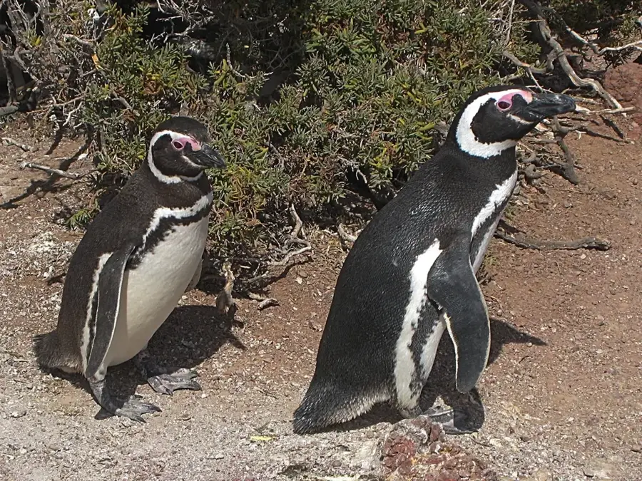
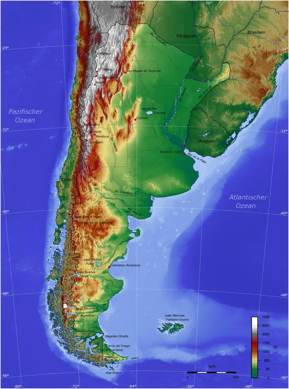
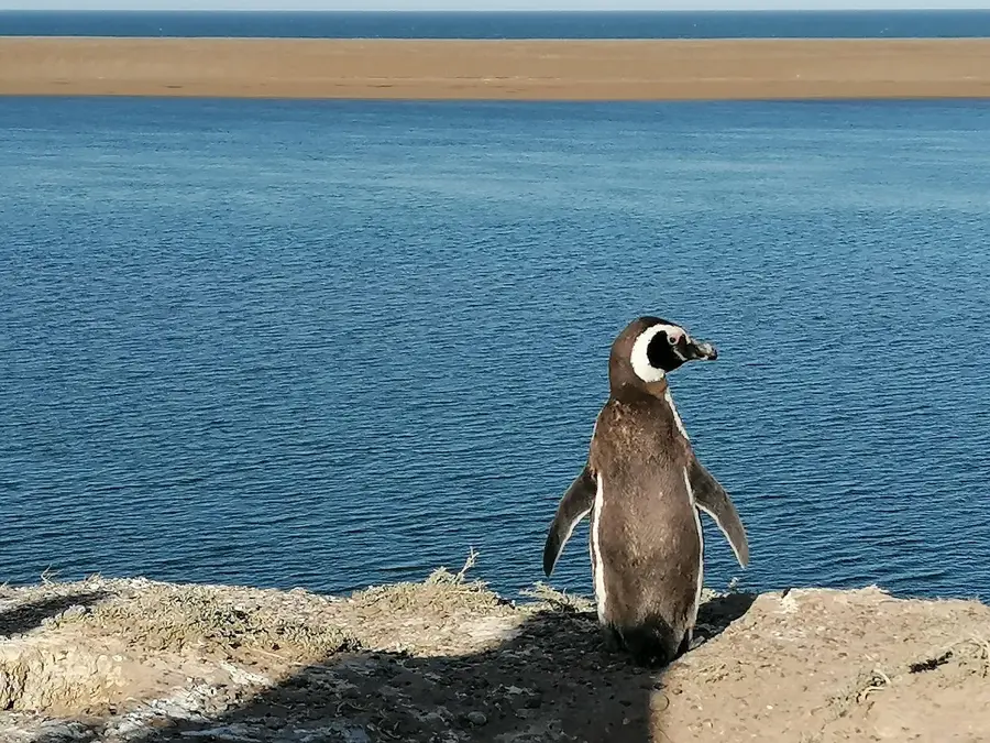
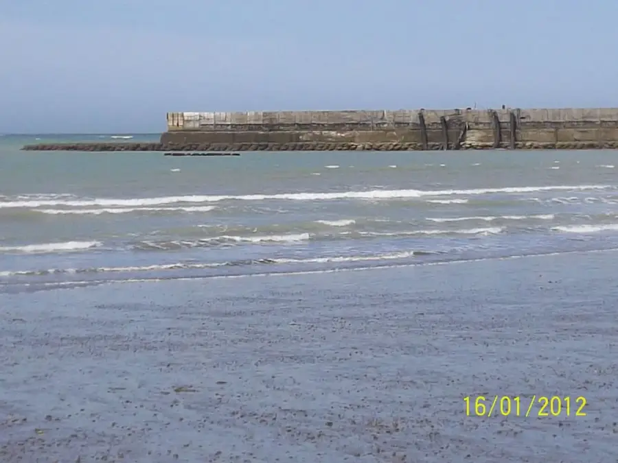
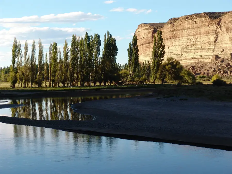
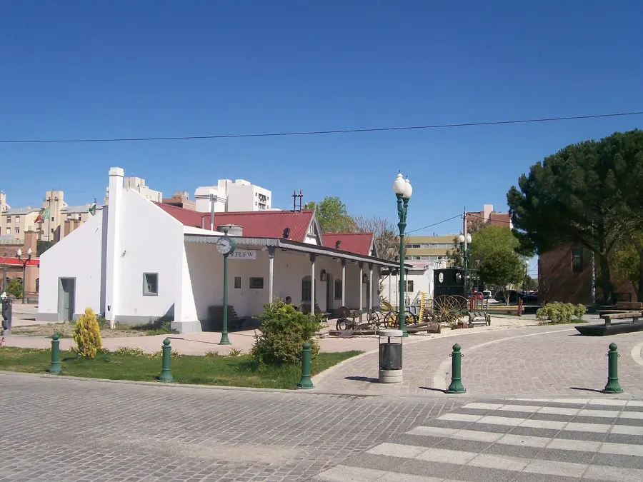
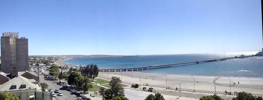
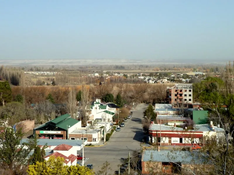
The Chubut River originates in the Andes mountains near the Chilean border and flows across the central Patagonian province of Chubut to the Atlantic Ocean. Over its course of approximately 800 kilometers, the river winds through diverse landscapes, including deep canyons and vast desert steppes. A major landmark along its path is the Florentino Ameghino Dam, an engineering feat completed in the 1960s within a striking red-rock canyon to provide hydroelectric power and irrigation. Historically, the river is famous for the Welsh settlement that began in 1865; the lower valley towns of Gaiman and Trelew still maintain strong Welsh cultural traditions and architecture. The river's waters were crucial for the survival of these pioneers, allowing them to establish a thriving agricultural community in an arid region. Today, the Chubut River is a popular spot for fly fishing and kayaking, offering striking views of unique geological formations. At its mouth near Playa Unión, visitors can often spot the distinctive black-and-white Commerson's dolphins, locally known as 'toninas overas.'
- Location: Argentina
- Top sights: Playa Santa Isabel · El Elsa · Avistaje de Toninas
- Nearby: Trelew (26 km)
Best time to visit & climate
The most pleasant time to visit is Jan, Feb, Dec.
| Jan | Feb | Mar | Apr | May | Jun | Jul | Aug | Sep | Oct | Nov | Dec | |
|---|---|---|---|---|---|---|---|---|---|---|---|---|
| Avg °C | 19 | 19 | 17 | 14 | 10 | 8 | 7 | 8 | 10 | 12 | 15 | 18 |
| Rain mm | 17 | 26 | 28 | 25 | 37 | 36 | 27 | 20 | 18 | 22 | 17 | 16 |
📋 Practical info
Geography
Facts
- The river starts in the Andes at an elevation of about 1,000 meters.
- The total length of the Chubut River is around 800 kilometers.
- The Florentino Ameghino Dam was officially opened in 1963.
- Welsh settlers established their colony in the valley in 1865.
- The name 'Chubut' comes from the Tehuelche word for 'transparent.'
- The river mouth is a prime spot for viewing Commerson's dolphins.
Explore nearby
Notable places around
Route planner — Car & Motorhome
Where do you start? We build the route here, with stops and country notes along the way.
© OpenStreetMap contributors · OpenRouteService
Sights in the town Chubut River (7)
Sights nearby
Frequently asked questions
What is special about Río Chubut?
Can you fish there?
Are there settlements there?
What is the best way to explore the river?
When is the weather most stable?
Chubut River: where is it located?
Chubut River: what is there to see?
Chubut River: when is the best time to visit?
Chubut River: why is it worth visiting?

Nearby cities

History & landmarks
More places