Plizio Visual Lab
Patagonian Meseta

Weather…
Water temperature…
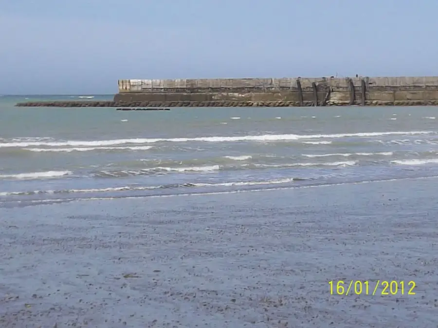
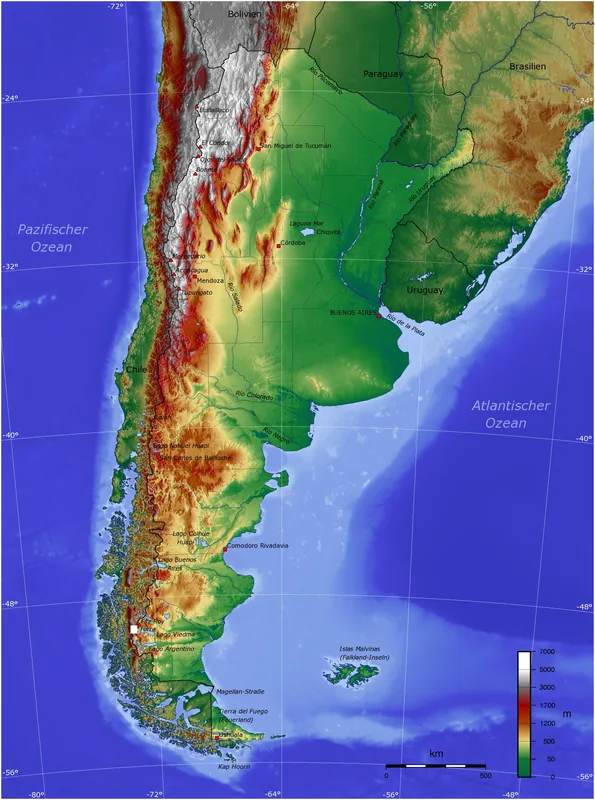
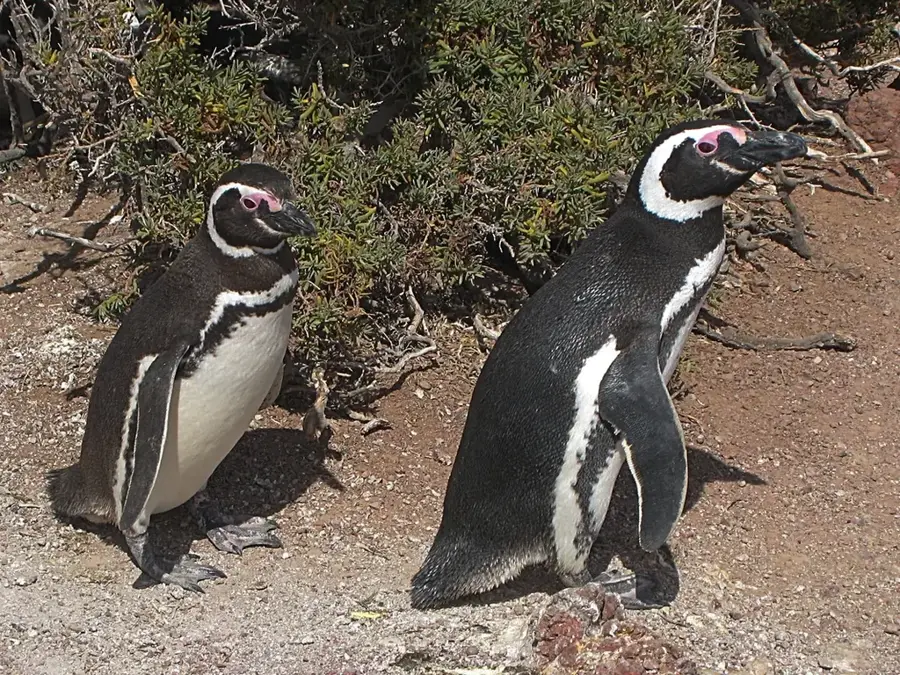
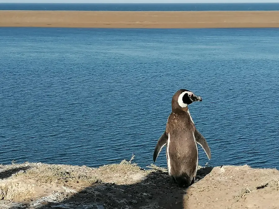
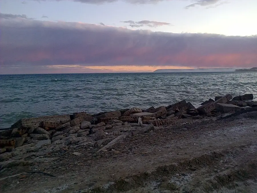
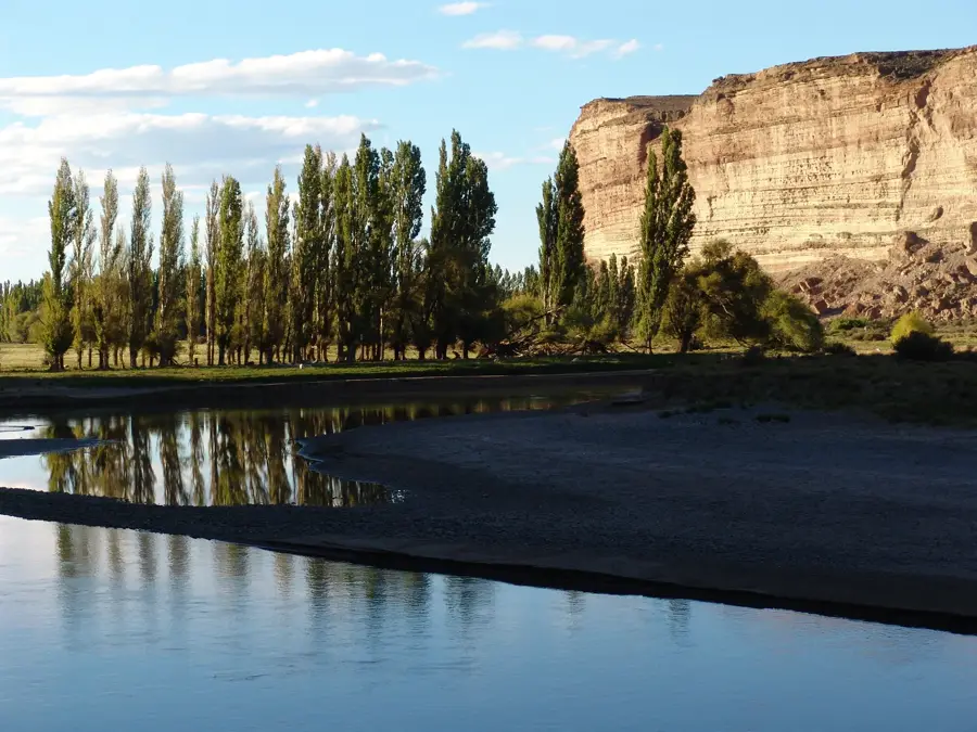
The Patagonian Meseta (Patagonian Plateau) is a characteristic relief of southern Argentina, consisting of a succession of gigantic steps that descend from the base of the Andes to the Atlantic Ocean. This vast and arid landscape is marked by deep valleys (cañadones), salt depressions, and isolated volcanic cones. The climate is harsh, with constant winds and little rainfall, creating a steppe dominated by low shrubs and hardy grasses. Despite its desolate appearance at first glance, the meseta is a region rich in mineral and hydrocarbon resources, and is also the habitat of emblematic species such as the guanaco and the lesser rhea (choique). The edges of these plateaus form high cliffs where they meet the sea, offering a landscape of overwhelming solitude and unique wild beauty.
- Location: Argentina
- Nearby: Comodoro Rivadavia (67 km)
Best time to visit & climate
The most pleasant time to visit is Jan, Feb, Dec.
| Jan | Feb | Mar | Apr | May | Jun | Jul | Aug | Sep | Oct | Nov | Dec | |
|---|---|---|---|---|---|---|---|---|---|---|---|---|
| Avg °C | 18 | 17 | 14 | 9 | 5 | 2 | 1 | 4 | 7 | 10 | 13 | 16 |
| Rain mm | 9 | 16 | 30 | 25 | 31 | 32 | 23 | 26 | 18 | 12 | 13 | 13 |
📋 Practical info
Geography
Facts
- Covers over 600,000 square kilometers of Argentine territory.
- The altitude gradually decreases from 1,500 m in the west to 100 m in the east.
- The Bajo del Gualicho depression is one of the lowest points (-72 m).
- Includes vast deposits of oil, natural gas, and uranium.
- Fluvial-glacial erosion has created deep canyons in the relief.
- It is the main area for sheep farming (wool production).
- Preserves geological traces of ancient petrified forests.
Explore nearby
Notable places around
Route planner — Car & Motorhome
Where do you start? We build the route here, with stops and country notes along the way.
© OpenStreetMap contributors · OpenRouteService
Sights nearby
Frequently asked questions
What awaits me in the Meseta Patagónica?
Is it very windy there?
Can you hike there?
How is the weather?
Is it a trip for families?
Patagonian Meseta: where is it located?
Patagonian Meseta: when is the best time to visit?
Patagonian Meseta: why is it worth visiting?

Nearby cities
Nature
More places