Plizio Visual Lab
Uíge Hills
Weather…
Water temperature…
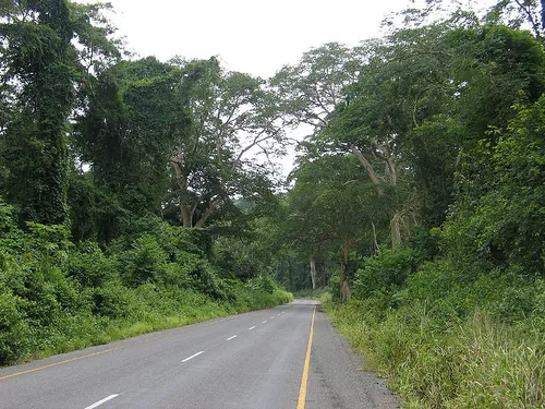
The Uíge Hills represent a crucial relief system in northern Angola, renowned for their fertile soils and humid tropical climate. This hilly landscape is situated at an average altitude of approximately 800 to 1300 meters, forming part of the northern edge of the Angolan central plateau. Geologically, the area is marked by metamorphic rocks that, through millions of years of intense weathering, have produced nutrient-rich lateritic soils. Historically, Uíge was the epicenter of Angolan coffee production, especially during the colonial era of the 20th century, when Angola was one of the world's leading exporters. The topography favors the cultivation of Robusta coffee in lower elevations and Arabica in the higher reaches of the hills. The region is also hydrographically significant, as numerous tributaries of the Cuanza and Zaire rivers originate here. Despite the challenges of the civil war, the region is currently experiencing an agricultural renaissance and remains an ecologically valuable area with remnants of tropical rainforest.
- Location: Angola
- Nearby: Damba (37 km)
Best time to visit & climate
The most pleasant time to visit is Jun–Aug.
| Jan | Feb | Mar | Apr | May | Jun | Jul | Aug | Sep | Oct | Nov | Dec | |
|---|---|---|---|---|---|---|---|---|---|---|---|---|
| Avg °C | 23 | 23 | 23 | 23 | 23 | 22 | 22 | 23 | 24 | 24 | 23 | 22 |
| Rain mm | 148 | 144 | 182 | 178 | 75 | 7 | 2 | 15 | 54 | 141 | 218 | 186 |
📋 Practical info
Geography
Facts
- The highest elevation in the Uíge Hills reaches approximately 1350 meters.
- The region records annual rainfall between 1200 and 1500 mm.
- In the 1970s, this area produced over 200,000 tons of coffee per year.
- The bedrock belongs mostly to the Neoproterozoic West Congo Supergroup.
- The average temperature is constant throughout the year at about 22-24 degrees Celsius.
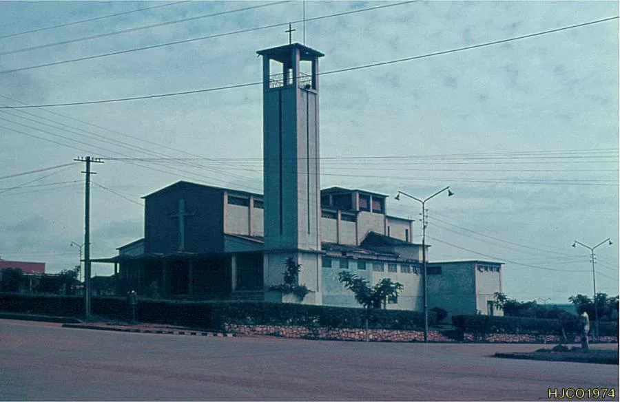
- The city of Uíge, capital of the province, is nestled within these hills.
Explore nearby
Notable places around
Route planner — Car & Motorhome
Where do you start? We build the route here, with stops and country notes along the way.
© OpenStreetMap contributors · OpenRouteService
Sights nearby
Frequently asked questions
What are the Uíge hills like?
When is the best time to visit the hills?
Is the region suitable for family trips?
Are there local markets there?
Is it photogenic?
Uíge Hills: where is it located?
Uíge Hills: when is the best time to visit?
Uíge Hills: why is it worth visiting?