Plizio Visual Lab
Negage
ℹ️Practical info — Negage
▾
🌤 Weather — 5 days
📍 Nearby
Sights nearby
💡 Tips
- Bring warm clothes for the evening, as the climate is cooler on this high plateau.
- Be sure to try the locally grown coffee, which the region is famous for.
- Visit the market early in the morning for the best selection of goods.
- Explore the remnants of old coffee plantations in the surrounding area.
🍽 Food
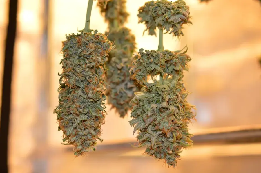
Taste the robusta coffee grown in the nearby hills at small cafes in town.
Cassava-based funge served with rich meat or vegetable stews at traditional eateries.
Often served as a spicy condiment with local dishes; use it sparingly!
🛍 Shopping · 🧘 Quiet spots
Bustling market where you can find fresh produce, beans, and local crafts.
Look for informal sellers to buy unroasted or roasted coffee beans.
The outskirts of town feature historical, quiet agricultural lands.
Take a walk to enjoy peaceful views of the green valleys.
Water temperature…
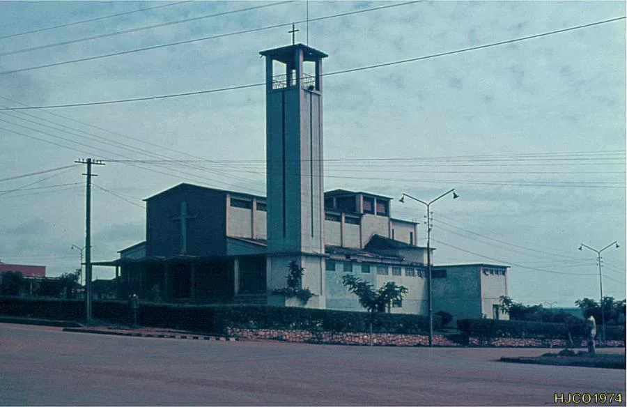
Negage is a historically and economically significant town in the Uíge province of northern Angola. It gained major importance during the colonial era as the site of the Portuguese Air Force Base No. 3, which played a central role in the Colonial War. The town is situated in a fertile region renowned for coffee, banana, and timber production. Geographically, Negage sits on a high plateau, providing a comparatively mild and pleasant climate. Following the end of the civil war, the airbase was repurposed for civilian use and now serves as a regional airport, enhancing connectivity for the province. The town's architecture still features many mid-20th-century buildings that reflect its former prosperity. Negage is also an educational hub, hosting several secondary schools and institutes that attract students from across the region. The local economy benefits from the recovery of the coffee sector and improved infrastructure, facilitating the export of agricultural products.
- Location: Angola
- Nearby: Camabatela (46 km)
- Population: ~92.950 (2023)
Best time to visit & climate
The most pleasant time to visit is Jun–Aug.
| Jan | Feb | Mar | Apr | May | Jun | Jul | Aug | Sep | Oct | Nov | Dec | |
|---|---|---|---|---|---|---|---|---|---|---|---|---|
| Avg °C | 22 | 22 | 22 | 22 | 22 | 21 | 22 | 23 | 24 | 23 | 22 | 21 |
| Rain mm | 114 | 121 | 150 | 141 | 42 | 4 | 1 | 14 | 51 | 142 | 204 | 141 |
Geography
Facts
- Negage Airport features an asphalt runway that is 2,400 meters long.
- The town is situated at an elevation of approximately 1,250 meters.
- Negage was officially elevated to city status (Cidade) on June 26, 1970.
- During the colonial era, it was a major hub for Robusta coffee production.
- The distance to the provincial capital, Uíge, is only about 37 kilometers.
- The town is home to a faculty of the Kimpa Vita University.
Explore nearby
Notable places around
Route planner — Car & Motorhome
Where do you start? We build the route here, with stops and country notes along the way.
© OpenStreetMap contributors · OpenRouteService
Sights in the town Negage (1)
Frequently asked questions
How many days do you need for Negage?
When is the best time to visit Negage?
What is the easiest way to get to Negage?
What food is typical in Negage?
Is Negage family-friendly?
Negage: where is it located?
Negage: when is the best time to visit?
Negage: why is it worth visiting?