Plizio Visual Lab
Shkumbin River
Weather…
Water temperature…
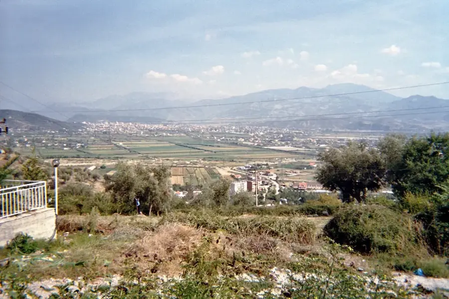
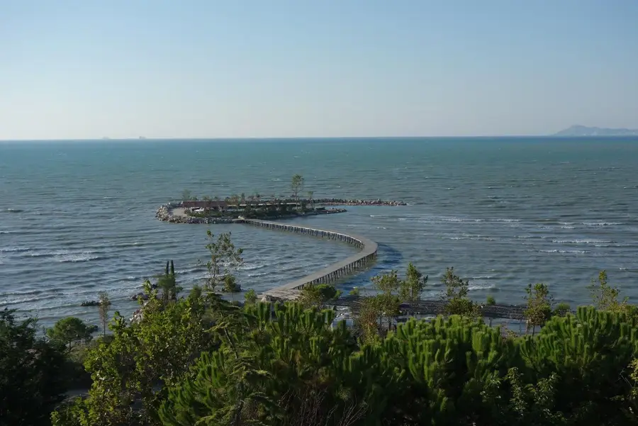
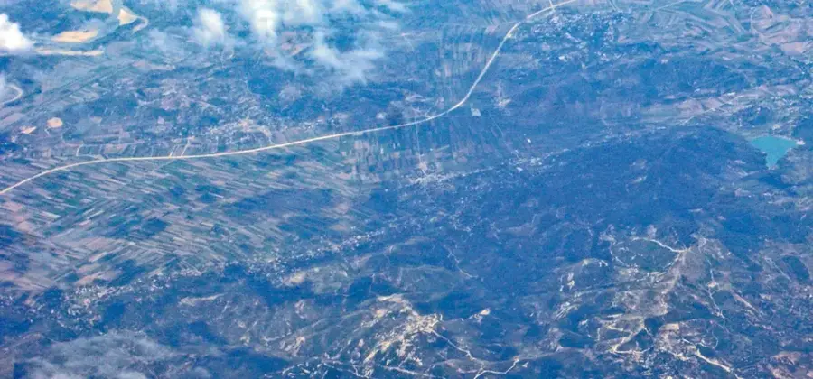
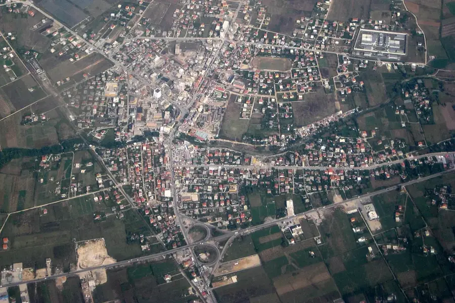
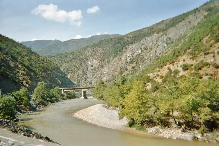
The Shkumbin River is a primary waterway in central Albania, stretching approximately 181 kilometers and serving as a major cultural divide within the country. Originating in the Valamara Mountains west of Lake Ohrid, it flows westward through rugged terrain and narrow gorges before emptying into the Adriatic Sea north of the Karavasta Lagoon. Historically, the river valley was of immense strategic importance, hosting the ancient Via Egnatia that connected Rome with Constantinople. Linguistically, the Shkumbin marks the traditional boundary between the Gheg dialects in the north and the Tosk dialects in the south. Its drainage basin spans about 2,444 square kilometers, supporting diverse ecosystems and critical agricultural plains in central Albania. Despite modern industrial pressure, the river remains a vital geographic feature, defining the landscape and historical movements of people through the Balkan Peninsula for millennia.
- Location: Albania
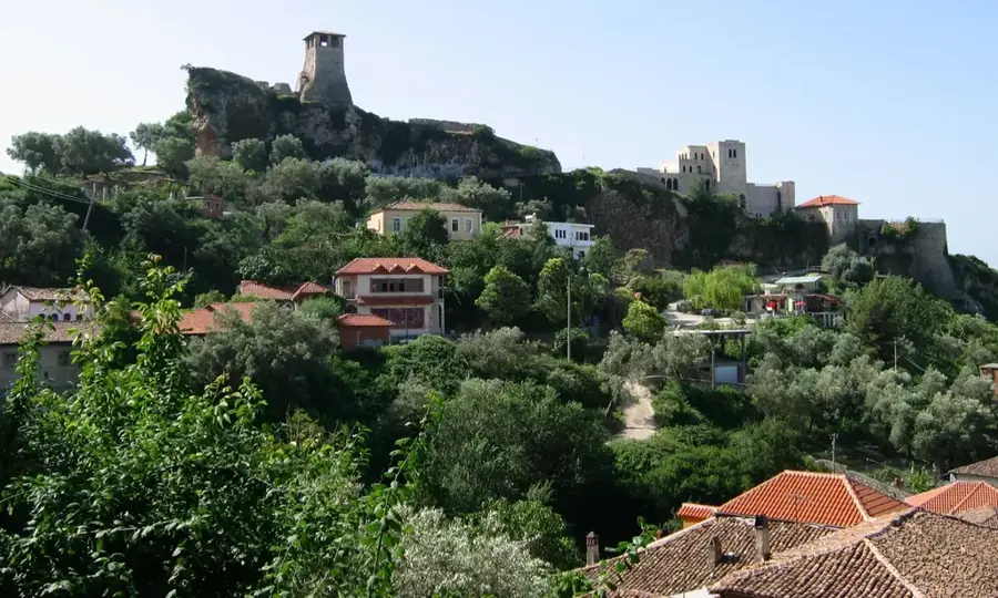
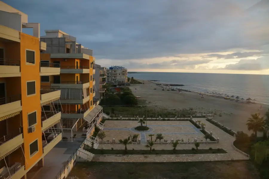
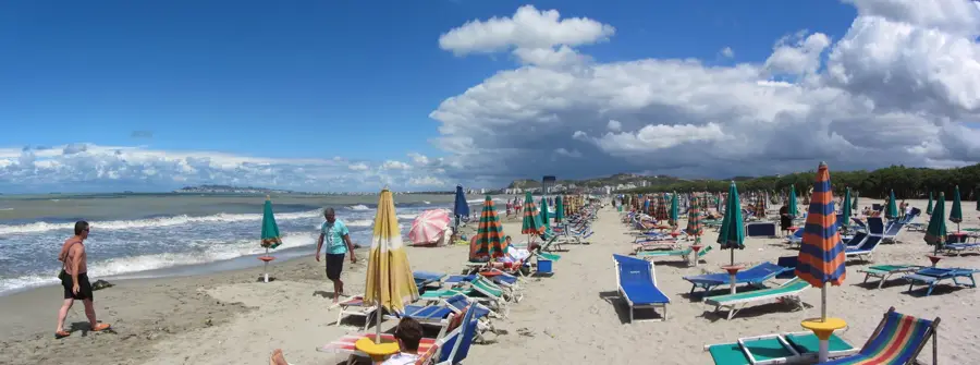
- Nearby: Spille (8 km)
Best time to visit & climate
The most pleasant time to visit is May, Jun, Sep.
| Jan | Feb | Mar | Apr | May | Jun | Jul | Aug | Sep | Oct | Nov | Dec | |
|---|---|---|---|---|---|---|---|---|---|---|---|---|
| Avg °C | 10 | 10 | 12 | 15 | 19 | 23 | 26 | 26 | 23 | 19 | 15 | 11 |
| Rain mm | 96 | 85 | 77 | 65 | 60 | 41 | 25 | 25 | 76 | 93 | 113 | 116 |
📋 Practical info
Geography
Facts
- The river has a total length of approximately 181 kilometers.
- Its drainage basin covers an area of about 2,444 square kilometers.
- It marks the linguistic border between Gheg and Tosk Albanian dialects.
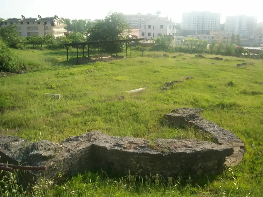
- The ancient Via Egnatia followed the river's path across central Albania.
- The river source is located in the Valamara Mountains.
- The Shkumbin empties into the Adriatic Sea north of Karavasta Lagoon.
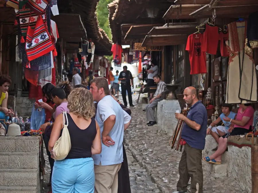
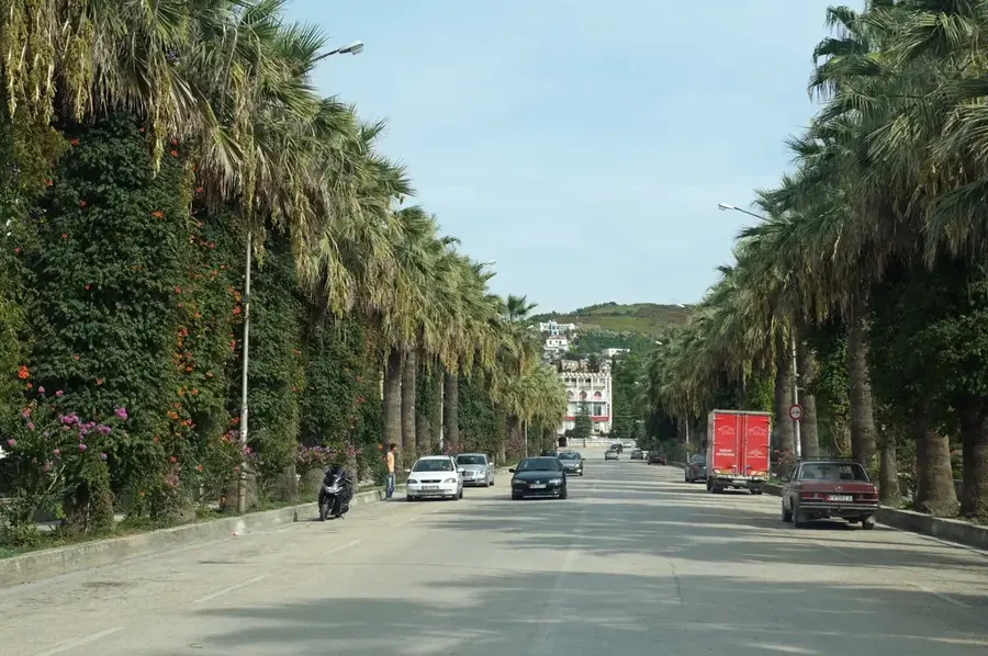
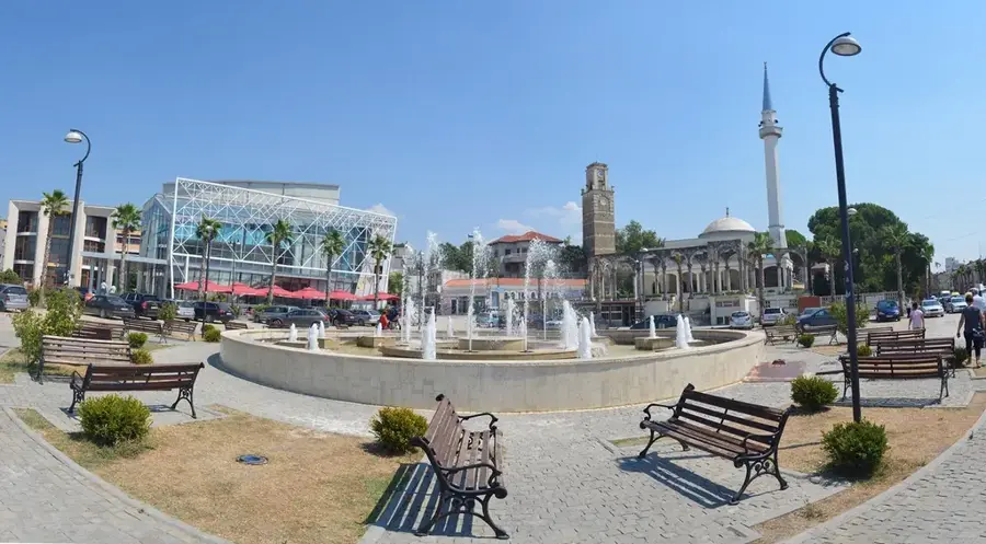
Explore nearby
Notable places around
Route planner — Car & Motorhome
Where do you start? We build the route here, with stops and country notes along the way.
© OpenStreetMap contributors · OpenRouteService
Sights nearby
Frequently asked questions
Where does the Shkumbin flow?
What is the cultural significance of the river?
Are there historical routes along the river?
Is the water of the Shkumbin clean?
Can you hike along the Shkumbin?
Shkumbin River: where is it located?
Shkumbin River: when is the best time to visit?
Shkumbin River: why is it worth visiting?

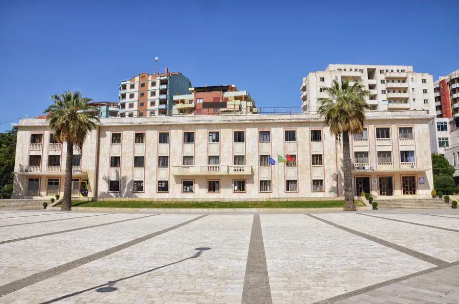
Nearby cities