Plizio Visual Lab
Mount Shpirag
Weather…
Water temperature…
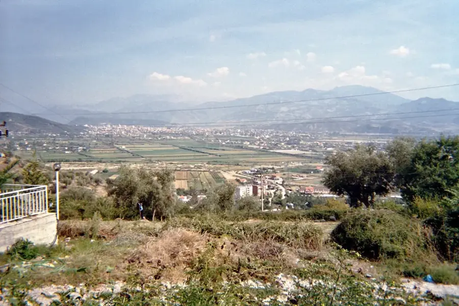
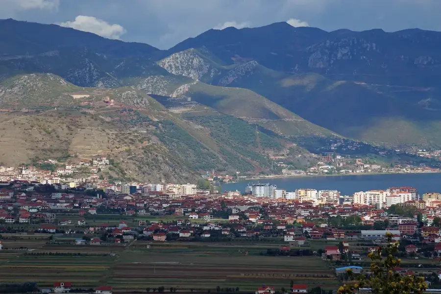
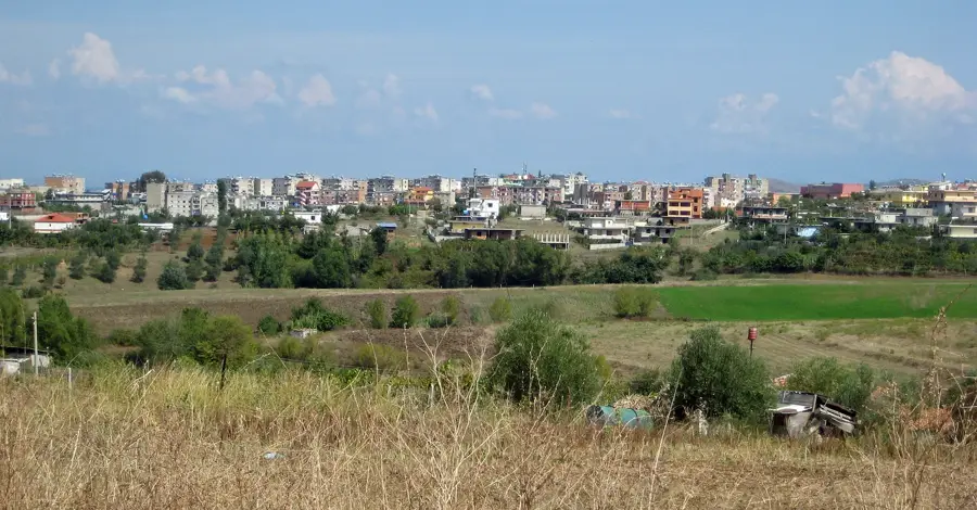
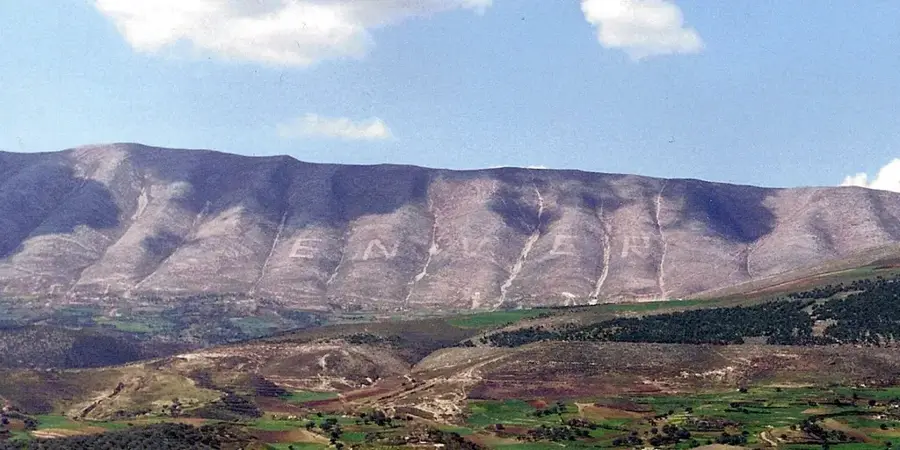
Mount Shpirag is a prominent mountain near the city of Berat in southern Albania, reaching an elevation of 1,198 meters. It is internationally recognized for its unique vertical erosion patterns, which appear as deep grooves or stripes along its limestone slopes. According to local mythology, the giants Shpirag and Tomorr fought over the love of a woman, and the giant Tomorr slashed Shpirag with a sword, creating the distinctive markings. During the communist era, the name "ENVER" was inscribed in massive stones on the mountain to honor dictator Enver Hoxha, but this was changed to "NEVER" by locals after 1992. Geologically, the mountain is a limestone formation with typical Mediterranean vegetation, including shrubs and herbs. The summit features a commanding view of the UNESCO-listed historic town of Berat and the surrounding fertile Osum River valley. Shpirag is not only a geological curiosity but also a site of significant historical and cultural memory for the Albanian people. Today, it attracts hikers and history enthusiasts who come to witness its geological uniqueness and the remnants of its political past.
- Location: Albania
- Top sights: Rezervuari Rakovës · Kalaja e Xhaxhaj (Mbjeshovë)
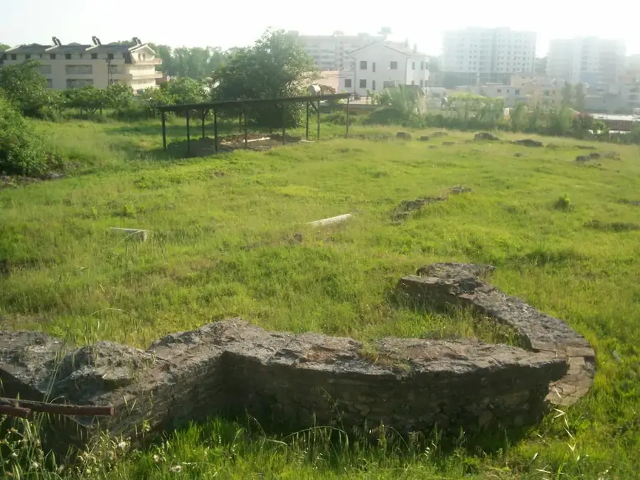
- Nearby: Dimal (8 km)
Best time to visit & climate
The most pleasant time to visit is Jun–Aug.
| Jan | Feb | Mar | Apr | May | Jun | Jul | Aug | Sep | Oct | Nov | Dec | |
|---|---|---|---|---|---|---|---|---|---|---|---|---|
| Avg °C | 4 | 5 | 8 | 12 | 17 | 22 | 25 | 25 | 20 | 15 | 10 | 5 |
| Rain mm | 105 | 92 | 82 | 61 | 58 | 37 | 21 | 25 | 79 | 98 | 125 | 131 |
📋 Practical info
Geography
Facts
- Elevation of 1,198 meters above sea level.
- Features distinctive vertical erosion grooves on its slopes.
- Famous for the 100-meter tall letters that spelled "ENVER".
- Located in the Berat region of southern Albania.
- Geological structure is predominantly composed of limestone.
- Offers a clear view of the Osum River and Berat valley.
Explore nearby
Notable places around
Route planner — Car & Motorhome
Where do you start? We build the route here, with stops and country notes along the way.
© OpenStreetMap contributors · OpenRouteService
Sights in the town Mount Shpirag (2)
Sights nearby
Frequently asked questions
What are the striking stripes on Mount Shpirag?
What legend is there about Mount Shpirag?
From which city can you see Shpirag best?
Can you hike up Shpirag?
Are there olive groves on Shpirag?
Mount Shpirag: where is it located?
Mount Shpirag: what is there to see?
Mount Shpirag: when is the best time to visit?
Mount Shpirag: why is it worth visiting?

Nearby cities