Plizio Visual Lab
Drin River
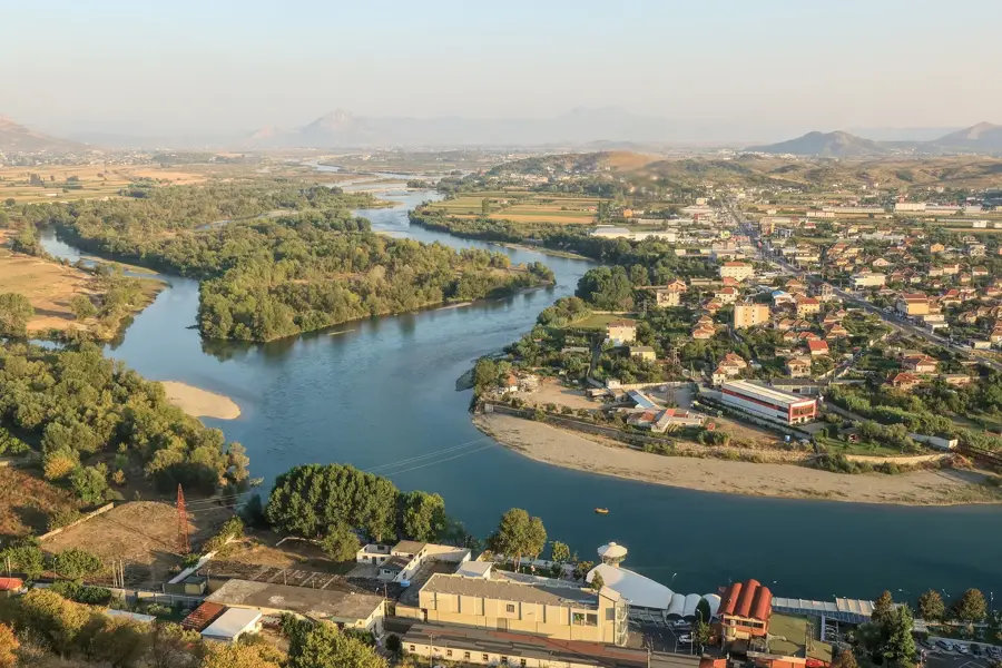
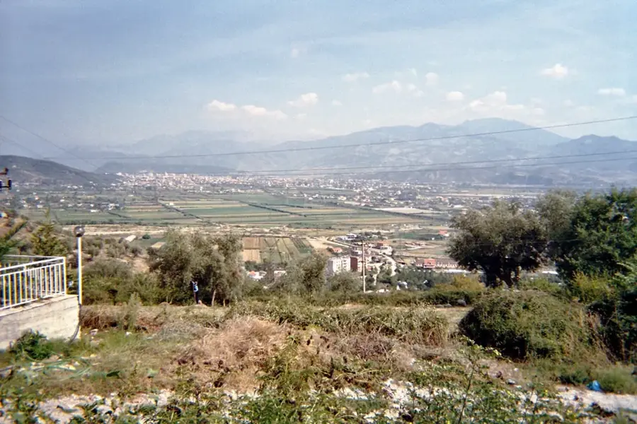
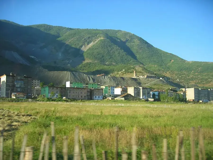
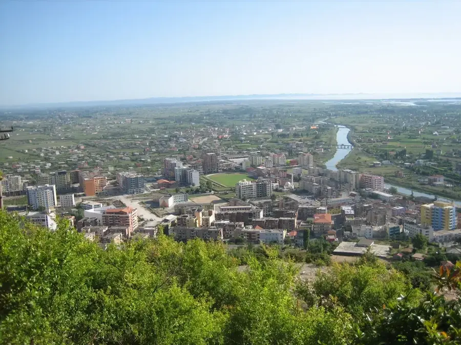
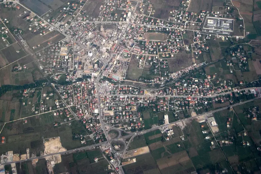
With a total length of 285 kilometers, the Drin is the longest river in Albania and forms the backbone of national energy production. it is formed by the confluence of the White Drin from Kosovo and the Black Drin from North Macedonia near the city of Kukës. Its drainage basin covers over 14,000 square kilometers and is characterized by a complex topography featuring deep gorges and high mountain ranges. During the socialist era, the river was massively transformed by a cascade of three large dams (Fierza, Koman, and Vau i Dejës), which today provide over 90% of Albania's electricity. Ecologically, the river hosts numerous endemic fish species, though it is impacted by heavy fragmentation due to the dams. Its mouth now primarily leads through an artificial channel into the Buna River, while the old branch flows directly into the Adriatic Sea.
- Location: Albania
- Nearby: Tale (5 km)
Best time to visit & climate
The most pleasant time to visit is Jun, Jul, Sep.
| Jan | Feb | Mar | Apr | May | Jun | Jul | Aug | Sep | Oct | Nov | Dec | |
|---|---|---|---|---|---|---|---|---|---|---|---|---|
| Avg °C | 6 | 7 | 10 | 14 | 18 | 23 | 26 | 26 | 22 | 17 | 12 | 8 |
| Rain mm | 142 | 131 | 125 | 94 | 80 | 57 | 32 | 33 | 104 | 126 | 170 | 163 |
📋 Practical info
Geography
Facts
- Total length: 285 kilometers
- Drainage basin: approx. 14,173 km²
- Origin: Confluence of White and Black Drin
- Significance: Provides over 90% of Albania's electricity
- Reservoirs: Fierza, Koman, Vau i Dejës
- Fish fauna: Home to the endemic Drin sturgeon
Explore nearby
Notable places around
Route planner — Car & Motorhome
Where do you start? We build the route here, with stops and country notes along the way.
© OpenStreetMap contributors · OpenRouteService
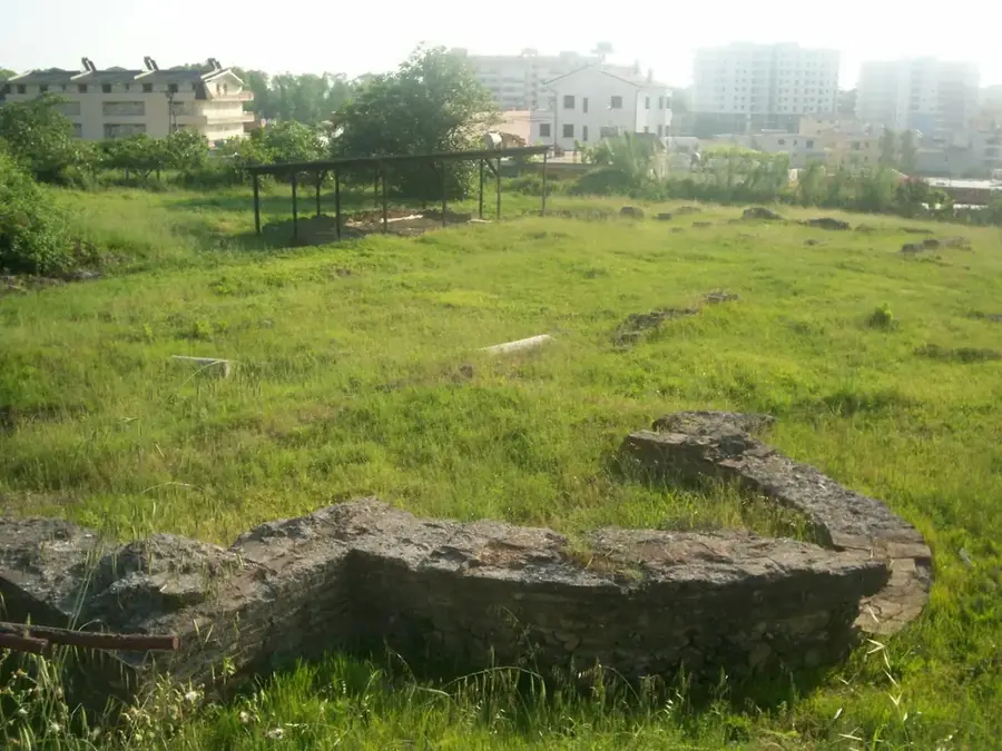
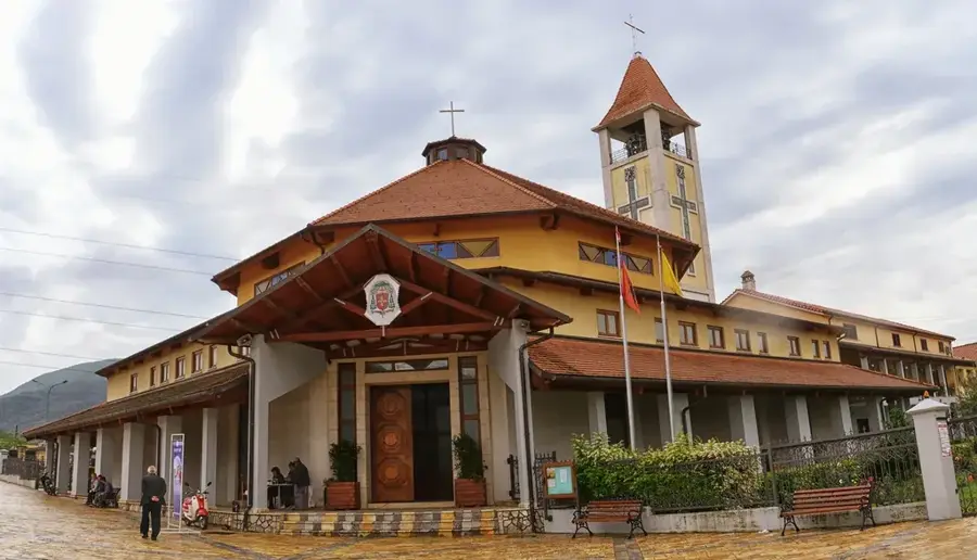
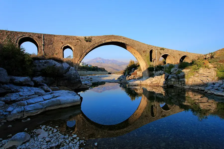
Sights in the town Drin River (1)
Sights nearby
Frequently asked questions
How long is the Drin River?
What is the importance of the Drin for energy supply?
Are there reservoirs created by the Drin?
Where does the Drin empty?
Can you fish in the Drin?
Drin River: where is it located?
Drin River: when is the best time to visit?
Drin River: why is it worth visiting?

Nearby cities