Plizio Visual Lab
Mafinga
ℹ️Practical info — Mafinga
▾
🌤 Weather — 5 days
📍 Nearby
Sights nearby
💡 Tips
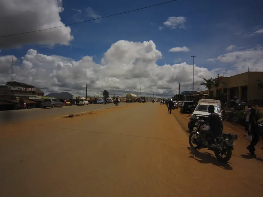
- The Mafinga region is extremely remote; ensure you carry at least two spare tires and plenty of extra fuel.
- A high-clearance 4x4 vehicle is essential, as the roads are often just rough tracks and can be impassable for others.
- Seek permission from the local Chief if you plan on camping in traditional land areas outside of established spots.
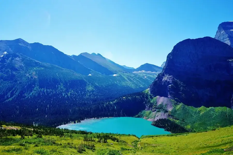
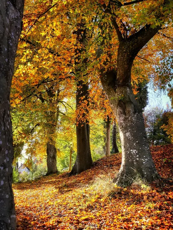
- Visit the mountains between May and October for the best hiking conditions and clear views.
- Prepare for very cold nights, as temperatures in the high altitudes of the Mafinga Hills can drop to freezing in June.
🍽 Food
Expect free-range 'village chicken' at local guesthouses, which has a much richer flavor than commercial poultry.
The staple maize porridge is often served here with wild-harvested leafy greens and peanut sauce.
Small, crispy fish from the Luangwa River, a popular and tasty side dish in the region.
🛍 Shopping · 🧘 Quiet spots
The area is famous for its high-quality dried beans; buy a supply at the Muyombe market.
Local artisans make durable baskets from natural fibers, sold at various rural markets.
Fresh, dark honey from the mountain forests is often available from local beekeepers along the road.
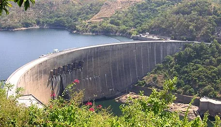
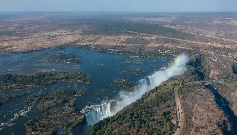
A tranquil and symbolic spot where one of Zambia's major rivers begins as a tiny mountain stream.
These natural springs offer a peaceful, therapeutic escape in a completely raw rural setting.
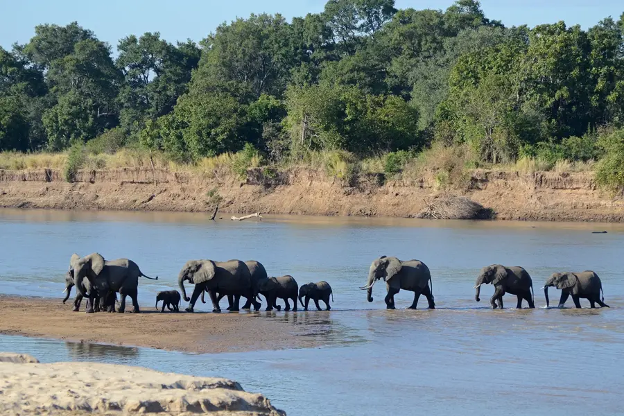
A vast, untouched wilderness area great for birdwatching and enjoying absolute solitude.
Water temperature…
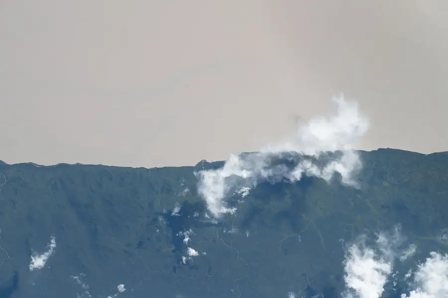
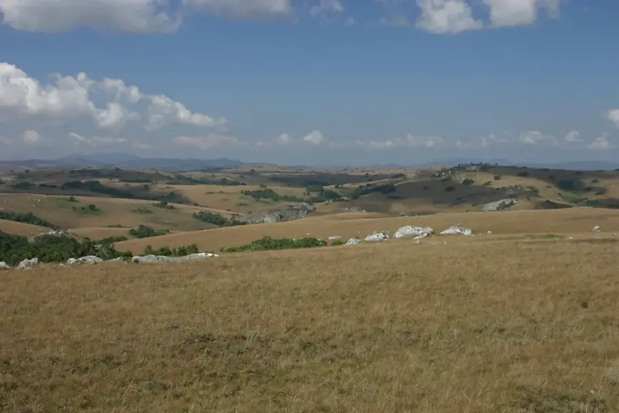
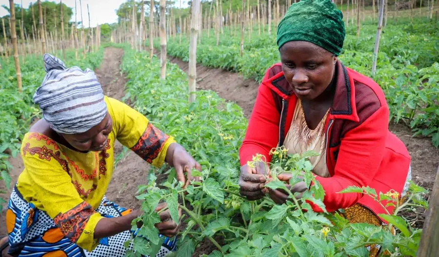
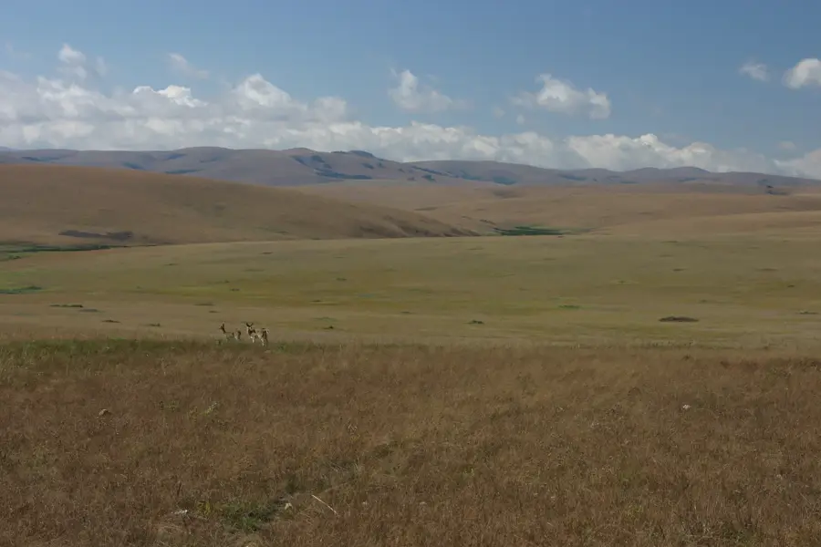
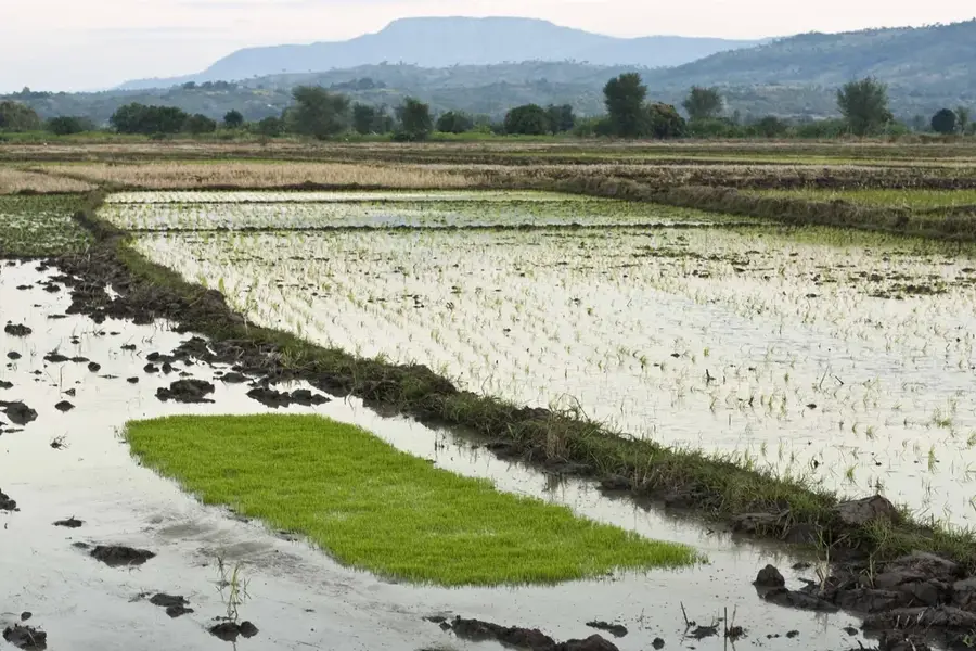
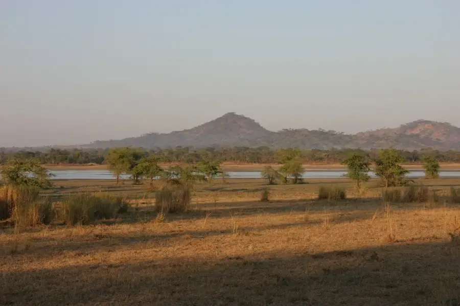
Mafinga is a district center in the Muchinga Province of Zambia, situated in one of the country's most geographically spectacular regions along the border with Malawi. The town lies at the base of the Mafinga Hills, a mountain range that contains Zambia's highest peaks, reaching elevations of over 2,300 meters. This mountainous area serves as the source of the Luangwa River, one of Southern Africa's most significant river systems, granting Mafinga immense ecological importance. Due to the high altitude, the climate is cooler and wetter than in much of the country, enabling the cultivation of specialized crops such as tea and coffee. The local economy is primarily agrarian, although infrastructure development is still ongoing due to the challenging topography and remote location. Mafinga holds vast potential for adventure tourism and mountaineering, yet it remains a largely undiscovered gem for naturalists and hikers.
- Location: Zambia
- Nearby: Nyika Plateau (33 km)
Best time to visit & climate
The most pleasant time to visit is May, Jul, Aug.
| Jan | Feb | Mar | Apr | May | Jun | Jul | Aug | Sep | Oct | Nov | Dec | |
|---|---|---|---|---|---|---|---|---|---|---|---|---|
| Avg °C | 24 | 24 | 23 | 22 | 21 | 19 | 19 | 21 | 24 | 26 | 27 | 25 |
| Rain mm | 285 | 210 | 237 | 128 | 31 | 13 | 9 | 7 | 4 | 26 | 92 | 265 |
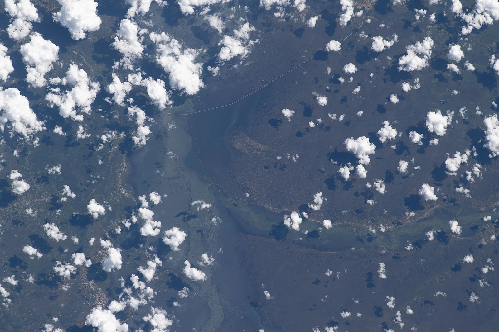
Geography
Facts
- The Mafinga Hills contain the highest point in Zambia at 2,329 meters.
- The headwaters of the Luangwa River are located within this district.
- Mafinga District was officially established as a separate entity in 2011.
- The high altitude makes the area suitable for specialty highland coffee.
- Mafinga shares an international boundary with Malawi to the east.
- The area is recognized for its unique montane flora and fauna.
Explore nearby
Notable places around
Route planner — Car & Motorhome
Where do you start? We build the route here, with stops and country notes along the way.
© OpenStreetMap contributors · OpenRouteService
Frequently asked questions
What is the main feature of Mafinga?
Is Mafinga suitable for hikers?
When should one hike here?
Are there tourist facilities?
How to get there?
Mafinga: where is it located?
Mafinga: when is the best time to visit?
Mafinga: why is it worth visiting?

Nearby cities

History & landmarks
Nature
More places