Plizio Visual Lab
Zambezi Floodplains
Weather…
Water temperature…
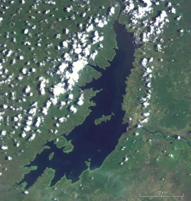
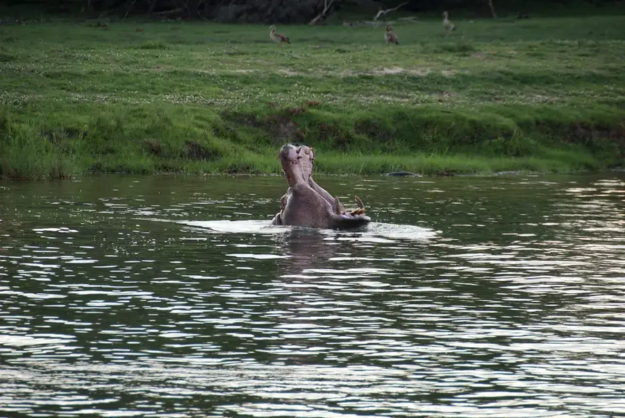
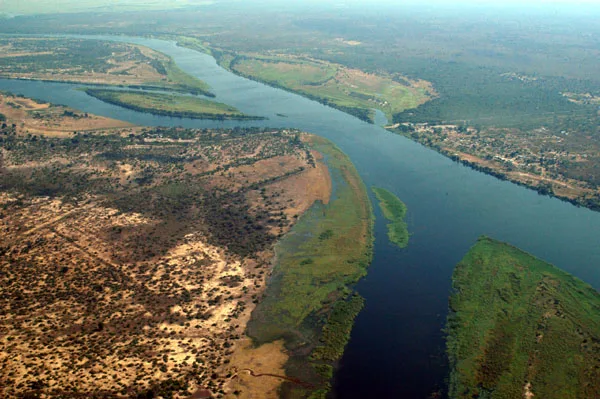
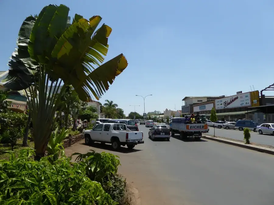
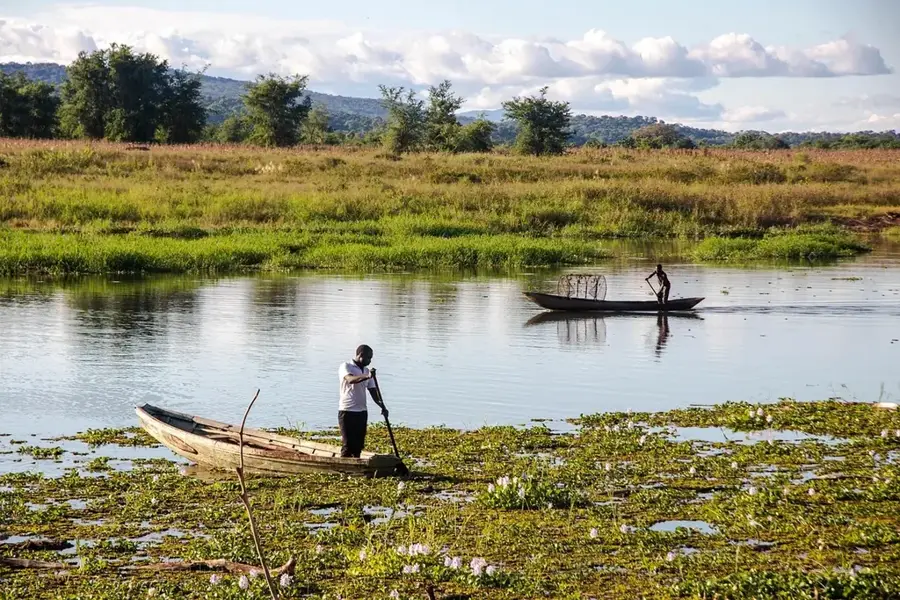
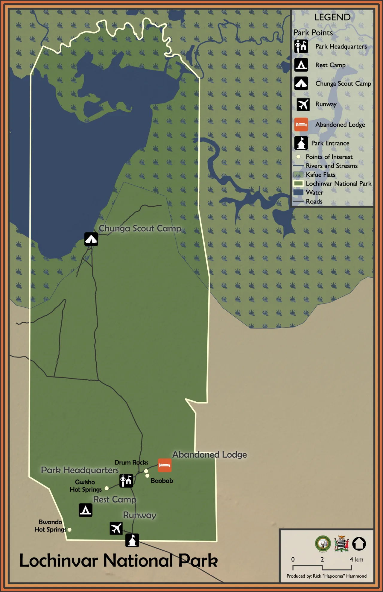
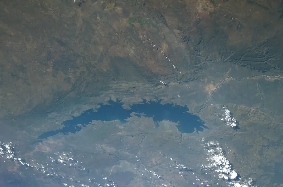
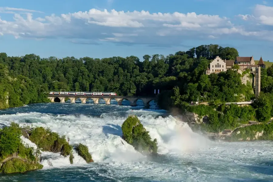
The Zambezi Floodplains, particularly the Barotse Plain in western Zambia, constitute one of Africa's most significant and dynamic wetland ecosystems. Every year, following the rainy season, the Zambezi River overflows its banks to inundate an area of up to 10,000 square kilometers, creating a vast inland sea. This seasonal pulse is the heartbeat of the region, dictating the lifestyle and traditions of the Lozi people who have inhabited the plains for centuries. The flooding culminates in the world-renowned Kuomboka ceremony, a royal procession where the King (Litunga) travels by ceremonial barge from his summer home on the flooded plain to higher ground. Geographically, the floodplains are characterized by an extremely flat landscape, broken only by small mounds where villages are strategically built to stay above the waterline. The ecosystem is exceptionally rich, serving as a vital breeding ground for fish and a sanctuary for hundreds of bird species and aquatic antelopes like the lechwe. As the floodwaters recede, they leave behind nutrient-rich silt that supports lush pastures for cattle and fertile soil for agriculture. The Barotse Plain is currently a candidate for UNESCO World Heritage status due to its unique cultural and natural integration.
- Location: Zambia
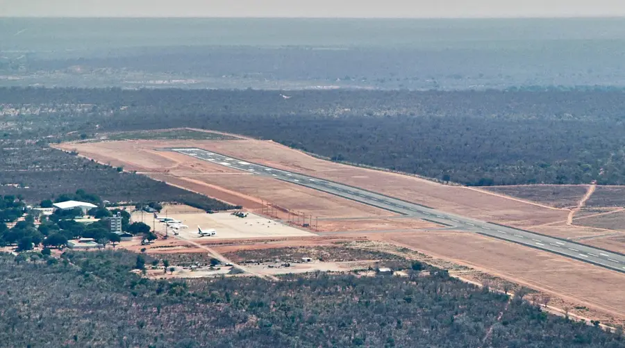
- Nearby: Kalabo (35 km)
Best time to visit & climate
The most pleasant time to visit is May, Jun, Aug.
| Jan | Feb | Mar | Apr | May | Jun | Jul | Aug | Sep | Oct | Nov | Dec | |
|---|---|---|---|---|---|---|---|---|---|---|---|---|
| Avg °C | 24 | 24 | 24 | 23 | 21 | 19 | 19 | 22 | 26 | 29 | 27 | 25 |
| Rain mm | 208 | 157 | 142 | 32 | 2 | 0 | 0 | 0 | 3 | 20 | 118 | 208 |
📋 Practical info
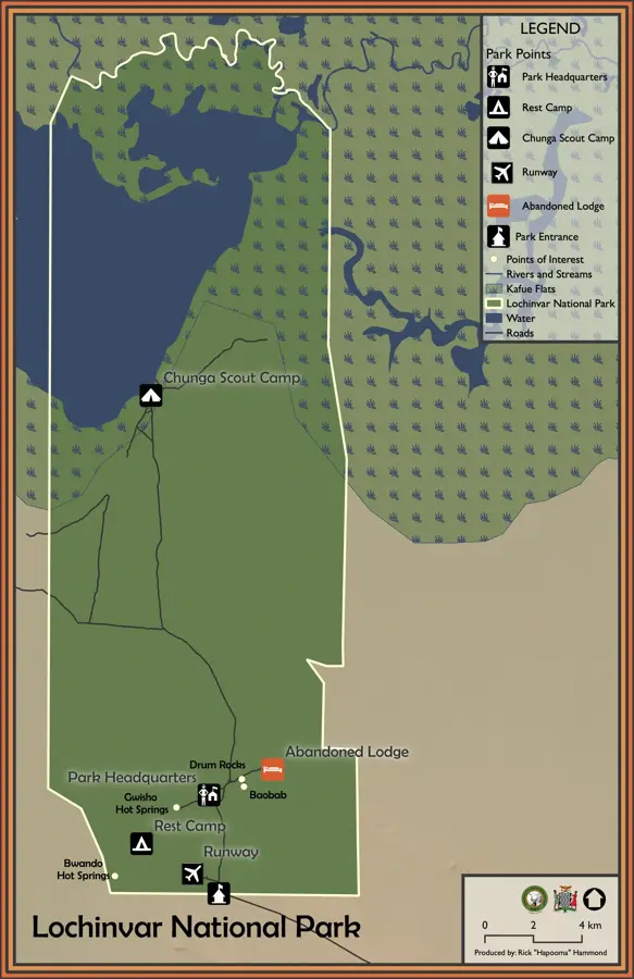
Geography
Facts
- The Barotse Plain stretches about 120 km in length and 50 km in width.
- The flooded area can expand to over 10,000 square kilometers annually.
- The royal barge, the Nalikwanda, is manned by up to 100 oarsmen.
- Flooding typically occurs between February and June each year.
- The plain supports a cattle population of over 500,000 head.
- It is a critical habitat for the endangered Wattled Crane.
Explore nearby
Notable places around
Route planner — Car & Motorhome
Where do you start? We build the route here, with stops and country notes along the way.
© OpenStreetMap contributors · OpenRouteService
Sights nearby
Frequently asked questions
When do the Zambezi floods occur?
Is the area accessible during the flood?
Which animals live in the floodplains?
Do you need a tent for the visit?
What makes the landscape so special?
Zambezi Floodplains: where is it located?
Zambezi Floodplains: when is the best time to visit?
Zambezi Floodplains: why is it worth visiting?

Nearby cities
History & landmarks
Nature
More places