Plizio Visual Lab
Mường Hoa Valley
Weather…
Water temperature…
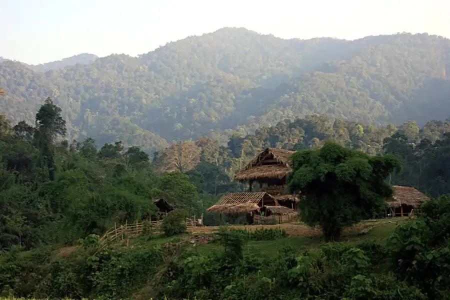
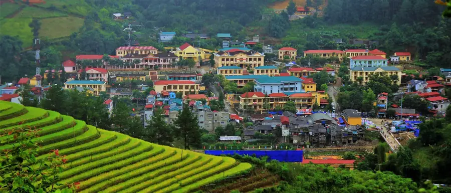
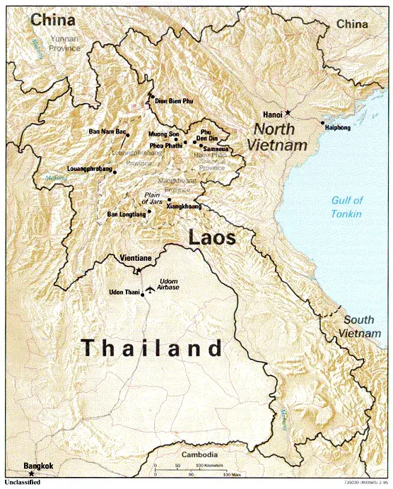
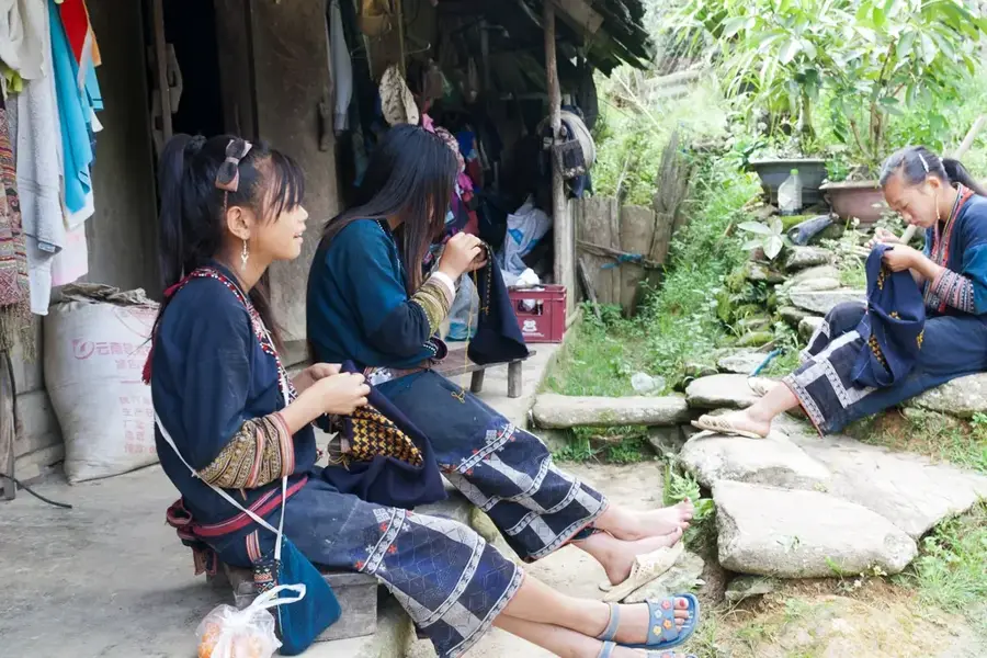
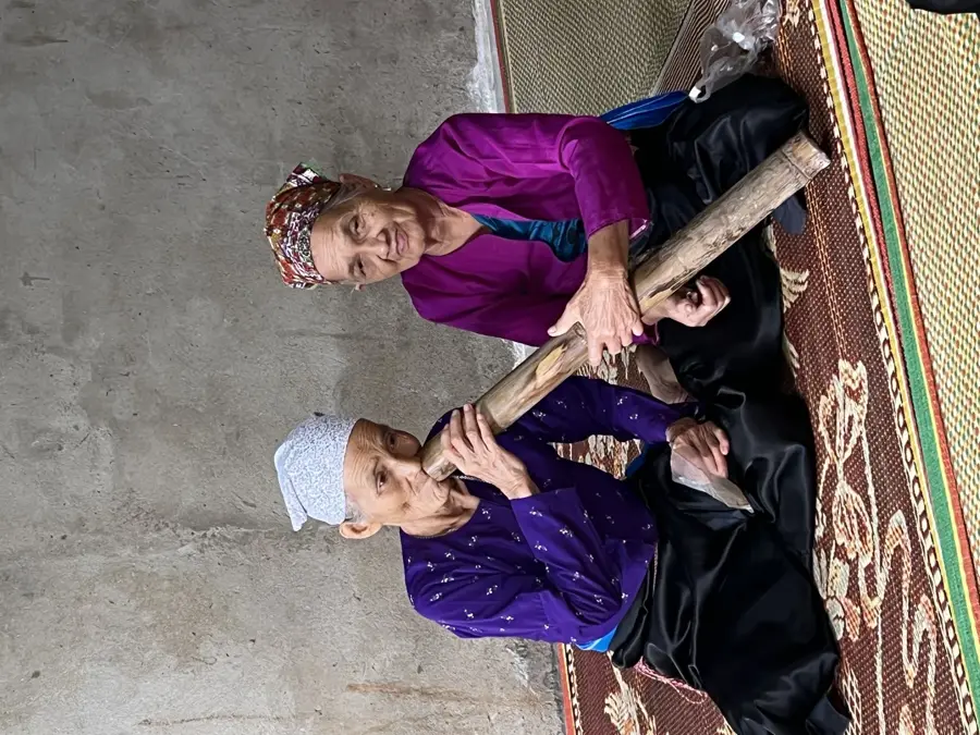
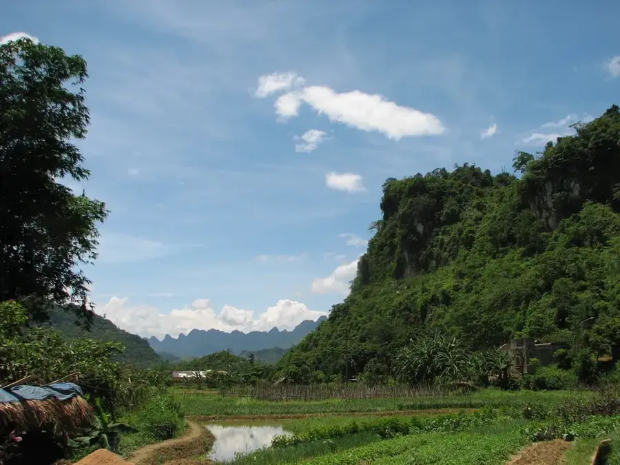
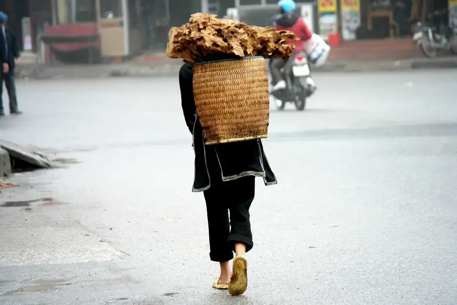
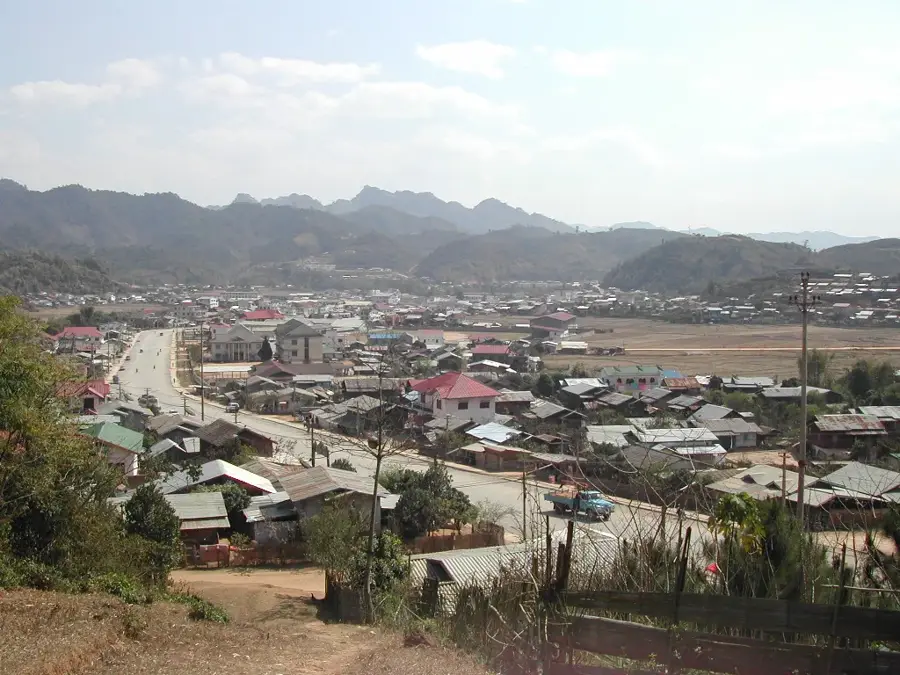
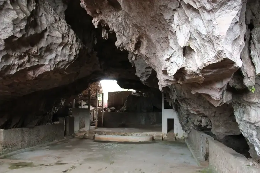
Muong Hoa Valley is located in Lao Cai Province, Northwest Vietnam, tucked away between the Hoang Lien Son mountain range and the town of Sa Pa. The valley is internationally acclaimed for its dramatic terraced rice fields, which cascade down steep slopes and represent a masterpiece of indigenous agricultural engineering. The Muong Hoa River winds through the valley floor, serving as a vital resource for various ethnic minority groups, including the Hmong, Red Dao, and Giay. A significant archaeological attraction is the Ancient Rock Field (Bai da co), featuring over 200 boulders carved with enigmatic patterns and scripts that remain largely undeciphered. Traditional villages such as Lao Chai and Ta Van offer deep cultural insights into the local weaving, indigo dyeing, and communal lifestyles of the highland peoples. Currently, the valley is a major hub for trekking and eco-tourism, recognized as a national heritage site for its outstanding landscape and historical significance.
- Location: Vietnam
- Top sights: Su Pan · Waterfall Quy Khach · Muong Hoa Valley
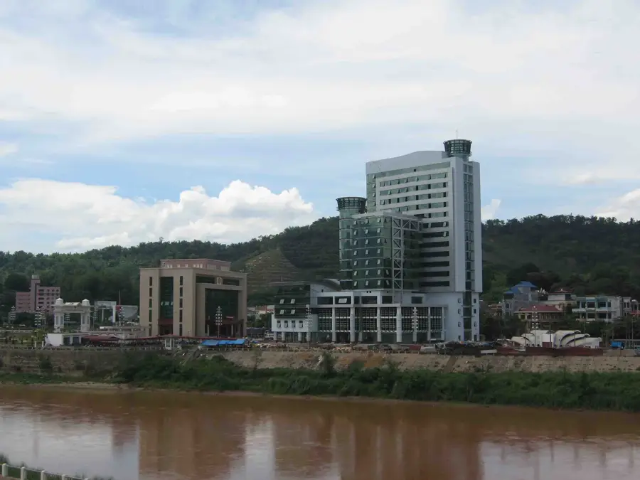
- Nearby: Lào Cai (14 km)
Best time to visit & climate
The most pleasant time to visit is Mar, Oct, Nov.
| Jan | Feb | Mar | Apr | May | Jun | Jul | Aug | Sep | Oct | Nov | Dec | |
|---|---|---|---|---|---|---|---|---|---|---|---|---|
| Avg °C | 12 | 15 | 19 | 22 | 24 | 25 | 25 | 25 | 23 | 20 | 17 | 13 |
| Rain mm | 41 | 23 | 53 | 110 | 173 | 215 | 287 | 331 | 190 | 96 | 50 | 33 |
📋 Practical info
Geography
Facts
- The valley is situated at an average elevation of 1,000 meters.
- The Ancient Rock Field consists of over 200 carved boulders.
- The Muong Hoa River flows for approximately 15 kilometers through the valley.
- The area is home to five distinct ethnic minority communities.
- The terraced fields were recognized as a national monument in 2009.
- French archaeologist Victor Goloubew first documented the rock carvings in 1925.
Explore nearby
Notable places around
Route planner — Car & Motorhome
Where do you start? We build the route here, with stops and country notes along the way.
© OpenStreetMap contributors · OpenRouteService
Sights in the town Mường Hoa Valley (7)
Sights nearby
Frequently asked questions
What is special about Muong Hoa valley?
Can you hike there?
Is a guide advisable?
What is the weather like there?
When is harvest time?
Mường Hoa Valley: where is it located?
Mường Hoa Valley: what is there to see?
Mường Hoa Valley: when is the best time to visit?
Mường Hoa Valley: why is it worth visiting?

Nearby cities

History & landmarks
More places