Plizio Visual Lab
Orinokia Bridge

Weather…
Water temperature…
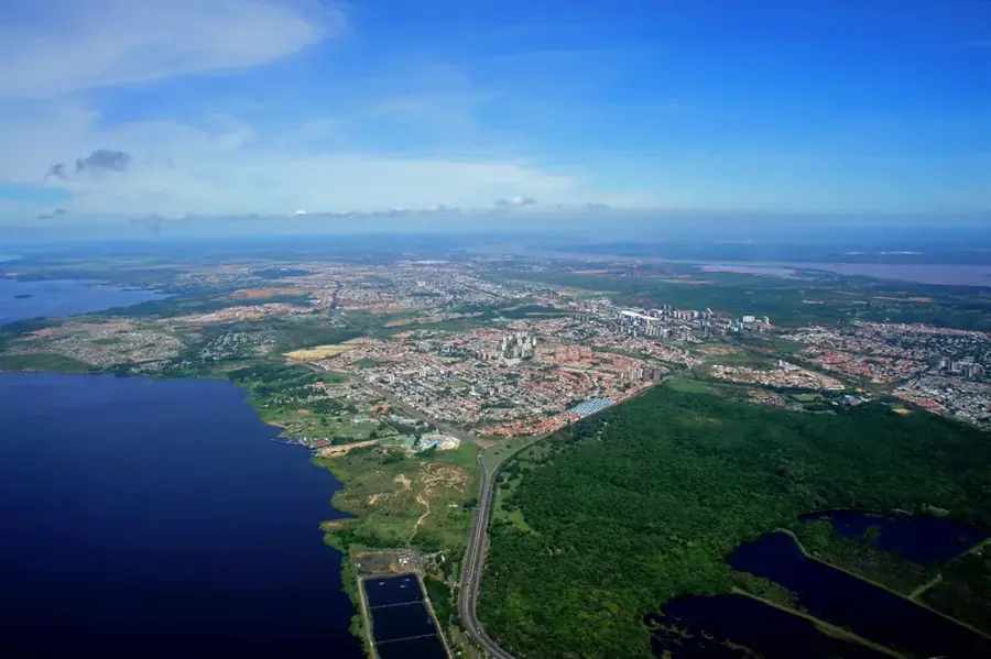
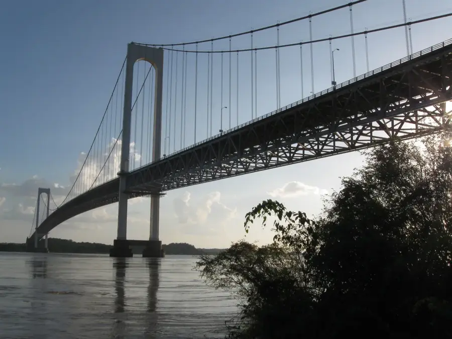
The Orinokia Bridge, also known as the Second Bridge over the Orinoco, is a significant multi-modal structure located near Ciudad Guayana. Opened on November 13, 2006, it was built to relieve congestion from the older Angostura Bridge and to enhance the industrial capacity of eastern Venezuela. The bridge is a cable-stayed design with a total length of 3,156 meters, carrying both four lanes of vehicle traffic and a central railway line. It connects the states of Bolívar and Anzoátegui, providing a vital link for the steel and aluminum industries of the region. The four central towers rise 120 meters above the river, providing a vertical clearance of 40 meters for large river vessels. The construction involved the use of advanced engineering techniques to handle the strong currents and fluctuating water levels of the Orinoco.
- Location: Venezuela
- Top sights: Teatro de SIDOR · Mirador del Puente · Puente Orinoquia
Best time to visit & climate
The most pleasant time to visit is Jan–Mar.
| Jan | Feb | Mar | Apr | May | Jun | Jul | Aug | Sep | Oct | Nov | Dec | |
|---|---|---|---|---|---|---|---|---|---|---|---|---|
| Avg °C | 27 | 28 | 29 | 30 | 29 | 28 | 27 | 27 | 28 | 28 | 28 | 27 |
| Rain mm | 42 | 21 | 21 | 37 | 87 | 160 | 154 | 141 | 90 | 94 | 92 | 74 |
📋 Practical info
Geography
Facts
- The bridge measures a total of 3,156 meters (10,354 feet) in length.
- It was inaugurated on November 13, 2006, by President Hugo Chávez.
- The four central pylons stand 120 meters tall.
- The design includes four lanes for cars and one single railway track.
- Vertical clearance for vessels on the Orinoco River is 40 meters.
- It is officially named the Orinokia Bridge, reflecting the indigenous heritage.
Explore nearby
Notable places around
Route planner — Car & Motorhome
Where do you start? We build the route here, with stops and country notes along the way.
© OpenStreetMap contributors · OpenRouteService
Sights in the town Orinokia Bridge (4)
Sights nearby
Frequently asked questions
What is the Orinokia Bridge?
Does it connect regions?
Is it important for traffic?
Is the view good?
Are there pedestrian paths there?
Orinokia Bridge: where is it located?
Orinokia Bridge: what is there to see?
Orinokia Bridge: when is the best time to visit?
Orinokia Bridge: why is it worth visiting?

History & landmarks
More places