Plizio Visual Lab
Hatta Mountains
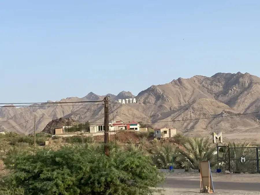
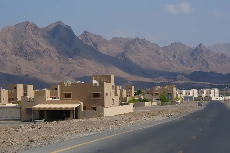
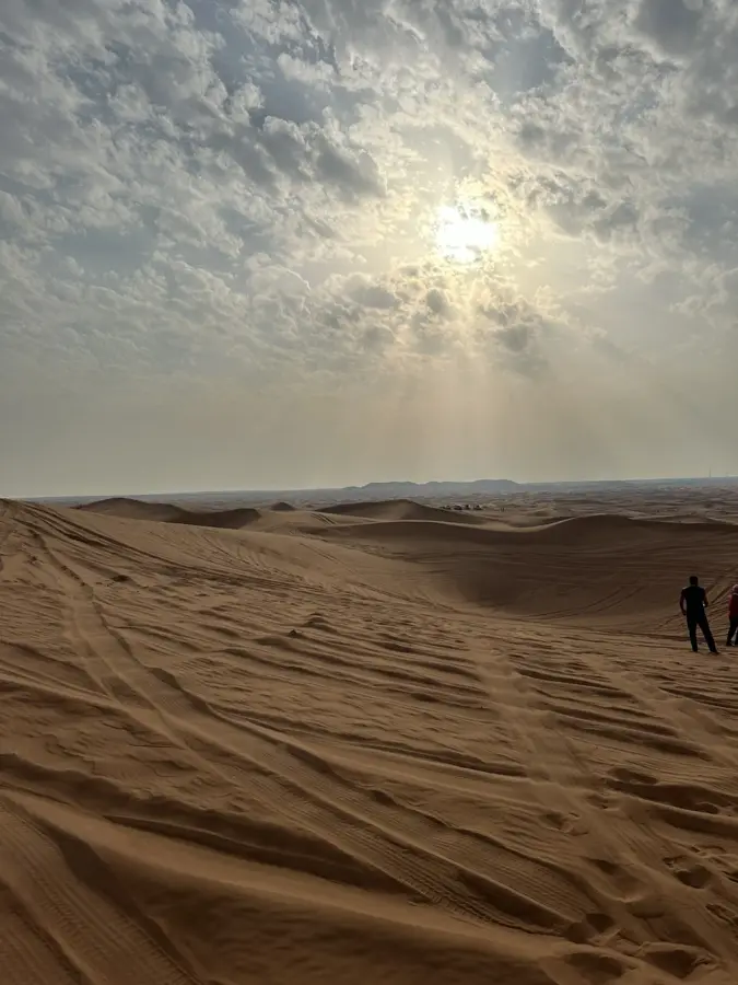
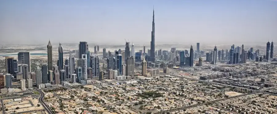
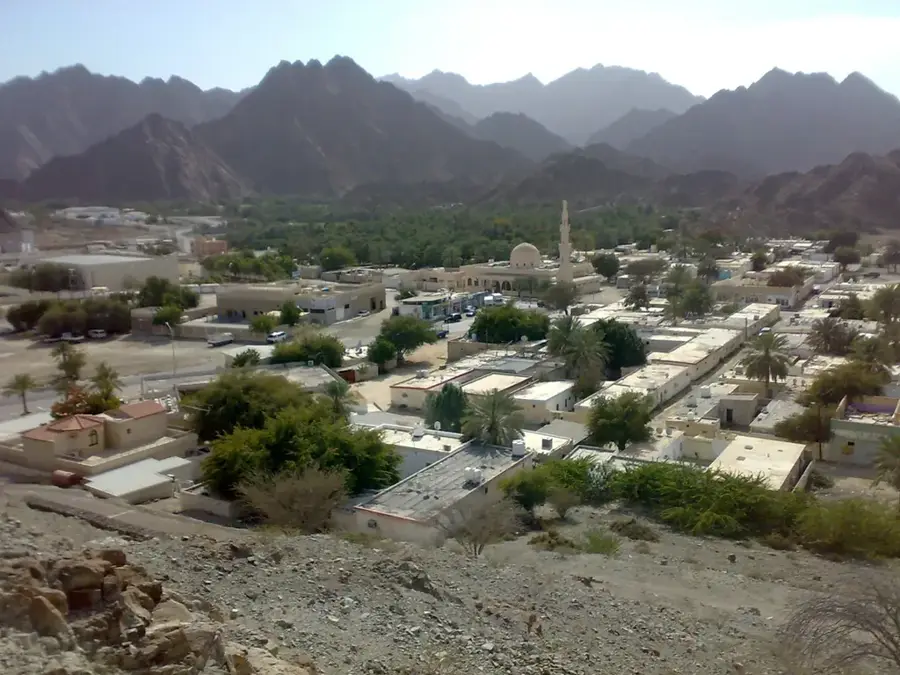
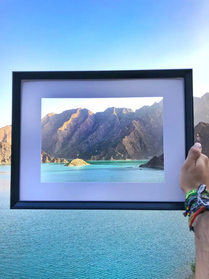
The Hatta Mountains are part of the majestic Hajar mountain range, located within an enclave of the Dubai emirate, approximately 130 kilometers east of the city. This region provides a stark contrast to Dubai's modern skyline, characterized by rugged peaks, deep valleys, and a slightly cooler climate. Geologically, the mountains consist of ophiolite rock, which was pushed up from the ocean floor by tectonic processes millions of years ago. Hatta is home to a rich history showcased at the Hatta Heritage Village, where reconstructed buildings and an ancient fort offer insights into the traditional lifestyle of mountain tribes. A central feature of the landscape is the Hatta Dam, whose turquoise waters set against the dark, jagged rocks create a memorable visual. The area has evolved into a hub for outdoor adventure, featuring hiking trails, mountain biking tracks, and kayaking opportunities on the reservoir. The local flora includes acacia and sidr trees, while the mountains serve as a refuge for the Arabian tahr and various bird species. Thanks to its natural beauty and well-developed infrastructure, Hatta is now one of the UAE's premier destinations for nature lovers and sports enthusiasts.
- Location: United Arab Emirates
- Top sights: Jabal Qimah · Hatta Mountain Sign · Jabal Ruwayshid
- Nearby: Masfout (11 km)
Best time to visit & climate
The most pleasant time to visit is Jan, Feb, Dec.
| Jan | Feb | Mar | Apr | May | Jun | Jul | Aug | Sep | Oct | Nov | Dec | |
|---|---|---|---|---|---|---|---|---|---|---|---|---|
| Avg °C | 19 | 21 | 24 | 29 | 33 | 35 | 35 | 34 | 33 | 30 | 25 | 21 |
| Rain mm | 22 | 11 | 20 | 6 | 3 | 9 | 5 | 7 | 5 | 3 | 12 | 15 |
📋 Practical info
Geography
Facts
- Hatta Fort was built in 1881 and served as a defense for the oasis settlement.
- The Hatta Dam has the capacity to hold millions of cubic meters of rainwater.
- Hatta features over 50 kilometers of dedicated mountain biking trails.
- Ancient rock carvings found in the mountains date back to the Iron Age.
- Hatta is famous for its high-quality honey produced from the Sidr tree blossoms.
- The climate in Hatta is typically 5-7 degrees Celsius cooler than in coastal Dubai.
Explore nearby
Notable places around
Route planner — Car & Motorhome
Where do you start? We build the route here, with stops and country notes along the way.
© OpenStreetMap contributors · OpenRouteService
Sights in the town Hatta Mountains (4)
Sights nearby
Frequently asked questions
What can you do in Hatta?
Is there a heritage village there?
What is the temperature?
Is it family-friendly?
When should you visit Hatta?
Hatta Mountains: where is it located?
Hatta Mountains: what is there to see?
Hatta Mountains: when is the best time to visit?
Hatta Mountains: why is it worth visiting?

Nearby cities

History & landmarks


Nature

More places