Plizio Visual Lab
Atatürk Dam
Weather…
Water temperature…
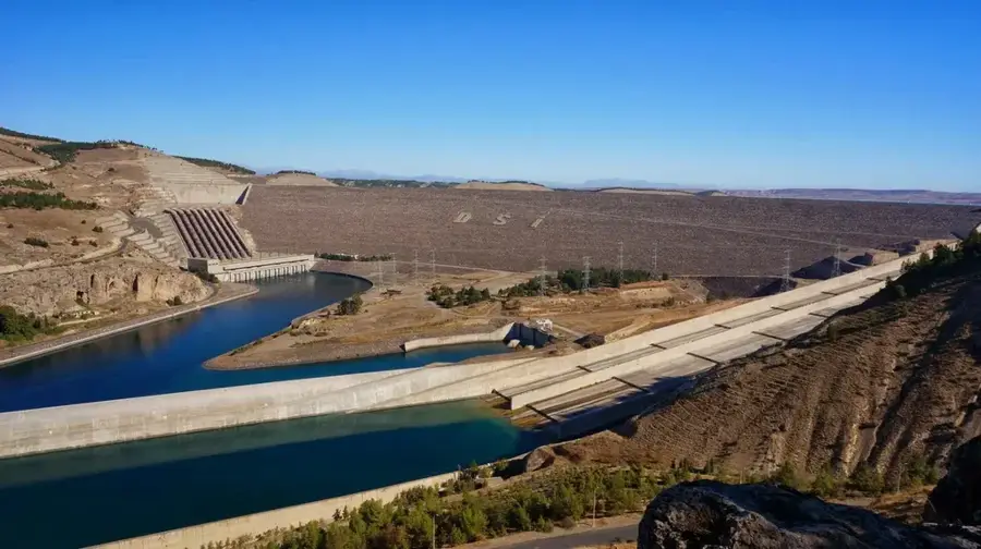
The Atatürk Dam is the centerpiece of the Southeastern Anatolia Project (GAP), located on the Euphrates River between the provinces of Adıyaman and Şanlıurfa. Built between 1983 and 1992, the dam serves the primary functions of hydroelectric power generation and extensive irrigation of the Harran Plain. With an installed capacity of 2,400 MW, it ranks as one of the largest hydropower plants in the world. The resulting reservoir covers an area of over 800 square kilometers, fundamentally altering the region's climate and agricultural potential. The project has enabled the large-scale cultivation of cotton, grains, and fruits in previously arid lands, significantly boosting the economic development of Southeastern Anatolia. The dam is a rock-fill structure with a clay core and is considered one of Turkey's most ambitious engineering feats. Beyond its economic impact, the reservoir has become a hub for fishing and water sports. The Atatürk Dam stands as a symbol of modern Turkey's industrial prowess and strategic water resource management.
- Location: Turkey
- Top sights: Atatürk Dam · Karababa Dağı
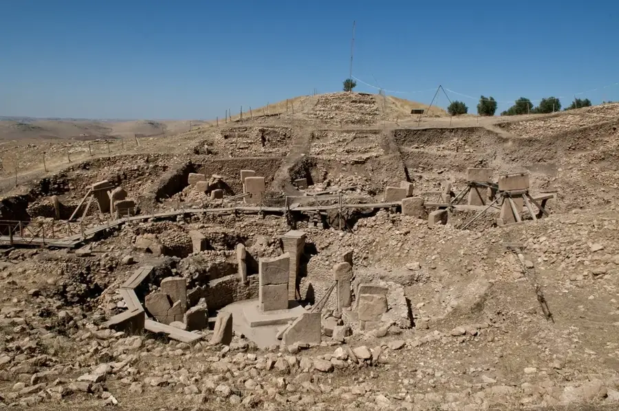
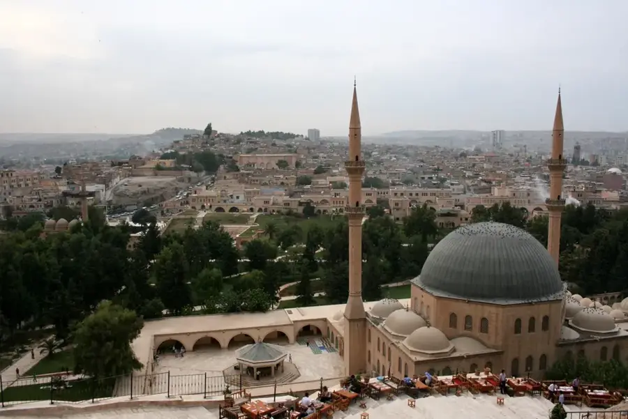
- Nearby: Şanlıurfa (60 km)
Best time to visit & climate
The most pleasant time to visit is May, Sep, Oct.
| Jan | Feb | Mar | Apr | May | Jun | Jul | Aug | Sep | Oct | Nov | Dec | |
|---|---|---|---|---|---|---|---|---|---|---|---|---|
| Avg °C | 3 | 5 | 10 | 15 | 21 | 28 | 32 | 32 | 27 | 20 | 11 | 5 |
| Rain mm | 70 | 61 | 51 | 49 | 29 | 7 | 1 | 1 | 7 | 32 | 49 | 72 |
📋 Practical info
Geography
Facts
- Was the third-highest rock-fill dam in the world upon completion
- Features 8 massive turbines generating 300 MW each
- The crest length of the dam measures 1,820 meters
- The reservoir holds a total capacity of 48.7 billion cubic meters
- Provides irrigation for over 470,000 hectares of land
- Produces an average of 8.9 billion kWh of electricity annually
Explore nearby
Notable places around
Route planner — Car & Motorhome
Where do you start? We build the route here, with stops and country notes along the way.
© OpenStreetMap contributors · OpenRouteService
Sights in the town Atatürk Dam (2)
Sights nearby
Frequently asked questions
What is the purpose of the Atatürk Dam?
Can one visit the dam?
When should one visit the region?
What is worth seeing near the dam?
Why is the dam important for the economy?
Atatürk Dam: where is it located?
Atatürk Dam: what is there to see?
Atatürk Dam: when is the best time to visit?
Atatürk Dam: why is it worth visiting?

Nearby cities


History & landmarks
More places