Plizio Visual Lab
Djebel Orbata
Weather…
Water temperature…
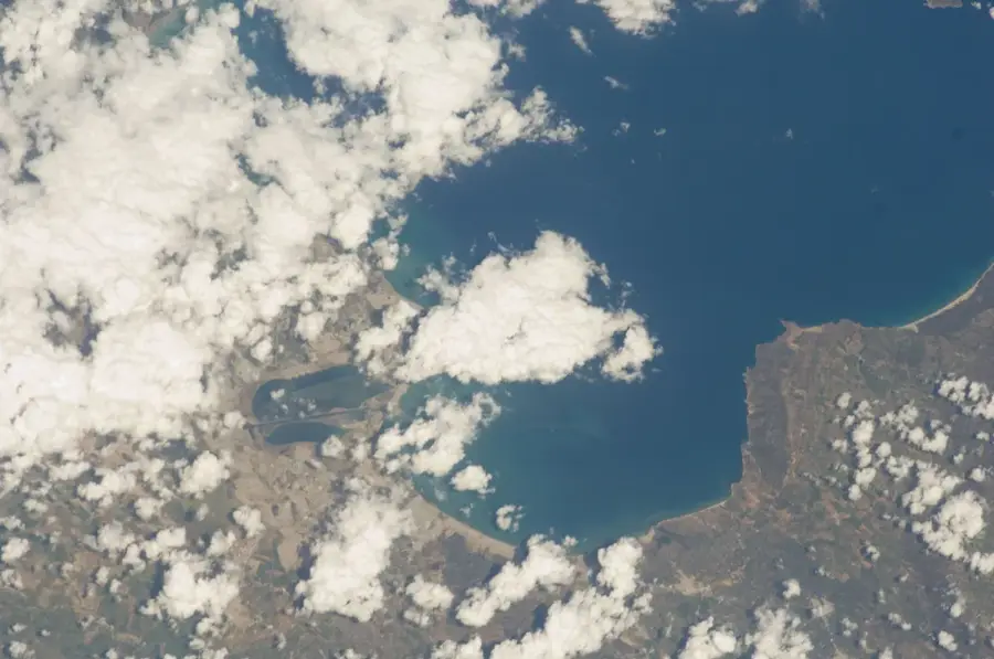
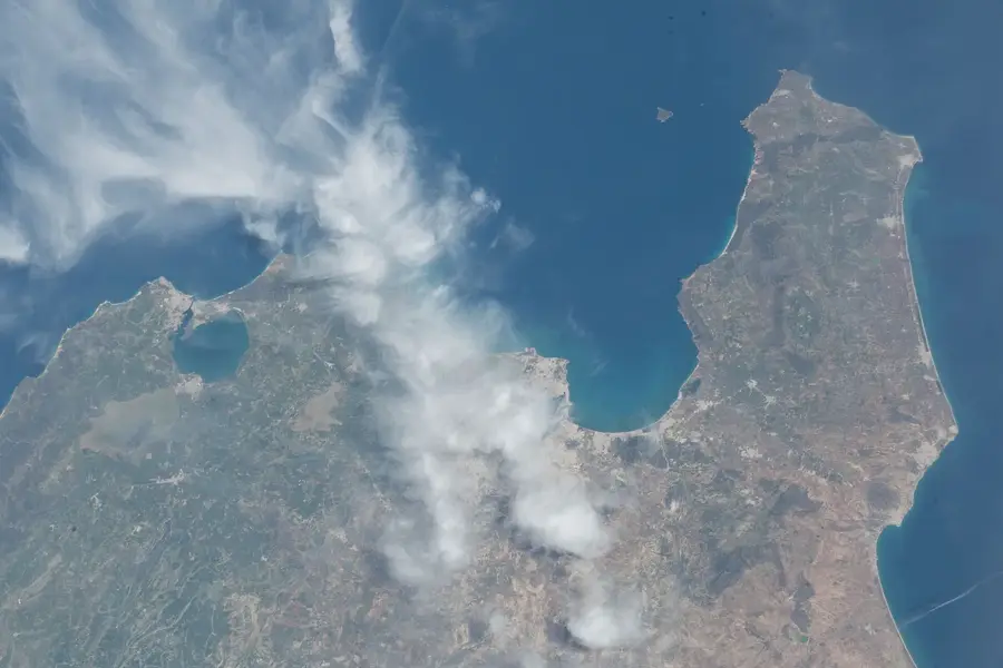
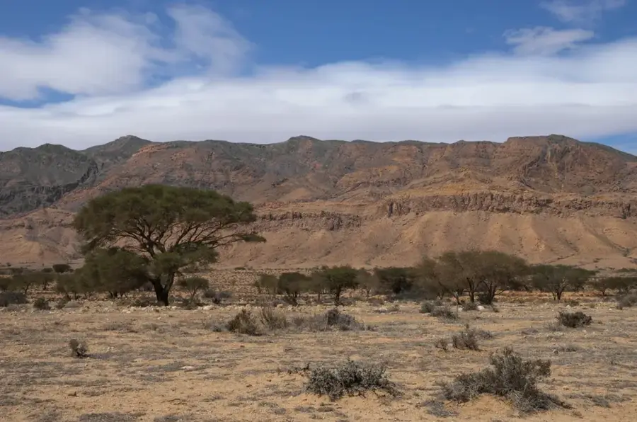
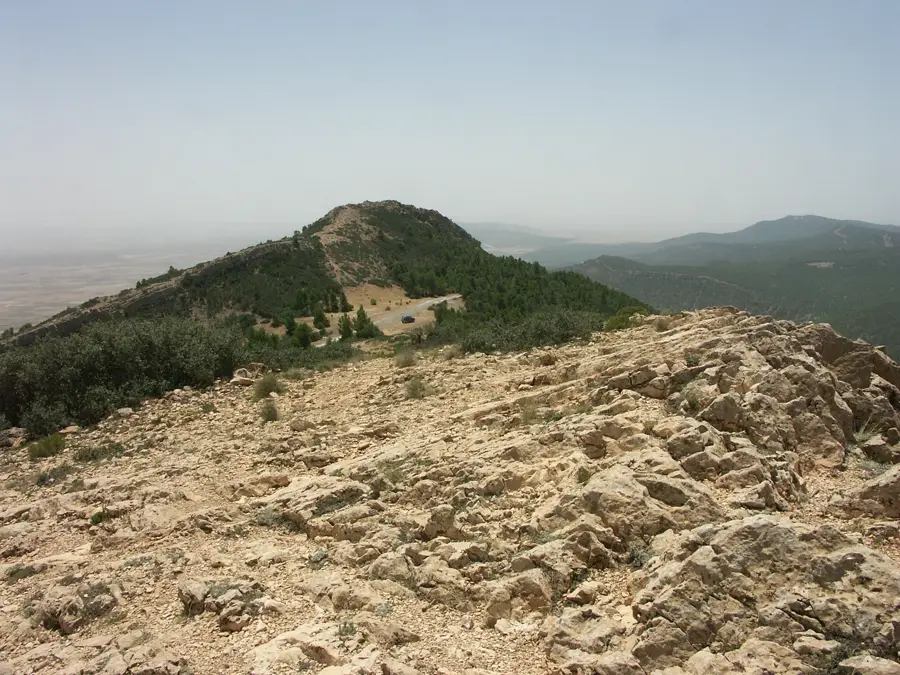
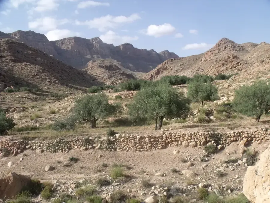
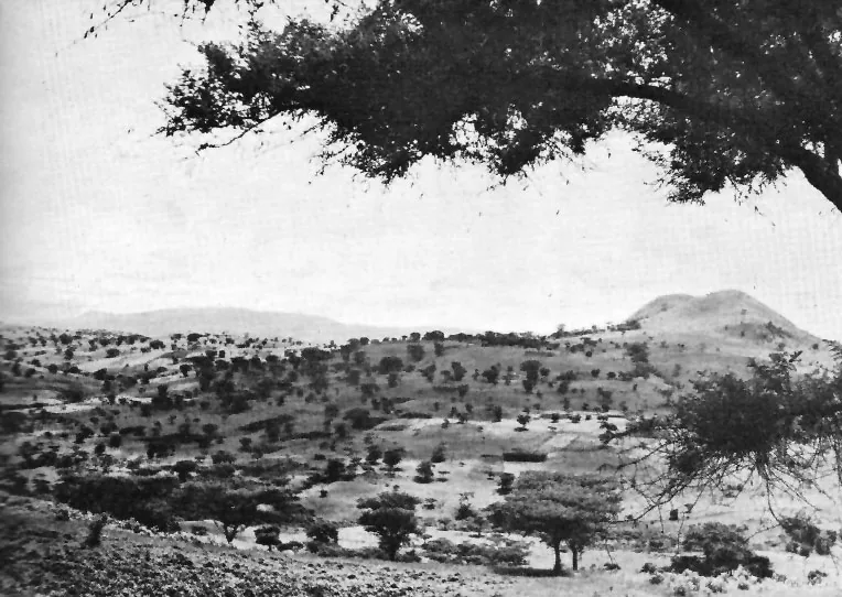
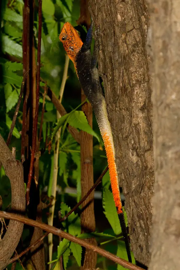
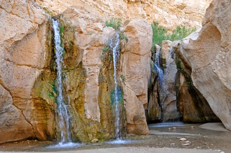
Djebel Orbata is a prominent mountain massif located in southwestern Tunisia, situated east of the city of Gafsa. Reaching a maximum elevation of 1,165 meters, it is part of the Tunisian Atlas range. The area was designated as a national park in 2010 to protect the fragile desert ecosystem and steppe landscapes. Its flora is dominated by Aleppo pines and esparto grass, while the fauna includes rare species such as the Barbary sheep and Cuvier's gazelle. Geologically, the massif consists of Cretaceous sedimentary rocks shaped by erosion into rugged valleys and steep slopes. The park plays a vital role in combating desertification and serves as a sanctuary for endangered North African wildlife species. Historically, the region was an important landmark for caravan routes across the arid interior.
- Location: Tunisia
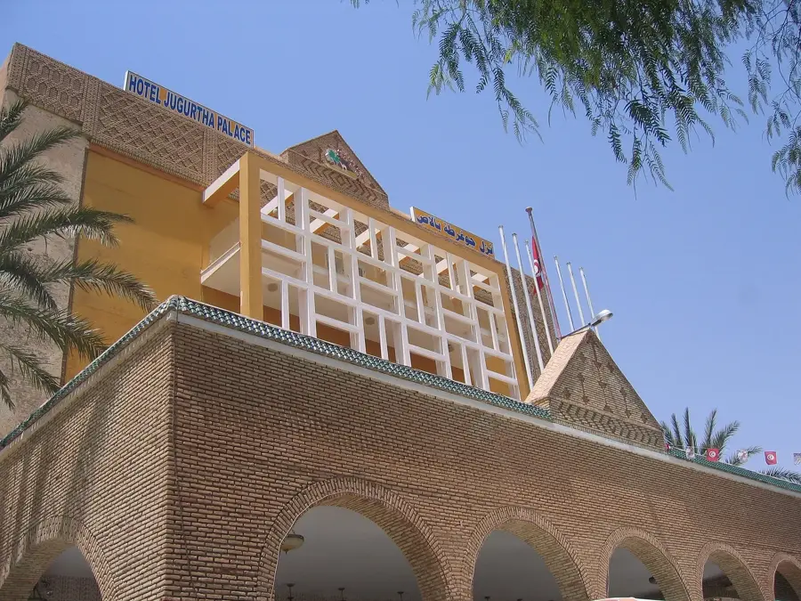
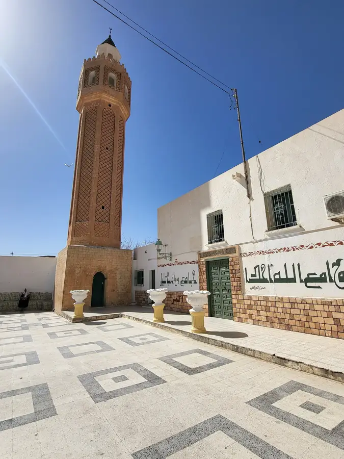
- Top sights: Ettarmil · Elborj · Borg Gafsa
- Nearby: Métlaoui (37 km)
Best time to visit & climate
The most pleasant time to visit is Apr, May, Oct.
| Jan | Feb | Mar | Apr | May | Jun | Jul | Aug | Sep | Oct | Nov | Dec | |
|---|---|---|---|---|---|---|---|---|---|---|---|---|
| Avg °C | 8 | 9 | 13 | 18 | 22 | 27 | 30 | 30 | 25 | 21 | 14 | 9 |
| Rain mm | 20 | 13 | 21 | 20 | 15 | 6 | 3 | 8 | 21 | 18 | 21 | 22 |
📋 Practical info
Geography
Facts
- The highest peak of Djebel Orbata reaches an elevation of 1,165 meters.
- The national park was established by decree on March 29, 2010.
- The protected territory covers a total area of 5,746 hectares.
- The Barbary sheep is one of the key protected animal species in the park.
- Aleppo pine forests cover large sections of the mountain's upper slopes.
- The park is located approximately 15 kilometers east of the city of Gafsa.
Explore nearby
Notable places around
Route planner — Car & Motorhome
Where do you start? We build the route here, with stops and country notes along the way.
© OpenStreetMap contributors · OpenRouteService
Sights in the town Djebel Orbata (3)
Sights nearby
Frequently asked questions
What is special about Jebel Orbata?
Is the place good for photography?
What is the climate like there?
Are there guided tours?
Is the area very remote?
Djebel Orbata: where is it located?
Djebel Orbata: what is there to see?
Djebel Orbata: when is the best time to visit?
Djebel Orbata: why is it worth visiting?

Nearby cities
More places