Plizio Visual Lab
Gambela
ℹ️Practical info — Gambela
▾
🌤 Weather — 5 days
📍 Nearby
Sights nearby
💡 Tips
- The Baro River bridge area is busiest in the morning; visit early for local trade and river activities.
- Temperatures can be very high year-round; plan your explorations for the early morning or late afternoon.
- ATMs are limited; carry enough cash (Ethiopian Birr) for your stay.
- Try to negotiate prices politely at the local markets, but remain respectful of local economic conditions.
- Bugs can be an issue near the river; bring strong mosquito repellent.
🍽 Food
Look for small riverside eateries serving freshly caught fish from the Baro River, often grilled or fried.
The traditional Ethiopian sourdough flatbread is served at most local restaurants in the town center, accompanied by spicy stews.
Enjoy traditional coffee ceremonies at small cafes near the main market area.
🛍 Shopping · 🧘 Quiet spots
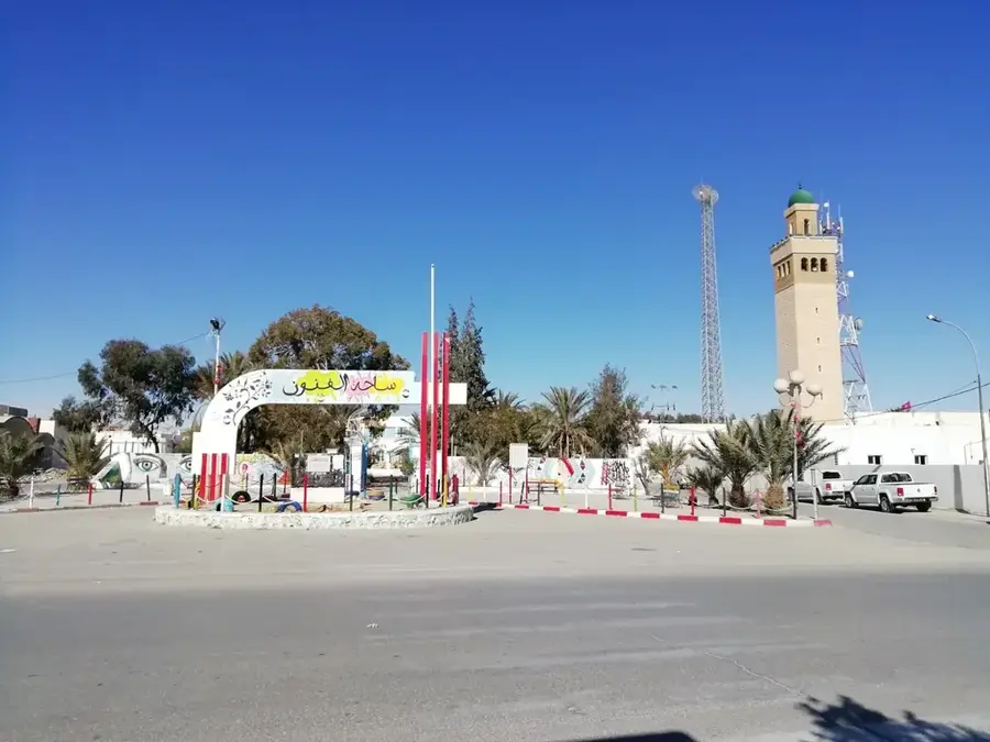
A bustling open-air market where you can find local produce, spices, and everyday goods.
Woven baskets made by local artisans are available at handicraft stalls in the town center.
Walk along the quieter sections of the river in the late afternoon to enjoy the sunset and spot local birdlife.
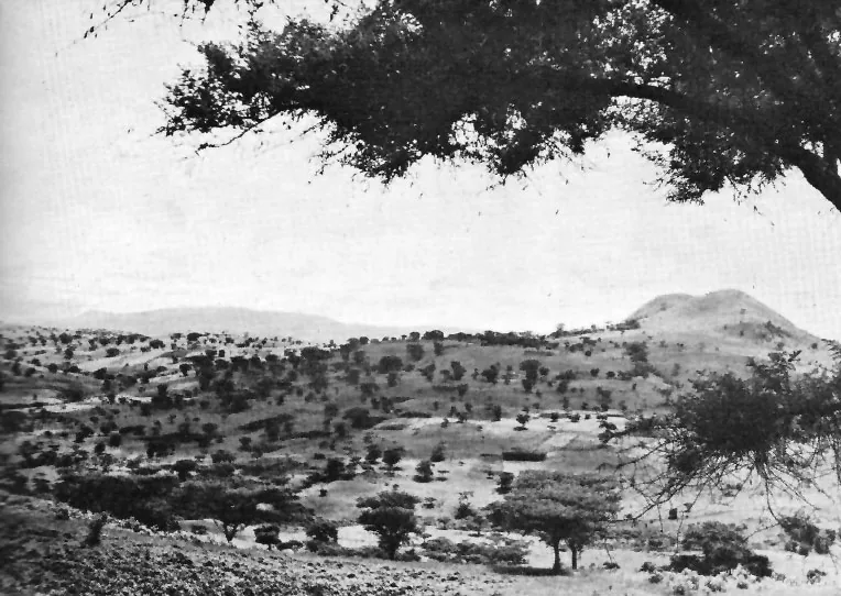
While requiring a guide, the edges of the nearby national park offer vast open savannah landscapes.
Water temperature…
Gambela is a unique urban center in western Ethiopia, serving as the administrative capital of the Gambela Region. Situated on the banks of the Baro River, it lies at an elevation of only 526 meters, resulting in a hot, humid tropical climate that stands in stark contrast to the temperate Ethiopian highlands. The city's history is notably defined by its 20th-century role as a strategic inland port. In 1902, Emperor Menelik II granted a concession to the British to establish a river port here, connecting Ethiopia to the Nile system via the Baro and Sobat rivers. For decades, Gambela was a bustling trade hub where steamships from Khartoum arrived to collect Ethiopian coffee and wax. This British enclave status persisted until 1956. Culturally, the city is a melting pot of Nilotic ethnic groups, primarily the Anuak and Nuer, whose traditions and livelihoods are centered around the river and cattle herding. The Anuak are historically sedentary farmers and fishers, while the Nuer are traditionally pastoralists. In recent years, Gambela has seen significant expansion due to large-scale agricultural investments and its role as a humanitarian hub for South Sudanese refugees. The regional government has focused on developing urban infrastructure, including hospitals and educational institutions, to support the growing population. Geographically, the surrounding plains are home to the Gambela National Park, which protects one of the world's largest migrations of white-eared kob antelopes. The Baro River remains a central feature of city life, used for washing, transportation, and recreation. The city's atmosphere is a mix of frontier energy, traditional Nilotic customs, and modern developmental aspirations. Despite its remote location relative to Addis Ababa, Gambela is increasingly integrated into the national economy through improved road networks and regular flight services, making it a critical gateway to the resources and cultures of the Nile Basin.
- Location: Ethiopia
- Nearby: Dembidolo (35 km)
- Population: ~97.600 (2023)
Geography
Facts
- Gambela is situated at an elevation of 526 meters (1,726 feet).
- The Baro River port was established following a 1902 treaty.
- Steamship traffic to Khartoum took about 7 to 11 days during high water.
- The city serves as the capital of the Gambela Peoples' Region.
- The region is known for large-scale commercial rice and sugarcane farming.
- Gambela National Park is located just west of the city limits.
- The Baro bridge, built in the late 20th century, is a vital link.
- The city experiences a long rainy season from May to October.
Explore nearby
Notable places around
Route planner — Car & Motorhome
Where do you start? We build the route here, with stops and country notes along the way.
© OpenStreetMap contributors · OpenRouteService
Sights in the town Gambela (1)
Frequently asked questions
What is special about Gambela?
What is the climate like in Gambela?
Which national park is nearby?
What can you do at the Baro River?
Are there direct flights?
Gambela: where is it located?
Gambela: why is it worth visiting?

Nearby cities
Nature
More places