Plizio Visual Lab
Djebel Om el Adame
Weather…
Water temperature…
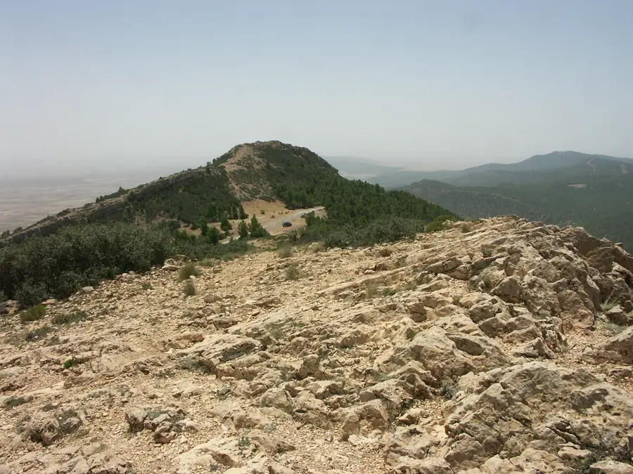
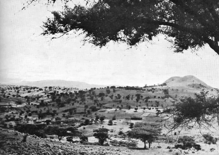
Djebel Om el Adame is a mountain massif in south-central Tunisia, located within the Gafsa Governorate. Standing at an elevation of approximately 737 meters, it belongs to the mountain ranges that separate the Chott el Djerid basin from the northern plateaus. The landscape is defined by extreme aridity and spectacular geological layering, exposed by millions of years of erosion. Vegetation is sparse, limited to drought-resistant grasses and desert shrubs. Despite these harsh environmental conditions, the region is of significant geological interest, providing a window into the sedimentary history of North Africa. The area surrounding the mountain is largely uninhabited, contributing to its lonely and majestic atmosphere. Its proximity to the vast salt lakes results in unique light effects and exceptional visibility. Historically, the mountain served as a vital natural landmark for caravan routes connecting the southern oasis towns.
- Location: Tunisia
- Nearby: Fériana (18 km)
Best time to visit & climate
The most pleasant time to visit is May, Jun, Sep.
| Jan | Feb | Mar | Apr | May | Jun | Jul | Aug | Sep | Oct | Nov | Dec | |
|---|---|---|---|---|---|---|---|---|---|---|---|---|
| Avg °C | 6 | 7 | 11 | 15 | 19 | 24 | 28 | 27 | 23 | 18 | 11 | 7 |
| Rain mm | 35 | 21 | 40 | 31 | 31 | 19 | 9 | 20 | 38 | 32 | 32 | 35 |
📋 Practical info
Geography
Facts
- The highest point of the massif is 737 meters above sea level.
- It is situated in the Gafsa Governorate in south-central Tunisia.
- The geological structure is dominated by Cretaceous limestones.
- The region receives less than 150 mm of precipitation annually.
- Significant fossil deposits can be found within the sedimentary layers.
- The mountain serves as the northern boundary of the Chott depressions.
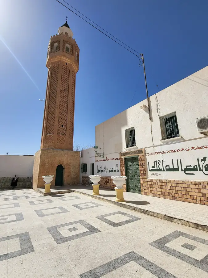
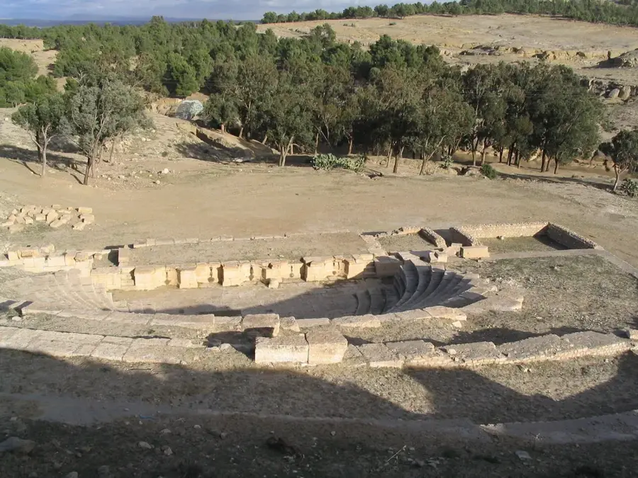
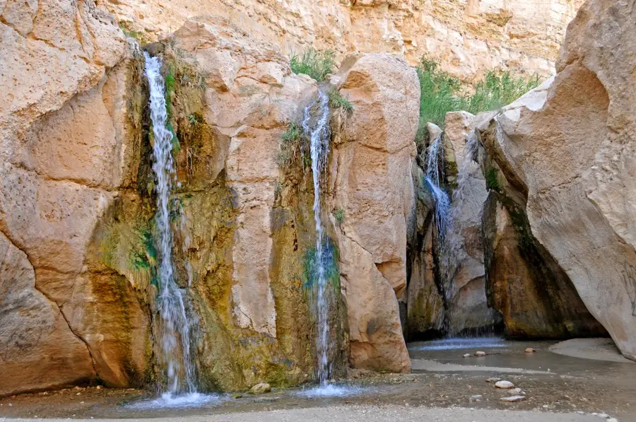
Explore nearby
Notable places around
Route planner — Car & Motorhome
Where do you start? We build the route here, with stops and country notes along the way.
© OpenStreetMap contributors · OpenRouteService
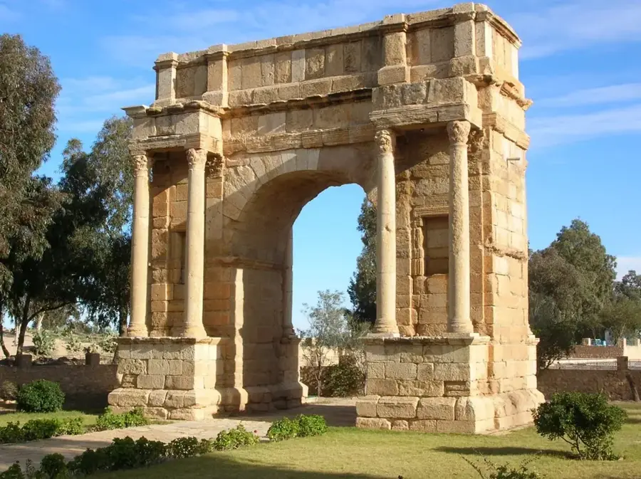
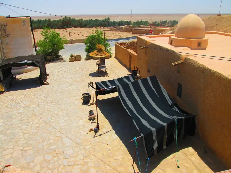
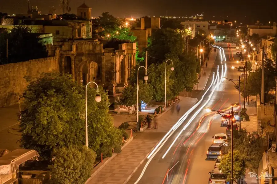
Sights nearby
Frequently asked questions
How well-known is Djebel Om el Adame?
Are there tourist facilities there?
What is important for hikers?
How is the quality of the trails?
Can one hike there alone?
Djebel Om el Adame: where is it located?
Djebel Om el Adame: when is the best time to visit?
Djebel Om el Adame: why is it worth visiting?

Nearby cities
More places