Plizio Visual Lab
Dawna Range
Weather…
Water temperature…
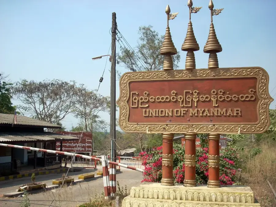
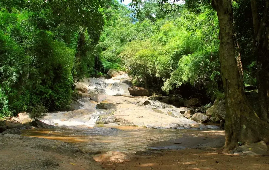
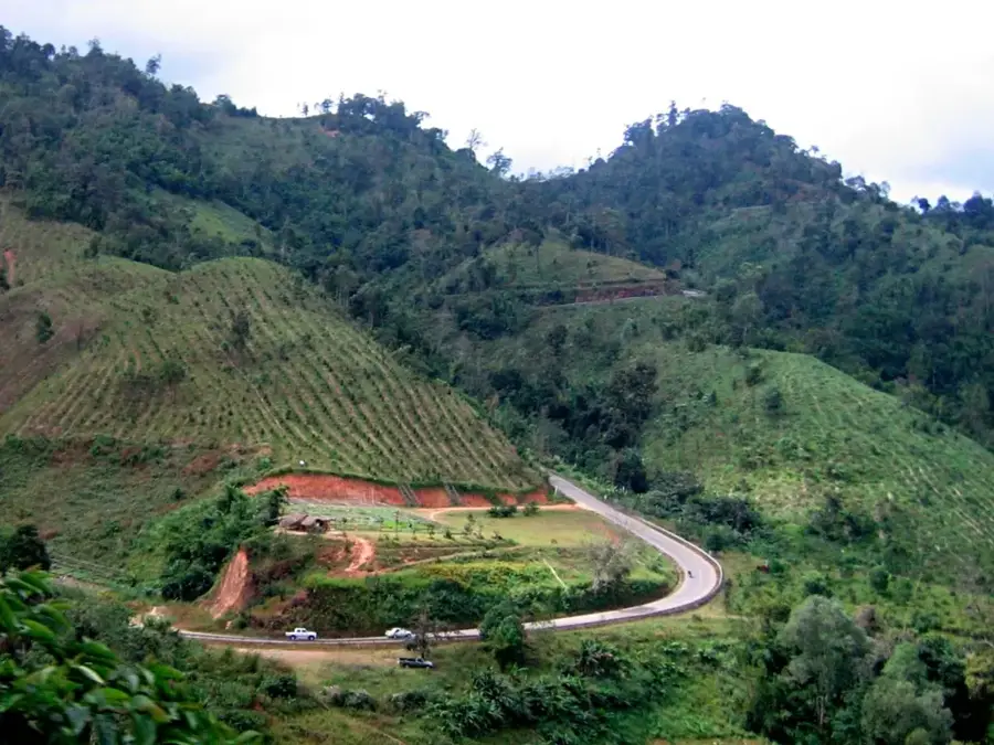
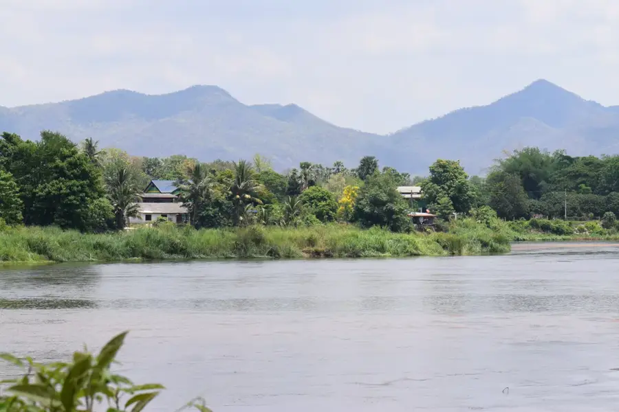
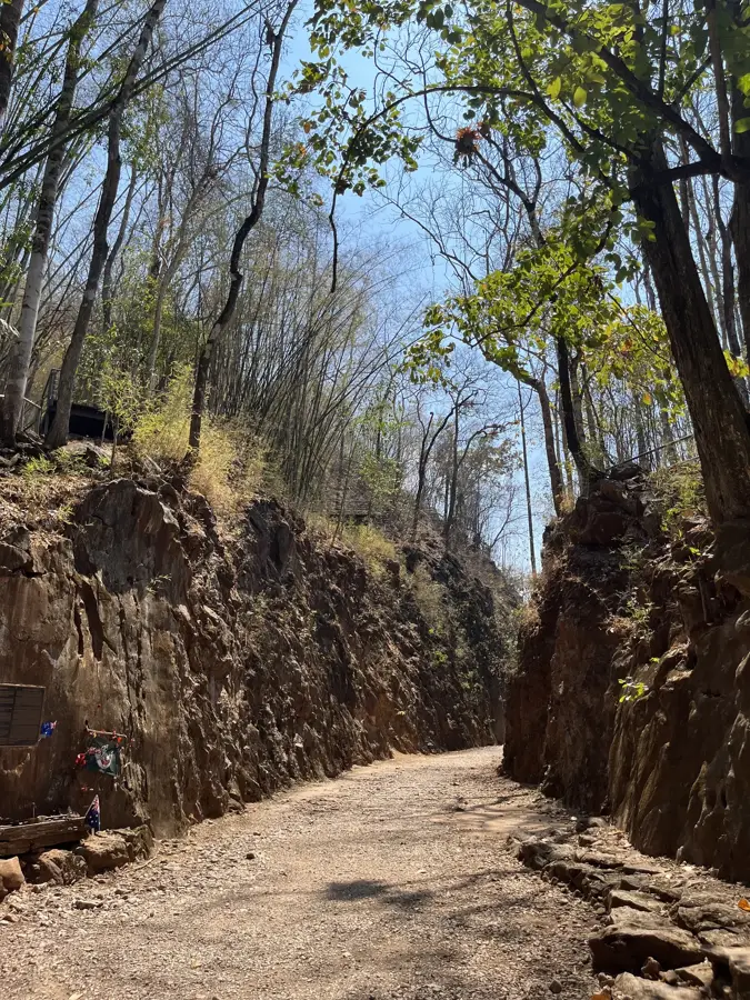
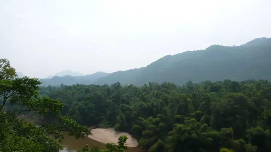
The Dawna Range is an expansive mountain system extending along the border between Thailand and Myanmar, forming part of the broader Shan-Thai Highland. To the east, the range borders the Thai provinces of Tak and Kanchanaburi, while its western slopes descend into Myanmar's Kayin State. Geologically, the range features a complex composition of limestone, granite, and metamorphic rocks, resulting in deep ravines and striking karst formations. The region is of significant strategic importance and is covered by dense tropical montane forests that harbor exceptional biodiversity, including rare avian species and large mammals. Historically, the Dawna Range presented a formidable barrier to trade caravans and military expeditions, with only a few accessible routes like the Three Pagodas Pass allowing for crossing. Today, portions of the range are protected within national parks and play a vital role in transboundary conservation efforts. The cultural landscape is equally diverse, as various ethnic groups, most notably the Karen people, inhabit the range's secluded valleys.
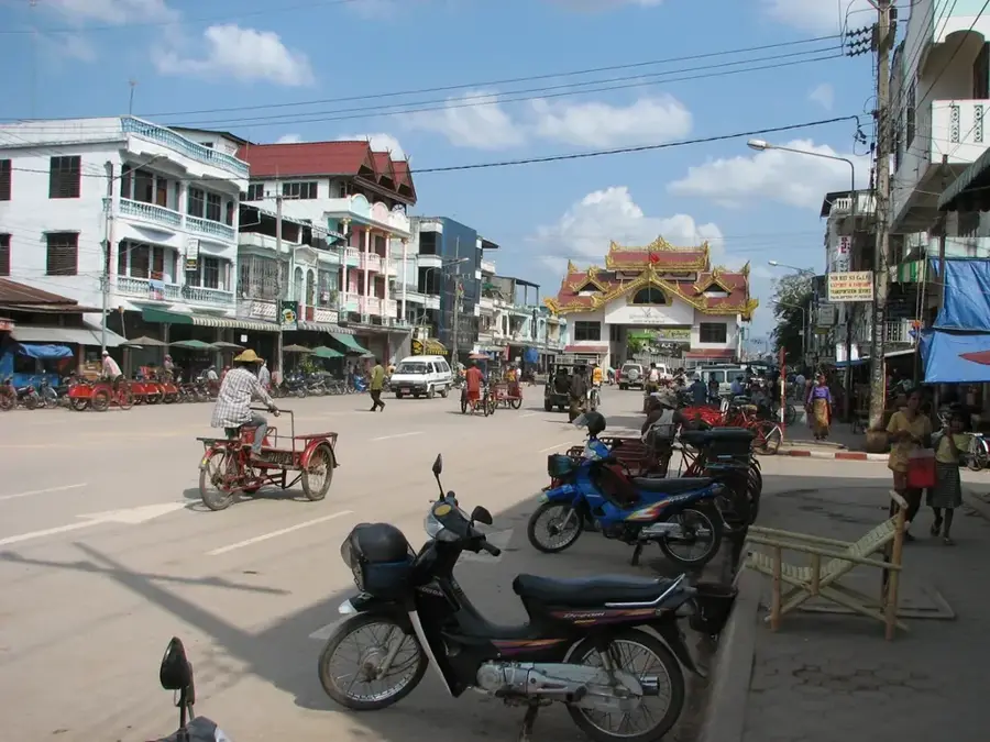
- Location: Thailand
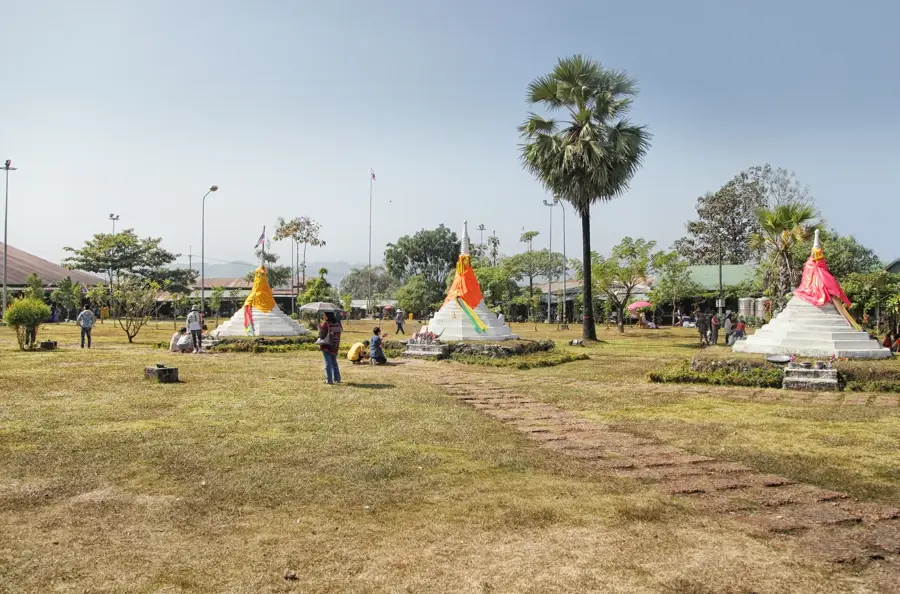
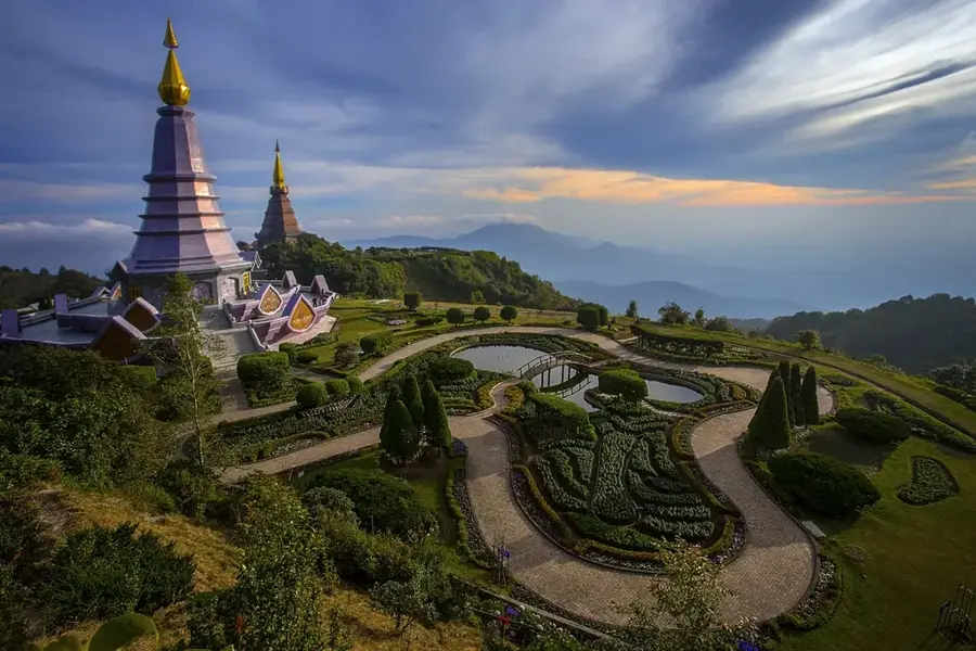
- Top sights: ၀မ္းဖာဂိတ္ · ေရႊကုကၠိဳ · Phra That Doi Din Ki (Hin Kio)
- Nearby: Sangkhla Buri (27 km)
Best time to visit & climate
The most pleasant time to visit is Jan, Nov, Dec.
| Jan | Feb | Mar | Apr | May | Jun | Jul | Aug | Sep | Oct | Nov | Dec | |
|---|---|---|---|---|---|---|---|---|---|---|---|---|
| Avg °C | 21 | 24 | 26 | 28 | 26 | 25 | 24 | 24 | 24 | 24 | 22 | 20 |
| Rain mm | 11 | 5 | 30 | 55 | 189 | 183 | 189 | 203 | 247 | 159 | 26 | 8 |
📋 Practical info
Geography
Facts
- The highest elevation in the range is Mula-yin Peak at 2,080 meters.
- The mountain range spans a total length of approximately 350 kilometers.
- The Dawna Range serves as the divide between the Salween and Chao Phraya basins.
- The historic Three Pagodas Pass is located at the range's southern terminus.
- Large sections of the range are composed of Paleozoic limestone formations.
- The range is a habitat for wild elephants and rare Indochinese tigers.
Explore nearby
Notable places around
Route planner — Car & Motorhome
Where do you start? We build the route here, with stops and country notes along the way.
© OpenStreetMap contributors · OpenRouteService
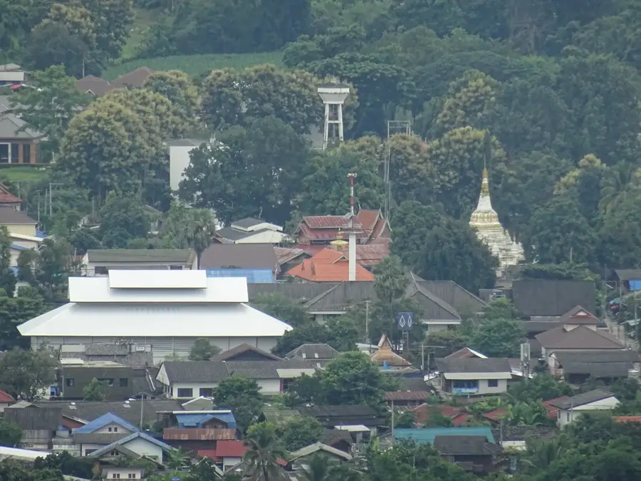
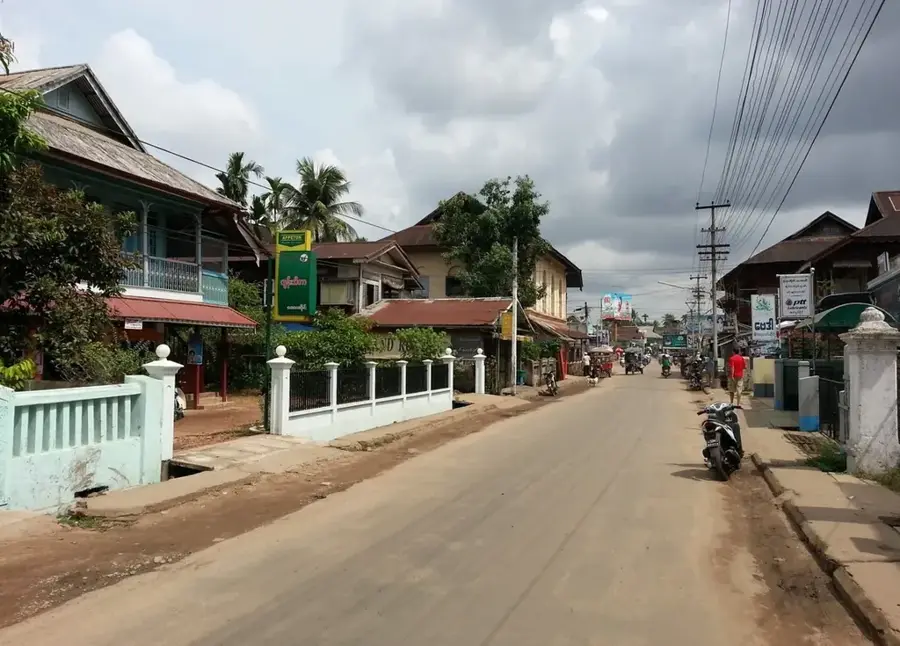
Sights in the town Dawna Range (3)
Sights nearby
Frequently asked questions
What is the Dawna Range?
Can one hike there?
Is the region easily accessible?
When is the best time to visit?
Do you need a visa?
Dawna Range: where is it located?
Dawna Range: what is there to see?
Dawna Range: when is the best time to visit?
Dawna Range: why is it worth visiting?

Nearby cities
History & landmarks
Nature
More places