Plizio Visual Lab
Tenasserim Coast

Weather…
Water temperature…
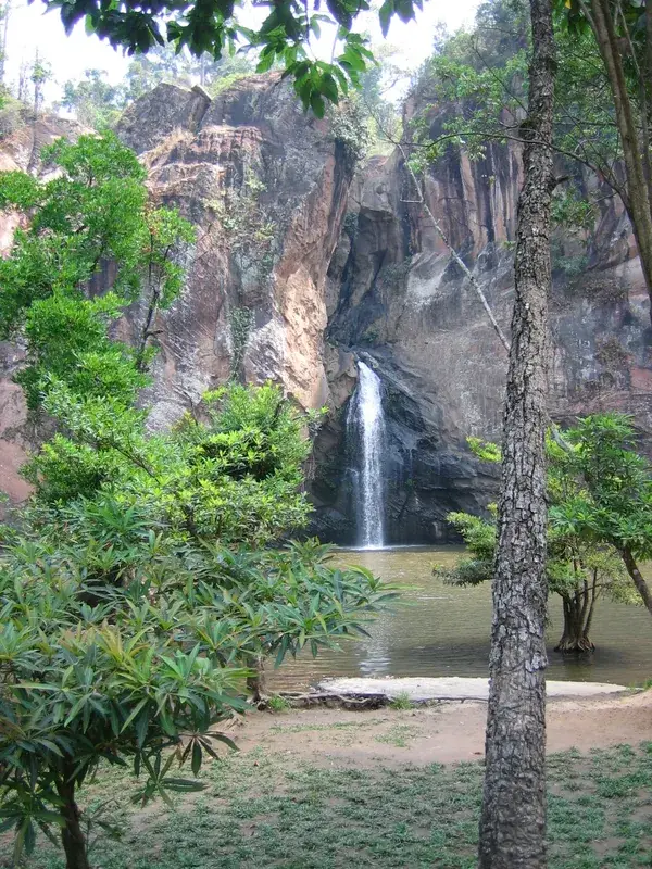
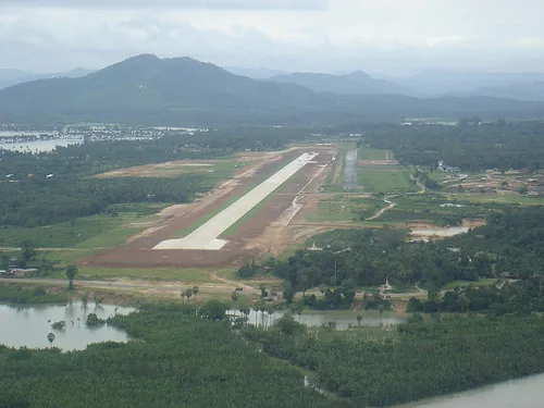
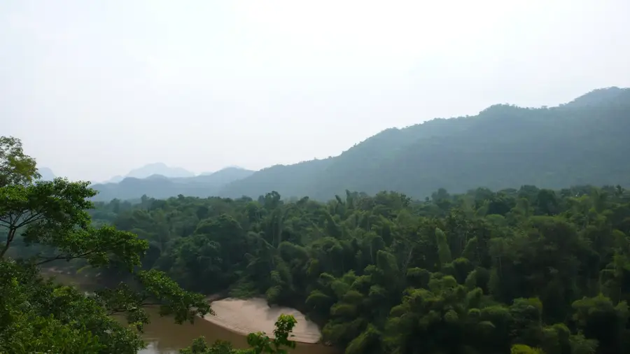
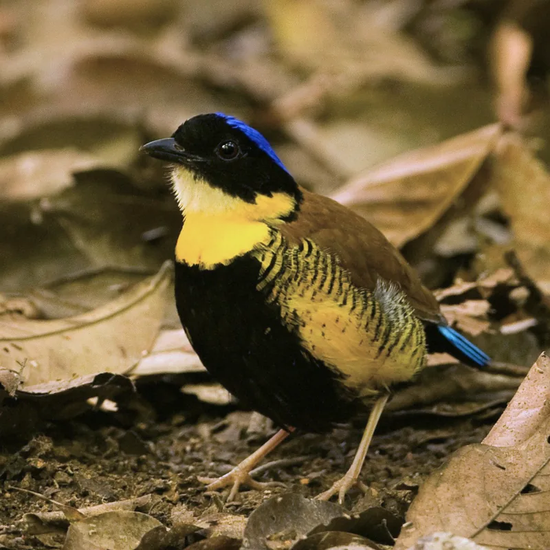
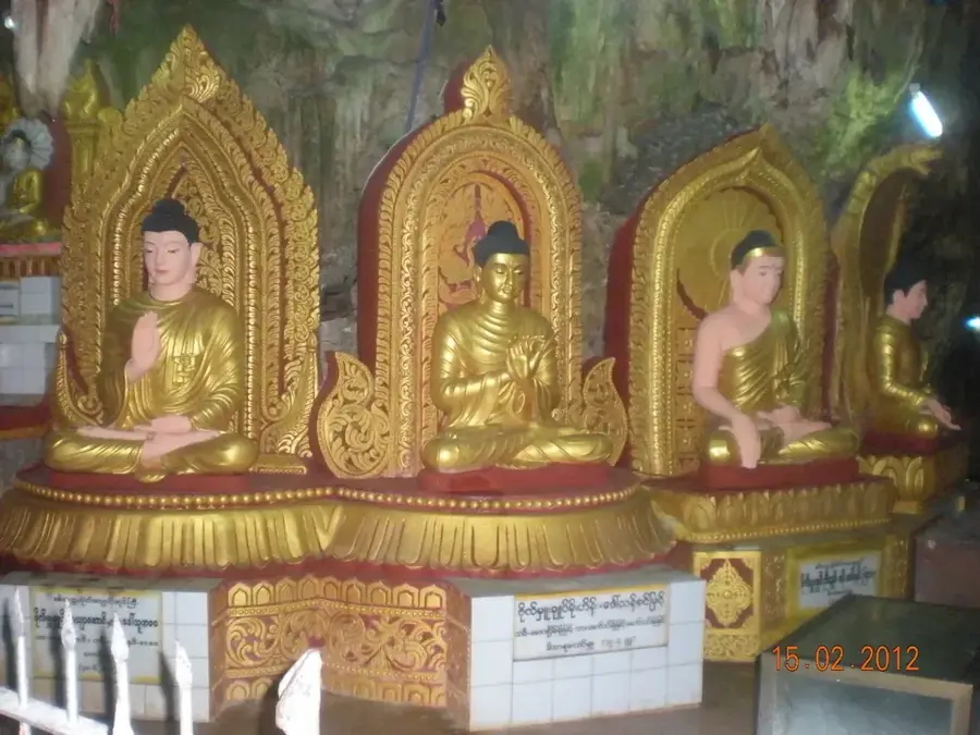
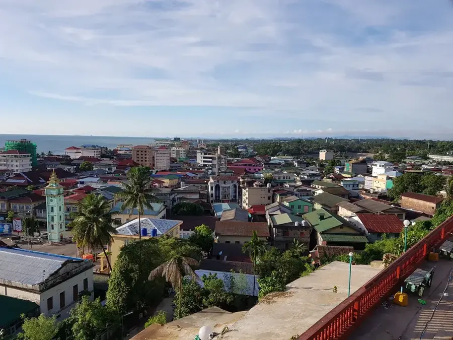
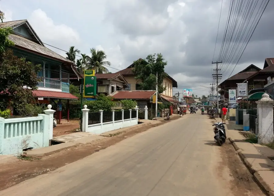
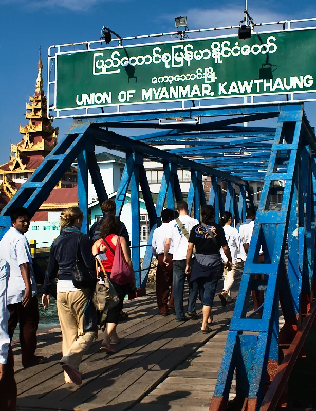
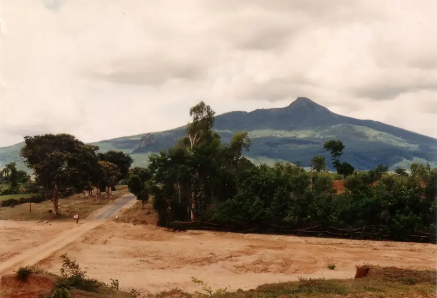
The Tenasserim Coast, now officially known as the Tanintharyi Coast, forms the southernmost part of Myanmar, stretching along the Andaman Sea to the border with Thailand. This region is characterized by a spectacular landscape consisting of hundreds of islands in the Mergui Archipelago, deep blue bays, and dense coastal rainforests. The coast was historically a major trade route for ships traveling between India and China and was controlled over the centuries by the Burmese, Siamese, and British. Economically, the region relies on fishing, pearl farming, and the cultivation of rubber and palm oil. A unique feature of the region is the Moken people, also known as sea nomads, who traditionally live on boats and possess extraordinary diving skills. The coastal city of Dawei is gaining strategic importance due to the planned Dawei Special Economic Zone project, which aims to create a direct land link to the Gulf of Thailand. Despite increasing development, much of the Tenasserim Coast remains an untouched natural paradise due to its remoteness and rich marine biodiversity.
- Location: Myanmar (Burma)
- Nearby: Macleod Island (6 km)
Best time to visit & climate
The most pleasant time to visit is Jan, Feb, Dec.
| Jan | Feb | Mar | Apr | May | Jun | Jul | Aug | Sep | Oct | Nov | Dec | |
|---|---|---|---|---|---|---|---|---|---|---|---|---|
| Avg °C | 27 | 28 | 28 | 29 | 29 | 28 | 28 | 27 | 27 | 28 | 28 | 27 |
| Rain mm | 37 | 16 | 55 | 65 | 177 | 210 | 234 | 210 | 223 | 275 | 111 | 26 |
📋 Practical info
Geography
Facts
- The Mergui Archipelago offshore comprises more than 800 islands.
- The Dawei region is known for its centuries-old tradition of pottery.
- Myeik (Mergui) was a major port for the East India Company in the 17th century.
- The coast hosts the Lampi Marine National Park, the first of its kind in Myanmar.
- Rubber plantations were first introduced here during the British colonial era.
- The Moken people can constrict their pupils underwater to see more clearly.
Explore nearby
Notable places around
Route planner — Car & Motorhome
Where do you start? We build the route here, with stops and country notes along the way.
© OpenStreetMap contributors · OpenRouteService
Sights nearby
Frequently asked questions
Is the Tenasserim coast developed for tourists?
Are there islands there?
What is the sea like there?
What are the biggest dangers?
Is the water warm all year round?
Tenasserim Coast: where is it located?
Tenasserim Coast: when is the best time to visit?
Tenasserim Coast: why is it worth visiting?

Nearby cities

History & landmarks
More places