Plizio Visual Lab
Doi Inthanon Summit
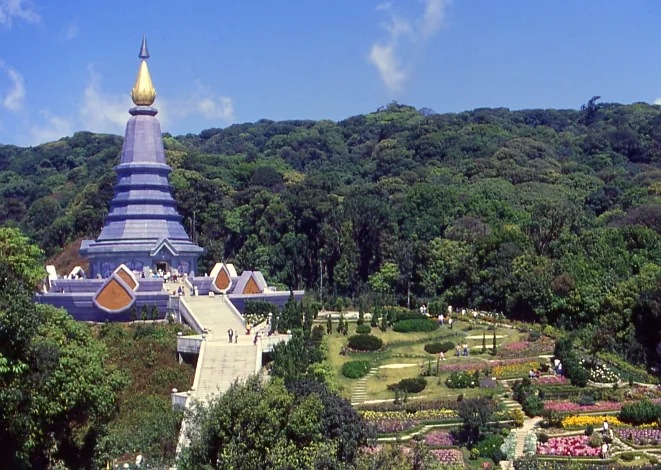
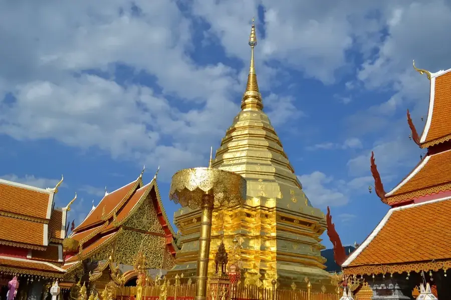
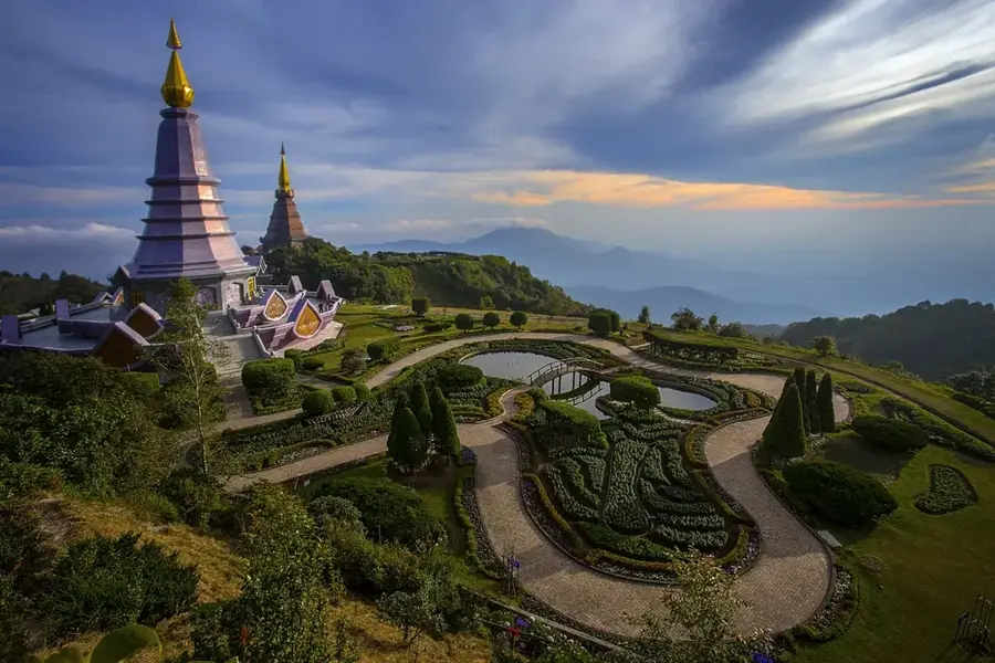
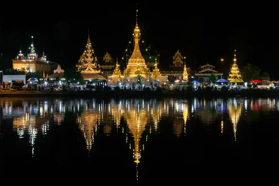
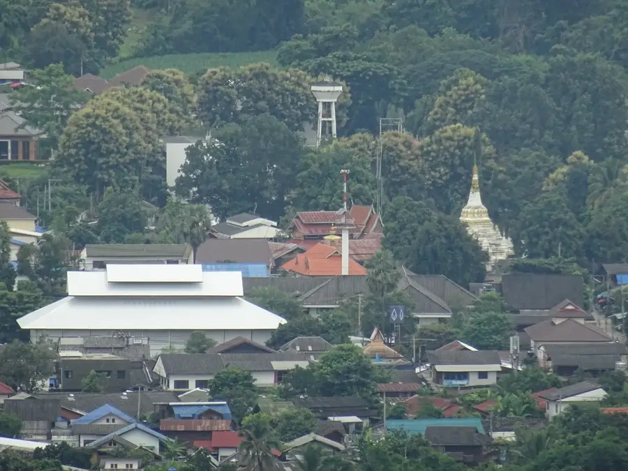
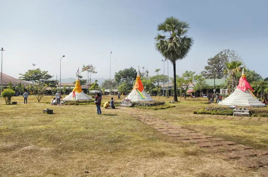
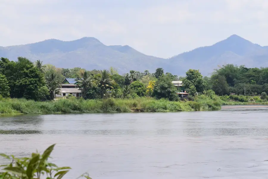
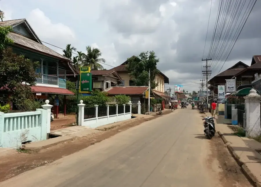
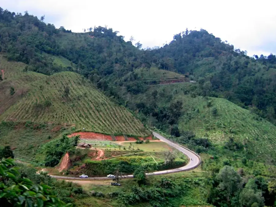
Doi Inthanon Summit is a remarkable feature of the geography and culture of Thailand. The highest point in Thailand, located in Doi Inthanon National Park. The summit is covered in forest and hosts a memorial to the last king of Chiang Mai. The elevation is 2,565 meters. Temperatures can drop near freezing in the cool season. A short nature trail goes through the summit forest. This landmark is part of the cultural heritage of Thailand, often linked to Buddhist temples, wats and royal architecture. Like many notable places in Thailand, it combines regional character with the legacy of the Chao Phraya, the Mekong and Buddhist tradition. Thus, this place contributes to the diverse profile of Thailand, between the Andaman coast, rice paddies and tropical forests.
- Location: Thailand
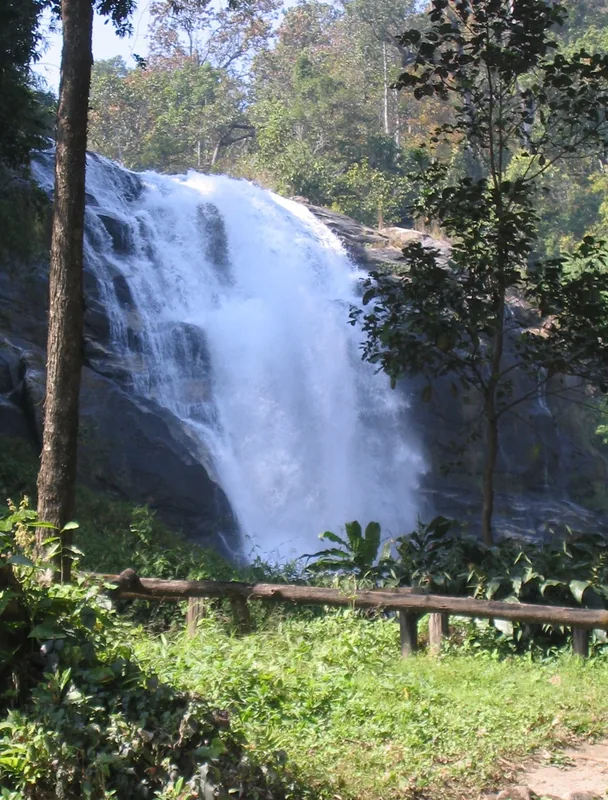
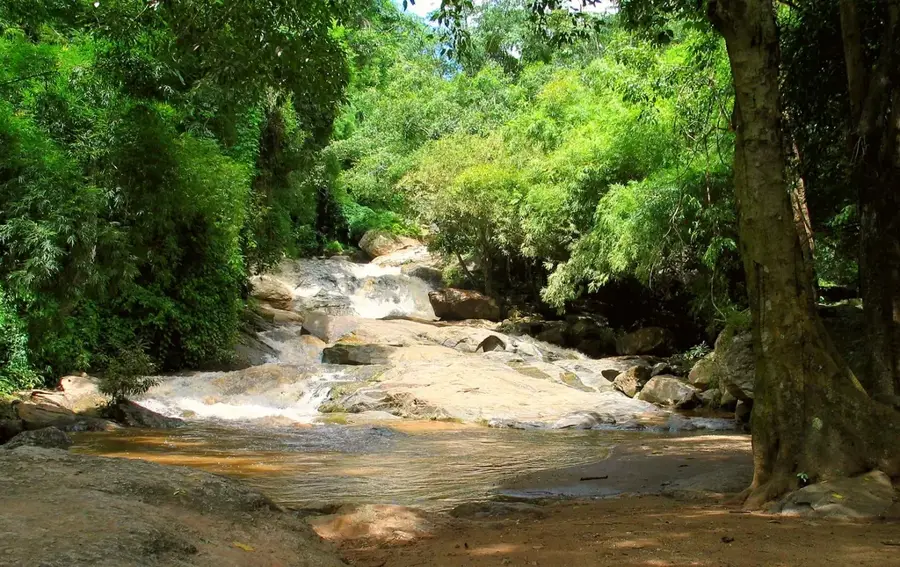
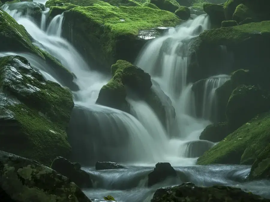
- Top sights: Siribhume Waterfall · Siriphum Waterfall · Waterfall view to East
- Nearby: Pai (13 km)
Best time to visit & climate
The most pleasant time to visit is Jan, Feb, Dec.
| Jan | Feb | Mar | Apr | May | Jun | Jul | Aug | Sep | Oct | Nov | Dec | |
|---|---|---|---|---|---|---|---|---|---|---|---|---|
| Avg °C | 21 | 23 | 26 | 29 | 27 | 26 | 25 | 25 | 24 | 24 | 22 | 20 |
| Rain mm | 15 | 5 | 24 | 60 | 185 | 137 | 157 | 216 | 215 | 126 | 32 | 12 |
📋 Practical info
Geography
Facts
- The highest point in Thailand, located in Doi Inthanon National Park. The summit is covered in forest and hosts a memorial to the last king of Chiang Mai.
- Located within the Kingdom of Thailand.
- Shaped by the monsoon climate of Southeast Asia.
Explore nearby
Notable places around
Route planner — Car & Motorhome
Where do you start? We build the route here, with stops and country notes along the way.
© OpenStreetMap contributors · OpenRouteService
Sights in the town Doi Inthanon Summit (7)
Sights nearby
Frequently asked questions
How is the weather at the summit?
Is there an entrance fee?
Can you drive all the way to the top?
How much time should I plan for?
Are there hiking trails?
Doi Inthanon Summit: where is it located?
Doi Inthanon Summit: what is there to see?
Doi Inthanon Summit: when is the best time to visit?
Doi Inthanon Summit: why is it worth visiting?

Nearby cities
Nature
More places