Plizio Visual Lab
Ping River Valley
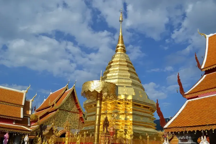
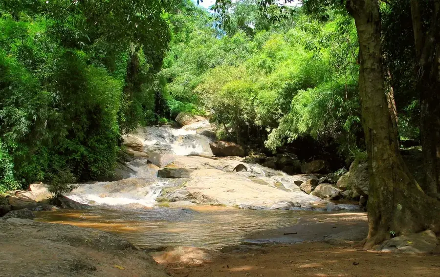
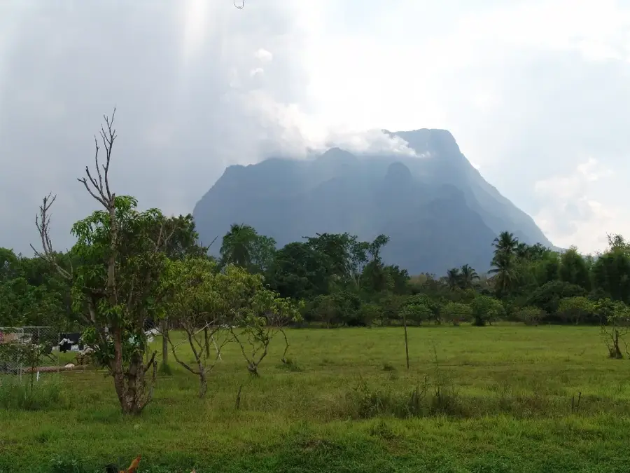
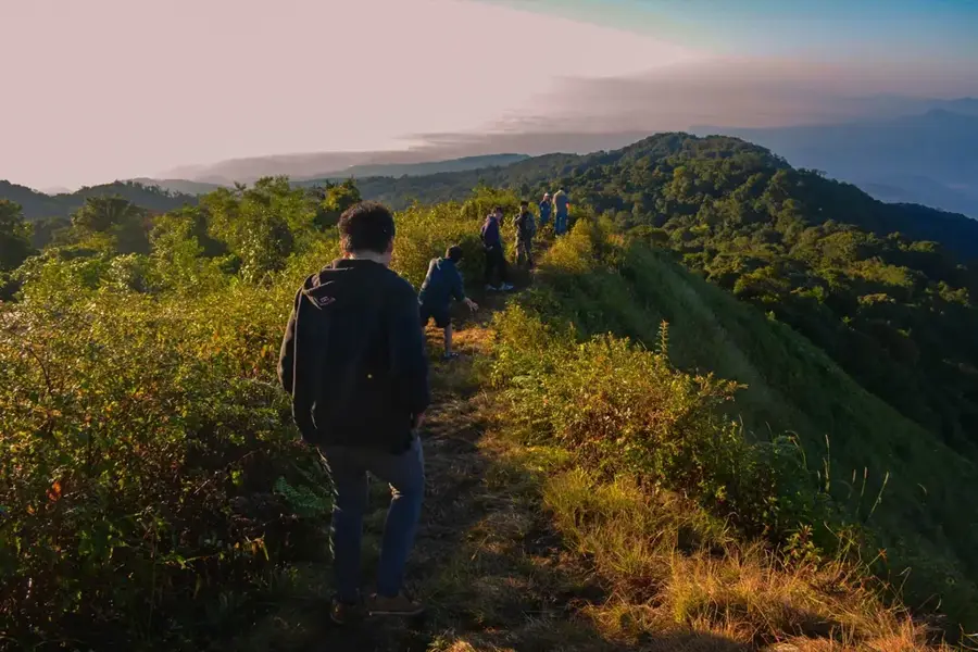
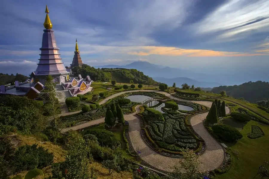
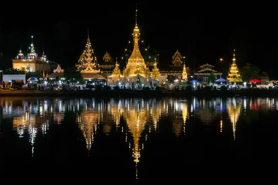
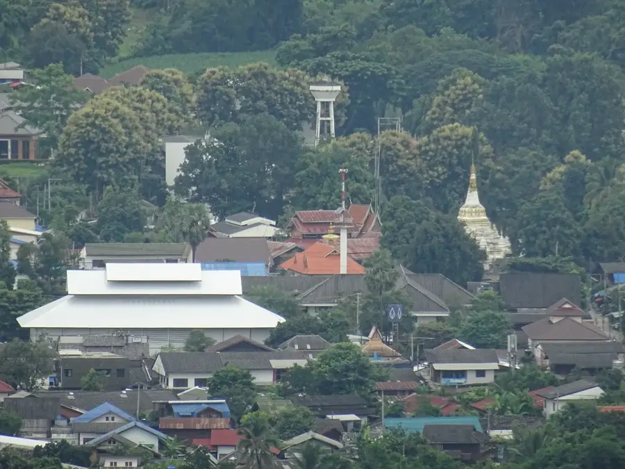
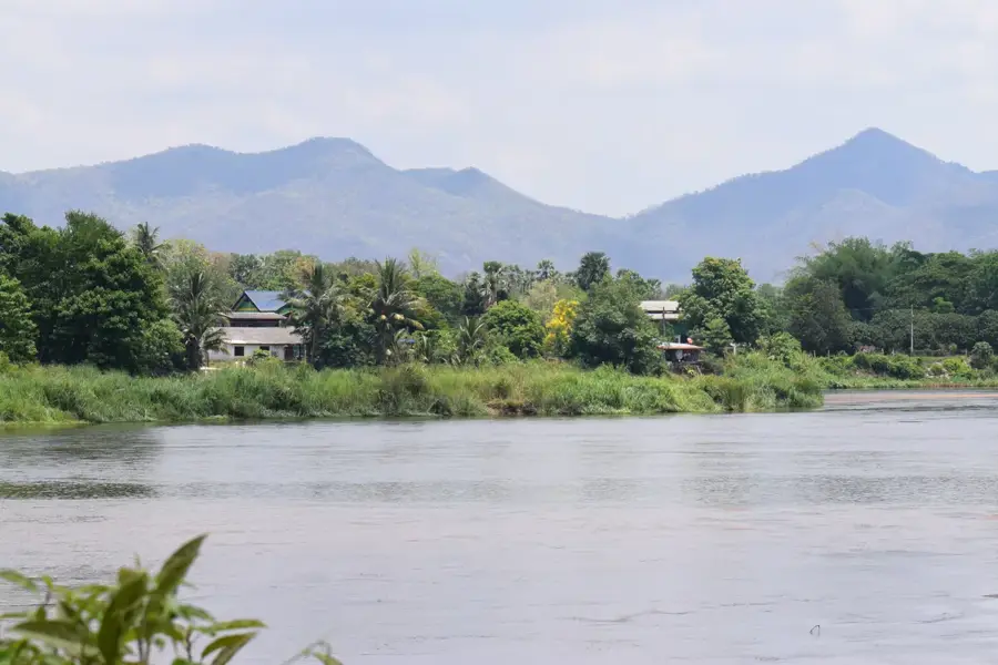
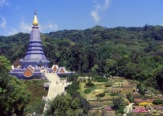
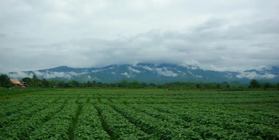
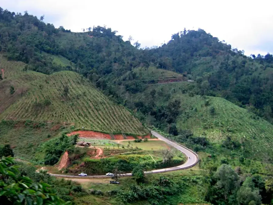
Ping River Valley is a remarkable feature of the geography and culture of Thailand. The valley in which the city of Chiang Mai is located, irrigated by one of the two main headwaters of the Chao Phraya River. The river is over 650 km long. Crucial for agriculture in northern Thailand. Bhumibol Dam, the largest in Thailand, is on the river. This landform shapes the topography of Thailand, from the northern mountains to the coastal plains along the Gulf of Thailand. Like many notable places in Thailand, it combines regional character with the legacy of the Chao Phraya, the Mekong and Buddhist tradition. Thus, this place contributes to the diverse profile of Thailand, between the Andaman coast, rice paddies and tropical forests.
- Location: Thailand
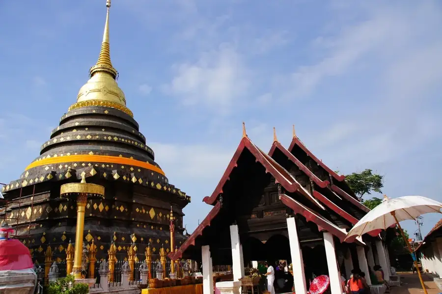
- Top sights: San Pa Koi Mosque · Baan Haw Mosque · Chedi Liam Temple
- Nearby: Tak (36 km)
Best time to visit & climate
The most pleasant time to visit is Jan, Feb, Nov.
| Jan | Feb | Mar | Apr | May | Jun | Jul | Aug | Sep | Oct | Nov | Dec | |
|---|---|---|---|---|---|---|---|---|---|---|---|---|
| Avg °C | 19 | 22 | 25 | 27 | 26 | 25 | 24 | 24 | 24 | 23 | 21 | 19 |
| Rain mm | 15 | 5 | 23 | 63 | 189 | 141 | 178 | 237 | 222 | 123 | 37 | 13 |
📋 Practical info
Geography
Facts
- The valley in which the city of Chiang Mai is located, irrigated by one of the two main headwaters of the Chao Phraya River.
- Located within the Kingdom of Thailand.
- Shaped by the monsoon climate of Southeast Asia.
Explore nearby
Notable places around
Route planner — Car & Motorhome
Where do you start? We build the route here, with stops and country notes along the way.
© OpenStreetMap contributors · OpenRouteService
Sights in the town Ping River Valley (7)
Chiang Mai City Art & Cultural Center🏛 museum
Located in a former royal building, this center showcases the local history and culture.
Sights nearby
Frequently asked questions
Can one travel on the river?
What is the best season?
Are there bike paths by the river?
Is the area family-friendly?
Are there good restaurants?
Ping River Valley: where is it located?
Ping River Valley: what is there to see?
Ping River Valley: when is the best time to visit?
Ping River Valley: why is it worth visiting?

Nearby cities
History & landmarks
Nature
More places