Plizio Visual Lab
Phu Kradueng National Park
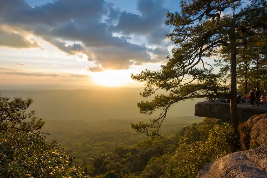
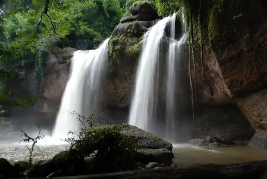
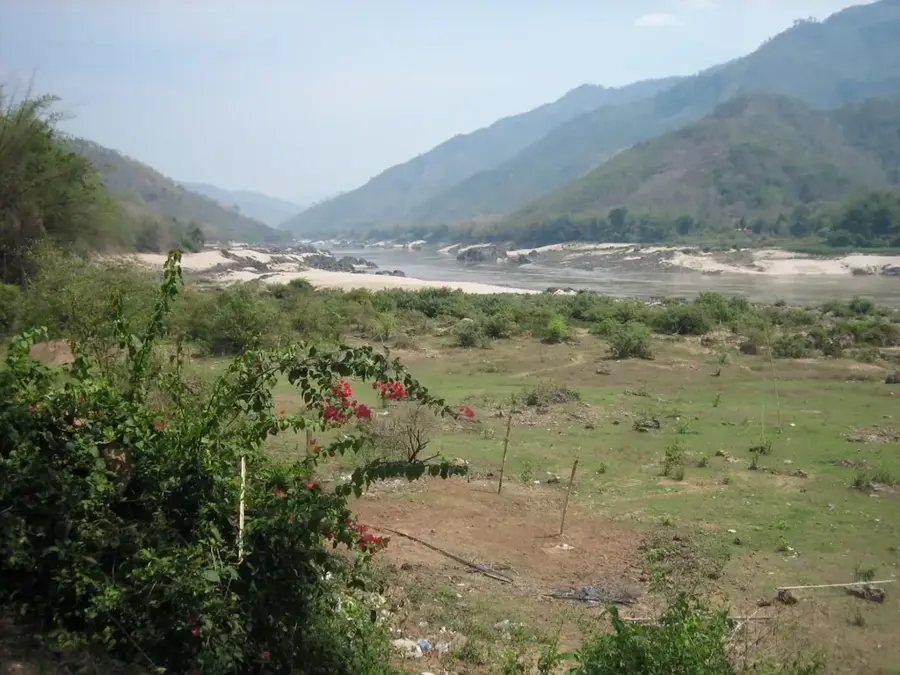
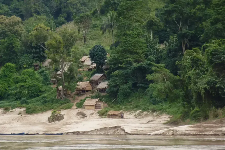
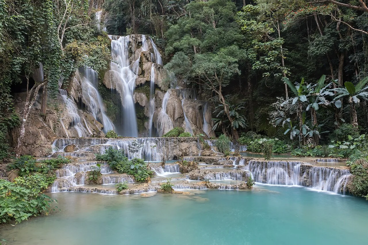
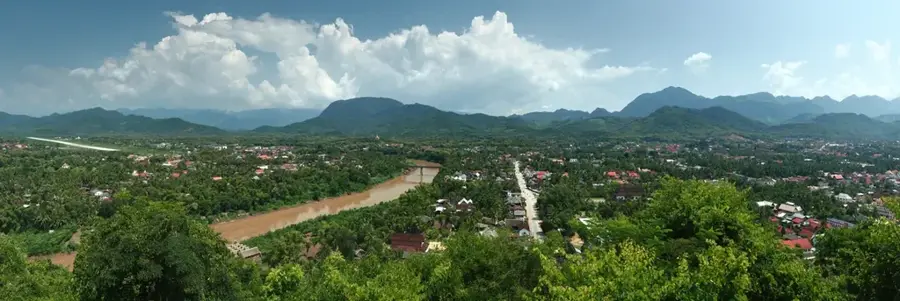
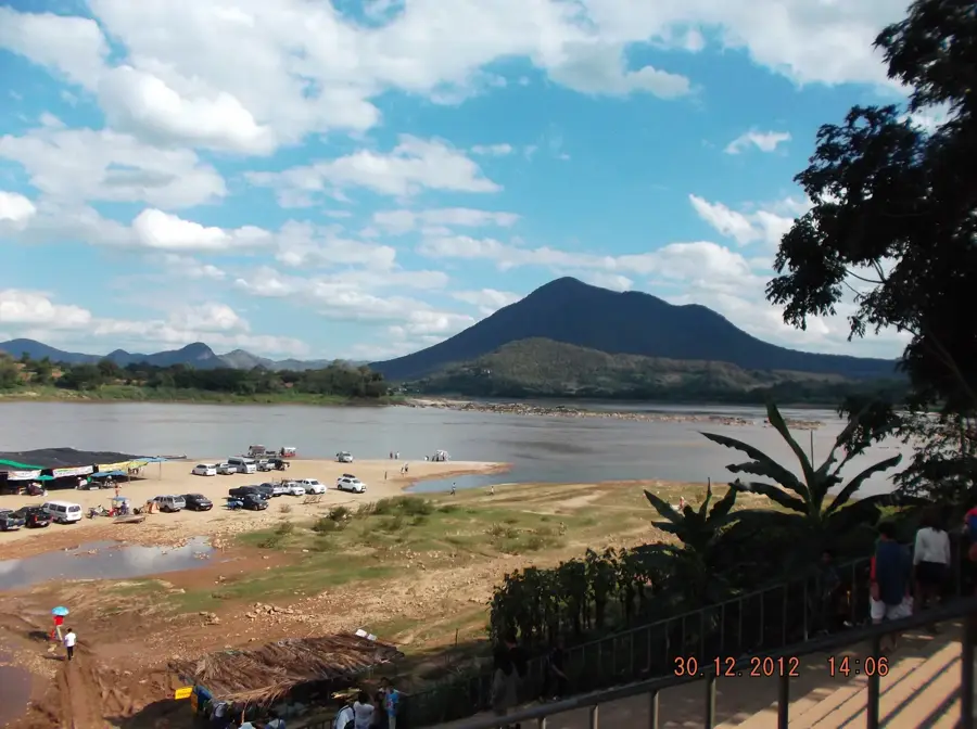
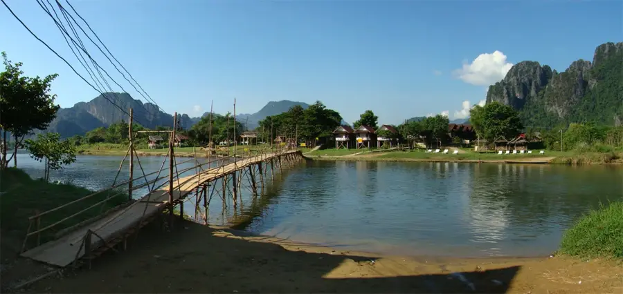
Phu Kradueng National Park is a remarkable feature of the geography and culture of Thailand. A bell-shaped mountain with a vast plateau on top. The climb is a challenge that rewards explorers with a cool, savanna-like landscape unlike anywhere else in Thailand, as if you've landed on another planet. Famous for its challenging 9 km trail to the summit. The plateau is at an elevation of around 1,300 meters. Temperature can drop near freezing during the night. This natural area reflects the scenic diversity of Thailand, from the Mekong basin to the islands of the Andaman Sea. Like many notable places in Thailand, it combines regional character with the legacy of the Chao Phraya, the Mekong and Buddhist tradition. Thus, this place contributes to the diverse profile of Thailand, between the Andaman coast, rice paddies and tropical forests.
- Location: Thailand
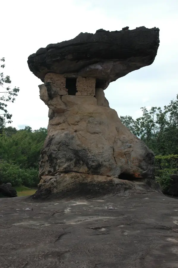
- Top sights: Mak Dook Cliff · Phu Kradueng · Nok Aen Cliff
- Nearby: Nakhon Ratchasima (50 km)
Best time to visit & climate
The most pleasant time to visit is Jan, Nov, Dec.
| Jan | Feb | Mar | Apr | May | Jun | Jul | Aug | Sep | Oct | Nov | Dec | |
|---|---|---|---|---|---|---|---|---|---|---|---|---|
| Avg °C | 21 | 24 | 27 | 29 | 28 | 27 | 26 | 26 | 25 | 24 | 22 | 20 |
| Rain mm | 8 | 16 | 40 | 79 | 172 | 154 | 167 | 219 | 229 | 106 | 18 | 7 |
📋 Practical info
Geography
Facts
- A bell-shaped mountain with a vast plateau on top. The climb is a challenge that rewards explorers with a cool, savanna-like landscape unlike anywhere else in Thailand, as if you've landed on another planet.
- Located within the Kingdom of Thailand.
- Shaped by the monsoon climate of Southeast Asia.
Explore nearby
Notable places around
Route planner — Car & Motorhome
Where do you start? We build the route here, with stops and country notes along the way.
© OpenStreetMap contributors · OpenRouteService
Sights in the town Phu Kradueng National Park (6)
Sights nearby
Frequently asked questions
How hard is the hike to the Phu Kradueng plateau?
When is the park closed?
Are there accommodation options on the plateau?
Do I have to carry my own food?
How cold does it get on the summit?
Phu Kradueng National Park: where is it located?
Phu Kradueng National Park: what is there to see?
Phu Kradueng National Park: when is the best time to visit?
Phu Kradueng National Park: why is it worth visiting?

Nearby cities

History & landmarks
Nature
More places