Plizio Visual Lab
Kipengere Range
Weather…
Water temperature…
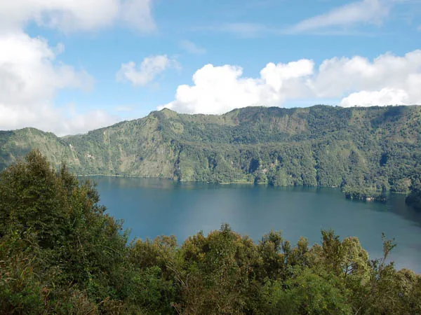
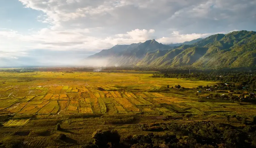
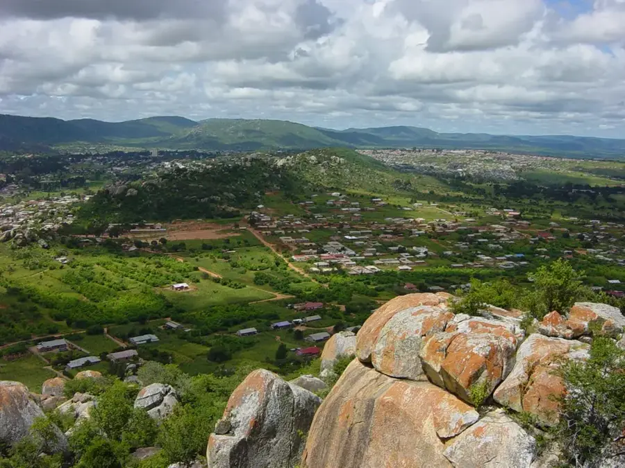
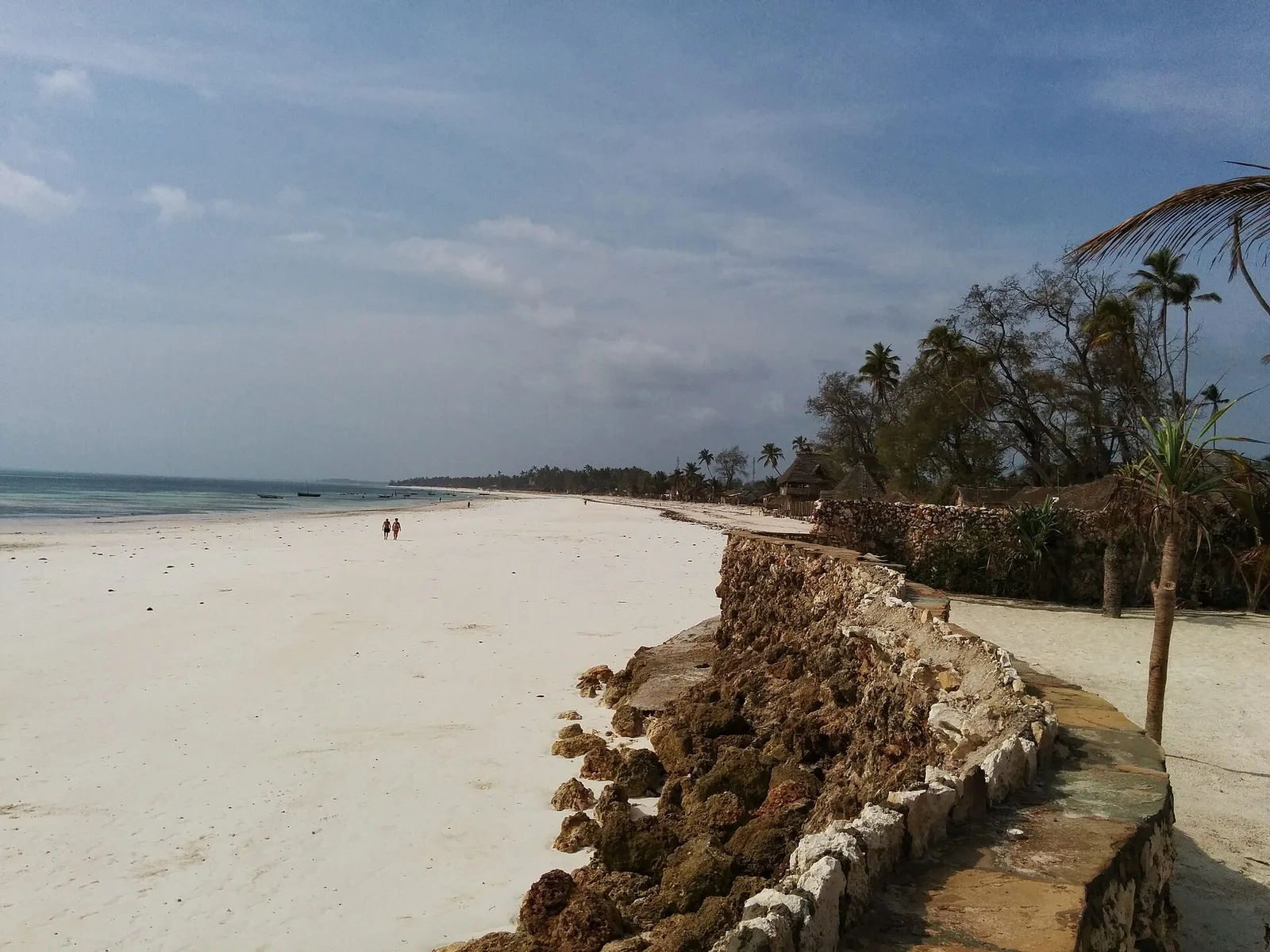
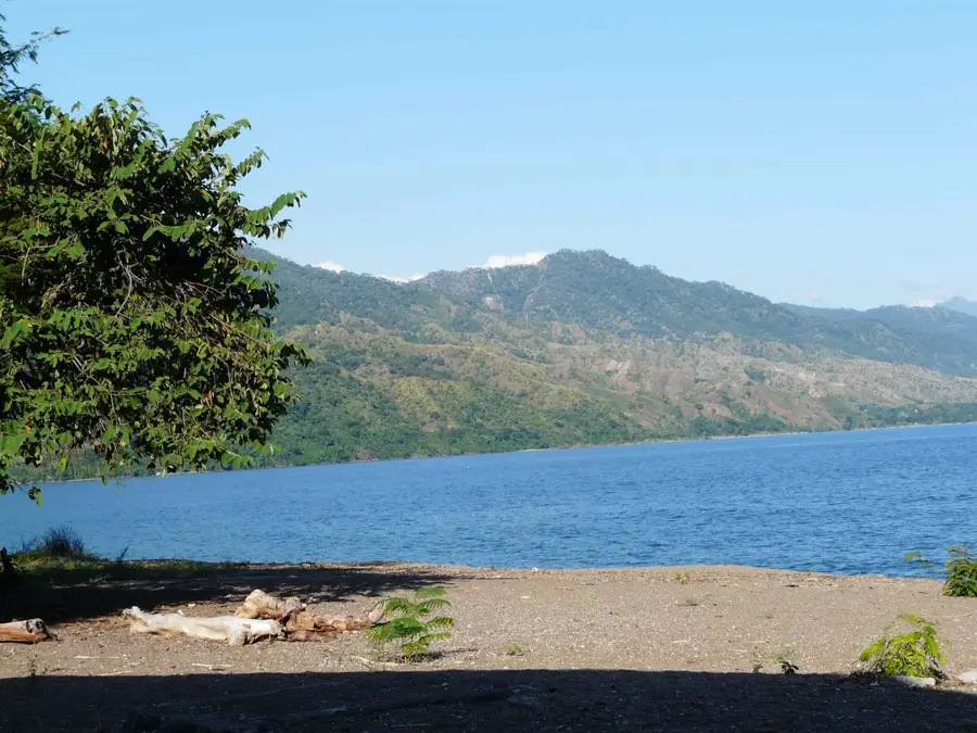
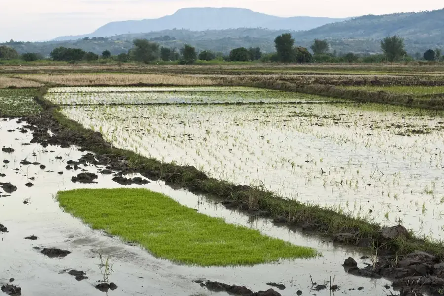
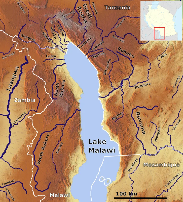
The Kipengere Range, often grouped with the Livingstone Mountains, is a significant mountain chain in the Southern Highlands of Tanzania, primarily located in the Njombe and Mbeya regions. This range is characterized by high-altitude plateaus and rugged peaks, with elevations reaching up to 2,900 meters. A major portion of the range is included within the Kitulo National Park, famously known as the "Serengeti of Flowers" due to its extraordinary botanical diversity, featuring over 350 species of vascular plants, including numerous endemic orchids. The Kipengere Range serves as a critical water tower for Tanzania, feeding major rivers like the Great Ruaha and the Zambezi. The climate is markedly cooler than the surrounding lowlands, with frequent frosts during the dry season. Historically, the area has been a site of pastoralist and agricultural activity, with the local Kinga and Wanji people maintaining a deep connection to the land and its unique montane environment.
- Location: Tanzania
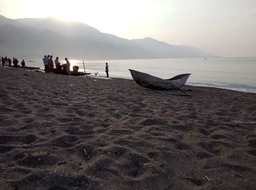
- Nearby: Matema (11 km)
Best time to visit & climate
The most pleasant time to visit is May, Aug, Sep.
| Jan | Feb | Mar | Apr | May | Jun | Jul | Aug | Sep | Oct | Nov | Dec | |
|---|---|---|---|---|---|---|---|---|---|---|---|---|
| Avg °C | 22 | 22 | 22 | 21 | 19 | 17 | 17 | 19 | 22 | 24 | 25 | 23 |
| Rain mm | 272 | 207 | 245 | 125 | 34 | 13 | 15 | 9 | 3 | 25 | 90 | 269 |
📋 Practical info
Geography
Facts
- Includes the Kitulo National Park
- Over 350 vascular plant species
- Maximum elevation of 2,900 m
- Known as the Serengeti of Flowers
- Source of the Great Ruaha River
- Borders Njombe and Mbeya regions
Explore nearby
Notable places around
Route planner — Car & Motorhome
Where do you start? We build the route here, with stops and country notes along the way.
© OpenStreetMap contributors · OpenRouteService
Sights nearby
Frequently asked questions
How to reach the Kipengere Range?
Are there organized tours there?
Is this area known to hikers?
How high are the peaks?
Is there a best time to visit?
Kipengere Range: where is it located?
Kipengere Range: when is the best time to visit?
Kipengere Range: why is it worth visiting?

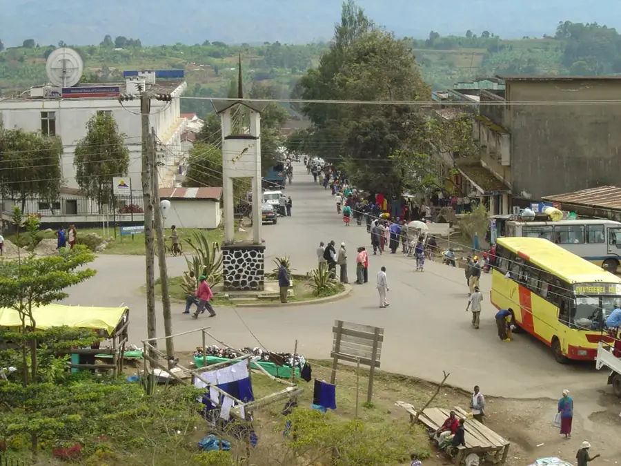
Nearby cities


History & landmarks
More places