Plizio Visual Lab
Balikh
Weather…
Water temperature…
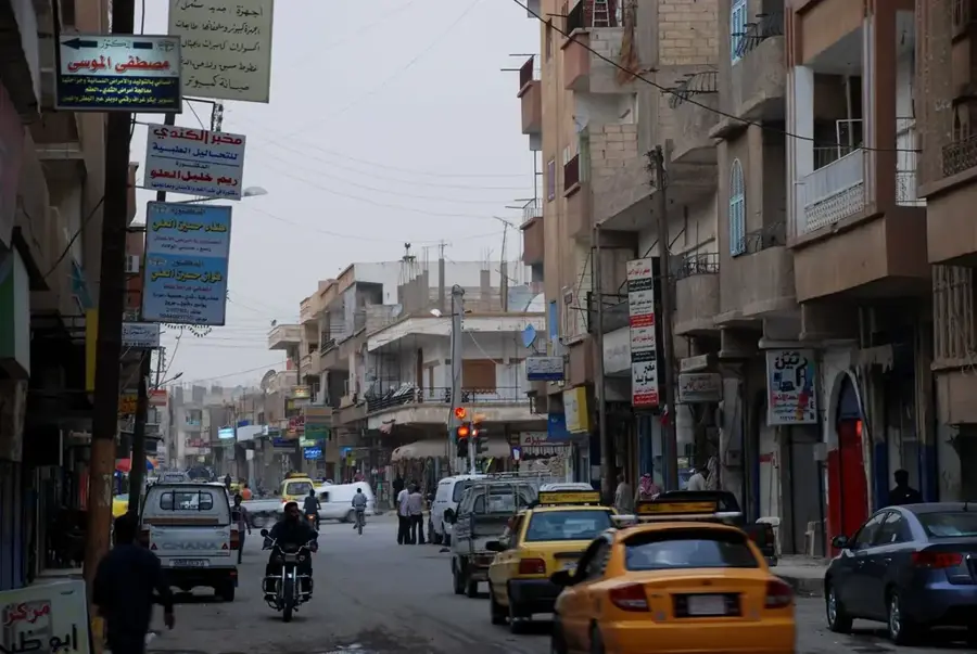
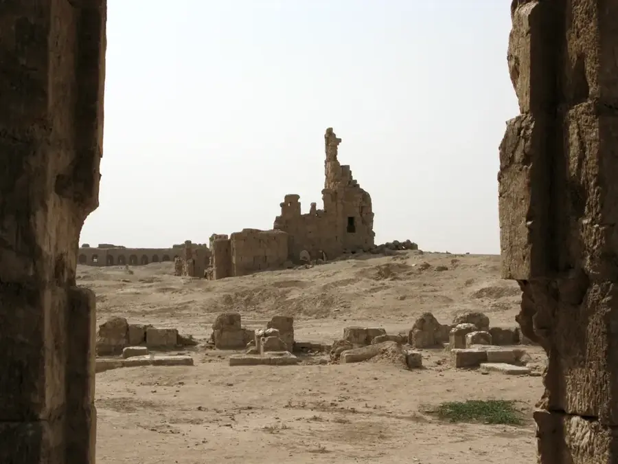
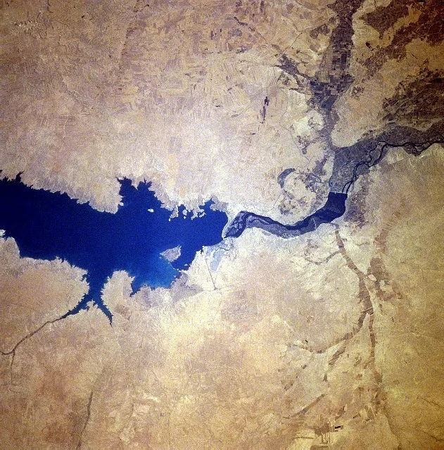
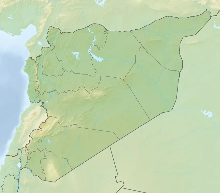
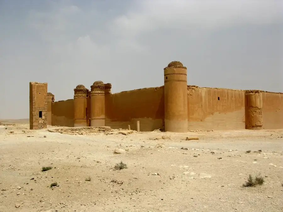
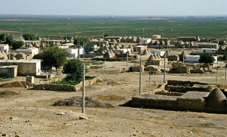
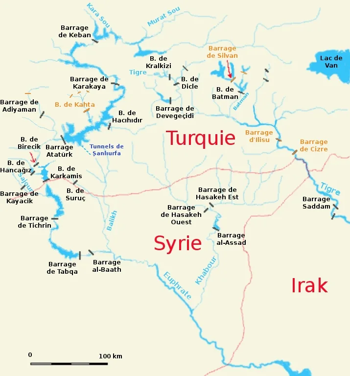
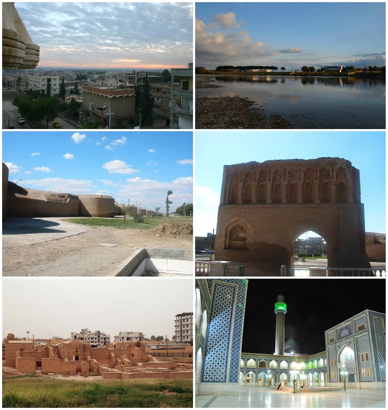
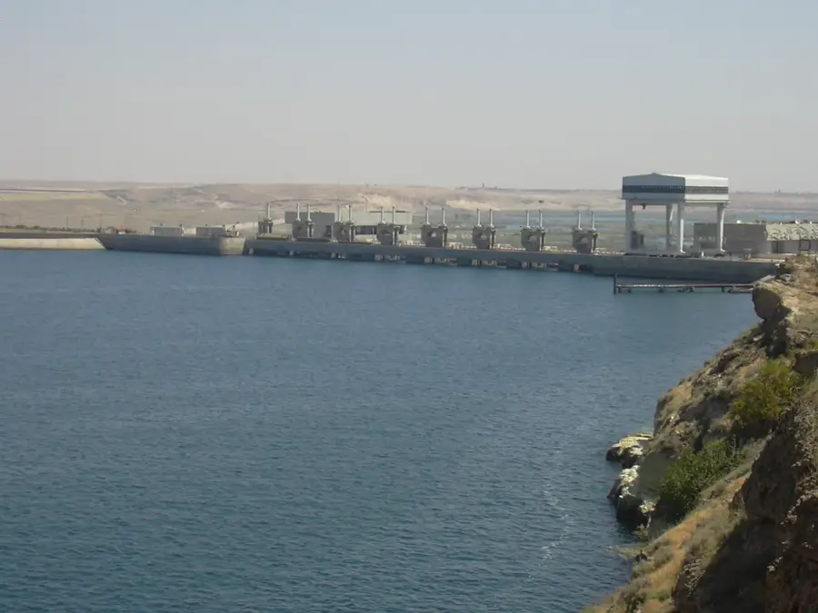
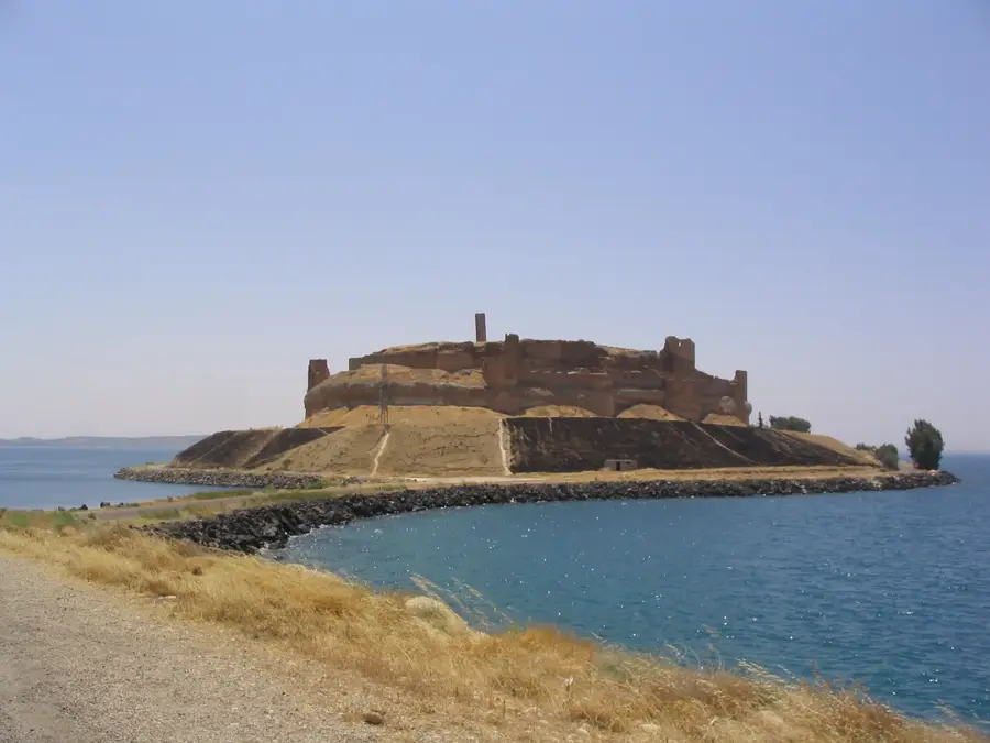
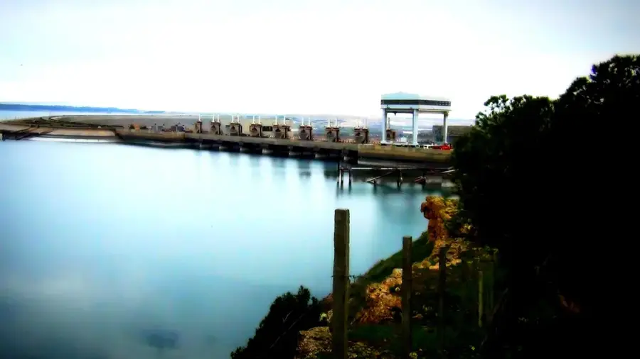
The Balikh is a tributary of the Euphrates, approximately 100 kilometers long, located in northern Syria, and has played a central role in human settlement since the Neolithic period. It originates from the massive Ain al-Arous karst spring near Tell Abyad and flows southward until it joins the Euphrates at Raqqa. The Balikh Valley is regarded as one of the cradles of civilization, where some of the world's earliest agricultural communities emerged, as evidenced by archaeological excavations at Tell Sabi Abyad. Historically, the river often served as a cultural boundary and was the setting for major events, including the famous Battle of Carrhae (Harran), which took place near its upper reaches. While the river once flowed abundantly year-round and irrigated vast areas, the construction of modern dams and intensive groundwater extraction in the 20th century have drastically reduced its water levels. Today, the Balikh is often reduced to a small stream whose survival is closely linked to regional water management projects. Despite these ecological challenges, it remains an indispensable part of the cultural heritage and landscape of Upper Mesopotamia.
- Location: Syria
- Top sights: Tall Aswad · Tall Zaydan · Tall ash Shaykh As`ad
- Nearby: Ar-Raqqah (8 km)
Best time to visit & climate
The most pleasant time to visit is Apr, May, Oct.
| Jan | Feb | Mar | Apr | May | Jun | Jul | Aug | Sep | Oct | Nov | Dec | |
|---|---|---|---|---|---|---|---|---|---|---|---|---|
| Avg °C | 6 | 8 | 12 | 17 | 23 | 28 | 32 | 32 | 28 | 22 | 13 | 7 |
| Rain mm | 48 | 41 | 35 | 27 | 15 | 3 | 0 | 1 | 3 | 20 | 32 | 52 |
📋 Practical info
Geography
Facts
- The Balikh originates from the Ain al-Arous spring near the town of Tell Abyad.
- The total length of the river is approximately 100 kilometers.
- Tell Sabi Abyad in the Balikh Valley dates back to the 7th millennium BC.
- The river flows into the Euphrates just to the east of the city of Raqqa.
- The valley was historically a key route between Anatolia and central Mesopotamia.
- Agricultural pumping has significantly reduced the river's flow in recent decades.
Explore nearby
Notable places around
Route planner — Car & Motorhome
Where do you start? We build the route here, with stops and country notes along the way.
© OpenStreetMap contributors · OpenRouteService
Sights in the town Balikh (3)
Sights nearby
Frequently asked questions
Can you fish in the Balikh?
How is the water quality?
Are there parking options near the bank?
Is the region suitable for photography?
How long does a tour along the Balikh take?
Balikh: where is it located?
Balikh: what is there to see?
Balikh: when is the best time to visit?
Balikh: why is it worth visiting?

Nearby cities
History & landmarks
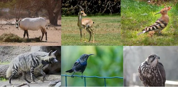
Nature
More places