Plizio Visual Lab

Tjåmuhas

Plizio editorial teamData Sources
Mountain
—°1
Tjåmuhas (Sweden)

Weather…

Tjåmuhas is a prominent mountain in the northern Swedish province of Lapland, rising to an elevation of 1,743 meters above sea level. Situated southeast of Abisko National Park, it is part of the extensive mountain range that flanks the Alesjaure valley. The peak is characterized by broad, scree-covered slopes and rugged rock formations typical of the high-alpine Scandinavian environment. Geologically, Tjåmuhas is part of the Swedish Caledonides and consists primarily of metamorphic rocks such as gneiss and schist. The mountain has hikers traveling off the main Kungsleden trail a challenging but rewarding climb, featuring expansive views of Lake Alesjaure and the surrounding glaciated peaks. Vegetation is sparse, consisting only of hardy alpine plants and lichens capable of surviving the extreme subarctic climate. Historically, the area is deeply connected to the reindeer husbandry of the local Sami people, who have used the valleys surrounding Tjåmuhas for summer grazing for generations.

Best time to visit & climate

The most pleasant time to visit is Jun–Aug.

JanFebMarAprMayJunJulAugSepOctNovDec
Avg °C-13-12-10-5161194-3-8-11
Rain mm7873766990113152116111908189

📋 Practical info

🧭
Getting there
Tjåmuhas is located near Abisko in Swedish Lapland and can be reached via the E10 highway. The mountain is accessible from the Abisko National Park area, where several well-marked hiking trails lead toward the higher elevations and the scenic viewpoints.
📅
Best season
The prime season for hiking Tjåmuhas is from July to September when the trails are mostly free of snow. For those interested in winter activities, the mountain is a popular spot for ski touring from late February through May when daylight returns to the north.
⛰️
Terrain & paths
As a mountain in the Abisko range, the terrain is steep and rocky with interesting geological formations. The paths can be quite demanding, but they reward hikers with spectacular views of the famous Lapporten, the iconic 'Gateway to Lapland'.
🎒
What to bring
Robust mountain boots and windproof clothing are essential for the exposed slopes of the peak. Because of the Arctic climate, you should always pack extra warm layers, a hat, and gloves, even in summer, along with a reliable navigation tool for the alpine terrain.
🅿️
Parking
Parking facilities are available in Abisko village and at the nearby Abisko Mountain Station. These areas serve as excellent base points for your hike, offering easy access to the trailhead while providing a safe place to leave your vehicle during the day.
⚠️
Safety
Be aware of rapidly changing weather conditions which are typical for the Arctic mountains. Ensure you are prepared for sudden drops in temperature or visibility, and always check the local mountain weather forecast before starting your ascent to the summit area.
⏱️
Time needed
A hike to the viewpoints on Tjåmuhas typically requires five to seven hours for a round trip. Given the steep ascent and the incredible photo opportunities of Lapporten, it is best to allow for a full day to enjoy the climb at a comfortable and safe pace.

Geography

Coordinates
68.20000, 18.67000

Facts

  • Tjåmuhas stands at an elevation of 1,743 meters.
  • It is located in Swedish Lapland, near Abisko National Park.
  • The mountain overlooks the scenic Lake Alesjaure.
  • Geologically, it consists of metamorphic gneiss and schist.
  • The area is a traditional summer grazing site for reindeer.
  • The summit is a popular destination for experienced off-trail hikers.

Explore nearby

Notable places around

Route planner — Car & Motorhome

Where do you start? We build the route here, with stops and country notes along the way.

Vehicle
Only stops with (optional):

© OpenStreetMap contributors · OpenRouteService

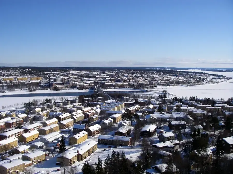
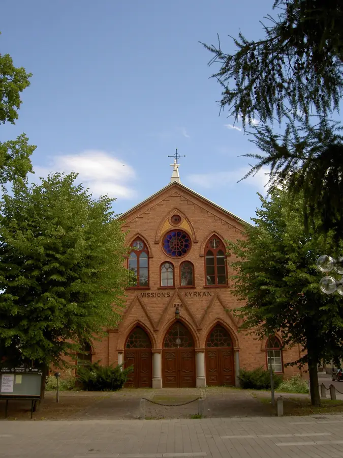
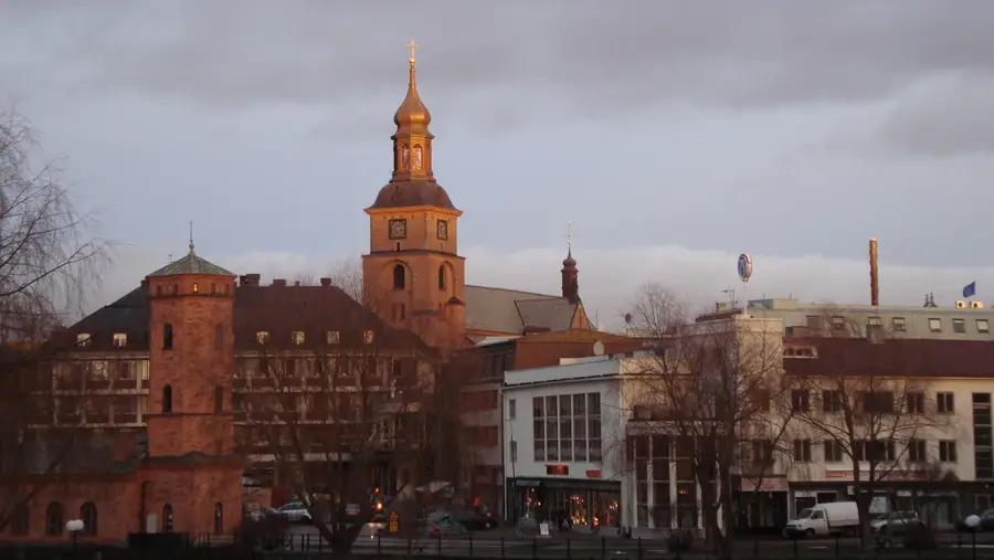
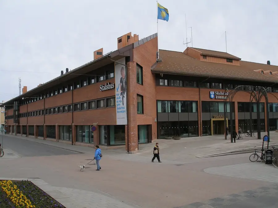
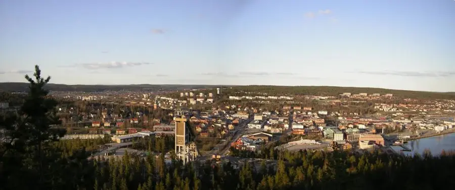
Sights in the town Tjåmuhas (1)

Adnjetjårro📍 landmark

A mountain peak in the northern Swedish mountain landscape.

Sights nearby

Frequently asked questions

Where is Mount Tjåmuhas located?
South of Abisko in Swedish Lapland.
Can you hike there from Abisko?
Yes, it is a long but rewarding day trip for experienced hikers.
How high is Tjåmuhas?
The highest peak reaches 1743 meters.
What is special about its location?
It provides a spectacular view of 'Lapporten', the famous U-shaped valley.
Are there marked trails to the summit?
Usually, there are no marked trails to the summit itself; a sense of orientation is required.
Tjåmuhas: where is it located?
Tjåmuhas is located in Sweden.
Tjåmuhas: when is the best time to visit?
The most pleasant time to visit is Jun, Aug.
Tjåmuhas: why is it worth visiting?
Tjåmuhas is a prominent mountain in the northern Swedish province of Lapland, rising to an elevation of 1,743 meters above sea level.
View on map → The Top 50 Attractions → Most beautiful beaches → OpenStreetMap →
Europe
Explore with Plizio Discover more places in Europe
More places in Sweden →

Nearby cities

History & landmarks