Plizio Visual Lab
Söderåsen East

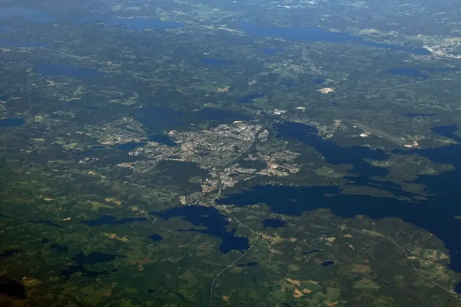
Söderåsen East encompasses the eastern portion of the Söderåsen National Park in the southern Swedish province of Scania. Geologically, Söderåsen is a horst, a tectonically uplifted block of the Earth's crust formed approximately 150 million years ago during the Cimmerian orogeny. The landscape is defined by steep gorges, vast plateaus, and the largest continuous deciduous forests in Northern Europe. The eastern area features characteristic rock formations and deeply incised valleys shaped by erosion during the last ice ages. The vegetation consists primarily of beech and oak forests, providing a habitat for rare fungal species and a diverse insect fauna. The region's highest point reaches about 212 meters above sea level, making Söderåsen one of the most prominent elevations in the otherwise flat Scanian landscape. Historically, the area was used for forestry before being officially designated as a national park in 2001.
- Location: Sweden
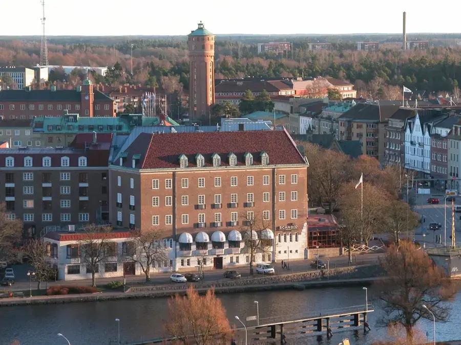
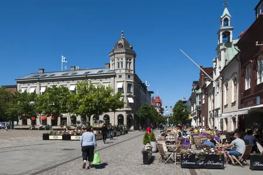
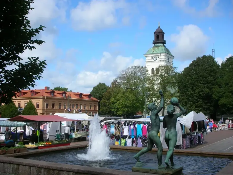
- Top sights: Nackarps naturreservat · Söderåsens Älgpark · Röstångabadet
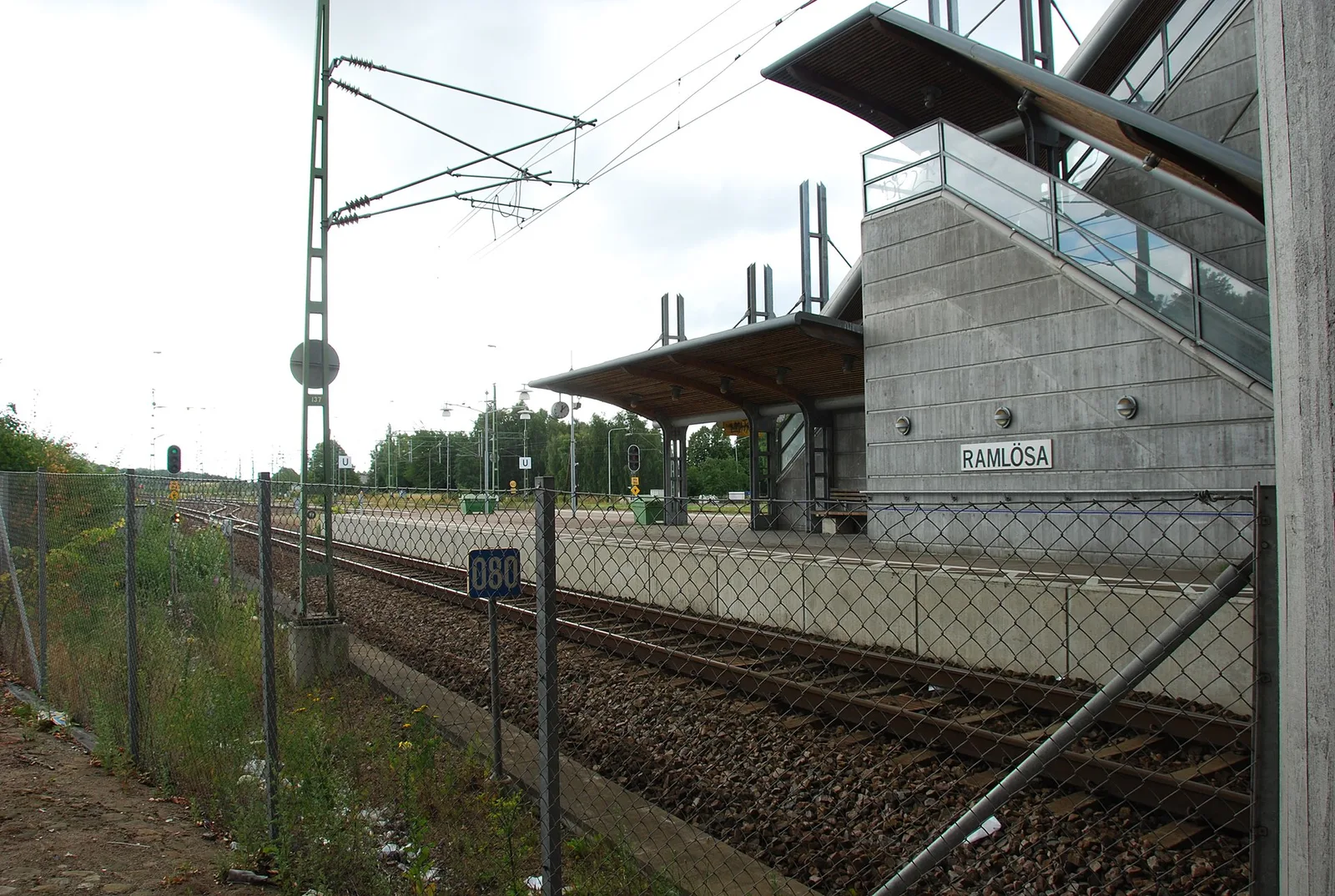
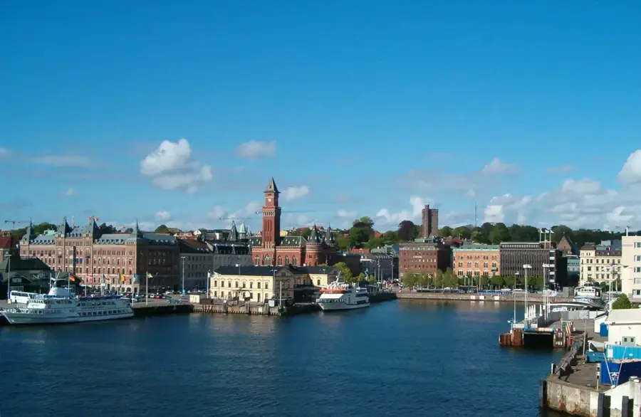
- Nearby: Bjuv (20 km)
Best time to visit & climate
The most pleasant time to visit is Jun–Aug.
| Jan | Feb | Mar | Apr | May | Jun | Jul | Aug | Sep | Oct | Nov | Dec | |
|---|---|---|---|---|---|---|---|---|---|---|---|---|
| Avg °C | -1 | -1 | 2 | 6 | 11 | 15 | 17 | 17 | 13 | 9 | 5 | 1 |
| Rain mm | 68 | 55 | 47 | 40 | 54 | 66 | 86 | 87 | 59 | 80 | 73 | 72 |
📋 Practical info
Geography
Facts
- Söderåsen was established as a national park in 2001, covering an area of 1,625 hectares.
- The ridge is part of the Tornquist Zone, a major geological fault line across Europe.
- At 212 meters above sea level, it is one of the highest points in the province of Scania.
- The Skäralid valley within the park is one of Northern Europe's deepest gorges, with 90-meter walls.
- Over 700 different species of fungi have been documented within the forests of Söderåsen.
- The rock formations in the eastern section consist primarily of Precambrian gneiss.
Explore nearby
Notable places around
Route planner — Car & Motorhome
Where do you start? We build the route here, with stops and country notes along the way.
© OpenStreetMap contributors · OpenRouteService
Sights in the town Söderåsen East (3)
Sights nearby
Frequently asked questions
What characterizes Söderåsen-Ost?
What is the most famous viewpoint called?
Are there accessible paths there?
Can you stay overnight in the national park?
When is the autumn foliage most beautiful?
Söderåsen East: where is it located?
Söderåsen East: what is there to see?
Söderåsen East: when is the best time to visit?
Söderåsen East: why is it worth visiting?

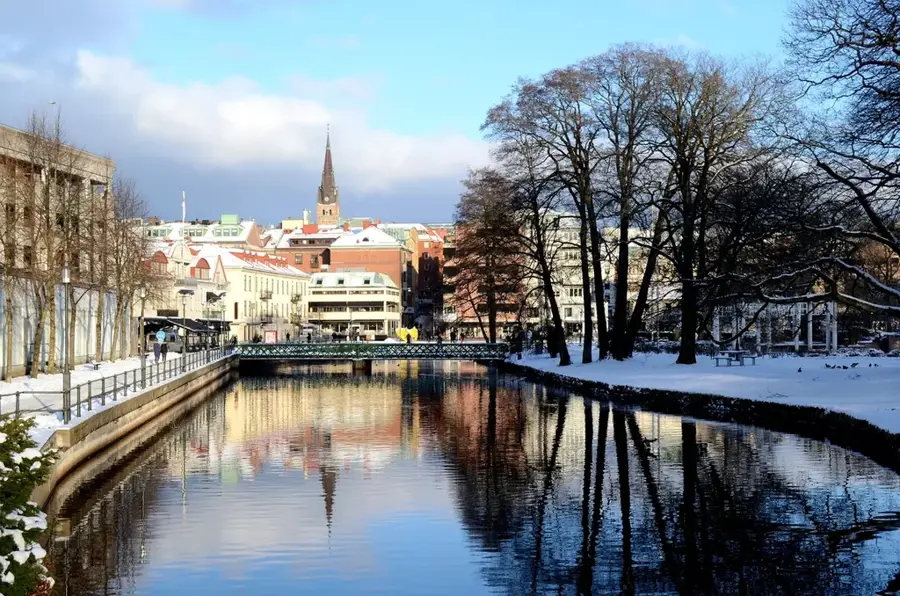
Nearby cities