Plizio Visual Lab
Kilsbergen
Weather…
Water temperature…
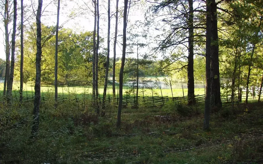
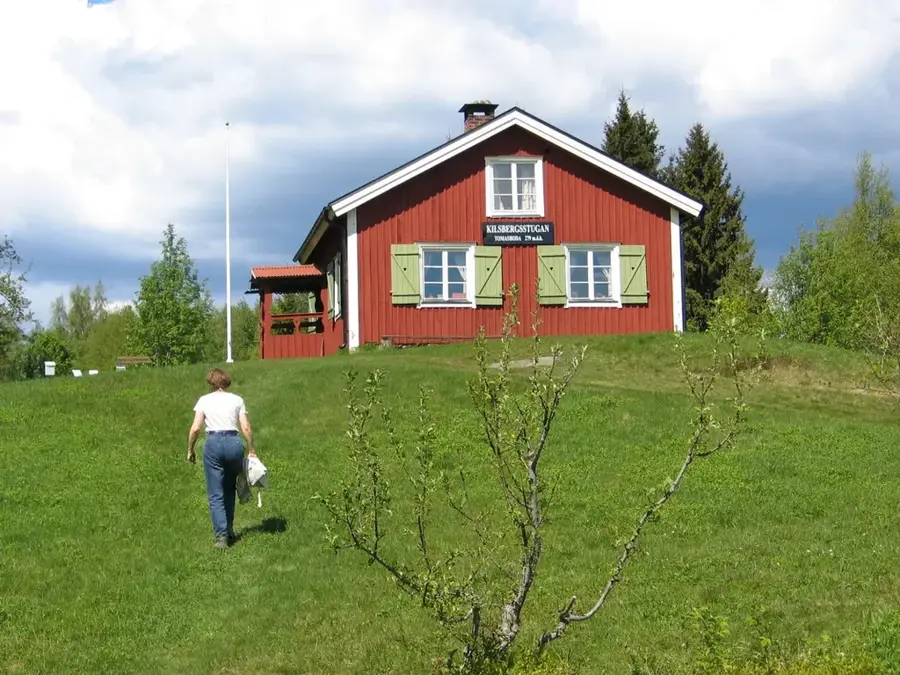
Kilsbergen, often referred to as the blue mountains, form a distinctive ridge on the border between the provinces of Närke, Västmanland, and Värmland. This geological fault line rises steeply from the Närke plain, providing impressive views over the city of Örebro and the surrounding agricultural landscape. The highest point is Tomasbodahöjden, reaching 298 meters above sea level. The region is known for its diverse nature, ranging from dark spruce forests and open bogs to rocky gorges. Historically, Kilsbergen was a center for the early iron industry, evidenced today by old mining sites and charcoal kilns. The area is now a vital recreational hub, featuring a dense network of hiking trails, such as the famous Bergslagsleden, and numerous cross-country skiing opportunities in winter. Biological diversity is high, with the ridge serving as an important ecological corridor for large predators like wolves and lynx.
- Location: Sweden
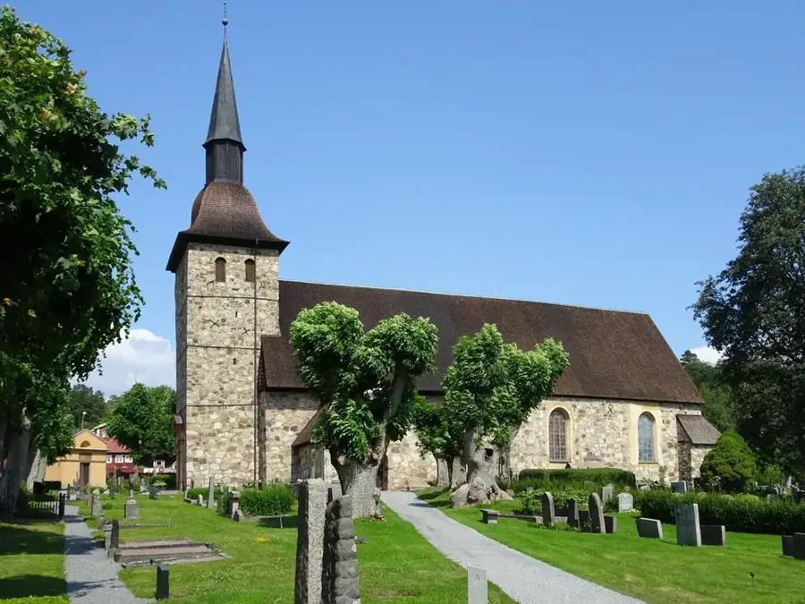
- Top sights: Jönsaskogens naturreservat · Dunderklintarnas naturreservat · Svenshyttans naturreservat
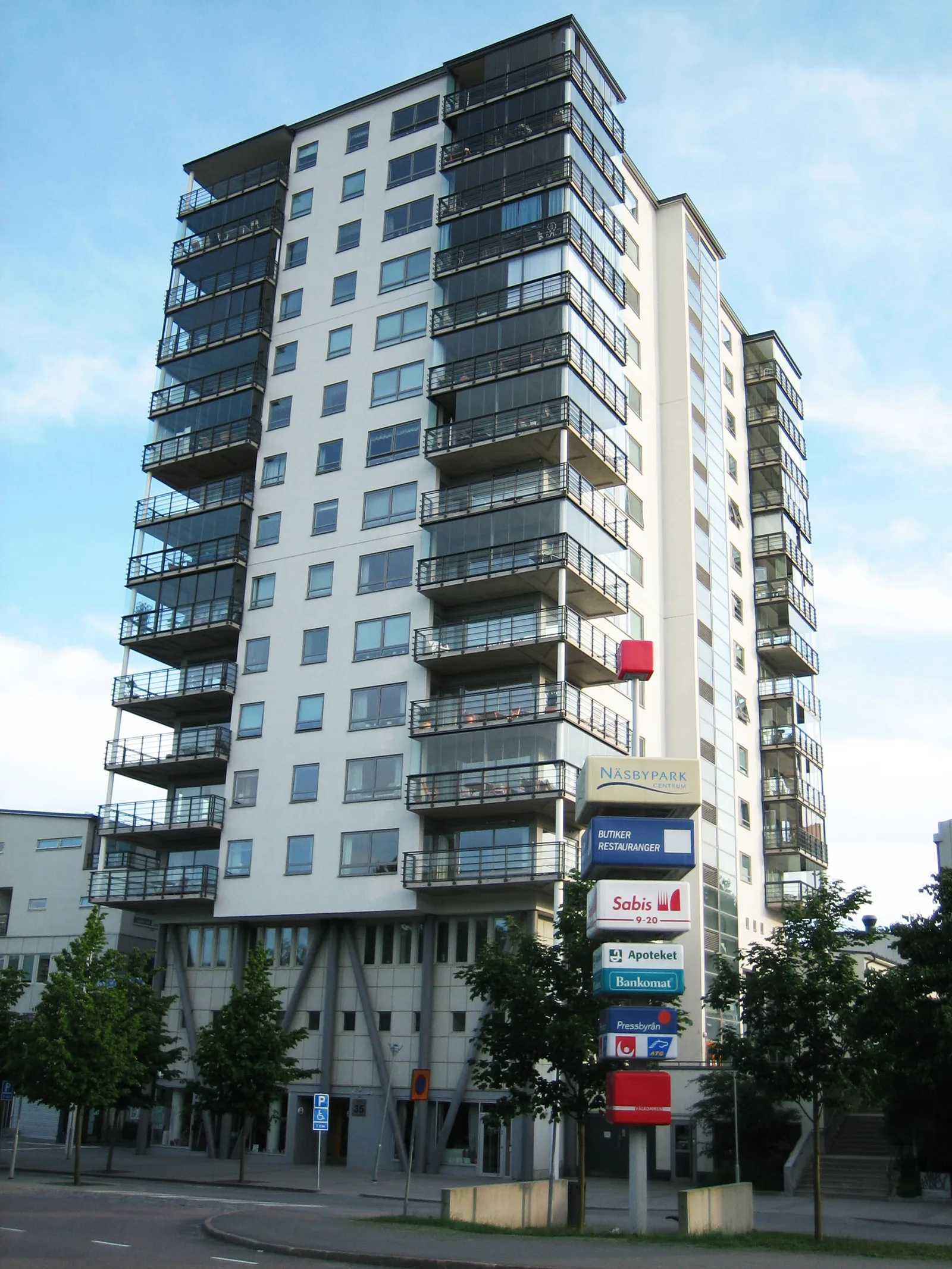
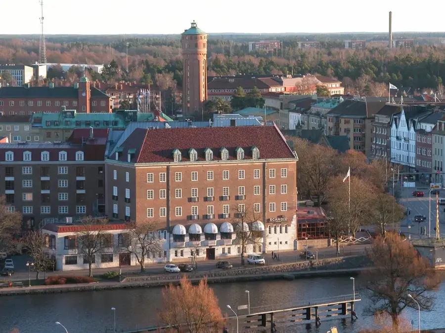
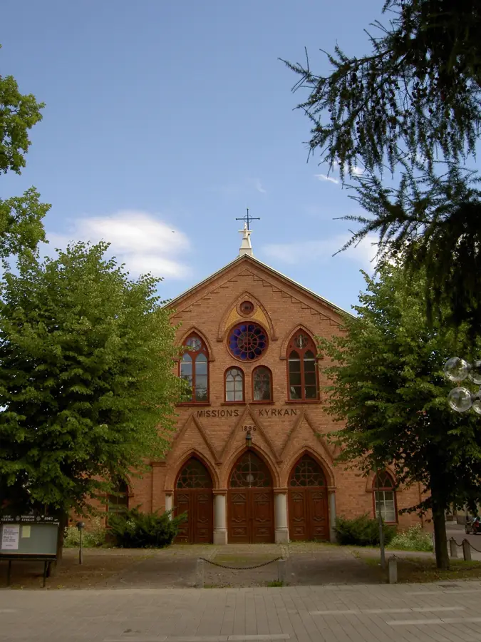
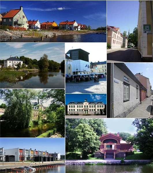
- Nearby: Karlskoga (16 km)
Best time to visit & climate
The most pleasant time to visit is Jun–Aug.
| Jan | Feb | Mar | Apr | May | Jun | Jul | Aug | Sep | Oct | Nov | Dec | |
|---|---|---|---|---|---|---|---|---|---|---|---|---|
| Avg °C | -5 | -4 | 0 | 5 | 11 | 15 | 17 | 16 | 12 | 6 | 1 | -3 |
| Rain mm | 60 | 48 | 44 | 46 | 80 | 93 | 107 | 93 | 64 | 83 | 72 | 61 |
📋 Practical info
Geography
Facts
- Kilsbergen is nicknamed the Blue Mountains due to its appearance.
- The highest peak is Tomasbodahöjden at 298 meters.
- It features the Garphyttan National Park, established in 1909.
- The ridge serves as a major watershed in central Sweden.
- The area was historically essential for iron ore extraction.
- It is a popular destination for outdoor sports near Örebro.
Explore nearby
Notable places around
Route planner — Car & Motorhome
Where do you start? We build the route here, with stops and country notes along the way.
© OpenStreetMap contributors · OpenRouteService
Sights in the town Kilsbergen (4)
Sights nearby
Frequently asked questions
Where is the Kilsbergen mountain range?
What is the highest point?
Can you go skiing there?
What is the difficulty level of the hiking trails?
Are there accommodations nearby?
Kilsbergen: where is it located?
Kilsbergen: what is there to see?
Kilsbergen: when is the best time to visit?
Kilsbergen: why is it worth visiting?

Nearby cities