Plizio Visual Lab
Djurö National Park
Weather…
Water temperature…
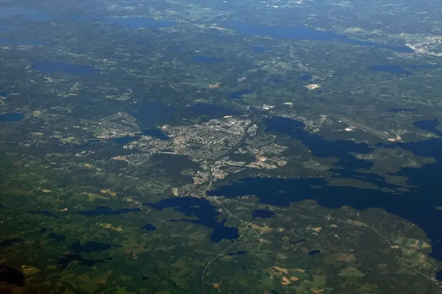
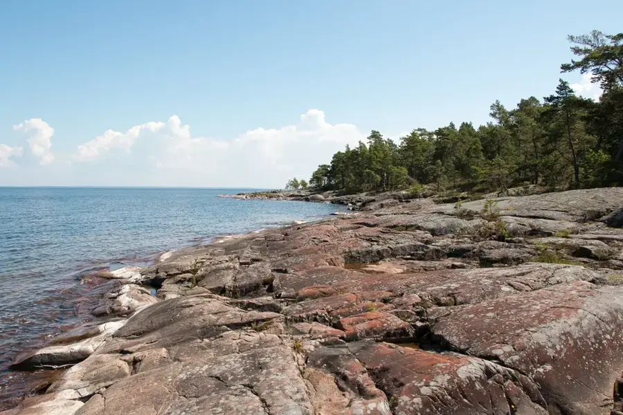
Djurö National Park is located in the center of Lake Vänern, Sweden's largest lake, and consists of an isolated archipelago of around 30 islands and skerries. Established in 1991, the park aims to protect the unique inland sea archipelago landscape and its undisturbed natural environment. The geology is defined by barren bedrock and thin soil layers, supporting sparse pine forests and extensive lichen carpets. Historically, the islands were used for sheep grazing and were once home to a lighthouse keeper, whose presence is still marked by small buildings and remnants of cultural landscapes. Currently, the park is only accessible by boat, offering visitors a profound sense of solitude and tranquility. The fauna is notable for its large population of fallow deer and diverse birdlife, including ospreys and hobbies. Despite being in a freshwater lake, the maritime climate and vegetation closely resemble the coastal environments of the Baltic Sea.
- Location: Sweden
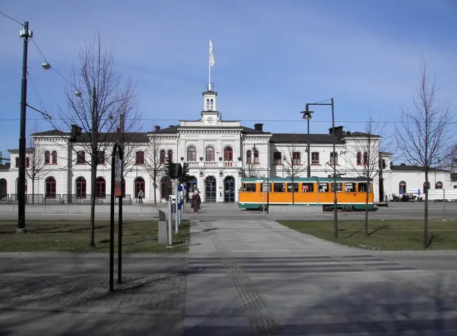
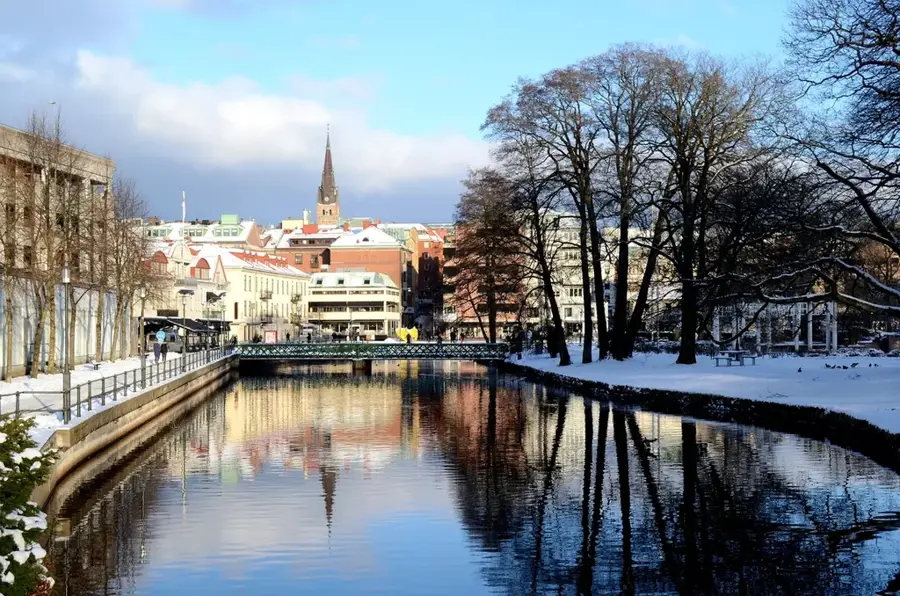
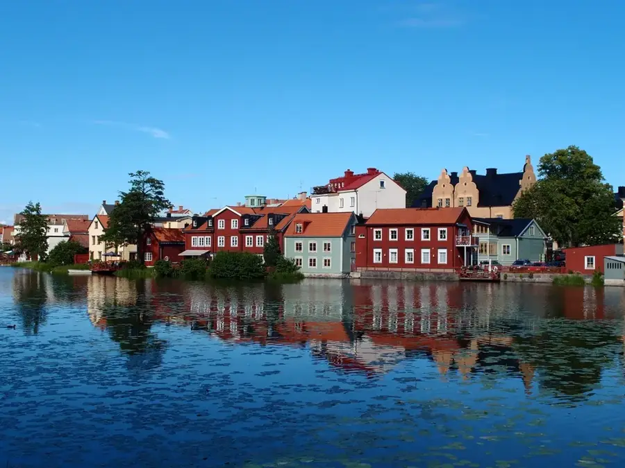
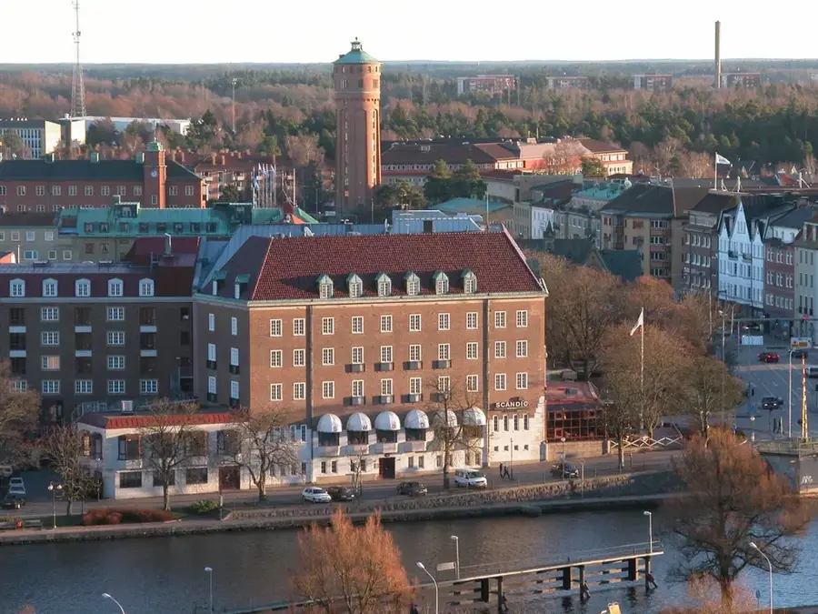
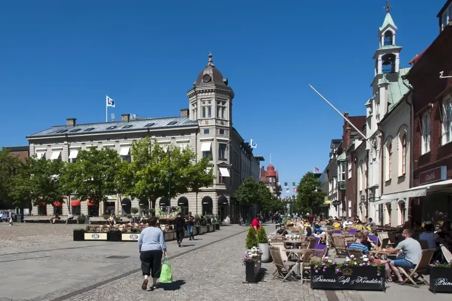
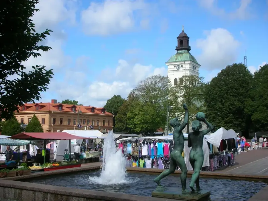
- Nearby: Lidköping (39 km)
Best time to visit & climate
The most pleasant time to visit is Jun–Aug.
| Jan | Feb | Mar | Apr | May | Jun | Jul | Aug | Sep | Oct | Nov | Dec | |
|---|---|---|---|---|---|---|---|---|---|---|---|---|
| Avg °C | -4 | -3 | 1 | 7 | 12 | 16 | 19 | 18 | 13 | 7 | 2 | -3 |
| Rain mm | 60 | 47 | 42 | 49 | 86 | 104 | 115 | 113 | 73 | 82 | 71 | 60 |
📋 Practical info
Geography
Facts
- Established in 1991 to protect the central Lake Vänern archipelago.
- Covers a total area of approximately 2400 hectares.
- Comprises about 30 individual islands and numerous rocky skerries.
- Features an unusual population of fallow deer introduced in the 1800s.
- Accessible only by boat, roughly 8 kilometers from the mainland.
- Key breeding ground for ospreys and hobbies.
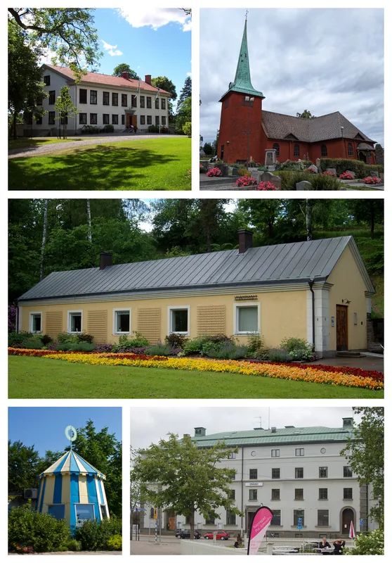
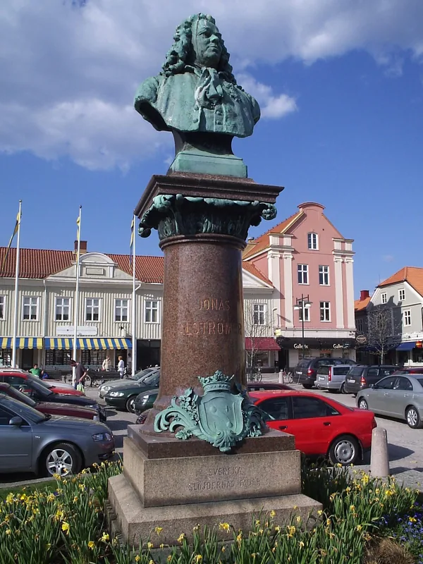
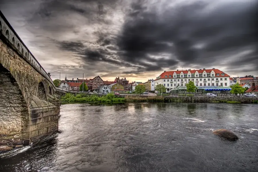
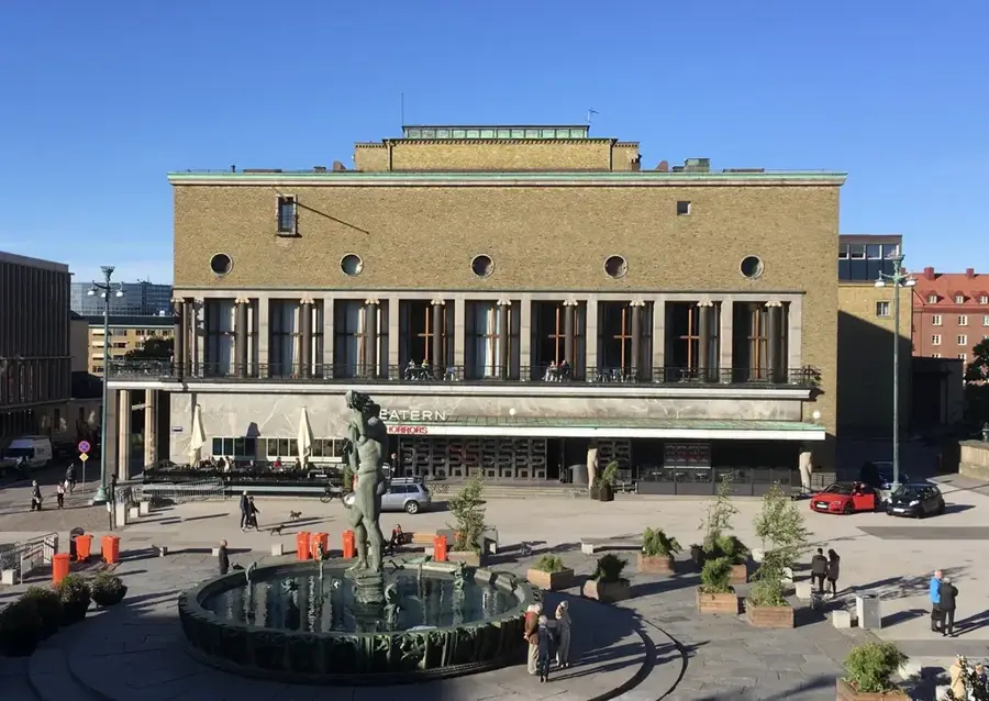
Explore nearby
Notable places around
Route planner — Car & Motorhome
Where do you start? We build the route here, with stops and country notes along the way.
© OpenStreetMap contributors · OpenRouteService
Sights nearby
Frequently asked questions
In which lake is Djurö located?
How do you get to the national park?
Is there a lighthouse there?
Can you see deer there?
Are there hiking trails?
Djurö National Park: where is it located?
Djurö National Park: when is the best time to visit?
Djurö National Park: why is it worth visiting?

Nearby cities