Plizio Visual Lab
Khor Attar
Weather…
Water temperature…
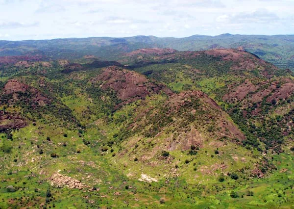
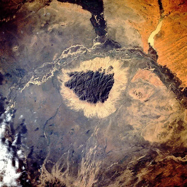
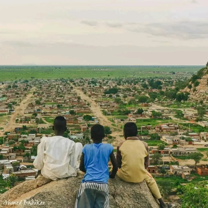
Khor Attar is a significant seasonal river system and geographical region in South Sudan, near the border with Sudan, closely linked to the hydrology of the White Nile. In the region, a khor refers to a riverbed that carries water only during the rainy season, creating vital wetlands. These landscapes are of crucial importance for the livestock farming of local communities, particularly the Dinka and Shilluk, who utilize the fertile alluvial lands for their herds. The ecology of Khor Attar is characterized by extensive grass savannas and acacia forests, providing sanctuary for numerous wildlife species. During the annual floods, the khor forms a complex network of channels rich in fish stocks, securing the local food supply. Historically, the region was an important landmark for explorers and traders heading south. In the modern era, Khor Attar faces challenges from climate change and water engineering projects that could affect the delicate balance of the Sudd wetlands. The preservation of these seasonal waterways is essential for biodiversity and the traditional lifestyle of the region.
Best time to visit & climate
The most pleasant time to visit is Jan, Nov, Dec.
| Jan | Feb | Mar | Apr | May | Jun | Jul | Aug | Sep | Oct | Nov | Dec | |
|---|---|---|---|---|---|---|---|---|---|---|---|---|
| Avg °C | 27 | 30 | 32 | 33 | 32 | 29 | 27 | 26 | 27 | 28 | 28 | 27 |
| Rain mm | 0 | 0 | 2 | 14 | 70 | 109 | 153 | 158 | 144 | 100 | 2 | 1 |
📋 Practical info
Geography
Facts
- Khor Attar is a tributary stream that flows into the White Nile.
- It only carries water during the rainy season from June to October.
- The region is situated in the transition zone between Sudan and South Sudan.
- The alluvial plains are vital grazing lands for the Shilluk people.
- The surrounding area contains significant acacia stands for gum arabic harvest.
- The hydrology is directly dependent on the water level of the White Nile.
Explore nearby
Notable places around
Route planner — Car & Motorhome
Where do you start? We build the route here, with stops and country notes along the way.
© OpenStreetMap contributors · OpenRouteService
Sights nearby
Frequently asked questions
Is Khor Attar a tourist hotspot?
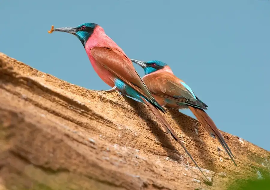
Can you watch birds there?
What is the best time of day?
Are there accommodations nearby?
How much time should I plan for?
Khor Attar: where is it located?
Khor Attar: when is the best time to visit?
Khor Attar: why is it worth visiting?

Nearby cities
More places