Plizio Visual Lab
Jebel Dair Massif

Weather…
Water temperature…
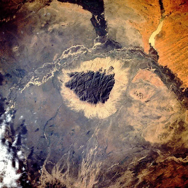
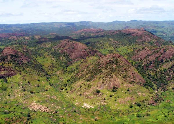
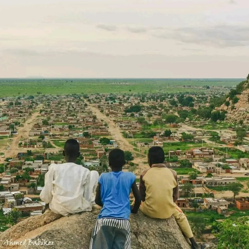
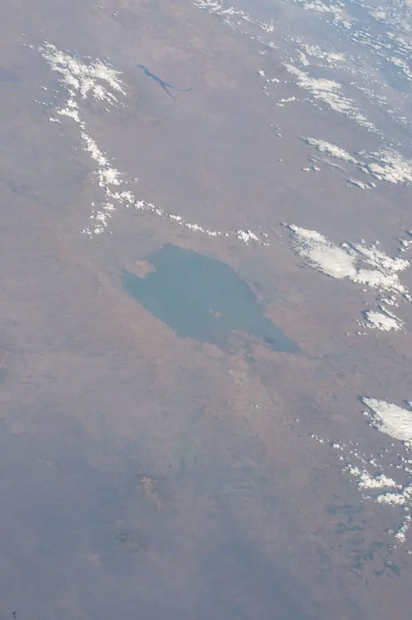
The Jebel Dair Massif is an imposing granite elevation in North Kordofan State, rising about 1,000 meters above the surrounding plains. With a peak elevation of 1,451 meters above sea level, it forms one of the most distinctive relief features of Central Sudan. The massif was declared a national park in 2010 to protect its unique biodiversity and the valuable water resources that are vital for the local population. Due to its altitude, Jebel Dair has a microclimate that is significantly cooler and wetter than the surrounding savanna, allowing for the growth of over 100 plant species. The steep slopes and deep gorges provide habitat for endangered animal species such as the Barbary sheep. Historically, the massif served local communities as a natural retreat and fortress during periods of conflict. Today, it is the focus of conservation and ecotourism projects to preserve the ecological integrity of this 'island in the sand'.
- Location: Sudan
- Nearby: Umm Ruwaba (89 km)
Best time to visit & climate
The most pleasant time to visit is Jan, Feb, Dec.
| Jan | Feb | Mar | Apr | May | Jun | Jul | Aug | Sep | Oct | Nov | Dec | |
|---|---|---|---|---|---|---|---|---|---|---|---|---|
| Avg °C | 22 | 25 | 28 | 31 | 32 | 31 | 28 | 27 | 28 | 29 | 26 | 23 |
| Rain mm | 0 | 0 | 0 | 2 | 27 | 53 | 120 | 134 | 81 | 39 | 0 | 0 |
📋 Practical info
Geography
Facts
- Jebel Dair was designated as a national park in 2010.
- The highest point of the massif is at 1,451 meters.
- It is an important water catchment area for over 40 villages.
- Over 112 different plant species have been identified on Jebel Dair.
- The mountain range consists mainly of Precambrian granite.
- It hosts populations of the endangered Barbary sheep.
Explore nearby
Notable places around
Route planner — Car & Motorhome
Where do you start? We build the route here, with stops and country notes along the way.
© OpenStreetMap contributors · OpenRouteService
Sights nearby
Frequently asked questions
What is special about the Jebel Dair Massif?
Is the massif touristically developed?
How is the access to the area?
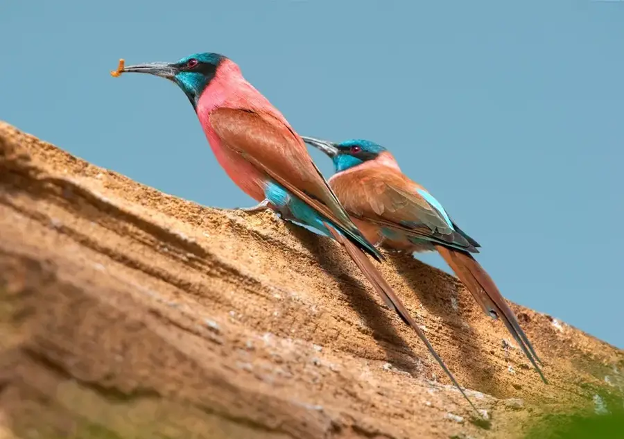
Can one observe birds there?
Which time is best for a visit?
Jebel Dair Massif: where is it located?
Jebel Dair Massif: when is the best time to visit?
Jebel Dair Massif: why is it worth visiting?

Nearby cities
Nature
More places