Plizio Visual Lab
Jebel Nafusa

Weather…
Water temperature…
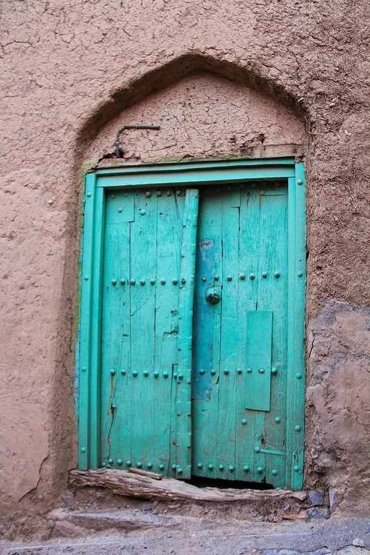
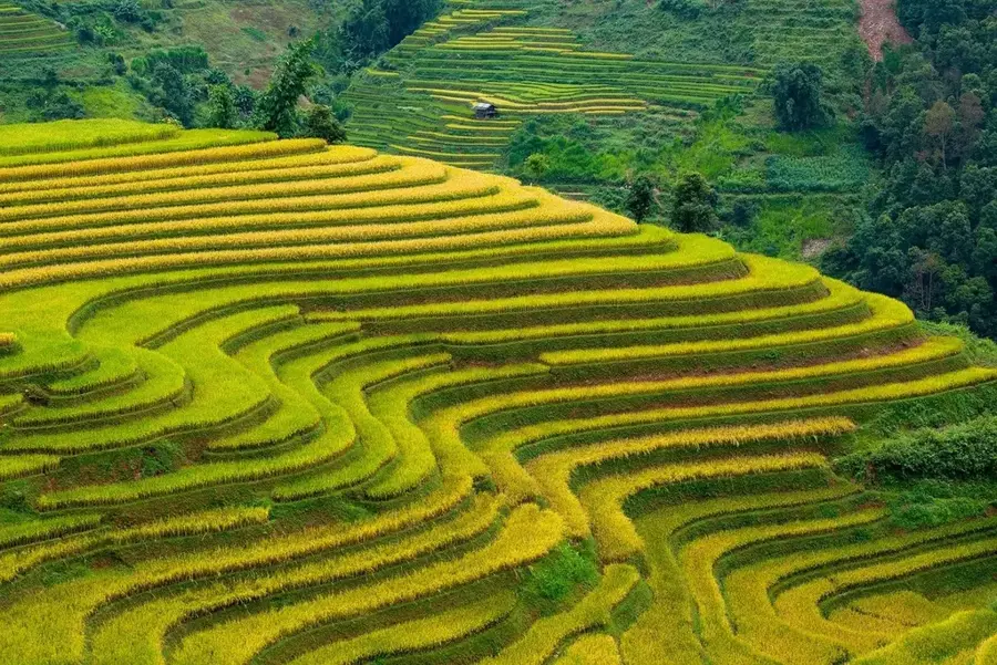
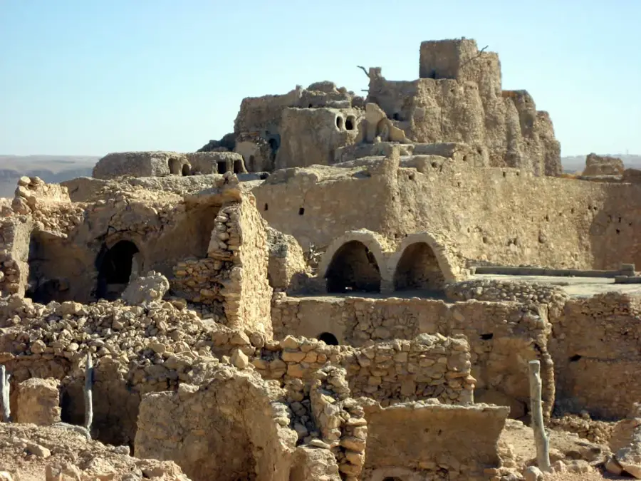
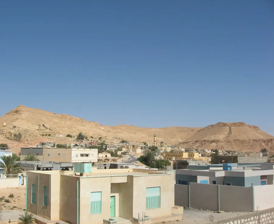
Jebel Nafusa is an imposing mountain range and escarpment in northwestern Libya, rising steeply above the Jafara Plain. The region is the traditional heartland of the Berber Amazigh people and is renowned for its unique architecture, particularly the fortified granaries known as qasrs and troglodyte dwellings. Geologically, the mountains consist of Mesozoic limestone and sandstone layers, forming a prominent escarpment that reaches heights of up to 960 meters. Terrace farming of olives, figs, and cereals characterizes the landscape, testifying to a millennia-old adaptation to semi-arid conditions. Historically, Jebel Nafusa has often served as a sanctuary and a center of resistance against various invaders and central governments. Its strategic location allowed for the control of trade routes between the Mediterranean coast and the Saharan interior. Today, the region is not only a vital cultural heritage site but also a geological reference area for studying the tectonic uplift of North Africa. Photogenic towns like Nalut and Jadu attract interest with their historic buildings and spectacular vistas over the surrounding plains.
- Location: Libya
- Nearby: Nalut (15 km)
Best time to visit & climate
The most pleasant time to visit is Apr, May, Oct.
| Jan | Feb | Mar | Apr | May | Jun | Jul | Aug | Sep | Oct | Nov | Dec | |
|---|---|---|---|---|---|---|---|---|---|---|---|---|
| Avg °C | 9 | 11 | 15 | 19 | 24 | 28 | 30 | 30 | 27 | 22 | 16 | 11 |
| Rain mm | 23 | 29 | 21 | 7 | 5 | 2 | 0 | 1 | 12 | 20 | 22 | 29 |
📋 Practical info
Geography
Facts
- The highest elevation in the range is approximately 960 meters above sea level.
- The mountain range extends for a length of nearly 340 kilometers.
- Qasr al-Haj is one of the region's most famous and well-preserved granaries.
- The area is home to some of Libya's oldest continuously inhabited settlements.
- Geologically, it is part of the South Tethyan margin uplift zone.
- Nalut features an ancient fortress containing more than 300 individual chambers.
Explore nearby
Notable places around
Route planner — Car & Motorhome
Where do you start? We build the route here, with stops and country notes along the way.
© OpenStreetMap contributors · OpenRouteService
Sights nearby
Frequently asked questions
Who lives in Jebel Nafusa?
What are the architectural highlights?
What is the weather like?
Which cities should one visit?
What is the typical food?
Jebel Nafusa: where is it located?
Jebel Nafusa: when is the best time to visit?
Jebel Nafusa: why is it worth visiting?

Nearby cities

Nature
More places