Plizio Visual Lab
Jebel Dair
Weather…
Water temperature…
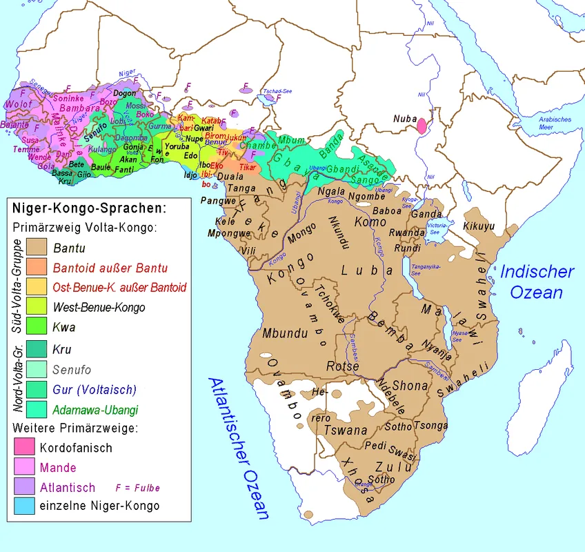
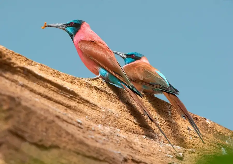
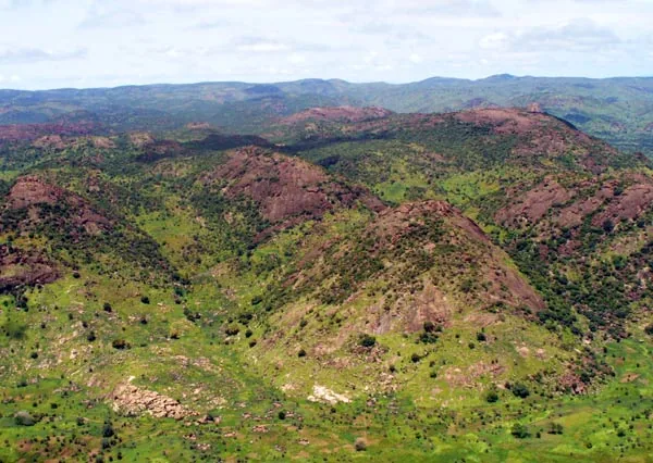
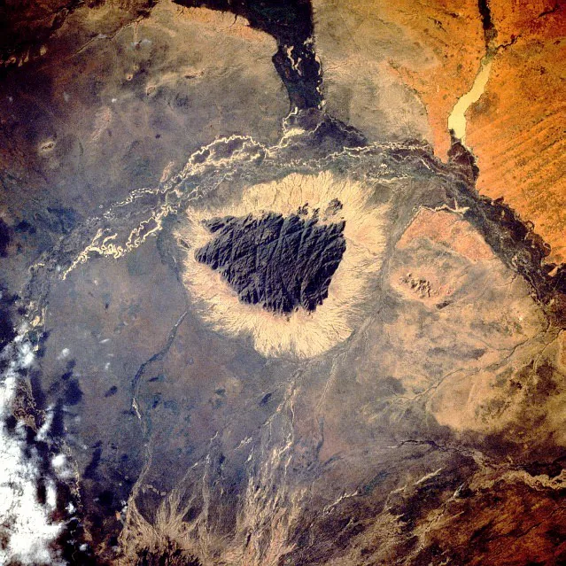
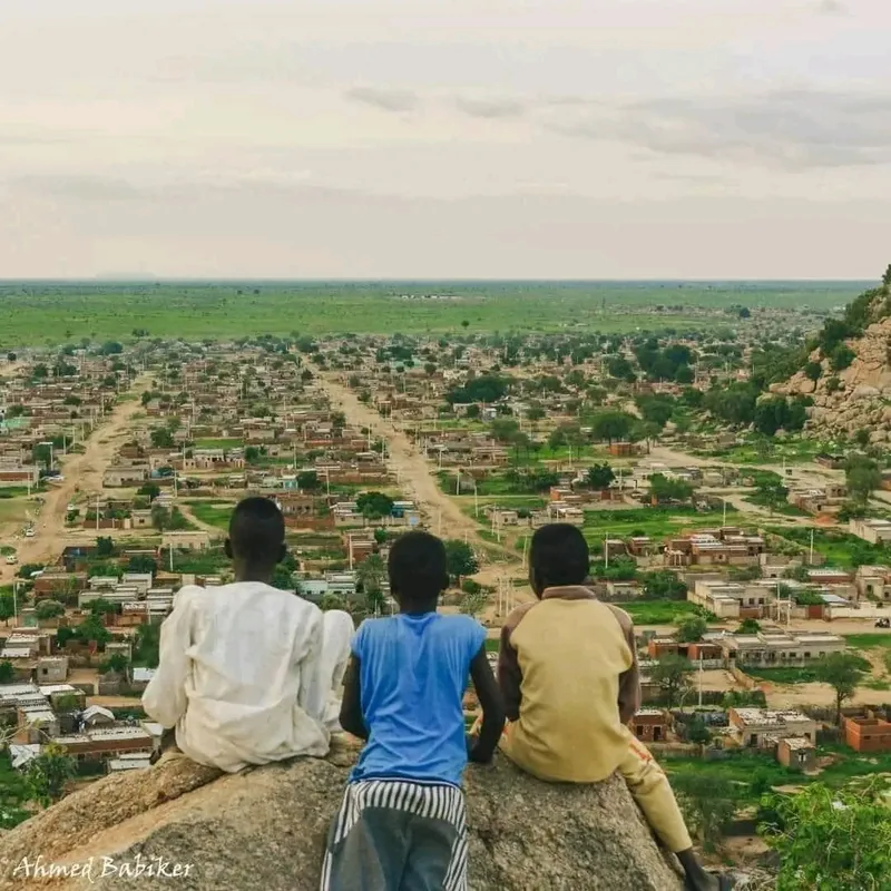
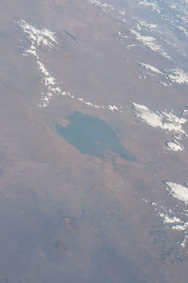
Jebel Dair is an isolated granite mountain in the North Kordofan state of Sudan, rising prominently above the surrounding semi-desert plains. The mountain reaches an elevation of about 1,451 meters and creates a unique microclimate that differs significantly from the hot surrounding environment. Due to its ecological importance, the area was designated a national park in 2010 to protect the region's rich biodiversity. The mountain serves as a vital water catchment area, with numerous springs and seasonal streams supporting local agriculture and wildlife. The flora consists of a mix of savanna plants and specialized mountain species, while the higher elevations are home to rare primates and antelope species such as the Greater Kudu. Historically, the mountain provided refuge for local communities during times of conflict and is deeply rooted in regional myths. In modern times, Jebel Dair is an important destination for ecological studies on the adaptability of ecosystems in arid zones. The preservation of this area is crucial for the stability of the regional water balance and the protection of Kordofan's last wilderness areas.
- Location: Sudan
- Nearby: Umm Ruwaba (75 km)
Best time to visit & climate
The most pleasant time to visit is Jan, Feb, Dec.
| Jan | Feb | Mar | Apr | May | Jun | Jul | Aug | Sep | Oct | Nov | Dec | |
|---|---|---|---|---|---|---|---|---|---|---|---|---|
| Avg °C | 22 | 25 | 28 | 31 | 32 | 31 | 28 | 27 | 28 | 29 | 26 | 23 |
| Rain mm | 0 | 0 | 0 | 2 | 27 | 53 | 120 | 134 | 81 | 39 | 0 | 0 |
📋 Practical info
Geography
Facts
- The mountain is primarily composed of Precambrian granitic rock.
- The highest peak of Jebel Dair reaches an elevation of 1,451 meters.
- The area was officially designated as a national park in 2010.
- It is home to an isolated population of the Greater Kudu antelope.
- Over 100 different plant species have been identified in the park area.
- The mountain acts as a natural water reservoir for North Kordofan.
Explore nearby
Notable places around
Route planner — Car & Motorhome
Where do you start? We build the route here, with stops and country notes along the way.
© OpenStreetMap contributors · OpenRouteService
Sights in the town Jebel Dair (1)
Sights nearby
Frequently asked questions
Are there marked hiking trails?
What is the best season for Jebel Dair?
Is it possible to stay overnight on the mountain?
Is the mountain region difficult to reach?
What do I need to bring?
Jebel Dair: where is it located?
Jebel Dair: when is the best time to visit?
Jebel Dair: why is it worth visiting?

Nearby cities
Nature
More places