Plizio Visual Lab
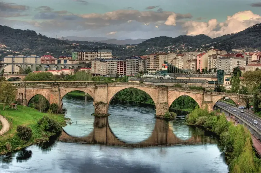
Tagus River
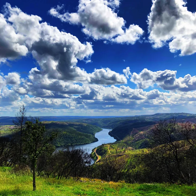
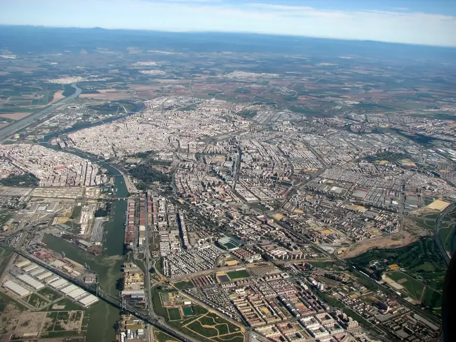
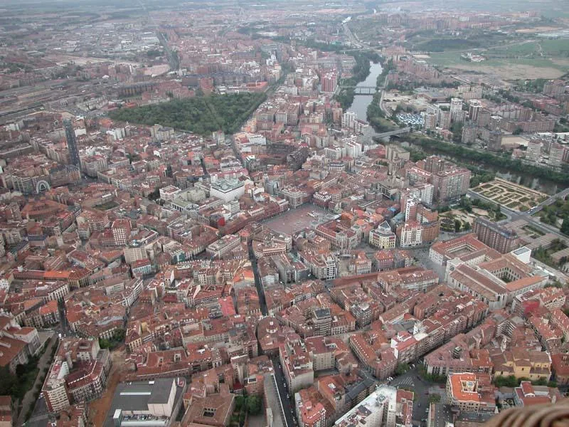
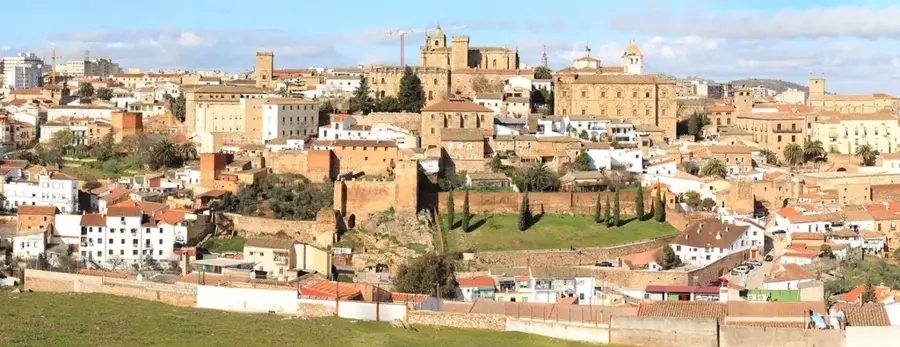
Extending for approximately 1,007 kilometers, the Tagus is the longest river on the Iberian Peninsula. It originates at an elevation of over 1,500 meters in the remote Montes Universales of the Sierra de Albarracín in Aragon. As it journeys westward across the Spanish central plateau, it carves magnificent gorges and broad valleys, most notably encircling the historic city of Toledo in a dramatic meander that served as a natural moat. The river's flow is heavily managed by a series of large dams and reservoirs that are crucial for hydroelectric power generation and providing essential water for agriculture in the parched regions of Castile. After crossing into Portugal, where it is known as the Tejo, it broadens into a massive estuary before emptying into the Atlantic Ocean near Lisbon, an estuarine ecosystem of critical importance to migratory waterfowl.
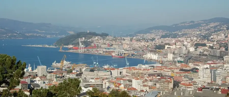
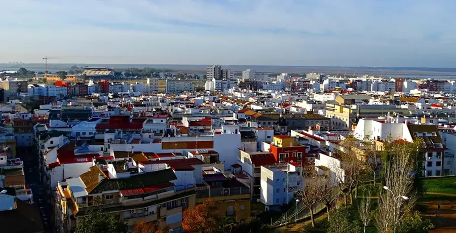
- Location: Galicia, Spain
- Top sights: Dolmen Joaninha · Museo Etnográfico El Casón del Cedillo · Núcleo Museológico do Contrabando
Best time to visit & climate
The most pleasant time to visit is Jun, Jul, Sep.
| Jan | Feb | Mar | Apr | May | Jun | Jul | Aug | Sep | Oct | Nov | Dec | |
|---|---|---|---|---|---|---|---|---|---|---|---|---|
| Avg °C | 7 | 8 | 11 | 13 | 17 | 22 | 26 | 26 | 23 | 17 | 11 | 7 |
| Rain mm | 82 | 69 | 84 | 71 | 47 | 19 | 7 | 8 | 37 | 111 | 103 | 81 |
📋 Practical info
Geography
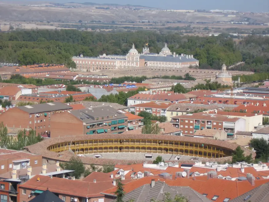
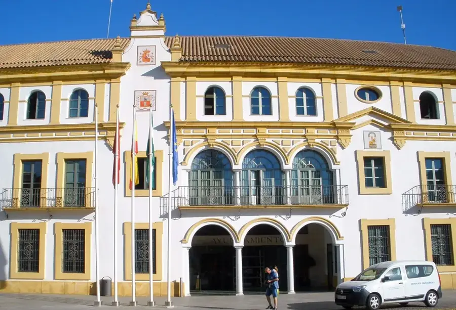
Explore nearby
Notable places around
Route planner — Car & Motorhome
Where do you start? We build the route here, with stops and country notes along the way.
© OpenStreetMap contributors · OpenRouteService
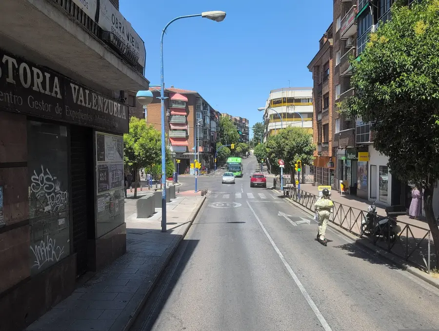
Sights in the town Tagus River (6)
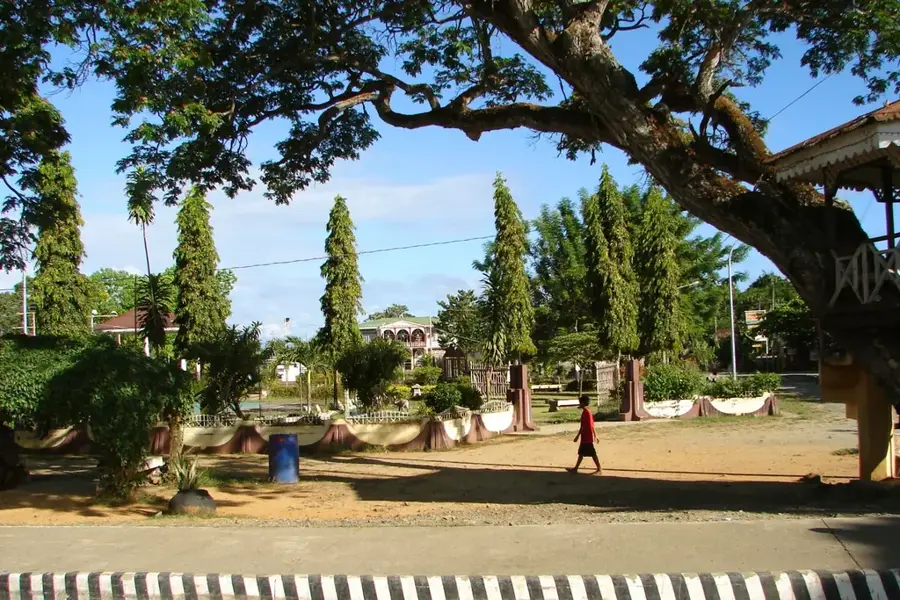
Sights nearby
Frequently asked questions
Is the Tagus the longest river on the peninsula?
Where does the Tagus rise?
Which capital cities does it flow through?
What is Monfragüe National Park?
Where does the Tagus flow out?
Tagus River: where is it located?
Tagus River: what is there to see?
Tagus River: when is the best time to visit?
Tagus River: why is it worth visiting?

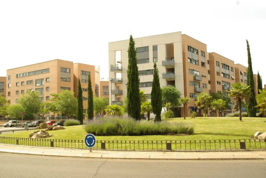
Nearby cities
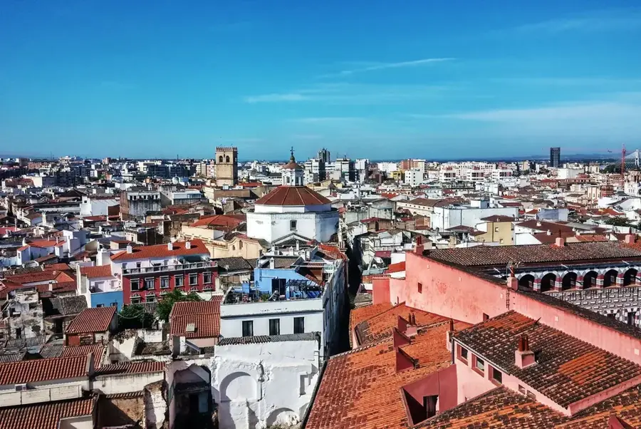

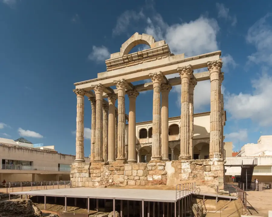
History & landmarks