Plizio Visual Lab
Penyagolosa
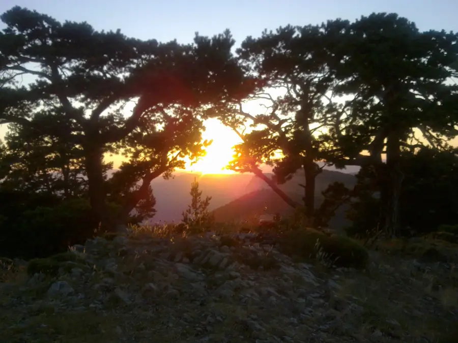
The Penyagolosa massif is the most iconic peak in the province of Castellón, often called the 'Stone Giant' of the Valencian Community. With its distinctive asymmetrical profile featuring a steep southern face and a gentler northern slope, the summit reaches an altitude of 1,813 meters. Geologically, the massif consists primarily of Cretaceous limestone, resulting in a rugged and craggy landscape. Protected as a natural park since 2006, the area is home to rich biodiversity, including forests of black pine and juniper. Culturally, Penyagolosa is considered a sacred mountain, serving as the destination for the medieval pilgrimage 'Els Pelegrins de les Useres,' a tradition that remains active today. The climate is significantly harsher than the nearby coast, with frequent snowfall during the winter months. From the summit, the panoramic view extends from the Ebro Delta to the Balearic Islands on clear days.
- Location: Galicia, Spain
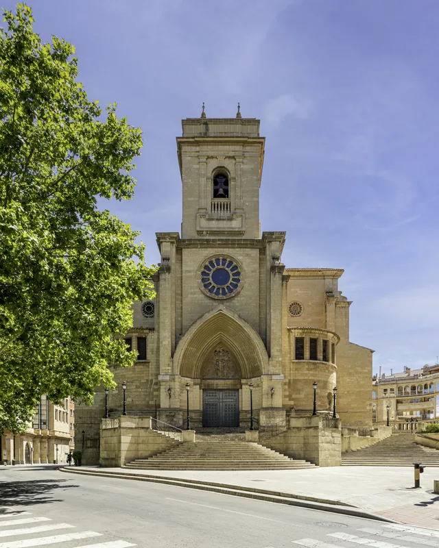
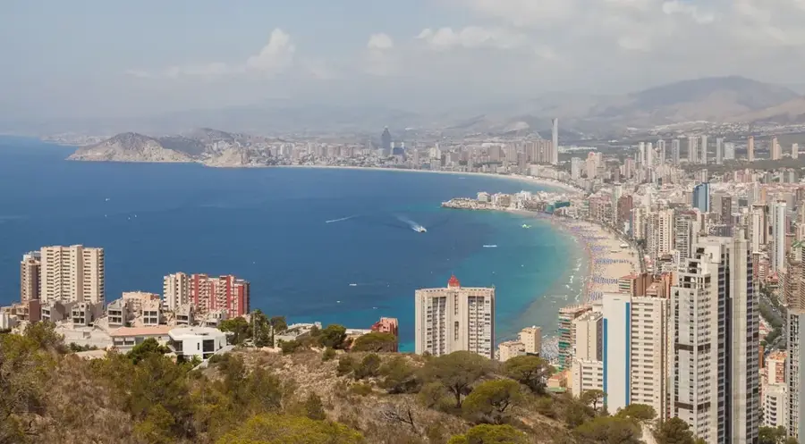
- Top sights: Parc Natural de Penyagolosa · Petroglifs de la Cambreta · Poblat Àrab del Marinet
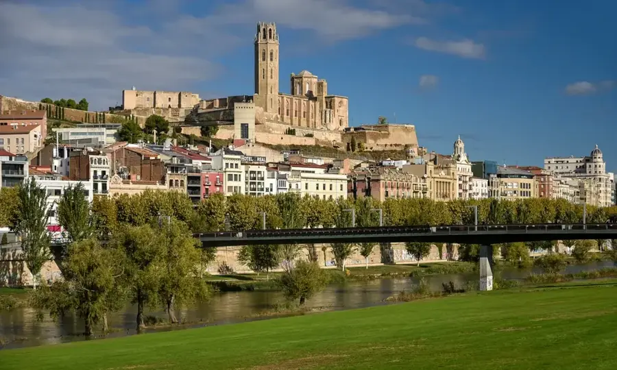
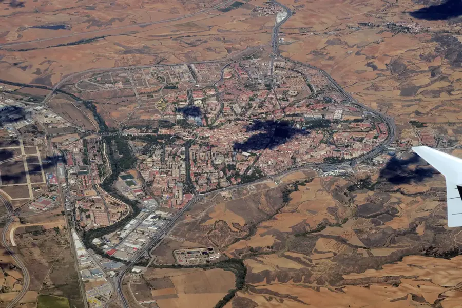
- Nearby: Onda (30 km)
Best time to visit & climate
The most pleasant time to visit is Jun–Aug.
| Jan | Feb | Mar | Apr | May | Jun | Jul | Aug | Sep | Oct | Nov | Dec | |
|---|---|---|---|---|---|---|---|---|---|---|---|---|
| Avg °C | 6 | 6 | 9 | 12 | 16 | 21 | 24 | 23 | 19 | 15 | 9 | 6 |
| Rain mm | 27 | 24 | 40 | 44 | 43 | 26 | 13 | 23 | 49 | 44 | 48 | 28 |
📋 Practical info
Geography
Facts
- Penyagolosa is the second-highest peak in the Valencian Community.
- The natural park covers an area of approximately 1,094 hectares.
- The southern face features a vertical drop of nearly 300 meters.
- The Sanctuary of Sant Joan de Penyagolosa is located at the mountain's base.
- Peregrine falcons and golden eagles nest in the mountain's cliffs.
- The local pilgrimage takes place annually on the last Friday of April.
Explore nearby
Notable places around
Route planner — Car & Motorhome
Where do you start? We build the route here, with stops and country notes along the way.
© OpenStreetMap contributors · OpenRouteService
Sights in the town Penyagolosa (7)
Sights nearby
Frequently asked questions
Why is Penyagolosa called the 'Stone Giant'?
Is there a monastery at the foot of the mountain?
Can you see the sea from the summit?
Are there drinking water sources on the way?
Is the climb dangerous in winter?
Penyagolosa: where is it located?
Penyagolosa: what is there to see?
Penyagolosa: when is the best time to visit?
Penyagolosa: why is it worth visiting?

Nearby cities