Plizio Visual Lab
Galician Massif
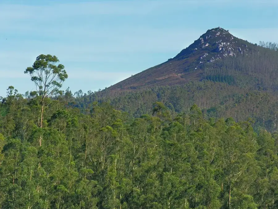
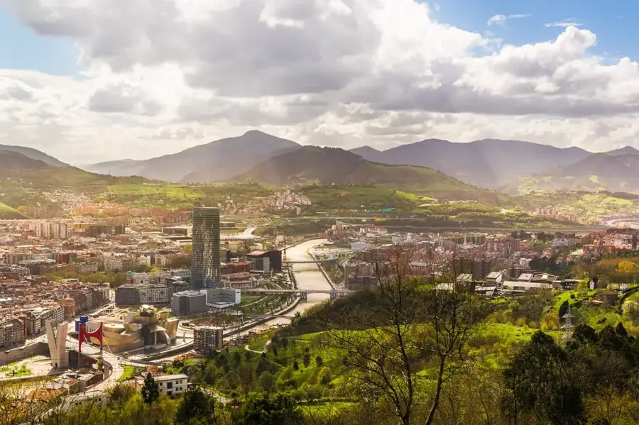
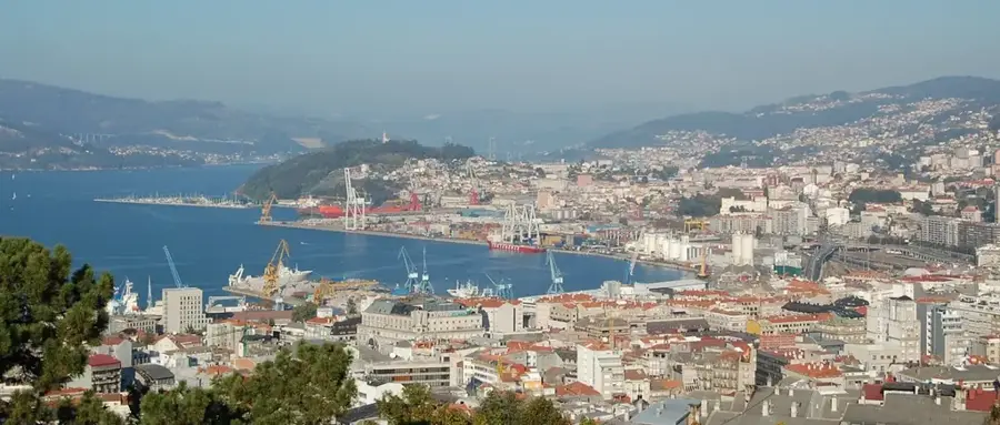
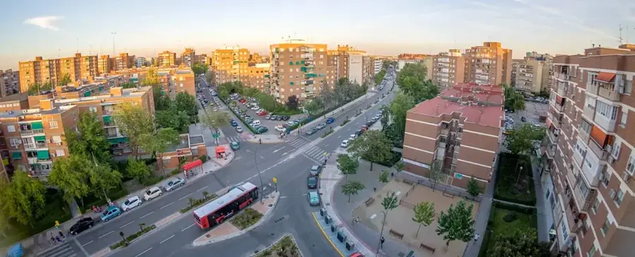
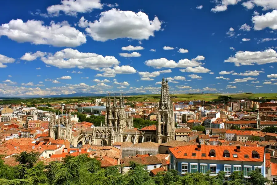
The Galician Massif, also known as Macizo Galaico, forms the heavily eroded northwestern cornerstone of the Iberian Peninsula, located primarily within the autonomous region of Galicia. It is an extremely ancient fold mountain range that was formed during the Variscan orogeny in the Paleozoic era and consists essentially of massive granites, gneisses, and mica schists. The highest peaks, such as the 2127-meter-high Pena Trevinca, exhibit gentle, heavily rounded forms that clearly testify to millions of years of severe weathering. One of the most defining features of this mountain region is the deep incision of countless river valleys, which on the coast has led to the formation of the famous "Rías", drowned river valleys that reach deep into the interior. Because the massif is directly exposed to the humid westerly winds coming from the Atlantic Ocean, it records extremely high amounts of precipitation. This ensures a lush green, dense vegetation with extensive oak and chestnut forests, which characterize the typical image of Galicia ("Green Spain").
- Location: Galicia, Spain
- Top sights: Torre de Vilar de Eiriz · Fortaleza de Pereira · Sepultura Antropomorfa Dobre de Fornas
- Nearby: Termas de Outariz (Ourense) (29 km)
Best time to visit & climate
The most pleasant time to visit is Jul–Sep.
| Jan | Feb | Mar | Apr | May | Jun | Jul | Aug | Sep | Oct | Nov | Dec | |
|---|---|---|---|---|---|---|---|---|---|---|---|---|
| Avg °C | 6 | 6 | 8 | 11 | 13 | 17 | 20 | 20 | 18 | 14 | 9 | 7 |
| Rain mm | 145 | 98 | 122 | 97 | 72 | 48 | 30 | 37 | 46 | 155 | 149 | 146 |
📋 Practical info
Geography
Explore nearby
Notable places around
Route planner — Car & Motorhome
Where do you start? We build the route here, with stops and country notes along the way.
© OpenStreetMap contributors · OpenRouteService
Sights in the town Galician Massif (5)
Sights nearby
Frequently asked questions
What characterizes the Galician Massif?
Is it very rainy there?
What is the highest point in Galicia?
Are there deep canyons there?
Is wine produced there?
Galician Massif: where is it located?
Galician Massif: what is there to see?
Galician Massif: when is the best time to visit?
Galician Massif: why is it worth visiting?

Nearby cities