Plizio Visual Lab
Zahara de la Sierra
ℹ️Practical info — Zahara de la Sierra
▾
🌤 Weather — 5 days
📍 Nearby
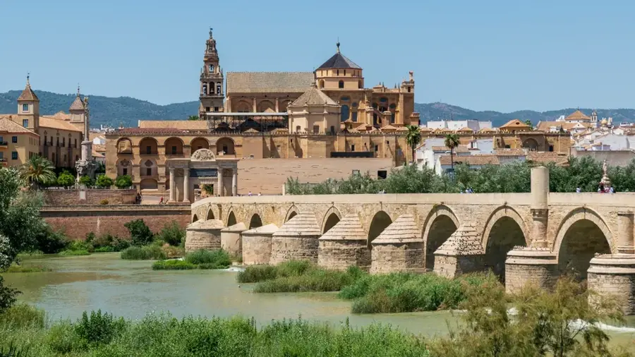
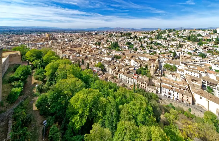
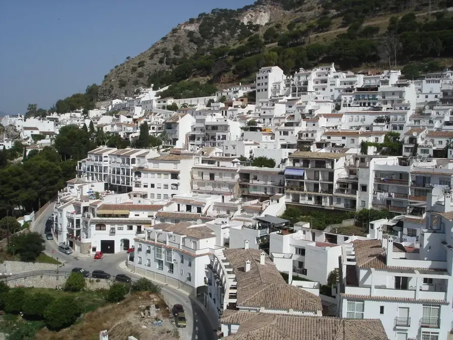
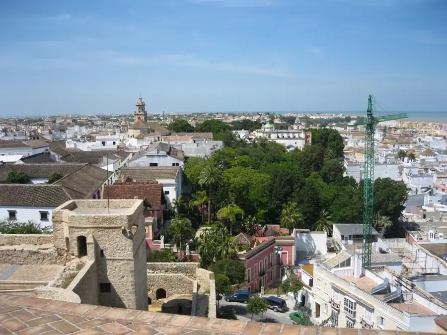
Sights nearby
💡 Tips
- The climb to the Nasrid castle is steep, but the 360-degree view of the reservoir and mountains is absolutely worth the effort.
- In summer, you can swim at 'La Playita', an artificial beach area by the reservoir. A welcome cool-down.
- Parking is very limited in the upper village. Use the car parks further down and walk up.
- Spend time in the Plaza Mayor. The view from its balustrade over the turquoise water is spectacular.
🍽 Food
The region is famous for its olive oil. Taste it at a local restaurant or buy a bottle directly from an oil mill ('almazara').
Being a mountain village, you'll find hearty stews made with venison (ciervo) or wild boar (jabalí) on many menus.
A local variation of gazpacho, a refreshing cold soup that's well-suited for hot days.
🛍 Shopping · 🧘 Quiet spots
Buy this liquid gold from one of the shops in the village stocking produce from the local mills.
Look for these traditional pastries filled with pumpkin jam in one of the bakeries. A sweet local speciality.
Walk down the paths towards the turquoise water. The perspective from the shore is peaceful and impressive.
Explore the quiet, flower-adorned lanes behind the main church, Santa María de la Mesa, away from the main square.
Water temperature…
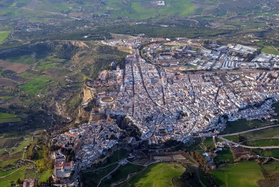
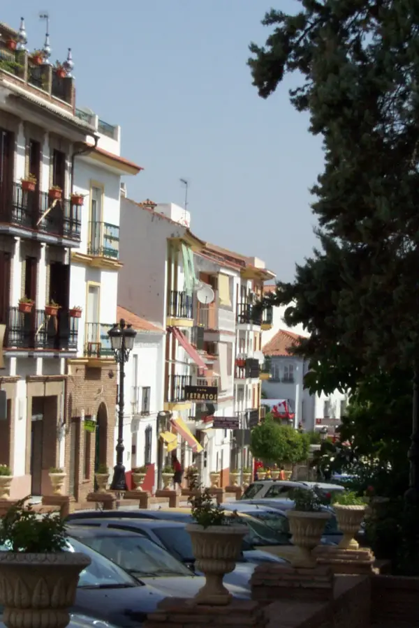
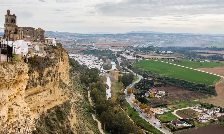
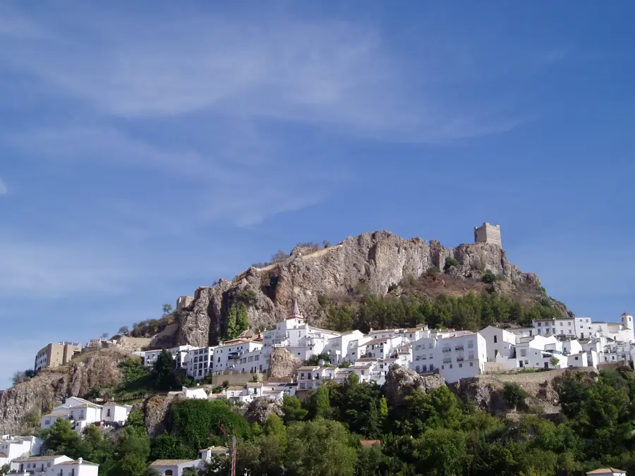
Zahara de la Sierra possesses one of the most wide-open settings in all of Spain. The village clings precariously to the side of a steep, craggy limestone mountain, its brilliant whitewashed houses cascading down the slope. Crowning the very top of this rocky outcrop stands the remains of a 13th-century Moorish fortress. The fortress was historically a crucial border stronghold between Christian and Islamic territories. From the ruined keep, visitors are rewarded with sweeping, panoramic views of the entire valley below. At the foot of the mountain lies the Zahara-El Gastor reservoir, a massive man-made lake whose animated, almost unnatural turquoise waters provide an incredible color contrast to the stark white buildings and rugged grey cliffs. During the hot Andalusian summers, the lake becomes a hub for outdoor recreation. The Playita de Arroyomolinos, an artificial beach created by diverting river water near the lake, is a beloved spot for swimming and picnicking under the shade of fruit trees. Reaching Zahara requires a scenic, winding drive through the Sierra de Grazalema, situated about 45 minutes from Ronda and 90 minutes from Sevilla. A visit usually involves steep walks up narrow, impeccably clean cobblestone streets adorned with orange trees. Once a year in June, the town transforms completely during the feast of Corpus Christi, when the streets are entirely covered with rushes and branches, and the houses are decorated with elaborate tapestries and lace.
- Location: Spain
- Top sights: La Playita · Fin de Sendero: La Bodega · Museo Parroquial
- Nearby: Grazalema (9 km)
- Population: ~1.571
Best time to visit & climate
The most pleasant time to visit is May, Jun, Sep.
| Jan | Feb | Mar | Apr | May | Jun | Jul | Aug | Sep | Oct | Nov | Dec | |
|---|---|---|---|---|---|---|---|---|---|---|---|---|
| Avg °C | 9 | 10 | 12 | 15 | 19 | 24 | 27 | 27 | 23 | 19 | 13 | 10 |
| Rain mm | 56 | 56 | 69 | 55 | 29 | 4 | 1 | 3 | 26 | 72 | 79 | 71 |
Geography
Facts
- Built on a steep limestone mountain side
- Overlooks the turquoise Zahara-El Gastor reservoir
- Crowned by a 13th-century Moorish castle
- Famous for elaborate Corpus Christi decorations
- Features the Playita artificial river beach
- A key border town during the Reconquista
- Located in the Sierra de Grazalema Park
- Streets are lined with fragrant orange trees
Explore nearby
Notable places around
Route planner — Car & Motorhome
Where do you start? We build the route here, with stops and country notes along the way.
© OpenStreetMap contributors · OpenRouteService
Sights in the town Zahara de la Sierra (7)
Frequently asked questions
What is the landmark of Zahara?
Can you swim in the reservoir?
How strenuous is the climb to the castle?
When is the Corpus Christi festival?
What is the typical dish?
Zahara de la Sierra: where is it located?
Zahara de la Sierra: what is there to see?
Zahara de la Sierra: when is the best time to visit?
Zahara de la Sierra: why is it worth visiting?

Nearby cities