Plizio Visual Lab
Swartberg
Weather…
Water temperature…
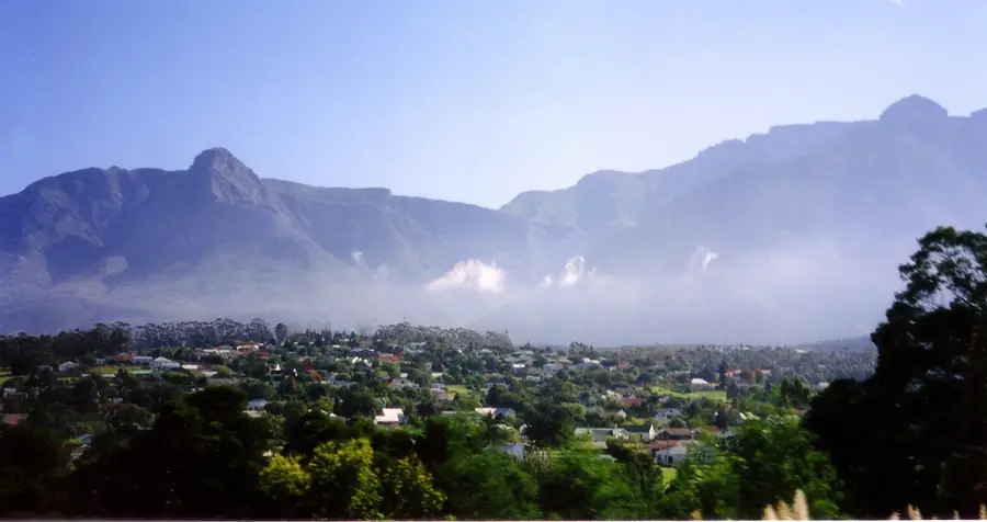
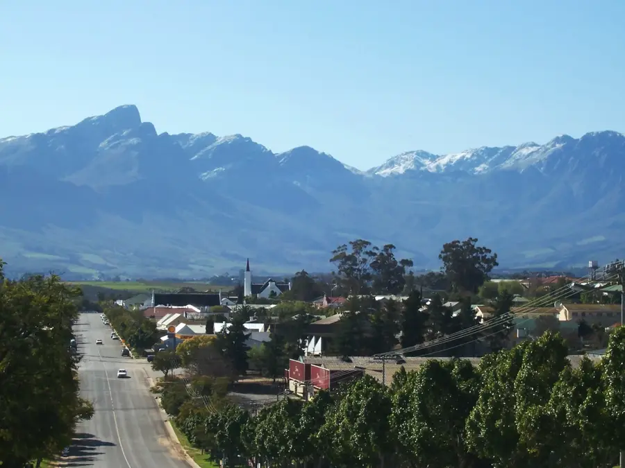
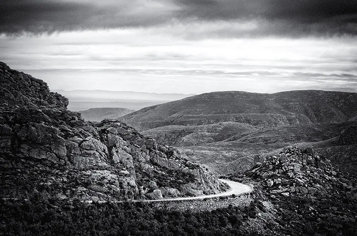
The Swartberg Mountains are a majestic range in South Africa, forming the formidable barrier between the Little Karoo and the Great Karoo. Geologically, the range is composed primarily of Table Mountain Group sandstone and is world-renowned for its dramatic rock foldings and sheer cliffs. Stretching approximately 230 kilometers, the range features some of the highest peaks in the Western Cape province. A crowning achievement of the region is the Swartberg Pass, constructed in the late 19th century by Thomas Bain, which remains an unpaved marvel of dry-stone engineering. The mountains are part of the Cape Floral Region UNESCO World Heritage Site due to their extraordinary diversity of fynbos vegetation. Deep within the limestone foothills lie the famous Cango Caves, one of the world's finest dripstone cavern systems. The Swartberg serves as a critical watershed, supplying essential water to the arid valleys of the Karoo. The area is also a vital sanctuary for the Cape mountain zebra and various raptor species, while the pass gives panoramic views of ancient geological formations.
- Location: South Africa
- Top sights: Teeberg · Waboomsberg · Die Top
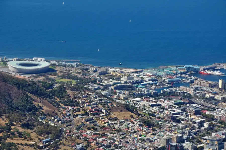
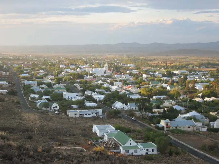
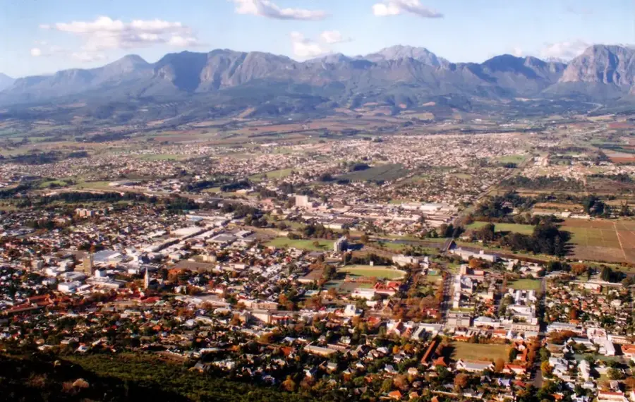
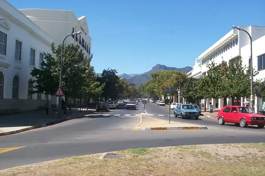
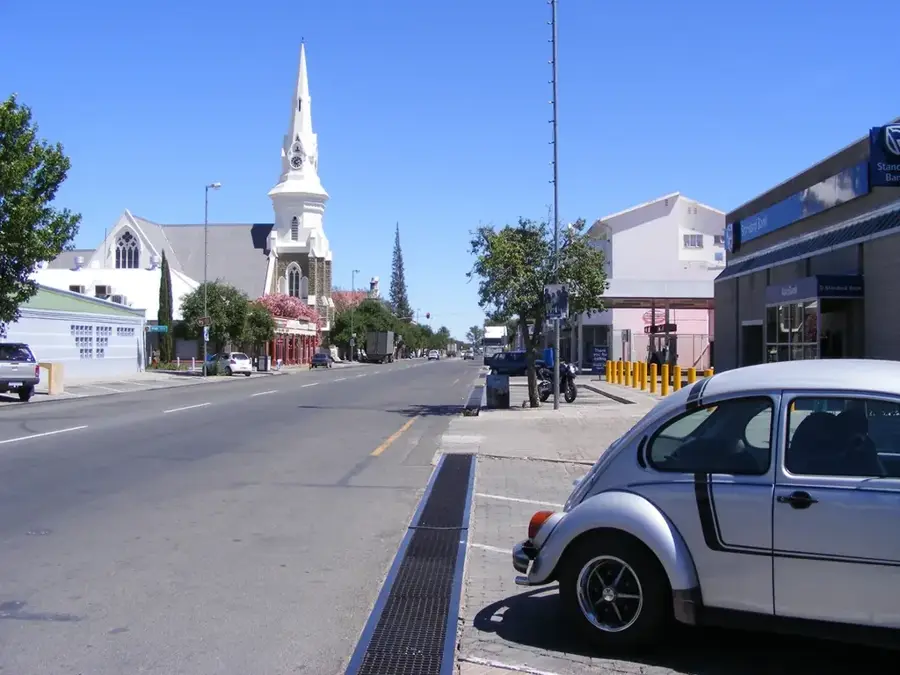
- Nearby: Oudtshoorn (37 km)
Best time to visit & climate
The most pleasant time to visit is Jan, Mar, Dec.
| Jan | Feb | Mar | Apr | May | Jun | Jul | Aug | Sep | Oct | Nov | Dec | |
|---|---|---|---|---|---|---|---|---|---|---|---|---|
| Avg °C | 23 | 23 | 21 | 17 | 14 | 11 | 10 | 11 | 14 | 17 | 19 | 21 |
| Rain mm | 32 | 36 | 42 | 41 | 27 | 31 | 32 | 43 | 25 | 40 | 46 | 33 |
📋 Practical info
Geography
Facts
- The Swartberg Pass was officially opened to traffic in 1888.
- The highest peak in the range is Seweweekspoortpiek, at 2,325 meters.
- Thomas Bain constructed the pass using the labor of convict workers.
- The Cango Caves are located within the limestone foothills of the range.
- Large sections of the mountains are protected within the Swartberg Nature Reserve.
- The geological rock folds are considered among the best exposed in the world.
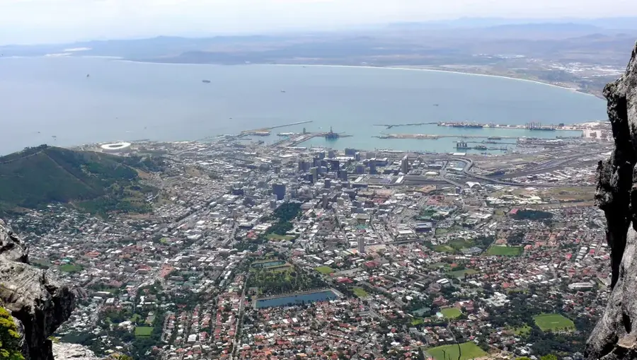
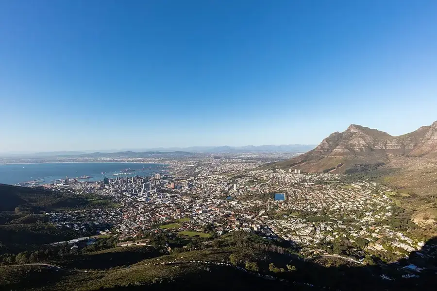
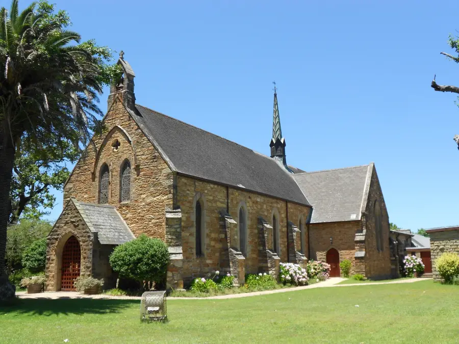
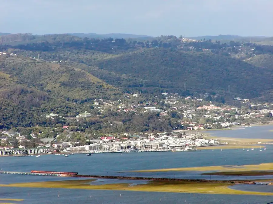
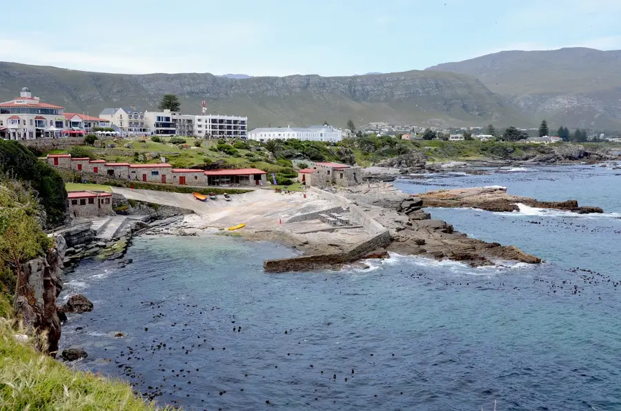
Explore nearby
Notable places around
Route planner — Car & Motorhome
Where do you start? We build the route here, with stops and country notes along the way.
© OpenStreetMap contributors · OpenRouteService
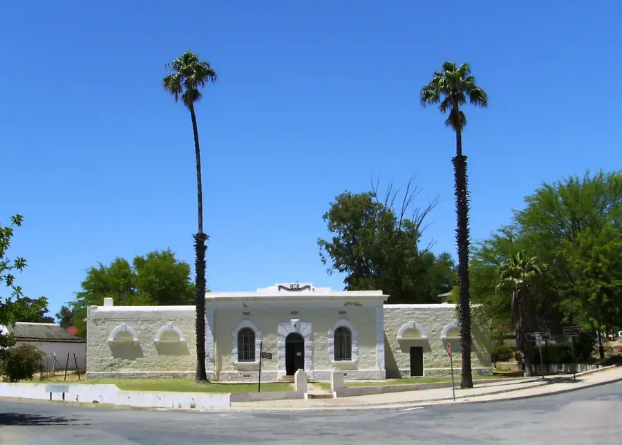
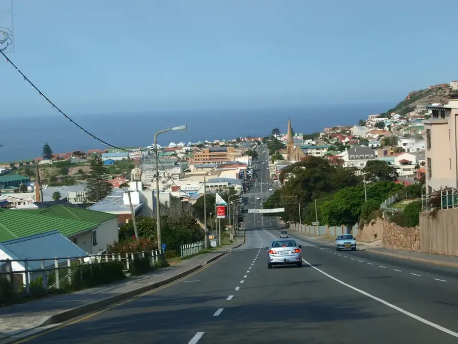
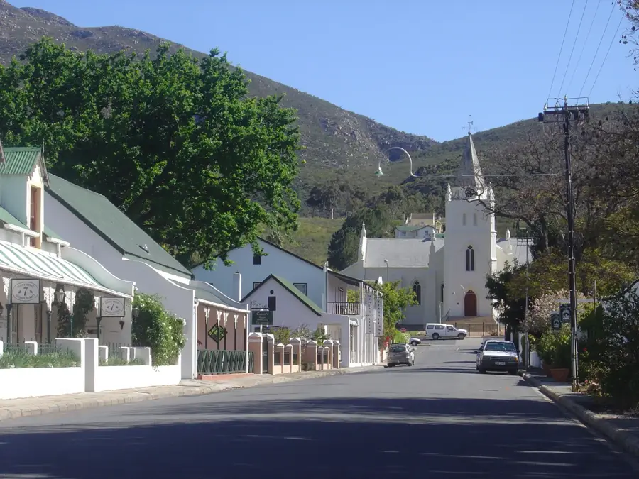
Sights in the town Swartberg (5)
Sights nearby
Frequently asked questions
How do you get over the Swartberg Pass?
What is the highlight nearby?
Is the road suitable for motorhomes?
What is the best time of day?
Is there accommodation there?
Swartberg: where is it located?
Swartberg: what is there to see?
Swartberg: when is the best time to visit?
Swartberg: why is it worth visiting?

Nearby cities


History & landmarks