Plizio Visual Lab
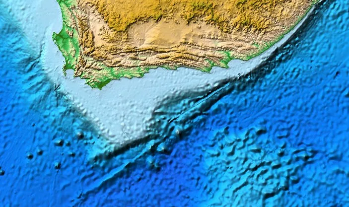
Cape Agulhas
Weather…
Water temperature…
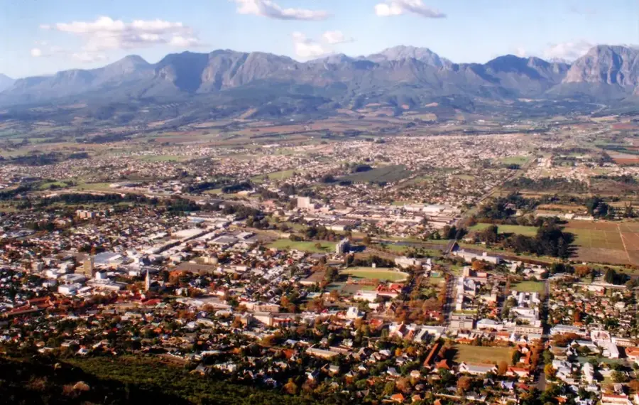
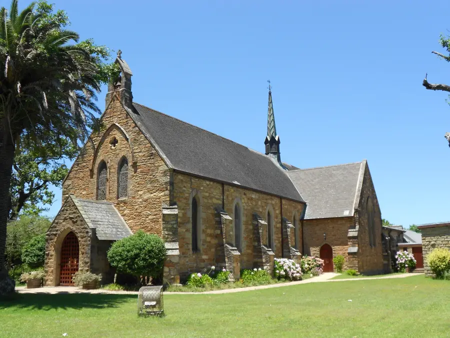
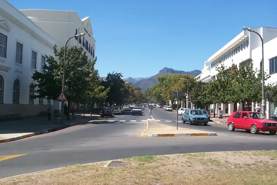
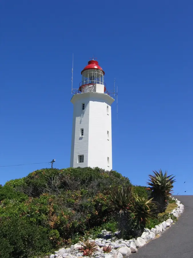
Cape Agulhas is the true southernmost geographic point of the African continent and the official dividing line between the Atlantic and Indian Oceans. Unlike the more famous Cape of Good Hope, Cape Agulhas is a relatively low-lying, rocky headland, yet it holds immense global nautical and geographical significance. Its name is derived from the Portuguese word for 'needles', as early navigators discovered that compass needles showed no magnetic deviation here, pointing directly to true north. The coastline is notorious for its treacherous submerged reefs and violent storms, which have claimed over 150 shipwrecks throughout history. A prominent landmark is the Cape Agulhas Lighthouse, constructed in 1848 and modeled after the ancient Pharos of Alexandria, which now operates as a maritime museum. The surrounding region is protected within the Agulhas National Park, established to conserve the unique fynbos vegetation and fragile coastal ecosystems. The confluence of the cold Benguela Current and the warm Agulhas Current here creates a highly productive marine environment with exceptional biodiversity. Visitors can stand at the official monument marking the junction of the oceans and experience the raw beauty of this historic and geographical extremity of Africa.
- Location: South Africa
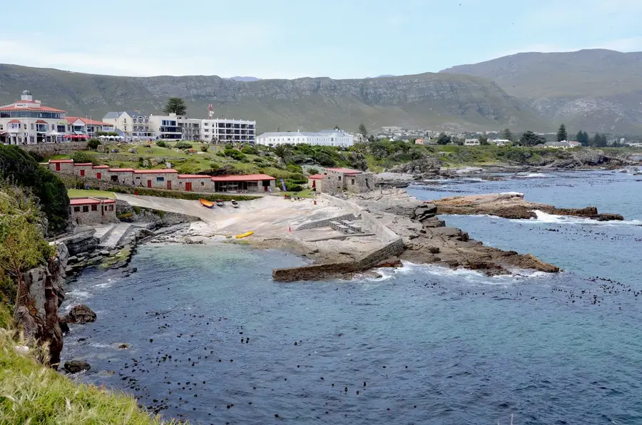
- Top sights: Stingray at the Harbour · Relaxtion Area
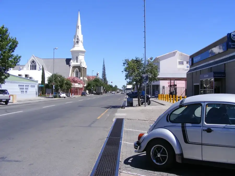
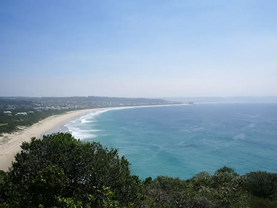
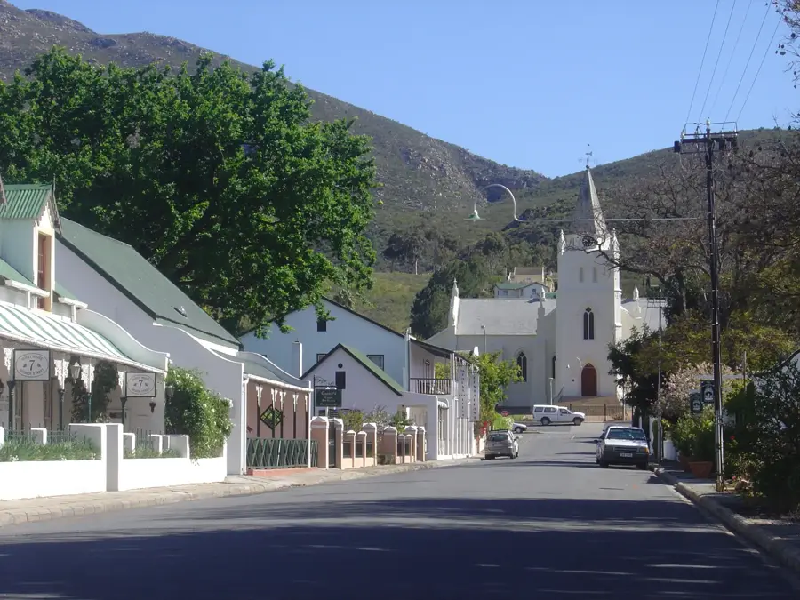
- Nearby: Arniston (26 km)
Best time to visit & climate
The most pleasant time to visit is Jan, Feb, Dec.
| Jan | Feb | Mar | Apr | May | Jun | Jul | Aug | Sep | Oct | Nov | Dec | |
|---|---|---|---|---|---|---|---|---|---|---|---|---|
| Avg °C | 21 | 21 | 20 | 18 | 17 | 15 | 15 | 15 | 15 | 17 | 18 | 20 |
| Rain mm | 25 | 22 | 34 | 41 | 45 | 67 | 65 | 59 | 37 | 36 | 36 | 22 |
📋 Practical info
Geography
Facts
- Geographical southernmost tip of the African continent.
- Official boundary between the Atlantic and Indian Oceans.
- The lighthouse was built in 1848, modeled on the Pharos.
- Named by sailors because compass needles showed no deviation.
- Site of over 150 documented historical shipwrecks.
- Part of the 56,000-hectare Agulhas National Park.
Explore nearby
Notable places around
Route planner — Car & Motorhome
Where do you start? We build the route here, with stops and country notes along the way.
© OpenStreetMap contributors · OpenRouteService
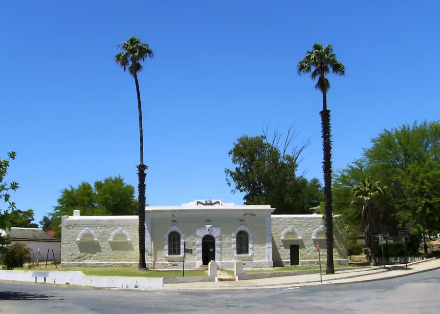
Sights in the town Cape Agulhas (2)
Sights nearby
Frequently asked questions
What is special about Cape Agulhas?
Is there a lighthouse?
Is the place windy?
Can you swim there?
Are there nearby towns?
Cape Agulhas: where is it located?
Cape Agulhas: what is there to see?
Cape Agulhas: when is the best time to visit?
Cape Agulhas: why is it worth visiting?

Nearby cities

History & landmarks