Plizio Visual Lab
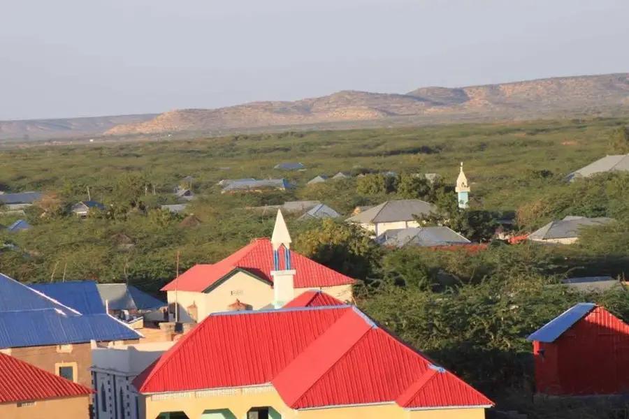
Beledweyne
ℹ️Practical info — Beledweyne
▾
🌤 Weather — 5 days
📍 Nearby
Sights nearby
💡 Tips
- The city is split by the Shabelle River, use the main bridges but expect traffic.
- Visit the local livestock market early in the morning for a bustling cultural experience.
- Check security conditions before traveling, as regional stability can fluctuate.
- Try to exchange currency in reputable local spots rather than on the street.
🍽 Food
A local delicacy often roasted or stewed, found in central eateries.
The spongy, sour Somali flatbread that is essential for a traditional breakfast.
A sweet, milky tea brewed with cardamom and cloves, available at local tea stalls.
🛍 Shopping · 🧘 Quiet spots
Locally sourced resins widely sold at the central market stalls.
Look for colorful macawis and dirac garments in the fabric quarter.
Best visited at dawn for a quiet start to the day before the city wakes up.
Venture slightly out towards the plains for uninterrupted horizon views.
Water temperature…
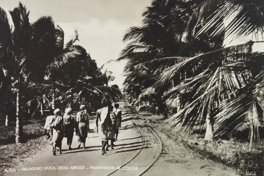
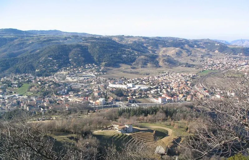
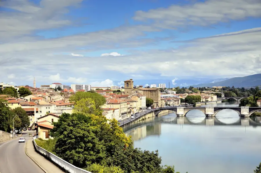
Beledweyne is the capital of the Hiran region in central Somalia, located approximately 340 kilometers north of Mogadishu. The city is geographically divided by the Shebelle River, which provides a vital water source for the surrounding agriculture but also causes regular severe flooding. Beledweyne is situated near the Ethiopian border and serves as a major transit point for goods moving between the two countries. Historically, the city played a central role during the Dervish resistance movement under Sayyid Mohammed Abdullah Hassan in the early 20th century. The city is also notable as the birthplace of the first Somali president, Aden Abdullah Osman Daar. The climate is hot and dry with semi-arid conditions, with riverine agriculture being the primary livelihood. Its strategic location makes Beledweyne a key military and administrative center in central Somalia.
- Location: Somalia
- Top sights: Shebelle Valley · Garowe attack
- Nearby: Bulo Burti (80 km)
- Population: ~55.410 (2026)
Best time to visit & climate
The most pleasant time to visit is Jan, Jul, Dec.
| Jan | Feb | Mar | Apr | May | Jun | Jul | Aug | Sep | Oct | Nov | Dec | |
|---|---|---|---|---|---|---|---|---|---|---|---|---|
| Avg °C | 27 | 28 | 30 | 30 | 29 | 28 | 27 | 28 | 29 | 28 | 27 | 26 |
| Rain mm | 2 | 3 | 16 | 100 | 39 | 11 | 6 | 15 | 16 | 118 | 104 | 17 |
Geography
Facts
- Located on both banks of the Shebelle River
- Birthplace of President Aden Abdullah Osman Daar
- Major trading point near the Ethiopian border
- Situated at an elevation of 180 meters
- Climate is classified as hot semi-arid
- Central site of the Dervish resistance (1900-1920)
Explore nearby
Notable places around
Route planner — Car & Motorhome
Where do you start? We build the route here, with stops and country notes along the way.
© OpenStreetMap contributors · OpenRouteService
Sights in the town Beledweyne (2)
Frequently asked questions
What is the heart of Beledweyne?
Can one visit the city?
What do the locals live off?
When is the area particularly vulnerable?
Are there sights in the surroundings?
Beledweyne: where is it located?
Beledweyne: what is there to see?
Beledweyne: when is the best time to visit?
Beledweyne: why is it worth visiting?

Nearby cities