Plizio Visual Lab
Valle dell'Ausa
Weather…
Water temperature…
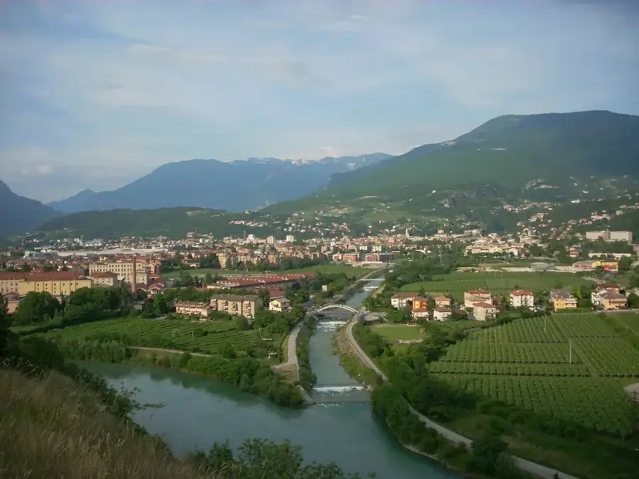
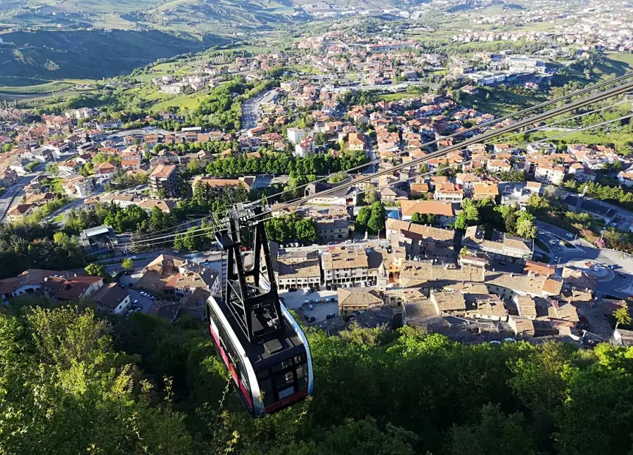
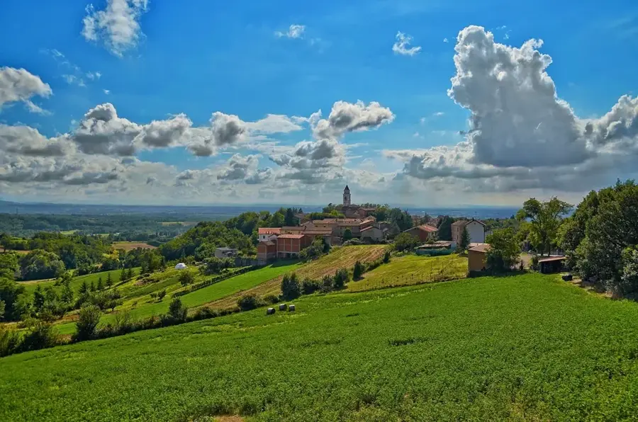
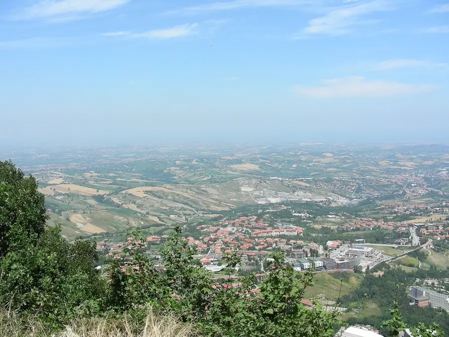
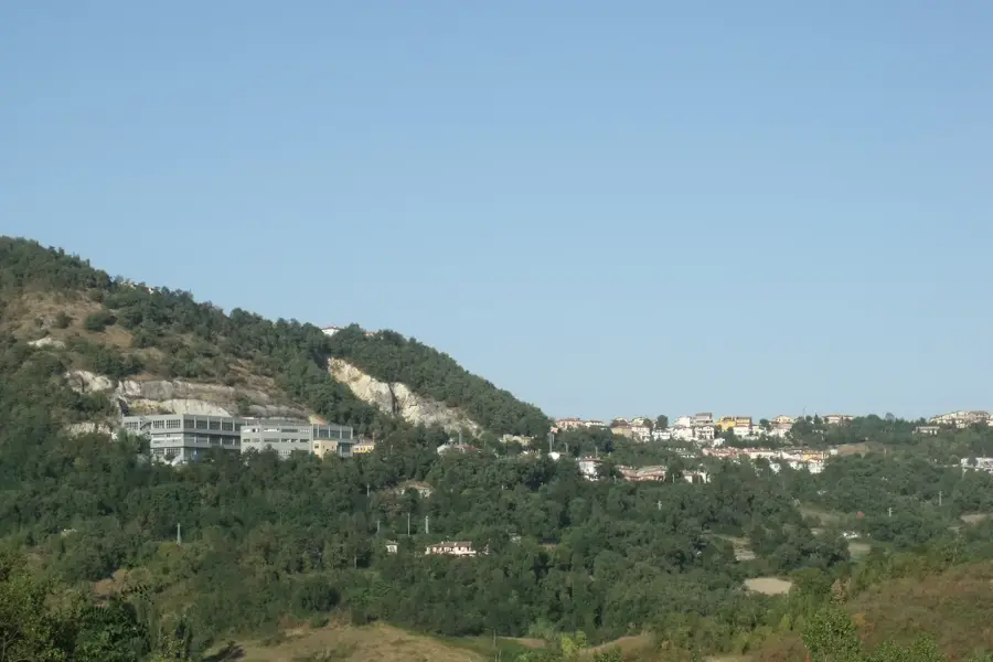
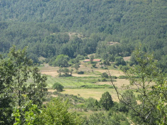
Valle dell'Ausa is one of the most important valley systems in San Marino, carved by the Ausa stream which originates on the slopes of Monte Titano. The valley extends through the municipalities of Borgo Maggiore, Domagnano, and Serravalle before crossing into the Italian province of Rimini. Historically, the valley served as the primary corridor for trade and transportation between San Marino's hills and the Adriatic coast. In the lower part of the valley, particularly in Dogana, most of the republic's industrial and commercial activities are concentrated today. The Ausa river has a length of approximately 8 kilometers within Sammarinese territory and is fed by numerous small brooks. Modern infrastructure, including the main highway (Superstrada), follows the natural contour of the valley floor, connecting San Marino with the Italian A14 motorway. Geologically, the valley is characterized by Quaternary deposits and alluvial soils, providing fertile conditions for agriculture in the peripheral areas. Valle dell'Ausa thus represents the republic's vital link to the outside world and is the engine of the Sammarinese economy.
- Location: San Marino
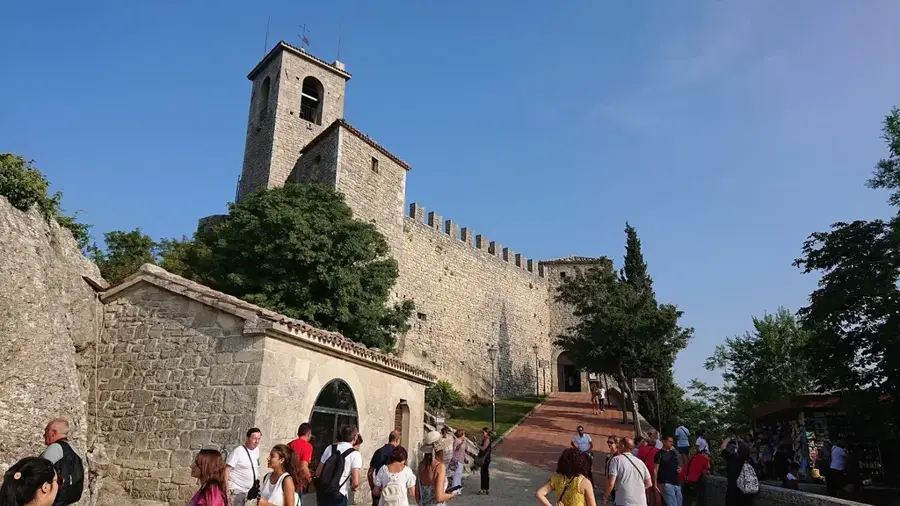
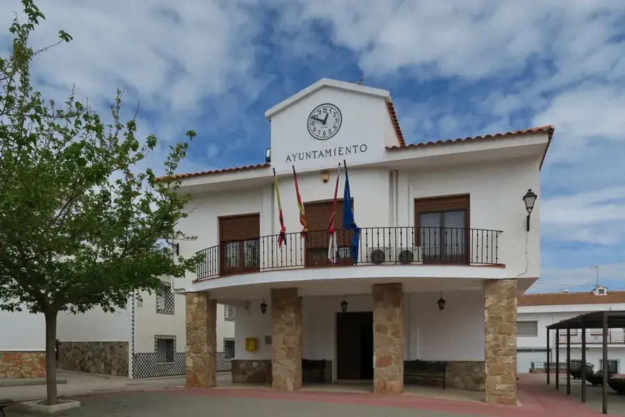
- Top sights: Chiesa Sant'Andrea · Oasi WWF Cà Brigida · Eugenio Pazzini
- Nearby: Montegiardino di Sotto (4 km)
Best time to visit & climate
The most pleasant time to visit is Jun, Jul, Sep.
| Jan | Feb | Mar | Apr | May | Jun | Jul | Aug | Sep | Oct | Nov | Dec | |
|---|---|---|---|---|---|---|---|---|---|---|---|---|
| Avg °C | 6 | 6 | 9 | 13 | 17 | 22 | 25 | 25 | 20 | 16 | 11 | 7 |
| Rain mm | 55 | 71 | 69 | 63 | 69 | 46 | 38 | 47 | 79 | 79 | 88 | 68 |
📋 Practical info
Geography
Facts
- The Ausa river originates at Monte Titano.
- The river's length in San Marino is about 8 km.
- Flows through Borgo Maggiore, Domagnano, and Serravalle.
- Location of the main industrial zone in Dogana.
- Route of the historic Rimini-San Marino railway.
- The main highway (Superstrada) runs through the valley.
Explore nearby
Notable places around
Route planner — Car & Motorhome
Where do you start? We build the route here, with stops and country notes along the way.
© OpenStreetMap contributors · OpenRouteService
Sights in the town Valle dell'Ausa (7)
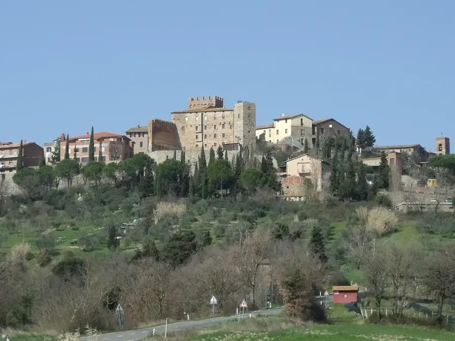
Rocca Malatestiana🏰 castle
The Malatesta fortress in Verucchio, Italy, a medieval castle.
Chiesa Della Santa Croce
A church in Villa Verucchio, municipality of Verucchio (RN).
Museo Civico Archeologico🏛 museum
Archaeological museum in Verucchio, Italy, with local finds.
Sights nearby
Frequently asked questions
Is the Ausa valley densely populated?
Are there green zones there?
Can you go cycling there?
Does the valley connect San Marino with Italy?
Is it foggy there in winter?
Valle dell'Ausa: where is it located?
Valle dell'Ausa: what is there to see?
Valle dell'Ausa: when is the best time to visit?
Valle dell'Ausa: why is it worth visiting?

Nearby cities