Plizio Visual Lab
Casole
ℹ️Practical info — Casole
▾
🌤 Weather — 5 days
📍 Nearby
Sights nearby
💡 Tips
- This hilly, agricultural area is first-rate for morning walks when the light is best.
- Bring comfortable walking shoes, as the local roads and terrain can be uneven.
- Look out for small local farms and vineyards scattered along the country roads.
- It's a great spot for cycling if you enjoy challenging routes away from the main traffic.
🍽 Food
Grab a fresh, warm flatbread filled with cheese and cold cuts from a rustic local eatery or kiosk.
Try local dishes dressed with the excellent olive oil produced in the agricultural areas of San Marino.
A simple milk and egg dessert you might find in traditional countryside menus.
🛍 Shopping · 🧘 Quiet spots
Check if small local farms sell seasonal fruits, vegetables, or honey directly to visitors.
Visit larger nearby markets for cured meats and cheeses typical of the region.
Walk along the unpaved paths connecting the fields for a deeply relaxing experience.
Find a safe spot along the hilly roads to admire the sweeping views over the fields.
Water temperature…
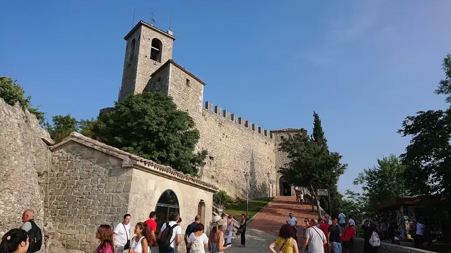
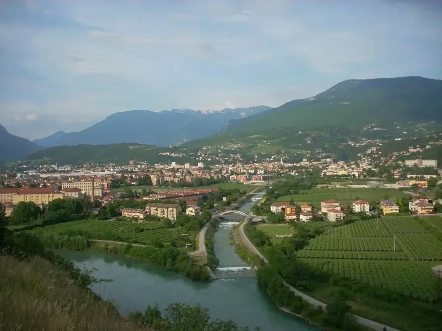
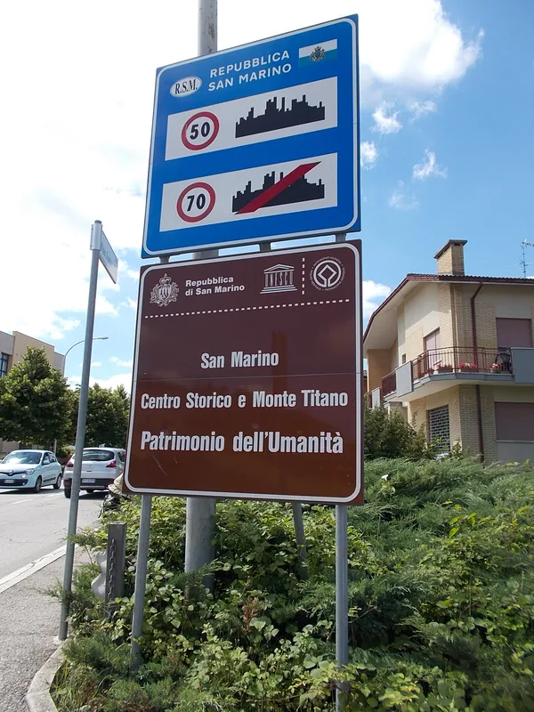
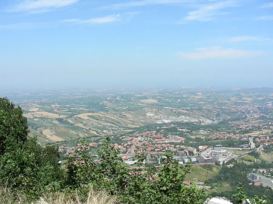
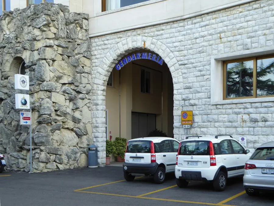
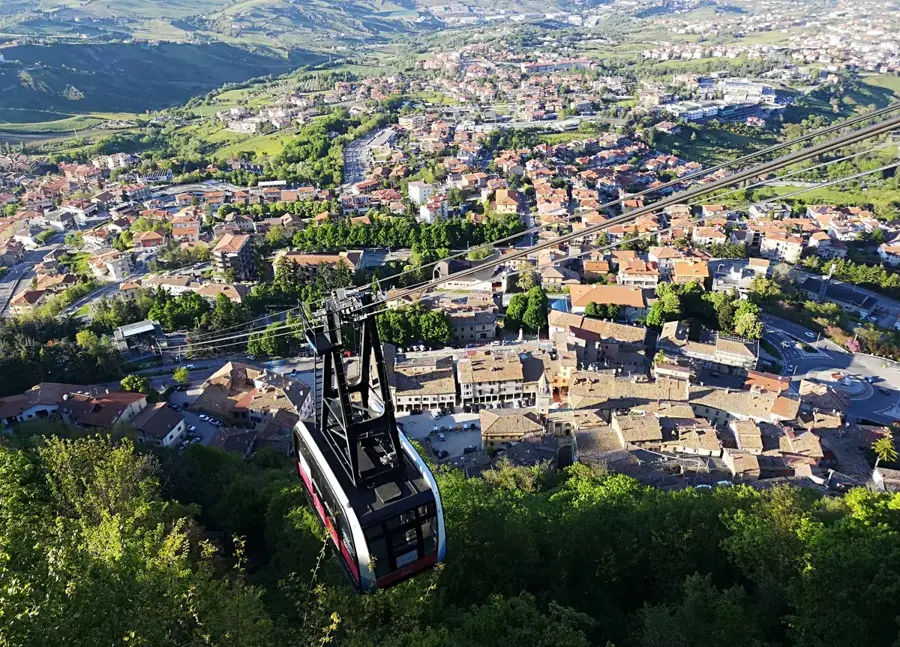
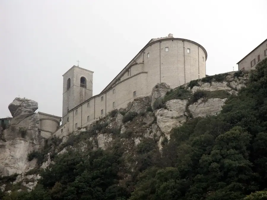
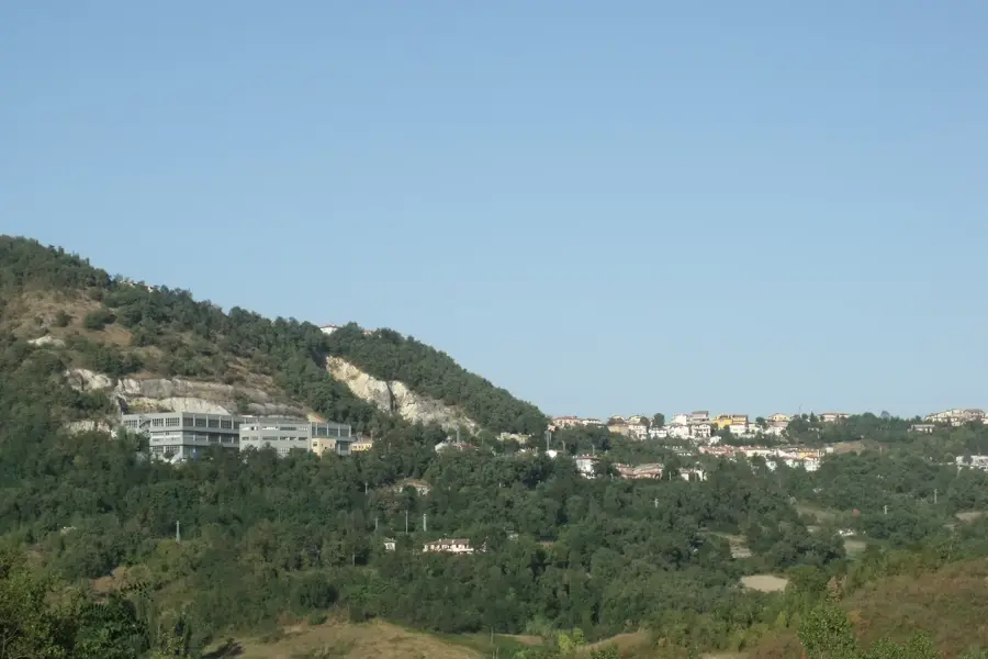
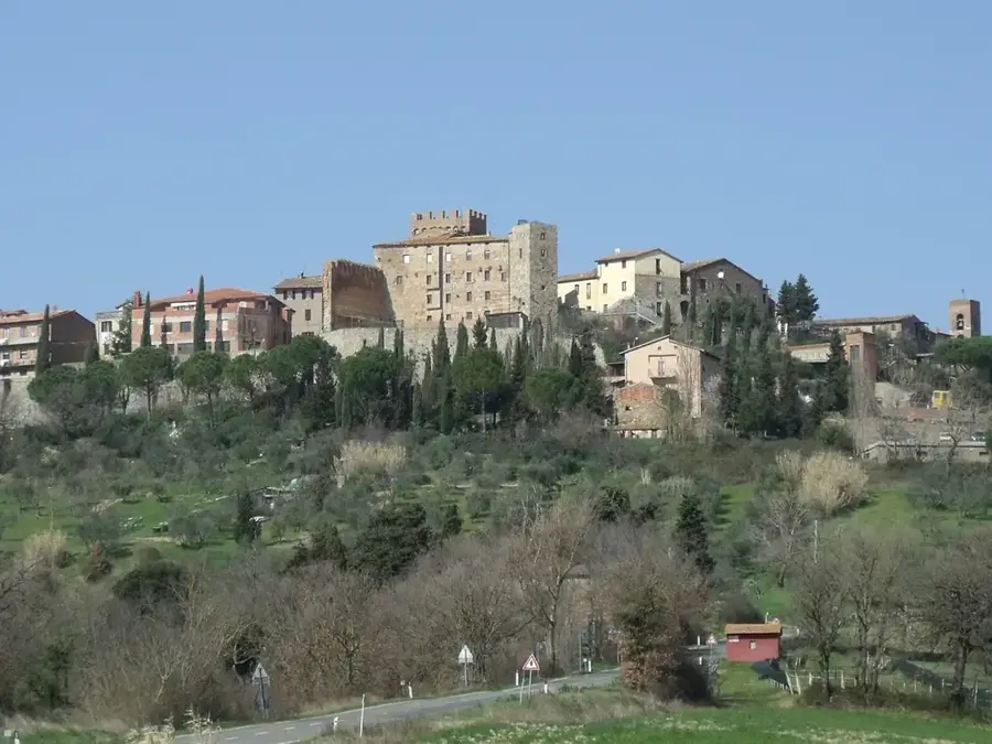
Casole is a locality in the castello of Città di San Marino, not far from the center of the capital. This place holds deep historical significance as one of the original rural 'villas' that formed the surroundings of the fortress. The architecture of Casole is characterized by carefully restored stone houses that reflect San Marino's medieval style. Geographically, Casole is situated on the slopes of Mount Titano and features a wide panoramic view extending to the Adriatic coast. The area is now a sought-after residential neighborhood that combines tranquility and proximity to nature with accessibility to government and cultural institutions. Numerous hiking trails pass through historic forested areas in the vicinity. Casole exemplifies the quality of life in the republic, where history and modernity stand in harmony.
- Location: San Marino
- Nearby: Gualdicciolo di Sotto (4 km)
- Population: ~6.983
Best time to visit & climate
The most pleasant time to visit is Jun, Jul, Sep.
| Jan | Feb | Mar | Apr | May | Jun | Jul | Aug | Sep | Oct | Nov | Dec | |
|---|---|---|---|---|---|---|---|---|---|---|---|---|
| Avg °C | 6 | 6 | 9 | 13 | 17 | 22 | 25 | 25 | 20 | 16 | 11 | 7 |
| Rain mm | 55 | 71 | 69 | 63 | 69 | 46 | 38 | 47 | 79 | 79 | 88 | 68 |
Geography
Facts
- Considered one of the oldest inhabited zones outside the city walls.
- Situated at an elevation of approximately 550 meters.
- The name likely derives from the Latin 'Casulae' (small houses).
- Located near the Mount Titano nature reserve.
- The settlement is connected to the first fortress (Guaita) via historic paths.
- Known for the preservation of traditional stonemasonry on the facades.
Explore nearby
Notable places around
Route planner — Car & Motorhome
Where do you start? We build the route here, with stops and country notes along the way.
© OpenStreetMap contributors · OpenRouteService
Frequently asked questions
What is Casole?
Are there events in Casole?
Is parking available in Casole?
Is Casole suitable for children?
How far is it from Casole to the capital center?
Casole: where is it located?
Casole: when is the best time to visit?
Casole: why is it worth visiting?

Nearby cities