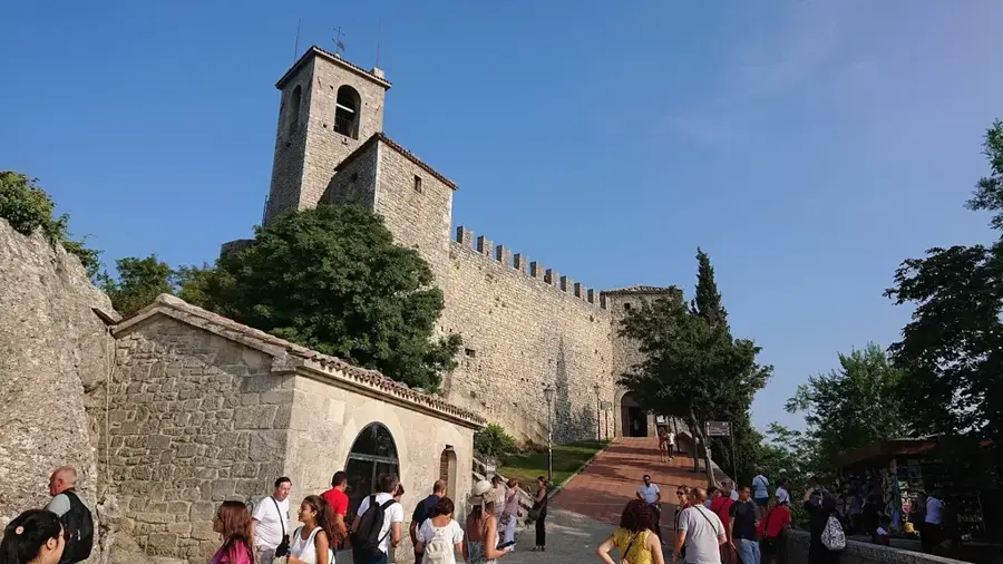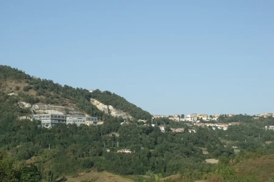
Sanmarino Shinto Shrine
First Shinto shrine in Europe, located in San Marino.
🌐 sanmarino-jinja.com🕒 24/7
Plizio Visual Lab
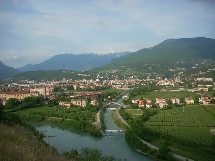
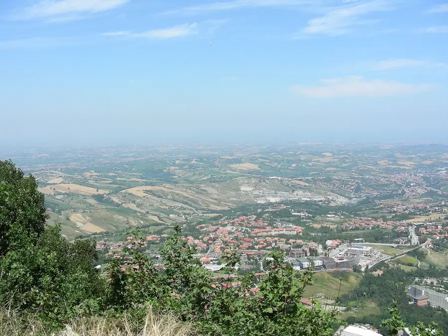
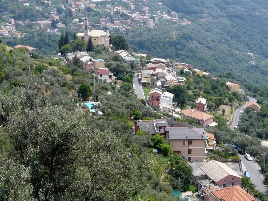
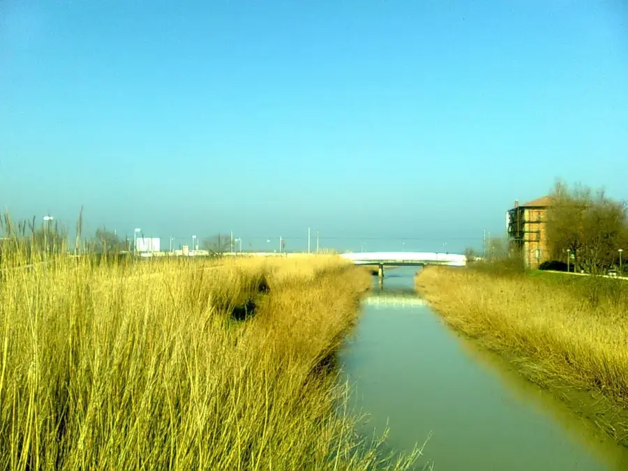
The Marano is a characteristic torrent that marks a portion of the eastern border between the Republic of San Marino and Italy. With a total length of approximately 30 kilometers, it originates in the Sammarinese hills and eventually flows into the Adriatic Sea. The watercourse is ecologically significant as it creates a humid habitat within a predominantly hilly landscape, serving as a vital ecosystem for numerous plant and animal species. Riparian vegetation consists mainly of poplars, willows, and dense shrubbery, acting as a natural biological filter. The Marano experiences significant seasonal variations in water flow, typical of rivers in the Apennine foothills. During summer months, the riverbed can become partially dry, while in winter and spring, it swells following heavy rainfall. Historically, the Marano valley served as an important communication route and a natural boundary defining the limits of the world's oldest republic. Today, environmental protection focuses on water quality and preserving the natural dynamics of the river.
The most pleasant time to visit is Jun, Jul, Sep.
| Jan | Feb | Mar | Apr | May | Jun | Jul | Aug | Sep | Oct | Nov | Dec | |
|---|---|---|---|---|---|---|---|---|---|---|---|---|
| Avg °C | 6 | 6 | 9 | 13 | 17 | 22 | 25 | 25 | 20 | 16 | 11 | 7 |
| Rain mm | 55 | 71 | 69 | 63 | 69 | 46 | 38 | 47 | 79 | 79 | 88 | 68 |
Notable places around
Where do you start? We build the route here, with stops and country notes along the way.
© OpenStreetMap contributors · OpenRouteService
First Shinto shrine in Europe, located in San Marino.