Plizio Visual Lab
Costa della Serra
Plizio editorial teamData Sources
Mountain
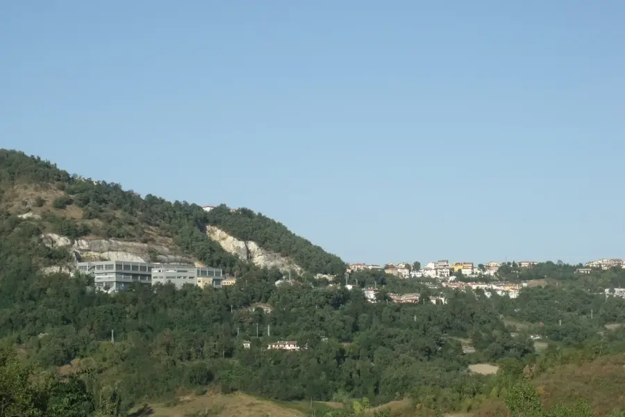
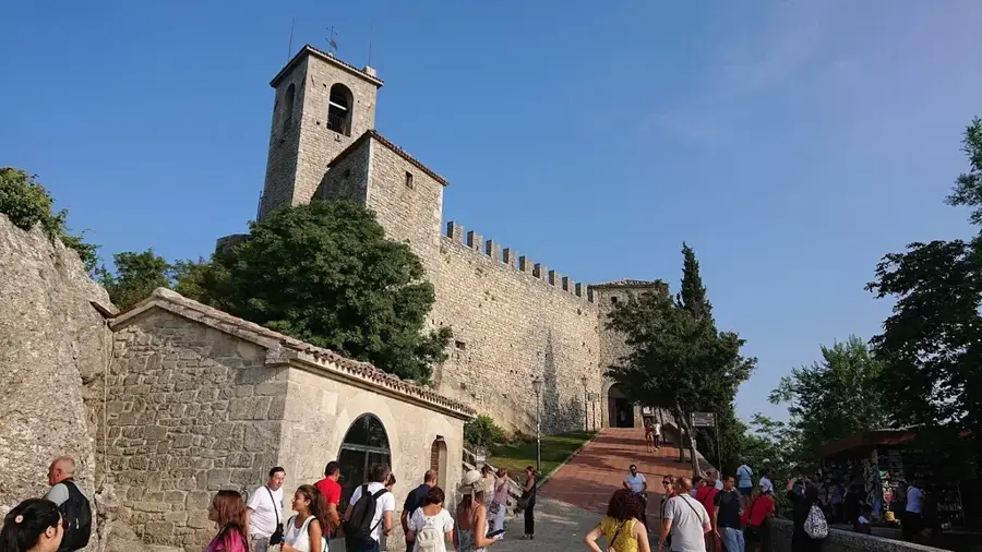
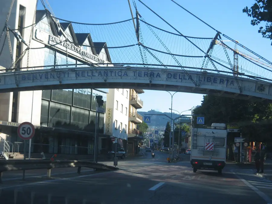
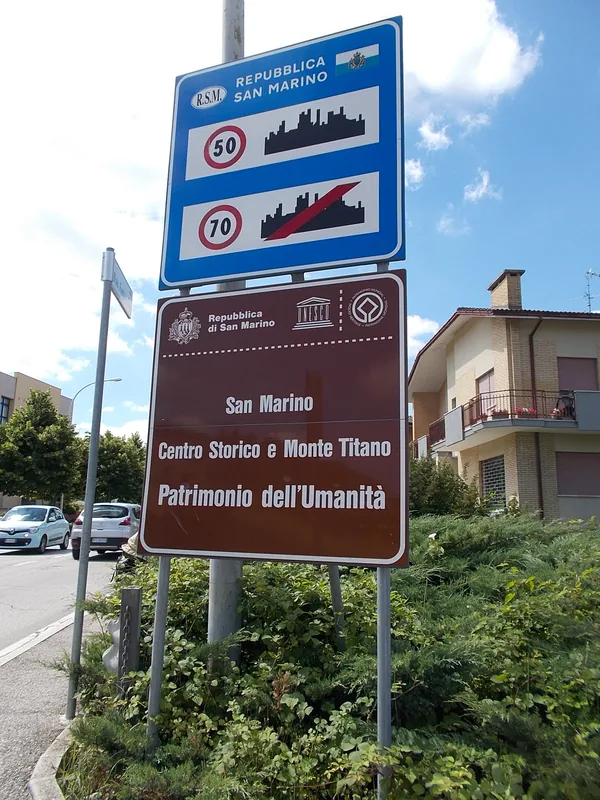
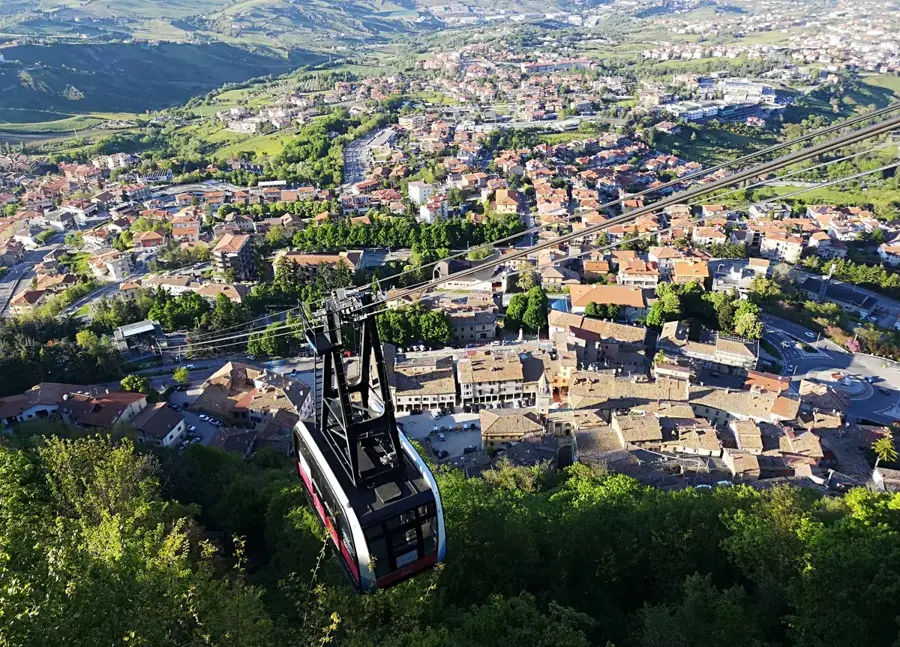
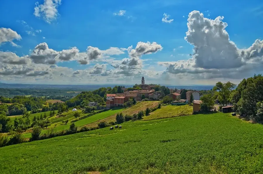
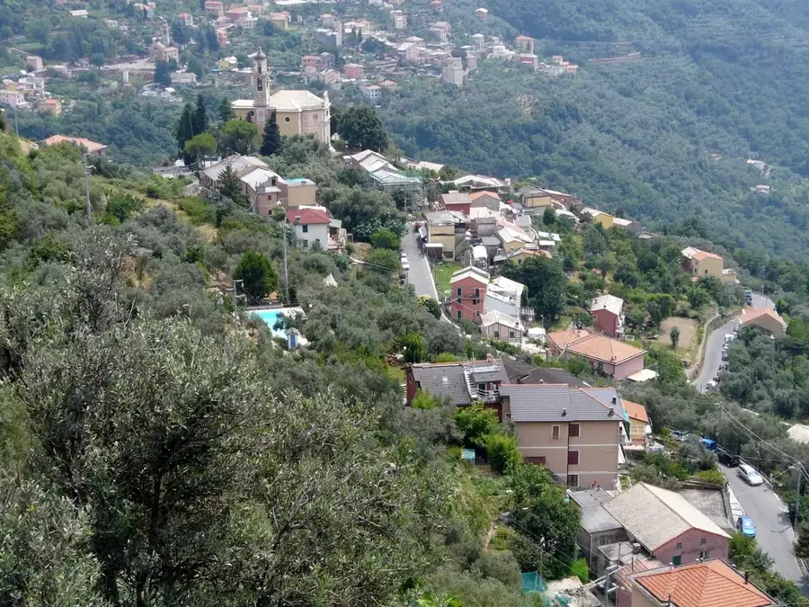
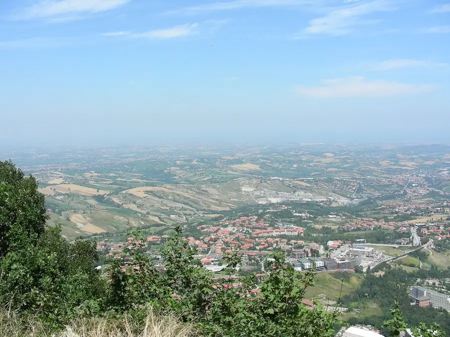
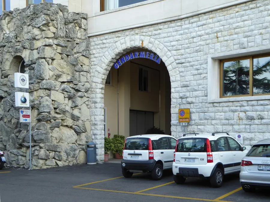
Costa della Serra is a distinctive mountain ridge in San Marino, characterized by steep slopes and an exposed geographical position. This formation extends across a portion of the central highlands, acting as a natural barrier that influences the microclimate of the surrounding valleys. Its geological structure consists of hard limestone layers shaped by erosion over millennia. Due to its strategic location, Costa della Serra provided natural defensive advantages for the Republic's settlements in historical times. The slopes are now partially forested, dominated by a mix of Mediterranean scrub and deciduous woodlands. The region is a critical part of San Marino's ecological network, serving as a habitat for various bird of prey species. Hikers frequent the ridge paths of Costa della Serra for the spectacular panoramic views of Mount Titano and the Adriatic Sea.
- Location: San Marino
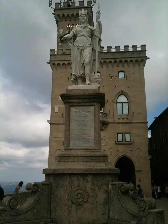
- Top sights: Oasi WWF Cà Brigida · Eugenio Pazzini · Chiesa del Suffragio
- Nearby: Galavotto (4 km)
Best time to visit & climate
The most pleasant time to visit is Jun, Jul, Sep.
| Jan | Feb | Mar | Apr | May | Jun | Jul | Aug | Sep | Oct | Nov | Dec | |
|---|---|---|---|---|---|---|---|---|---|---|---|---|
| Avg °C | 6 | 6 | 9 | 13 | 17 | 22 | 25 | 25 | 20 | 16 | 11 | 7 |
| Rain mm | 55 | 71 | 69 | 63 | 69 | 46 | 38 | 47 | 79 | 79 | 88 | 68 |
📋 Practical info
Getting there
Access to this prominent mountain ridge is typically found via rural roads leading northwards from the main regional towns. Hikers usually start their trek from the nearby valleys, ascending along historically established local tracks.
Best season
Late spring and early autumn are generally the best times to explore this natural dividing line, offering very comfortable, mild temperatures. Summer excursions are completely possible, but early morning starts help avoid the intense midday sun.
Terrain & paths
The ridge consistently features undulating natural terrain with an engaging mix of rocky outcrops and vegetation-covered slopes. The hike can be moderately challenging due to the continuous, rolling elevation changes along the dividing line.
What to bring
Sturdy hiking boots are absolutely essential to safely navigate the uneven and sometimes loose rocky surfaces along the ridge. A light windbreaker jacket is often highly useful, as the exposed dividing line can regularly experience sudden, strong gusts of wind.
Parking
Vehicles are usually best left in the designated municipal parking areas of the nearest northern settlements before safely starting the hike. Roadside parking closer to the ridge may be very limited, unofficial, or actively restricted by local authorities.
Safety
Visitors should continuously remain aware of sudden weather changes, which can quickly affect visibility and basic footing along the exposed ridge. It is always best to avoid venturing too close to the steep, unguarded drops overlooking the sweeping valleys on either side.
Time needed
Exploring the main, accessible section of this prominent mountain ridge typically requires a reasonable time commitment of two to four hours. The exact duration heavily depends on how far one wishes to actively follow the natural, undulating dividing line.
Geography
Facts
- Costa della Serra reaches elevations exceeding 500 meters.
- Geologically, it is part of the San Marino limestone complex.
- The ridge serves as a drainage divide for local streams.
- Remnants of medieval terracing can be found on the slopes.
- Birds of prey, such as the peregrine falcon, use the cliffs for nesting.
- The average slope gradient exceeds 30 degrees in several sections.
Explore nearby
Notable places around
Route planner — Car & Motorhome
Where do you start? We build the route here, with stops and country notes along the way.
Vehicle
Only stops with (optional):
© OpenStreetMap contributors · OpenRouteService
Sights in the town Costa della Serra (8)
San Marino Adventures
Climbing park and adventure park in Costa della Serra.
Museo Civico Archeologico🏛 museum
Archaeological museum in Verucchio, Italy, finds.
Santuario della Beata Vergine della Consolazione
Church building in Borgo Maggiore, San Marino.
Chiesa Di San'Antonio Abate
Church in Verucchio (RN), dedicated to Saint Anthony.
Sights nearby
Frequently asked questions
What characterizes Costa della Serra?
It is an elongated mountain ridge with impressive rock formations.
Is the trail suitable for mountain bikes?
Some sections are technically demanding but doable for experienced bikers.
How is the view of the Adriatic?
On clear days, you can spot the thin blue strip of the sea on the horizon.
Are there shelters in case of rain?
There are few artificial shelters; you should check the weather beforehand.
Where is the best place to start?
A good starting point is the village of Fiorentino or Monti.
Costa della Serra: where is it located?
Costa della Serra is located in San Marino.
Costa della Serra: what is there to see?
Highlights include Oasi WWF Cà Brigida, Eugenio Pazzini, Chiesa del Suffragio.
Costa della Serra: when is the best time to visit?
The most pleasant time to visit is Jun, Jul, Sep.
Costa della Serra: why is it worth visiting?
Costa della Serra is a distinctive mountain ridge in San Marino, characterized by steep slopes and an exposed geographical position.

Explore with Plizio
Discover more places in Europe
More places in San Marino →
Nearby cities
Rovereta
Rovereta is an industrial area located within the municipality of Serravalle.
Galavotto
Galavotto is located in the area of Serravalle, near the border.
Dogana
Dogana is the most populous locality in San Marino, located directly on the border with Italy.
Caladino
Caladino is a locality in the municipality of Serravalle.
Montegiardino di Sopra
Montegiardino di Sopra is a district of Montegiardino.

Montegiardino di Sotto
Montegiardino di Sotto is situated near Montegiardino.
Paderna
Paderna is located in the municipality of Serravalle.
Canepa
Canepa is located in the municipal territory of Borgo Maggiore on the slope of Mount Titano.
Poggiale
Poggiale is located in the municipal territory of Chiesanuova.
Casole
Casole is a locality in the municipality of San Marino.
Poggio Casalino
Poggio Casalino is situated near Chiesanuova.

Castellaro
Castellaro is located in the municipal territory of Borgo Maggiore.
Poggio Chiurano
Poggio Chiurano is situated in the municipality of Chiesanuova.

Cerbaiola
Cerbaiola is a small locality in the municipality of San Marino.
Montalbo
Montalbo is situated in the municipality of Borgo Maggiore.