Plizio Visual Lab
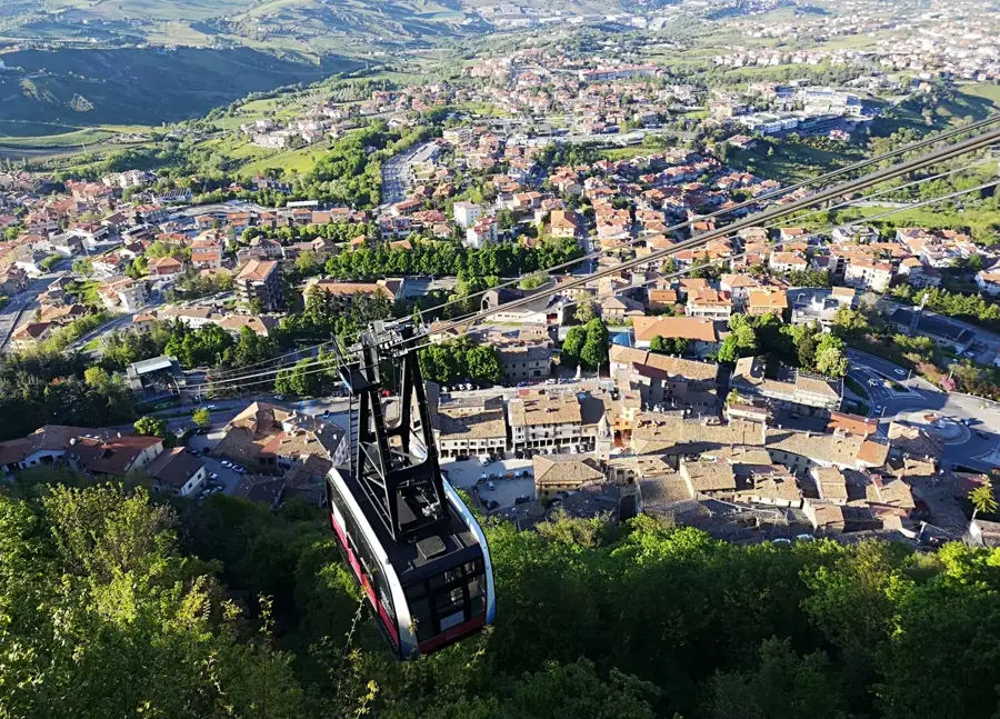
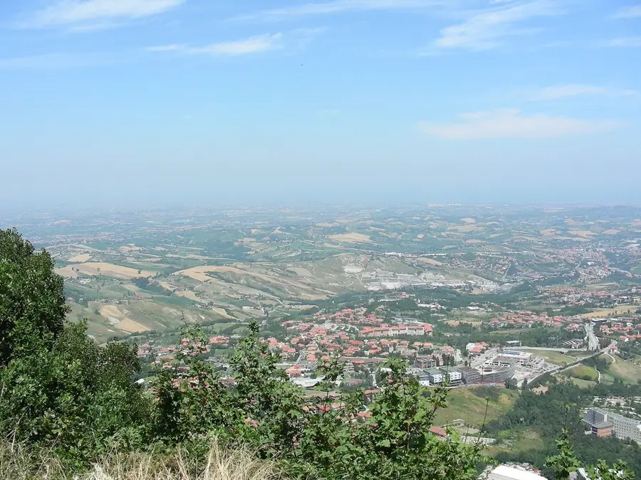
Rio San Marino Valley
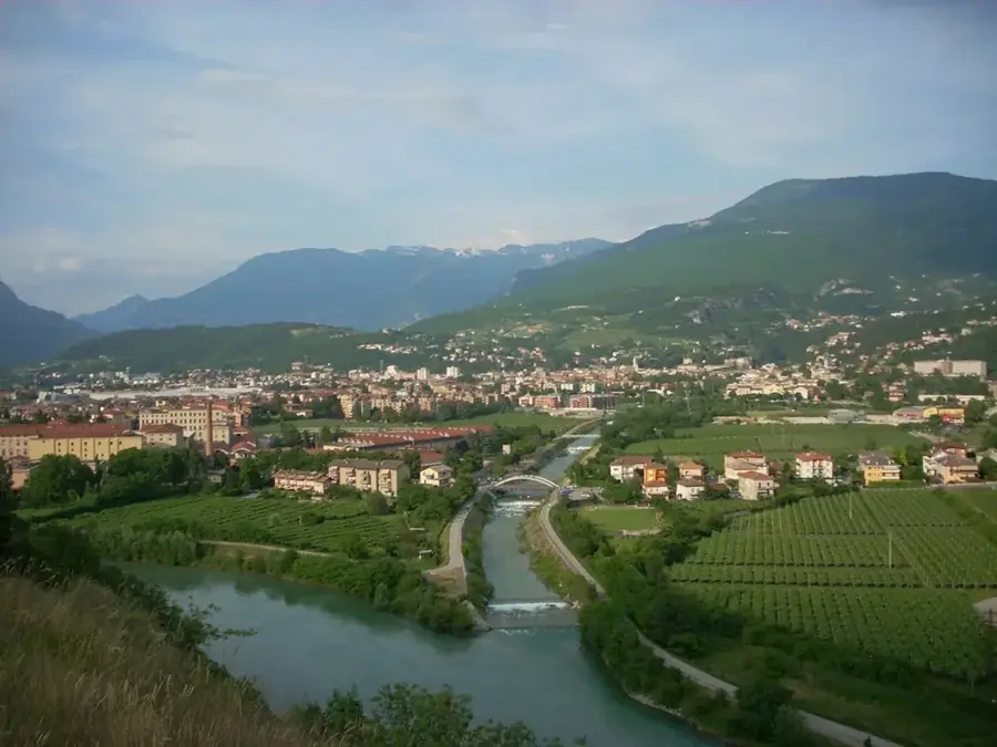
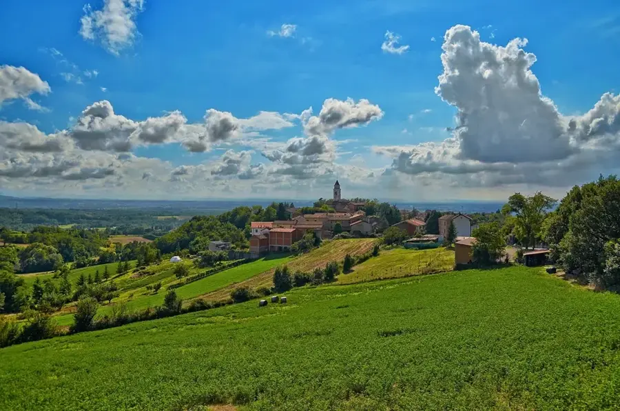
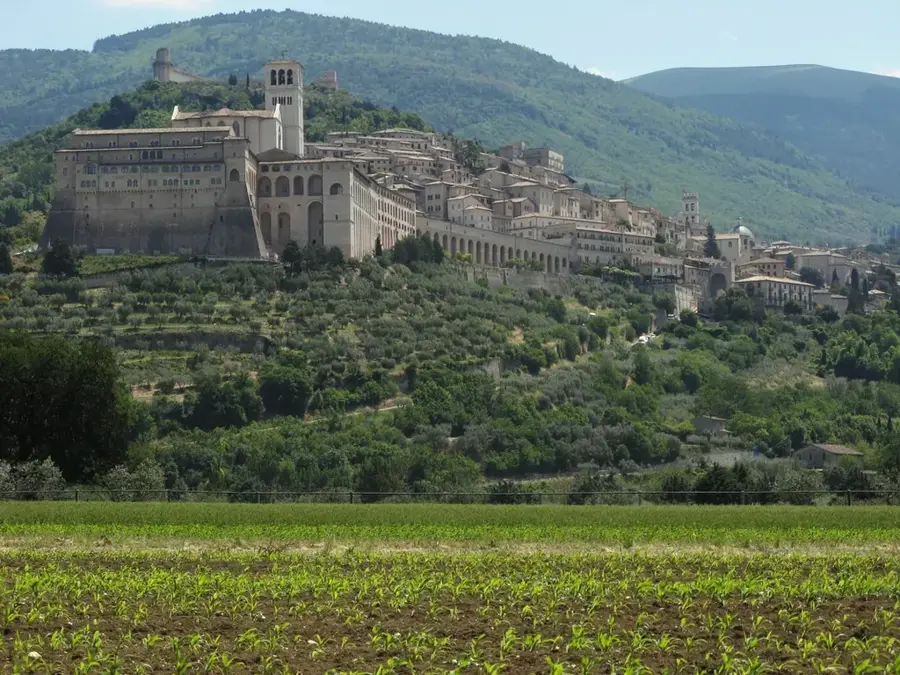
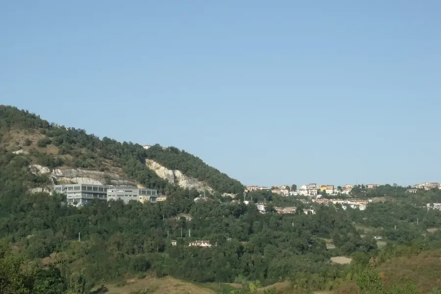
The Rio San Marino Valley stretches along the western border of the republic, forming one of the primary hydrographic features of the Sanmarinese territory. The Rio San Marino is a significant left-bank tributary of the Marecchia river, flowing through a landscape dominated by Pliocene clays and marls. This valley has historically been a vital agricultural hub, with its fertile slopes supporting vineyards, olive groves, and traditional cereal farming. The riparian ecosystem along the riverbed is characterized by stands of willows and poplars, providing essential habitat for amphibians and local waterfowl. Strategically, the valley defines a long stretch of the international border between San Marino and the Italian region of Marche. The geological nature of the valley makes it susceptible to solifluction and landslides, which continuously reshape the local topography and impact land management practices.
- Location: San Marino
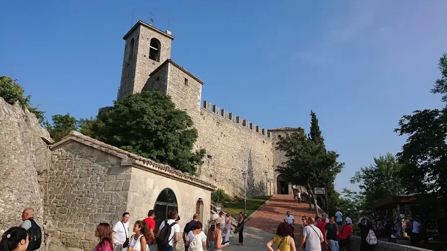
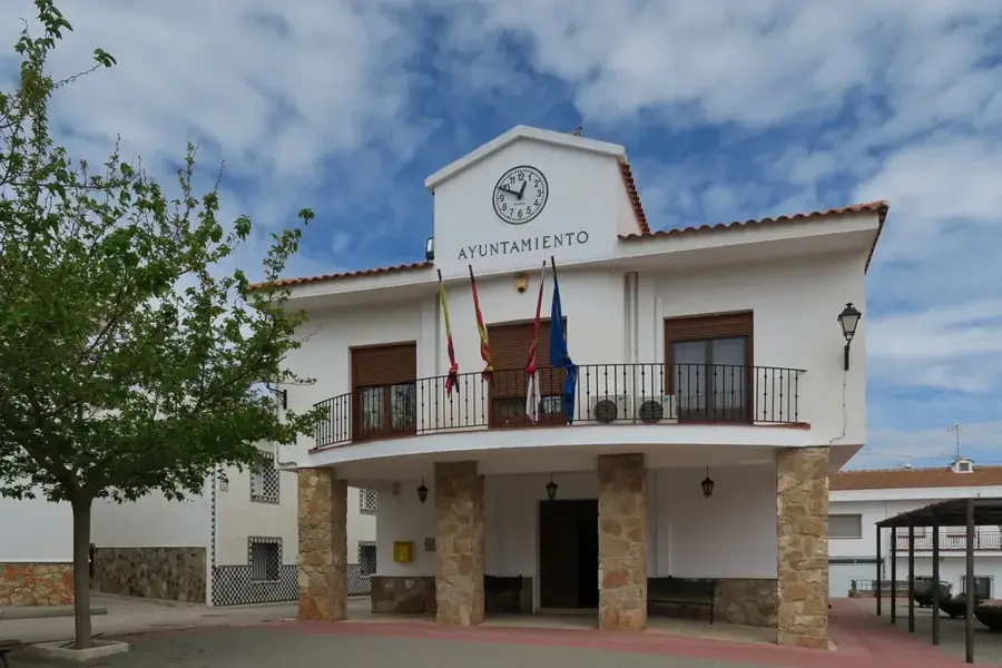
- Top sights: Chiesa Sant'Andrea · Sanmarino Shinto Shrine
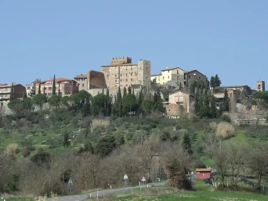
- Nearby: Castellaro (4 km)
Best time to visit & climate
The most pleasant time to visit is Jun, Jul, Sep.
| Jan | Feb | Mar | Apr | May | Jun | Jul | Aug | Sep | Oct | Nov | Dec | |
|---|---|---|---|---|---|---|---|---|---|---|---|---|
| Avg °C | 6 | 6 | 9 | 13 | 17 | 22 | 25 | 25 | 20 | 16 | 11 | 7 |
| Rain mm | 55 | 71 | 69 | 63 | 69 | 46 | 38 | 47 | 79 | 79 | 88 | 68 |
📋 Practical info
Geography
Facts
- The valley serves as a natural boundary with the Marche region.
- Geological strata reveal marine fossils from the Pliocene epoch.
- Willow and poplar forests dominate the riverine landscape.
- The river is approximately 10 kilometers long within the border area.
- Landslides are a common natural occurrence in the clay-rich slopes.
- The valley floor was historically used for communal livestock grazing.
Explore nearby
Notable places around
Route planner — Car & Motorhome
Where do you start? We build the route here, with stops and country notes along the way.
© OpenStreetMap contributors · OpenRouteService
Sights in the town Rio San Marino Valley (2)
Sanmarino Shinto Shrine
First Shinto shrine in Europe, located in San Marino, a site of Japanese culture.
Sights nearby
Frequently asked questions
What is special about this valley?
Are there cycling paths here?
Can you fish in the Rio San Marino?
Are there restaurants in the valley?
How long does a crossing take?
Rio San Marino Valley: where is it located?
Rio San Marino Valley: what is there to see?
Rio San Marino Valley: when is the best time to visit?
Rio San Marino Valley: why is it worth visiting?

Nearby cities