Plizio Visual Lab
Taelefaga
ℹ️Practical info — Taelefaga
▾
🌤 Weather — 5 days
📍 Nearby
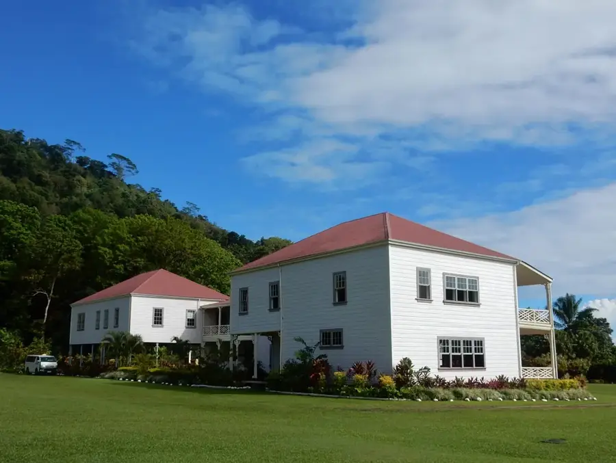
Sights nearby
💡 Tips
- The access road down to Fagaloa Bay is steep and often slippery. Drive slowly and be especially careful in wet conditions.
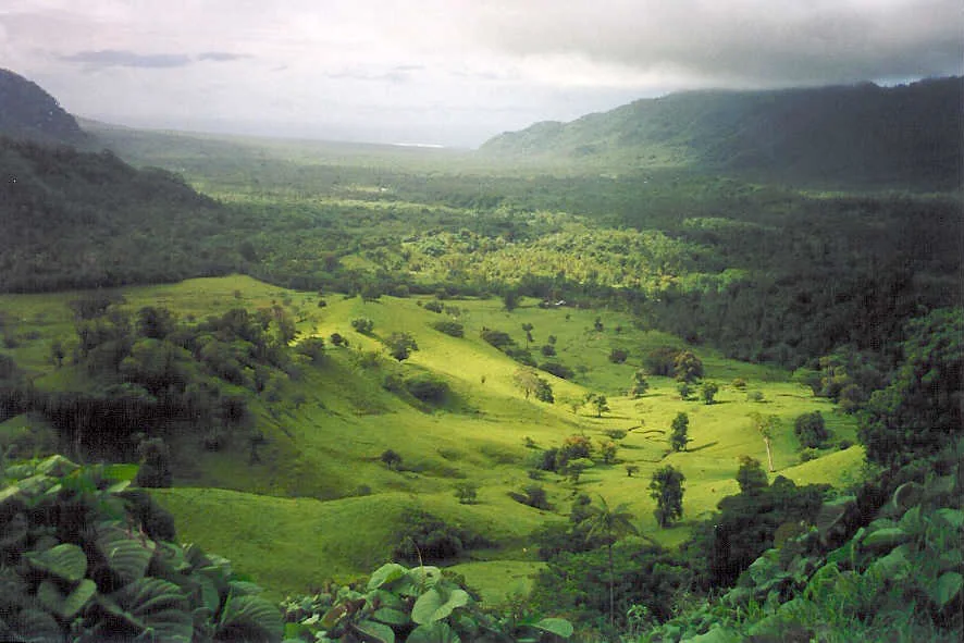
- The view down into the valley from the top rim of the bay is spectacular. Use the small pull-outs to take photos.
- Pack enough snacks and drinking water, as shopping options down in the bay are extremely limited.
- Swimming in the bay can be slightly cooler than other coastal areas due to nearby rivers and the hydroelectric station.
🍽 Food
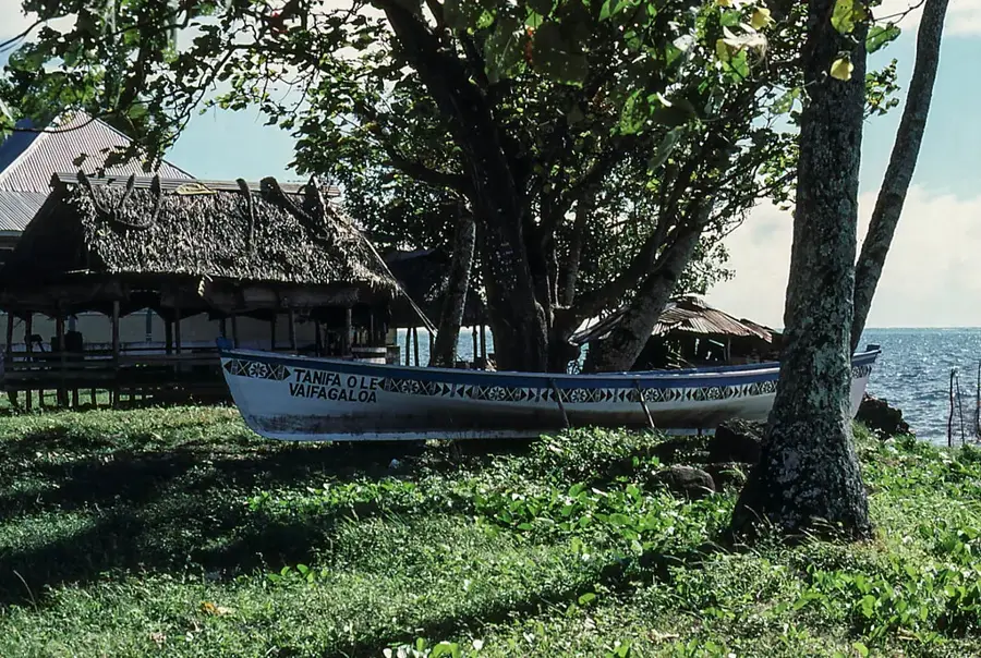
Villagers fish in the bay; ask around, occasionally you can buy fresh fish directly on the shore.
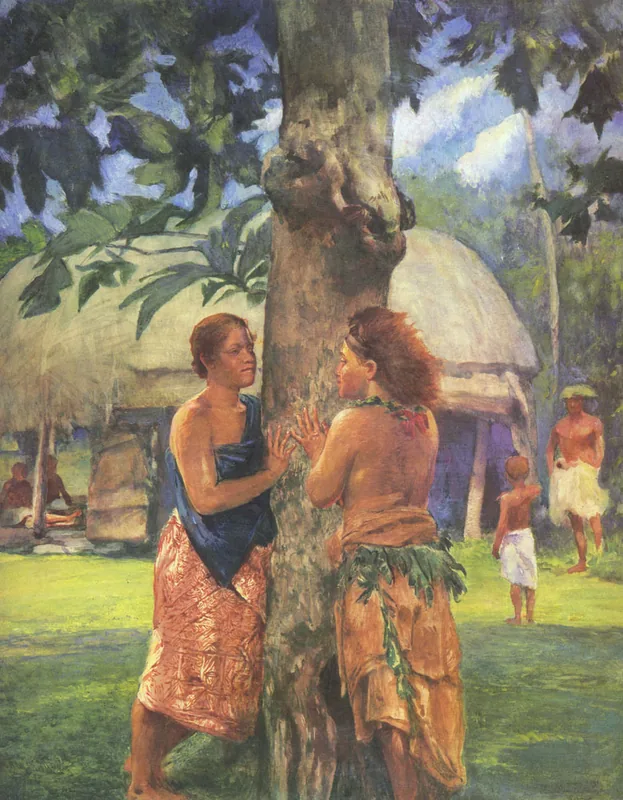
A very popular ingredient often integrated into Samoan family celebrations, try it if you are invited for a meal.
Ask the locals in the village if they can get you a Niu (fresh drinking coconut) from the palm trees.
🛍 Shopping · 🧘 Quiet spots
Good for bare essentials like cold drinks and simple snacks, but don't expect a large selection.
Sometimes women work on these traditional woven mats. Ask politely if you can watch or purchase a small handicraft.
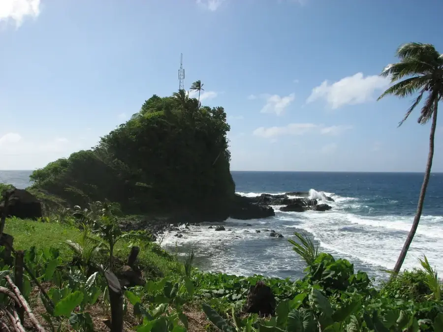
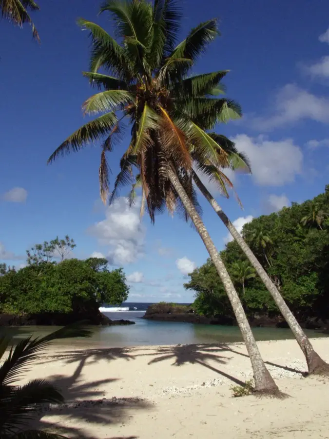
Sit by the calm water and watch the dramatic, lush green mountains rising steeply.
The sound of flowing water in this remote area provides a soothing atmosphere away from the hustle and bustle.
Water temperature…
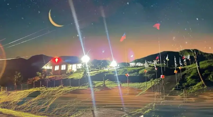
Taelefaga is the principal village of Fagaloa Bay on the northeastern coast of Upolu and serves as the administrative heart of the Vaa-o-Fonoti district. Geographically, it is situated at the innermost point of the deep bay, where a small river flows into the sea, creating a fertile alluvial plain. The village holds great historical significance, as the district name Vaa-o-Fonoti commemorates a legendary war canoe, reflecting the residents' proud maritime heritage. Taelefaga is also the site of a key hydroelectric power station that contributes significantly to the island's renewable energy supply. The local economy is a blend of traditional fishing, agriculture, and services provided within the district administration. The surrounding landscape is defined by dramatic waterfalls that cascade from the mountains following heavy rainfall. Despite modernization linked to the power station, Taelefaga maintains a strong communal spirit and practices the Fa'a Samoa with great dedication. The bay area remains an important site for ecological research due to its high density of rare Samoan flora and fauna.
- Location: Samoa
- Top sights: Ta'elefaga · Salimu Fagaloa Village
- Nearby: Lotofaga Uta (5 km)
- Population: ~45
Best time to visit & climate
The most pleasant time to visit is Jul–Sep.
| Jan | Feb | Mar | Apr | May | Jun | Jul | Aug | Sep | Oct | Nov | Dec | |
|---|---|---|---|---|---|---|---|---|---|---|---|---|
| Avg °C | 28 | 28 | 28 | 28 | 28 | 28 | 27 | 27 | 27 | 28 | 28 | 28 |
| Rain mm | 269 | 247 | 175 | 181 | 135 | 88 | 78 | 57 | 91 | 146 | 224 | 240 |
Geography
Facts
- Administrative center of the Vaa-o-Fonoti district
- Site of a major national hydroelectric power station
- The largest village within the Fagaloa Bay area
- Historically linked to the legendary 'Vaa-o-Fonoti' war canoe
- Surrounded by steep mountains featuring numerous waterfalls
- Key hub for trade and services in northeast Upolu
Explore nearby
Notable places around
Route planner — Car & Motorhome
Where do you start? We build the route here, with stops and country notes along the way.
© OpenStreetMap contributors · OpenRouteService
Sights in the town Taelefaga (2)
Frequently asked questions
What is special about Taelefaga?
Is the power plant visitable?
How is the area?
Is there hiking?
Is a stop worth it?
Taelefaga: where is it located?
Taelefaga: what is there to see?
Taelefaga: when is the best time to visit?
Taelefaga: why is it worth visiting?

Nearby cities