Plizio Visual Lab
Mount Tagotala

Weather…
Water temperature…
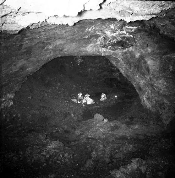
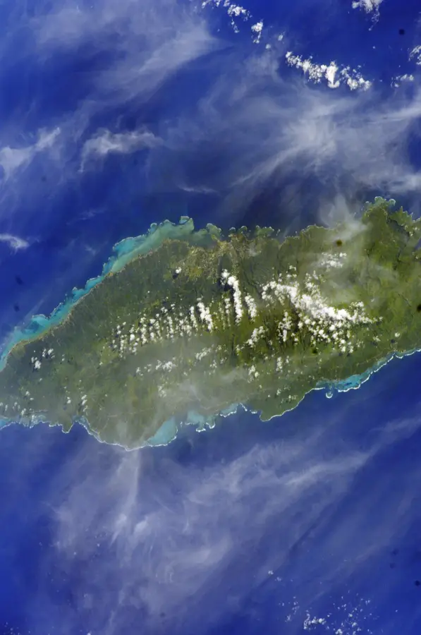
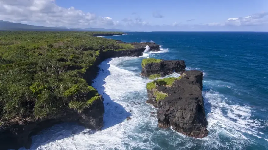
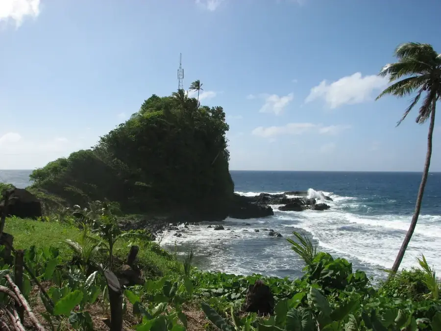
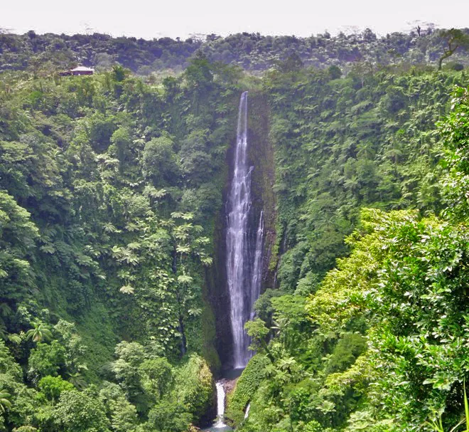
Mount Tagotala is a prominent volcanic mountain located in the southern part of Upolu Island, Samoa. With its conical structure, it serves as a classic example of a pyroclastic cone formed during more recent phases of the island's formation. Geologically, it belongs to the Lefaga volcanic series, characterized by relatively fresh lava flows and ash deposits. The vegetation on Mount Tagotala ranges from cultivated areas on the lower slopes to dense tropical rainforest at higher elevations. The region is of great ecological significance, providing corridors for migratory bird species and hosting numerous native reptiles. Small plantations managed by local village communities are often found in the vicinity, leveraging the fertility of the volcanic ash. The mountain also provides natural shelter against strong winds blowing from the Pacific, thereby influencing agricultural conditions in the adjacent valleys. Historically, the area around Tagotala was the site of minor tribal conflicts and is today a location rich in local oral traditions.
- Location: Samoa
- Nearby: Siumu Tai (4 km)
Best time to visit & climate
The most pleasant time to visit is Jul–Sep.
| Jan | Feb | Mar | Apr | May | Jun | Jul | Aug | Sep | Oct | Nov | Dec | |
|---|---|---|---|---|---|---|---|---|---|---|---|---|
| Avg °C | 28 | 28 | 28 | 28 | 28 | 27 | 27 | 27 | 27 | 27 | 27 | 28 |
| Rain mm | 258 | 241 | 165 | 169 | 128 | 91 | 75 | 56 | 92 | 141 | 213 | 229 |
📋 Practical info
Geography
Facts
- The mountain is located in the southern sector of Upolu Island.
- It is geologically classified as a pyroclastic cone.
- The region belongs to the geologically young Lefaga volcanic series.
- Fertile soils are composed of volcanic ash and scoria.
- The mountain is a vital corridor for native land birds.
- It provides shelter from the prevailing southeast trade winds.
Explore nearby
Notable places around
Route planner — Car & Motorhome
Where do you start? We build the route here, with stops and country notes along the way.
© OpenStreetMap contributors · OpenRouteService
Sights in the town Mount Tagotala (1)
Sights nearby
Frequently asked questions
Is Mount Tagotala volcanically active?
How do I reach the starting point?
Do I need a permit for the climb?
Is there running water on the trail?
Is photography allowed at the summit?
Mount Tagotala: where is it located?
Mount Tagotala: when is the best time to visit?
Mount Tagotala: why is it worth visiting?

Nearby cities


History & landmarks

Nature
More places