Plizio Visual Lab
Mount Siga
Weather…
Water temperature…
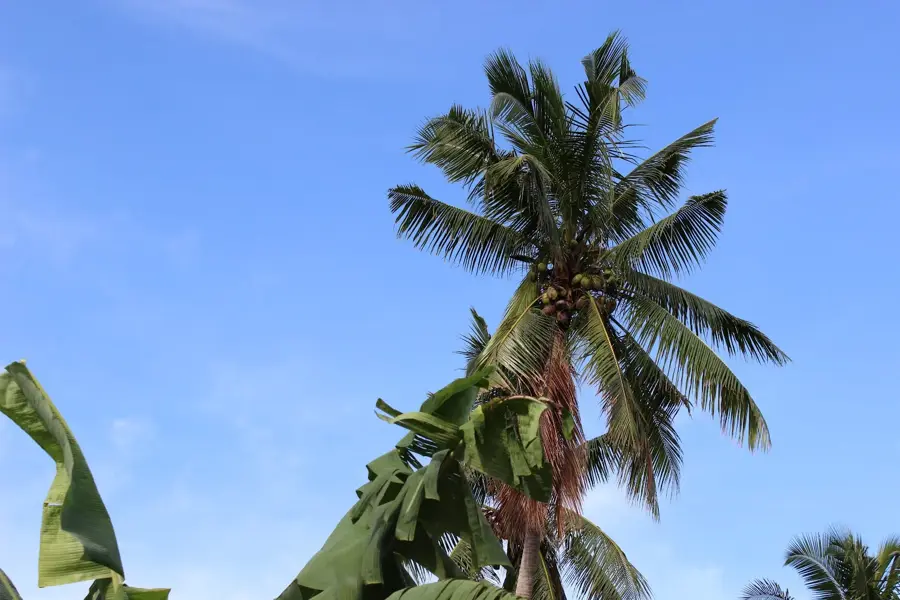
Mount Siga is a distinct volcanic cone located in the southwestern interior of Savai'i island. Forming part of the island's vast volcanic complex, it is one of the many cinder cones that punctuate the central highlands. The mountain is characterized by its relatively symmetrical shape and its covering of thick, primary tropical rainforest. Geologically, it is composed of scoria and basaltic fragments, products of explosive volcanic activity from the late Quaternary period. Its isolation and elevation provide a refuge for many of Samoa's native species, including unique orchids and the Samoa flying fox. The slopes of Mount Siga are vital for the island's hydrological cycle, capturing moisture from the prevailing trade winds and recharging subterranean water sources. While not as high as some of the neighboring peaks, it remains a significant landmark in the traditional territorial landscape of the island's inland districts.
- Location: Samoa
- Nearby: Samalae'ulu Uta (11 km)
Best time to visit & climate
The most pleasant time to visit is Jul–Sep.
| Jan | Feb | Mar | Apr | May | Jun | Jul | Aug | Sep | Oct | Nov | Dec | |
|---|---|---|---|---|---|---|---|---|---|---|---|---|
| Avg °C | 28 | 28 | 28 | 28 | 28 | 28 | 27 | 27 | 27 | 28 | 28 | 28 |
| Rain mm | 262 | 254 | 166 | 154 | 129 | 101 | 81 | 64 | 89 | 141 | 208 | 220 |
📋 Practical info
Geography
Facts
- Mount Siga is a classic example of a cinder cone volcano.
- It is situated in the central southern highlands of Savai'i.
- The peak reaches an estimated elevation of 750 meters.
- Geological evidence dates its formation to the late Pleistocene or Holocene.
- The area is known for high rainfall, often exceeding 5,000 mm per year.
- It is a prominent feature in the district of Palauli.
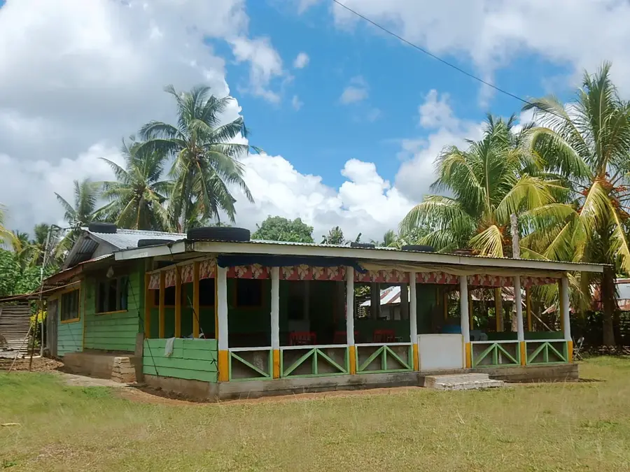
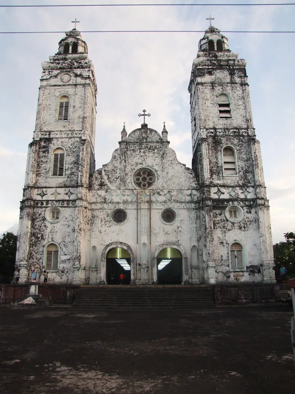
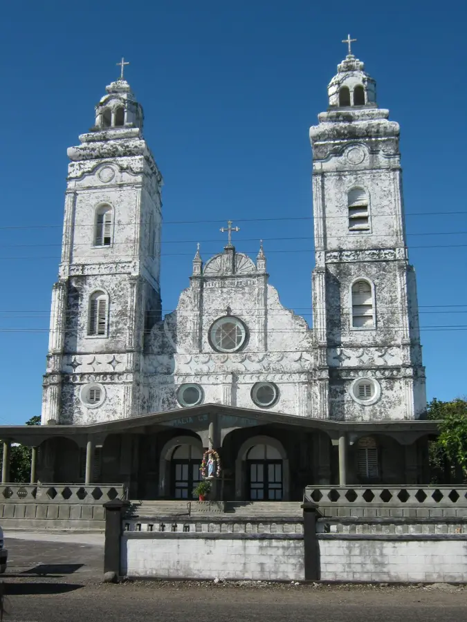
Explore nearby
Notable places around
Route planner — Car & Motorhome
Where do you start? We build the route here, with stops and country notes along the way.
© OpenStreetMap contributors · OpenRouteService
Sights nearby
Frequently asked questions
Are there guided day tours to Mount Siga?
How difficult is navigation?
Are insects a problem there?
What is the ideal time for hiking?
Can you camp there?
Mount Siga: where is it located?
Mount Siga: when is the best time to visit?
Mount Siga: why is it worth visiting?

Nearby cities