Plizio Visual Lab
Marigot Bay Ridge
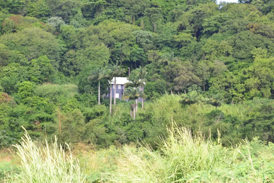
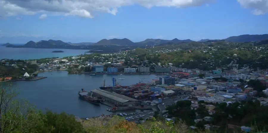
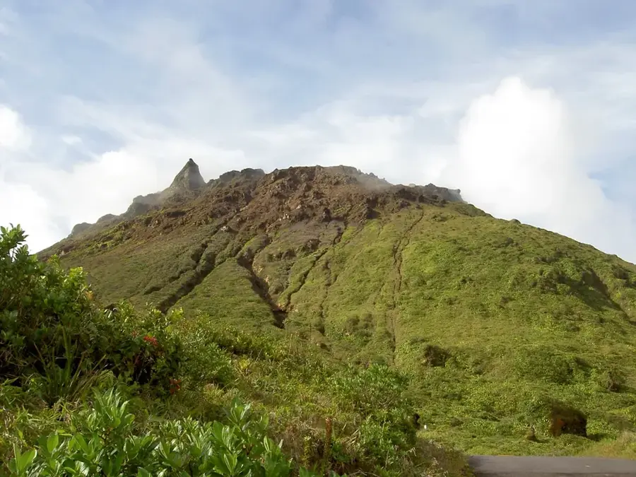
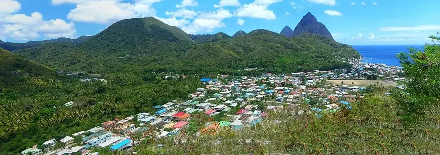
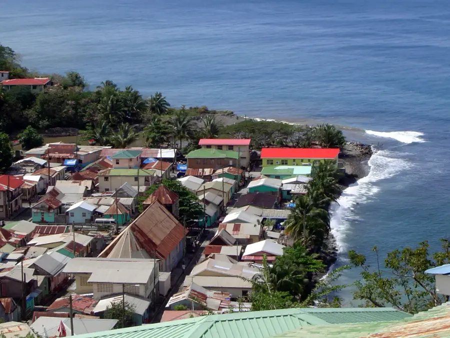
Marigot Bay Ridge is a prominent geological feature that forms a protective emerald embrace around what is often called the most beautiful bay in the Caribbean. Rising steeply to an elevation of approximately 100 meters, this forested ridge acts as a formidable natural windbreak, sheltering the harbor from three sides. Historically, this unique relief made Marigot Bay a strategic naval hideout and earned it the reputation of a premier "hurricane hole," where vessels could safely anchor during Atlantic storms. The ridge is carpeted in lush tropical vegetation, providing a vital habitat for local wildlife and a scenic backdrop for the world-class yachts moored below. Hiking trails along the crest offer wide-open vantage points overlooking the turquoise waters and the famous palm-fringed sandspit. The area gained international fame as a filming location for the 1967 movie "Doctor Dolittle," largely due to the dramatic aesthetic provided by the steep, green slopes that plunge directly toward the water's edge.
- Location: St. Lucia
- Top sights: Marigot Bay · Roseau River (Saint Lucia) · Roseau Valley
- Nearby: Castries (5 km)
Best time to visit & climate
The most pleasant time to visit is Jan–Mar.
| Jan | Feb | Mar | Apr | May | Jun | Jul | Aug | Sep | Oct | Nov | Dec | |
|---|---|---|---|---|---|---|---|---|---|---|---|---|
| Avg °C | 26 | 26 | 26 | 27 | 28 | 28 | 28 | 28 | 29 | 28 | 28 | 27 |
| Rain mm | 68 | 44 | 48 | 97 | 102 | 136 | 154 | 180 | 182 | 189 | 159 | 85 |
📋 Practical info
Geography
Facts
- Highest point of the ridge is approximately 120 meters
- Scene of British-French naval skirmishes in the 18th century
- Composed of massive andesite formations
- Offers 360-degree views over the western coastline
- Densely forested with palms and tropical hardwoods
- Famous as a filming location for movies like 'Dr. Dolittle'
Explore nearby
Notable places around
Route planner — Car & Motorhome
Where do you start? We build the route here, with stops and country notes along the way.
© OpenStreetMap contributors · OpenRouteService
Sights in the town Marigot Bay Ridge (3)
Sights nearby
Frequently asked questions
Does the Marigot Bay ridge offer good photo opportunities?
How steep is the climb to the ridge?
Are there restaurants up there?
Is a guided tour recommended?
Is there parking near the trailhead?
Marigot Bay Ridge: where is it located?
Marigot Bay Ridge: what is there to see?
Marigot Bay Ridge: when is the best time to visit?
Marigot Bay Ridge: why is it worth visiting?

Nearby cities