Plizio Visual Lab
Piton Canarie
Weather…
Water temperature…
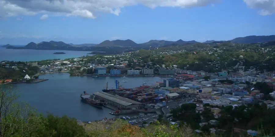
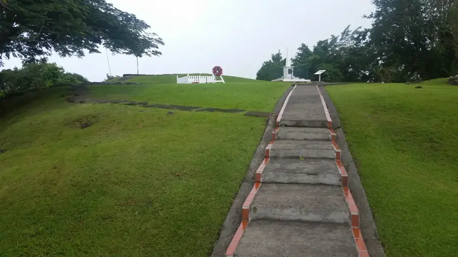
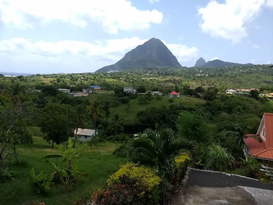
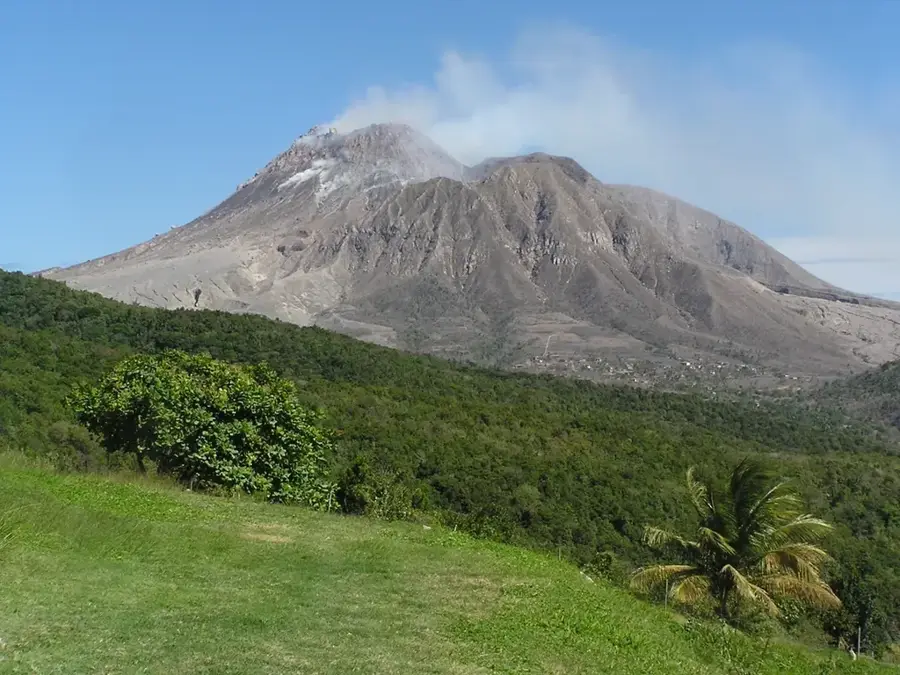
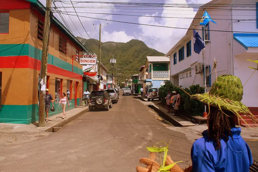
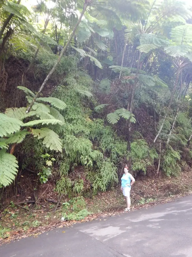
Piton Canarie is a prominent peak on the west coast of Saint Lucia, towering directly over the fishing village of Canaries. Standing at approximately 450 meters, it is smaller than the iconic Pitons to the south but perfectly illustrates the island's dramatic and steep volcanic relief. The mountain slopes drop sharply toward the Caribbean Sea, offering hikers who venture up its paths expansive views of the rugged coastline and the dense interior rainforests. Geologically, the peak is a testament to the island's volcanic origins, characterized by jagged rock formations and lush tropical flora that blankets its sides. A visit here is especially rewarding for those seeking a more secluded nature experience, as it remains less developed than other tourist hotspots. It provides an authentic encounter with the geography of the Lesser Antilles, combining challenging terrain with the serene beauty of the Caribbean landscape, far from the crowds of the more popular coastal resorts.
- Location: St. Lucia
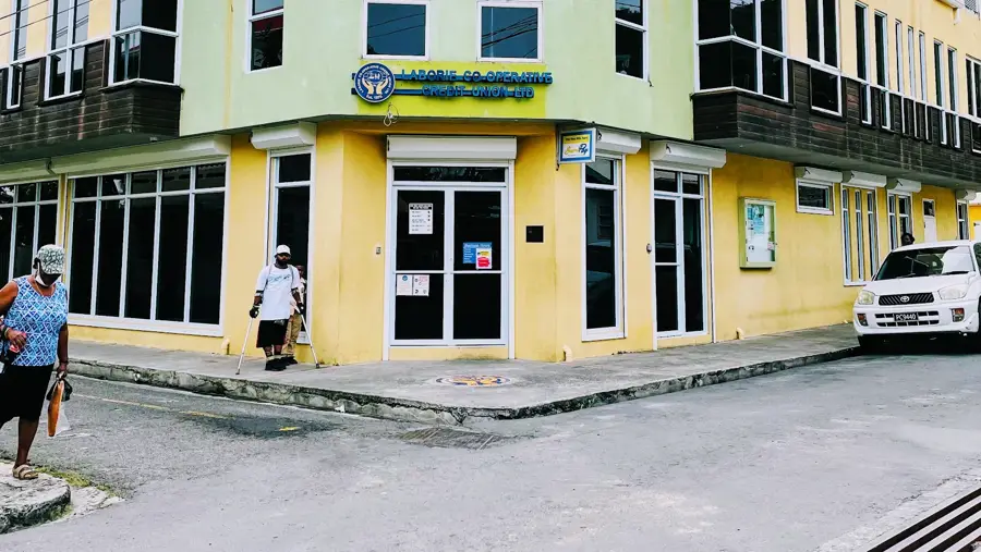
- Top sights: Anse Cochon River · Canaries, Saint Lucia · Canaries District
- Nearby: Fond St. Jacques (4 km)
Best time to visit & climate
The most pleasant time to visit is Jan–Mar.
| Jan | Feb | Mar | Apr | May | Jun | Jul | Aug | Sep | Oct | Nov | Dec | |
|---|---|---|---|---|---|---|---|---|---|---|---|---|
| Avg °C | 26 | 26 | 26 | 27 | 28 | 28 | 28 | 28 | 29 | 28 | 28 | 27 |
| Rain mm | 68 | 44 | 48 | 97 | 102 | 136 | 154 | 180 | 182 | 189 | 159 | 85 |
📋 Practical info
Geography
Facts
- Reaches an elevation of 603 meters
- Geologically part of the Canaries volcanic center
- Historically used as a landmark for sailors
- Vegetation includes montane forest and elfin woodland
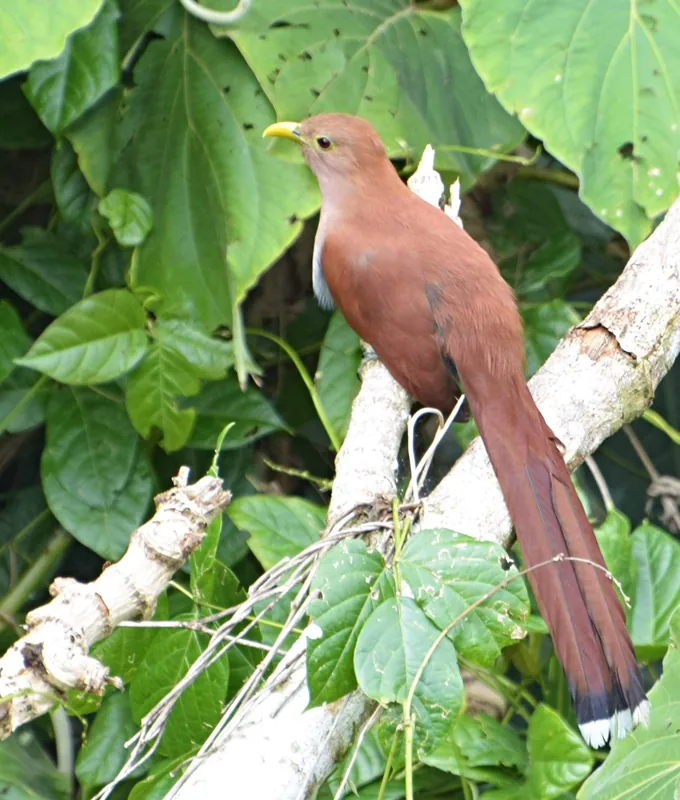
- Important habitat for the Saint Lucia racer snake
- Steep cliffs provide nesting sites for seabirds
Explore nearby
Notable places around
Route planner — Car & Motorhome
Where do you start? We build the route here, with stops and country notes along the way.
© OpenStreetMap contributors · OpenRouteService
Sights in the town Piton Canarie (3)
Sights nearby
Frequently asked questions
Where is Piton Canarie located?
Is the mountain of volcanic origin?
How challenging is trekking there?
Is there a panoramic view from there?
When should I start the climb?
Piton Canarie: where is it located?
Piton Canarie: what is there to see?
Piton Canarie: when is the best time to visit?
Piton Canarie: why is it worth visiting?

Nearby cities