Plizio Visual Lab
Cul de Sac Power Station
Weather…
Water temperature…
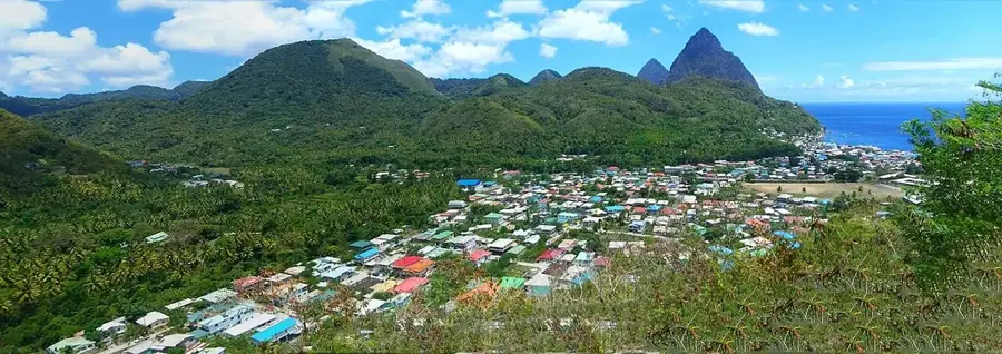
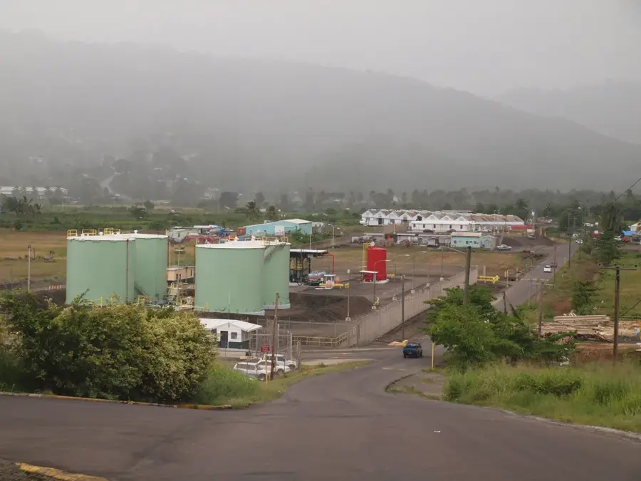
The Cul de Sac Power Station is the structural backbone of Saint Lucia's electrical grid and a vital engine for the island's economic development. Operated by Saint Lucia Electricity Services Limited (LUCELEC), the facility is strategically situated in a valley south of the capital, Castries. It relies on heavy-duty diesel generators to produce the bulk of the nation's electricity, supporting the high energy demands of the tourism industry, commercial centers, and residential areas. With an installed capacity of approximately 86 megawatts, it functions as the central hub of the island’s energy distribution system. In recent years, significant efforts have been made to upgrade the station's efficiency and integrate cleaner technologies to mitigate environmental impact. While primarily an industrial site, its role is indispensable to the daily life of Saint Lucians, ensuring that the critical infrastructure required for the island's growth and modernization remains powered and resilient.
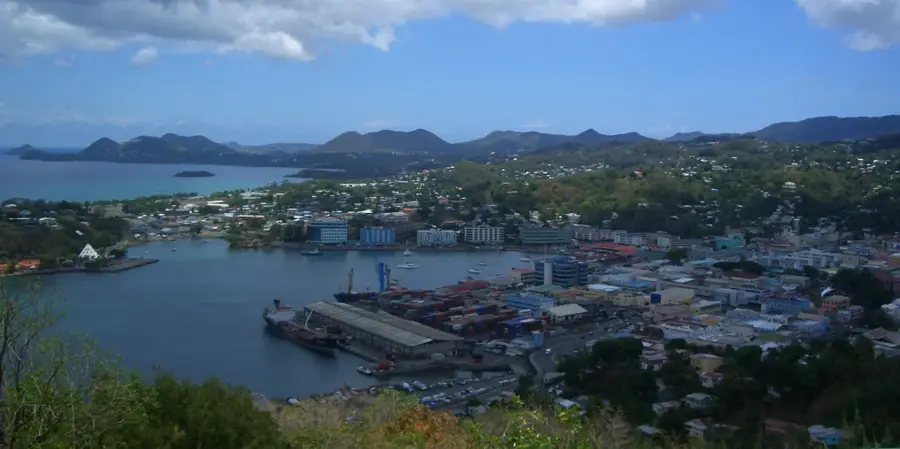
- Location: St. Lucia
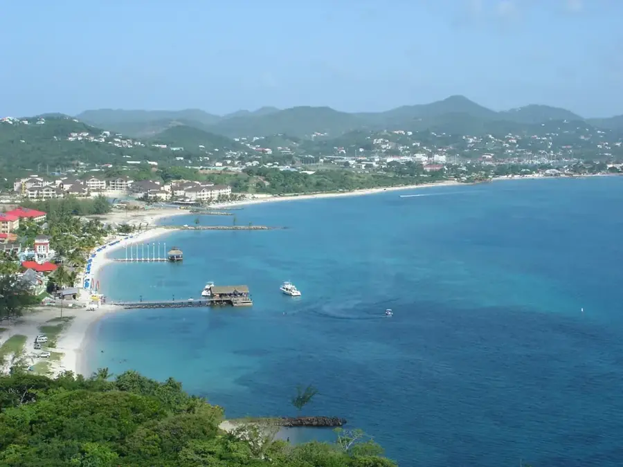
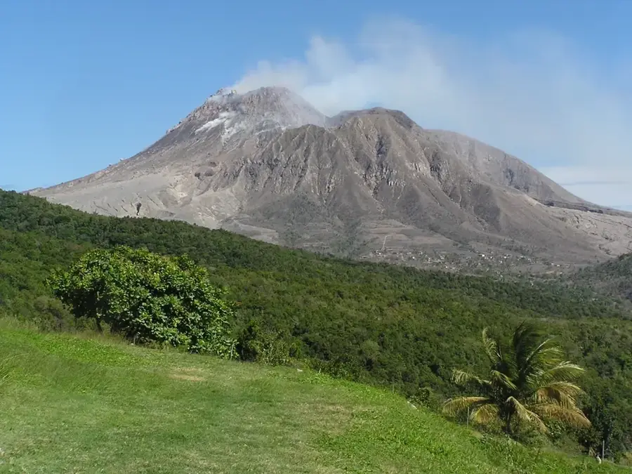
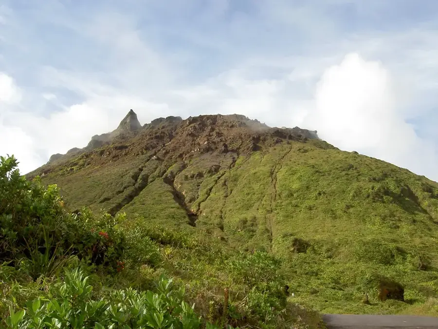
- Top sights: Cul de Sac River · Soucis · Tourat
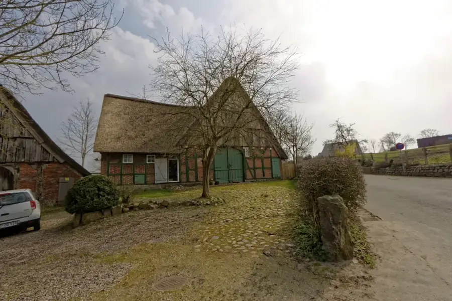
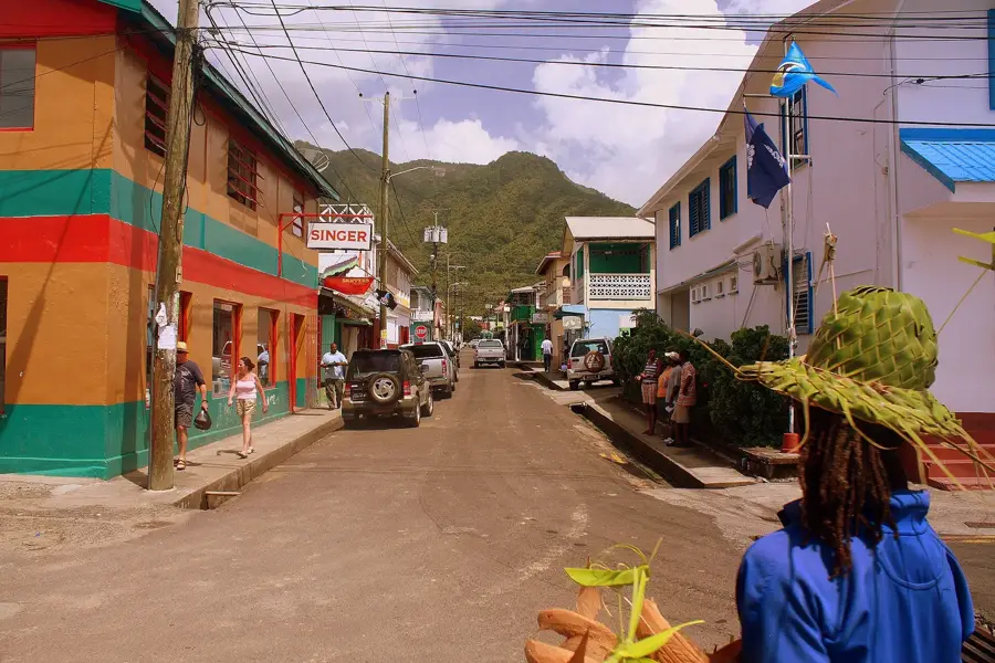
- Nearby: Anse La Raye Fishing Village (4 km)
Best time to visit & climate
The most pleasant time to visit is Jan–Mar.
| Jan | Feb | Mar | Apr | May | Jun | Jul | Aug | Sep | Oct | Nov | Dec | |
|---|---|---|---|---|---|---|---|---|---|---|---|---|
| Avg °C | 26 | 26 | 26 | 27 | 28 | 28 | 28 | 28 | 29 | 28 | 28 | 27 |
| Rain mm | 68 | 44 | 48 | 97 | 102 | 136 | 154 | 180 | 182 | 189 | 159 | 85 |
📋 Practical info
Geography
Facts
- Main power generation hub for LUCELEC
- Installed capacity of approximately 86 MW
- Commissioned in the year 1990
- Uses heavy fuel oil and diesel
- Supplies over 90% of the island's power
- Located in the Cul de Sac Valley
Explore nearby
Notable places around
Route planner — Car & Motorhome
Where do you start? We build the route here, with stops and country notes along the way.
© OpenStreetMap contributors · OpenRouteService
Sights in the town Cul de Sac Power Station (3)
Sights nearby
Frequently asked questions
What is the Cul de Sac Power Station?
Is a visit possible?
What energy source is used?
Where is it located?
Are there environmental regulations?
Cul de Sac Power Station: where is it located?
Cul de Sac Power Station: what is there to see?
Cul de Sac Power Station: when is the best time to visit?
Cul de Sac Power Station: why is it worth visiting?

Nearby cities