Plizio Visual Lab
Roseau River
Weather…
Water temperature…
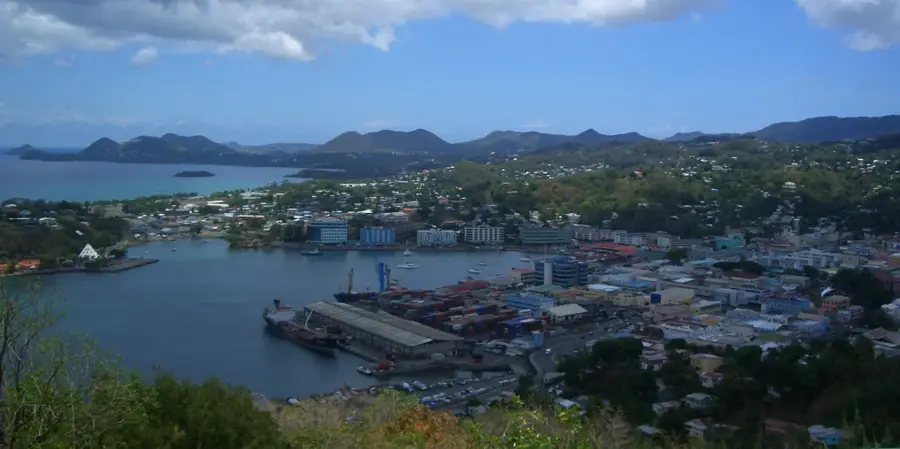
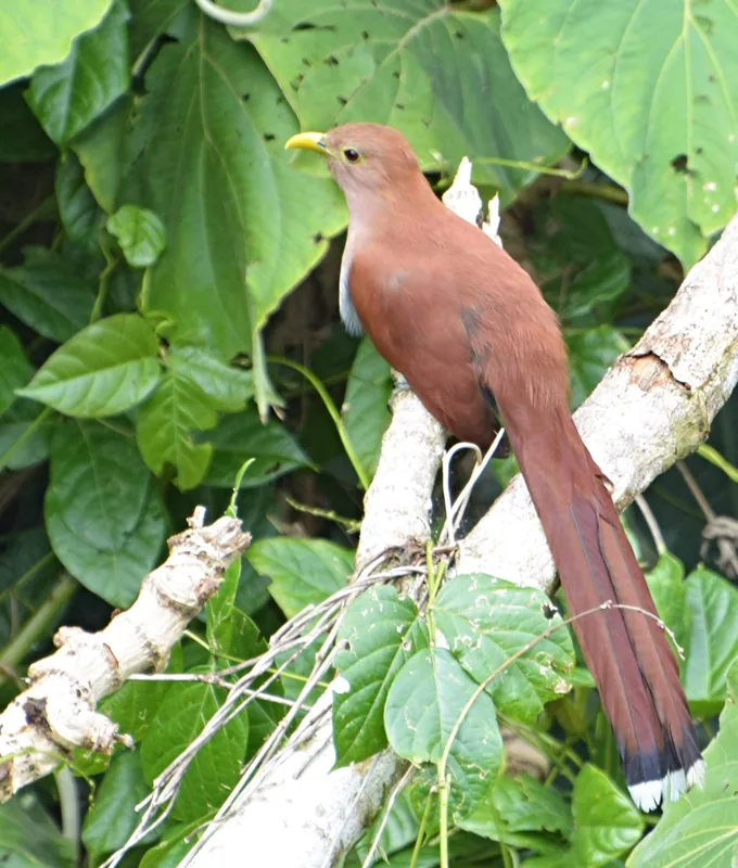
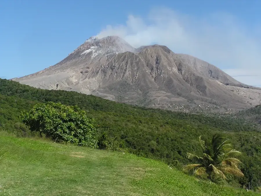
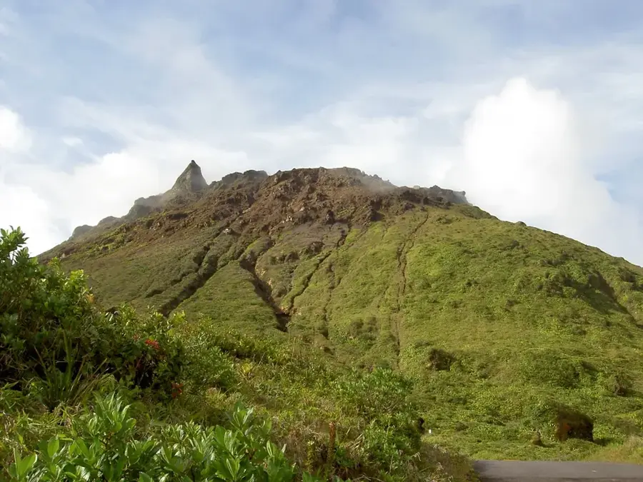
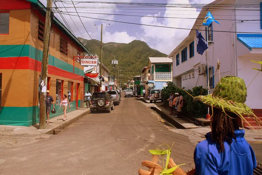
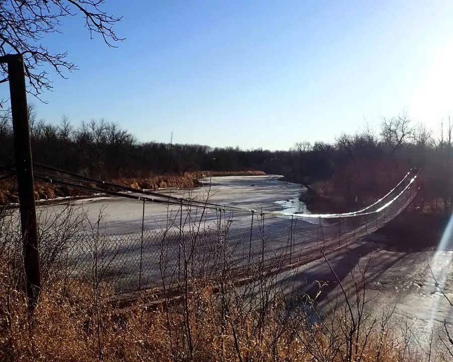
The Roseau River is one of Saint Lucia's longest and most vital waterways, carving a path through the lush landscapes of the island's western side. Originating in the high-rainfall forests of the Central Forest Reserve, it winds its way through the expansive Roseau Valley before emptying into the Caribbean Sea at Roseau Bay. The river is the lifeblood of the local agricultural industry, providing essential irrigation for the vast banana plantations that blanket the valley floor. Beyond its economic utility, the Roseau River is an ecological treasure, supporting diverse habitats that range from upland rainforests to coastal mangroves. The river and its surrounding wetlands are prime locations for birdwatching and eco-tourism, including guided kayak tours that allow visitors to experience the island's interior wilderness. As a critical water source and a scenic natural feature, the Roseau River embodies the rich environmental heritage and tropical vibrancy of Saint Lucia.
- Location: St. Lucia
- Top sights: Anse La Raye · Anse la Raye District · Grande Rivière de l'Anse la Raye
- Nearby: Canaries North (4 km)
Best time to visit & climate
The most pleasant time to visit is Jan–Mar.
| Jan | Feb | Mar | Apr | May | Jun | Jul | Aug | Sep | Oct | Nov | Dec | |
|---|---|---|---|---|---|---|---|---|---|---|---|---|
| Avg °C | 26 | 26 | 26 | 27 | 28 | 28 | 28 | 28 | 29 | 28 | 28 | 27 |
| Rain mm | 68 | 44 | 48 | 97 | 102 | 136 | 154 | 180 | 182 | 189 | 159 | 85 |
📋 Practical info
Geography
Facts
- Longest river on the island, approx 19 km in length.
- Primary source for the John Compton Dam.
- The dam reservoir holds 3 million cubic meters of water.
- Flows through the island's largest banana plantations.
- Key water source for northern districts of Saint Lucia.
- Empties into the Caribbean Sea at Roseau Bay.
Explore nearby
Notable places around
Route planner — Car & Motorhome
Where do you start? We build the route here, with stops and country notes along the way.
© OpenStreetMap contributors · OpenRouteService
Sights in the town Roseau River (3)
Sights nearby
Frequently asked questions
Is the Roseau River suitable for kayaking?
Are there crocodiles in the river?
Can you have a picnic by the riverbank?
How clean is the water?
Does the river pass through banana plantations?
Roseau River: where is it located?
Roseau River: what is there to see?
Roseau River: when is the best time to visit?
Roseau River: why is it worth visiting?

Nearby cities